Plizio Visual Lab
Sharazur Plain

Weather…
Water temperature…
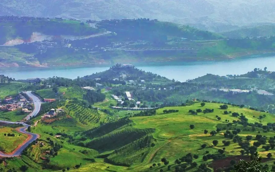
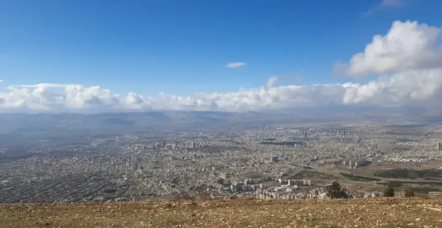
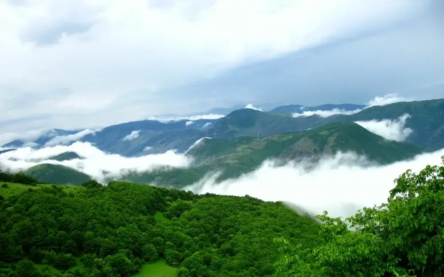
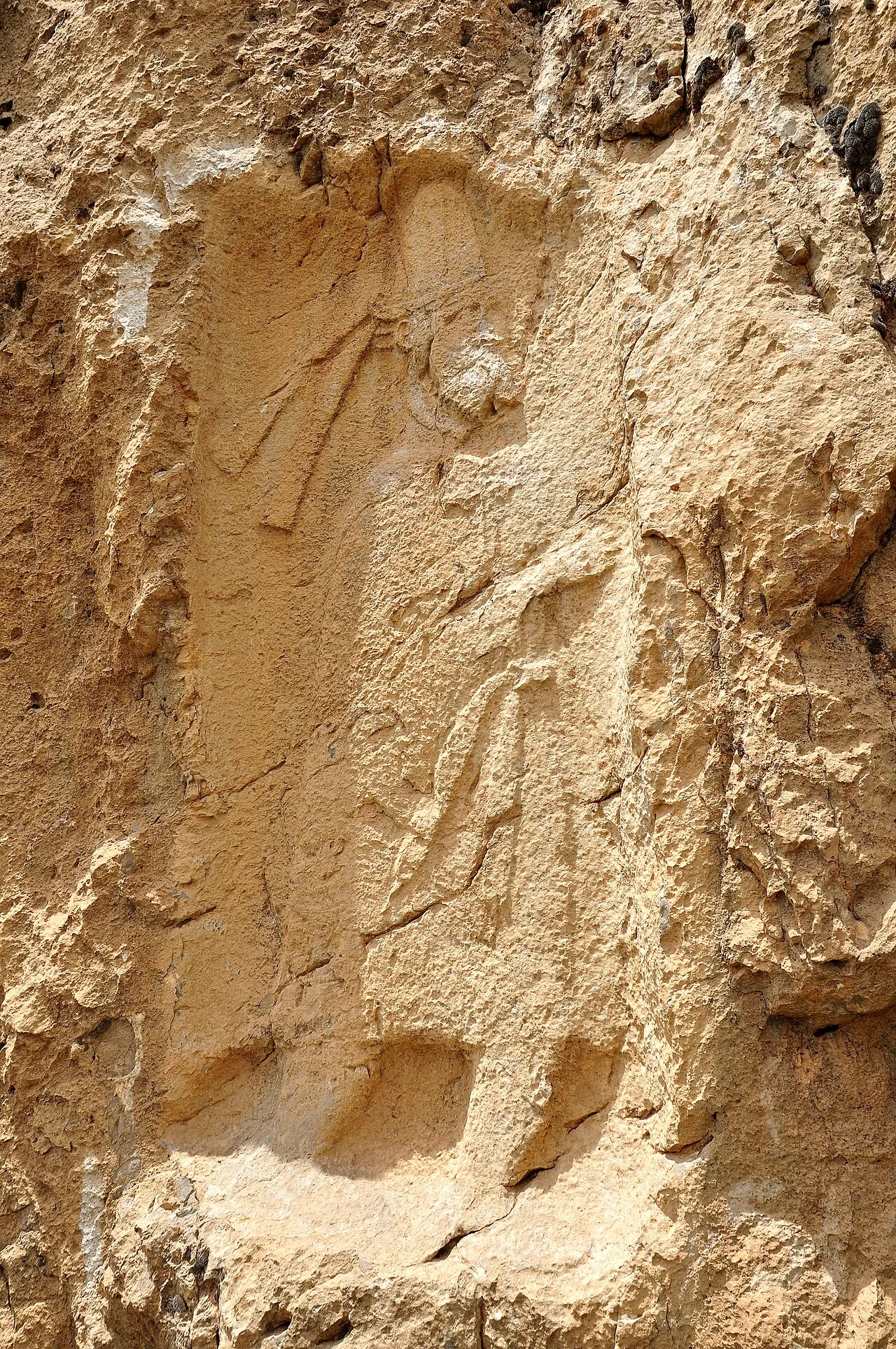
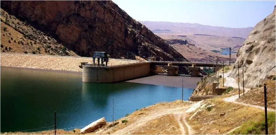
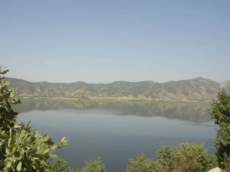
The Sharazur Plain is a tectonic depression located southeast of Sulaymaniyah in the Kurdistan Region of Iraq. Measuring 45 kilometers in length and 15 kilometers in width, it forms the most productive agricultural center of the province. The soil composition predominantly consists of deep, highly fertile alluvial soils. Unlike the southern and central parts of Iraq, this plain benefits from average annual precipitation ranging between 500 and 700 millimeters, which largely facilitates dry farming. The main crops cultivated include wheat, chickpeas, and sunflowers, while rice is also significant in irrigated zones. The basin is bisected by the Sirwan River, which provides a supplementary water supply for the farmlands. Surface archaeological surveys conducted in the 1960s and 2010s documented over 200 ancient settlement mounds (tells), indicating continuous agricultural use of the area since the late Neolithic period over 8,000 years ago.
- Location: Iraq
- Top sights: Sarawi Subhanagha · Haji Khurshida mosque · aland faishion
- Nearby: Penjwen (27 km)
Best time to visit & climate
The most pleasant time to visit is May, Jun, Sep.
| Jan | Feb | Mar | Apr | May | Jun | Jul | Aug | Sep | Oct | Nov | Dec | |
|---|---|---|---|---|---|---|---|---|---|---|---|---|
| Avg °C | 0 | 2 | 6 | 11 | 17 | 24 | 27 | 27 | 22 | 15 | 6 | 2 |
| Rain mm | 39 | 46 | 51 | 48 | 22 | 3 | 2 | 1 | 1 | 26 | 48 | 42 |
📋 Practical info
Geography
Facts
- The tectonic depression spans 45 kilometers in length and 15 kilometers in width.
- Average annual precipitation in the region typically ranges between 500 and 700 millimeters.
- The adequate rainfall allows for extensive dry farming of winter grains.
- The Sirwan River cuts through the plain, securing a supplementary water supply.
- Archaeologists have identified over 200 historical settlement mounds in the zone.
- Continuous agricultural utilization of the soils dates back over 8,000 years.
Explore nearby
Notable places around
Route planner — Car & Motorhome
Where do you start? We build the route here, with stops and country notes along the way.
© OpenStreetMap contributors · OpenRouteService
Sights in the town Sharazur Plain (7)
Sights nearby
Frequently asked questions
Where is the Sharazur Plain located?
What makes this plain special?
What archaeological finds are there here?
What is mainly grown in Sharazur?
When is the plain at its greenest?
Sharazur Plain: where is it located?
Sharazur Plain: what is there to see?
Sharazur Plain: when is the best time to visit?
Sharazur Plain: why is it worth visiting?

Nearby cities
Nature

More places