Plizio Visual Lab
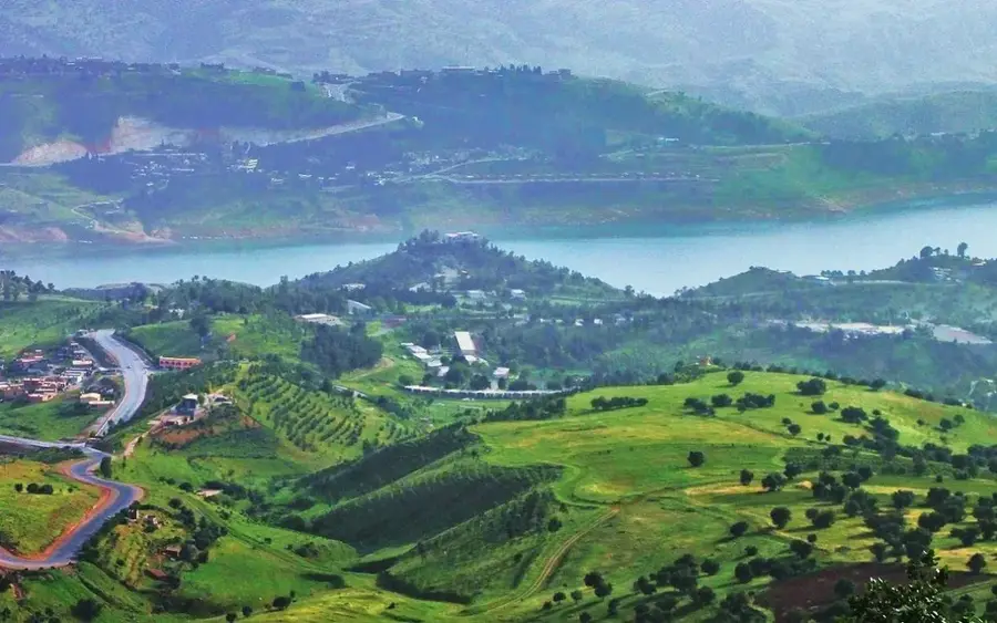
Derbendikhan Dam
Weather…
Water temperature…
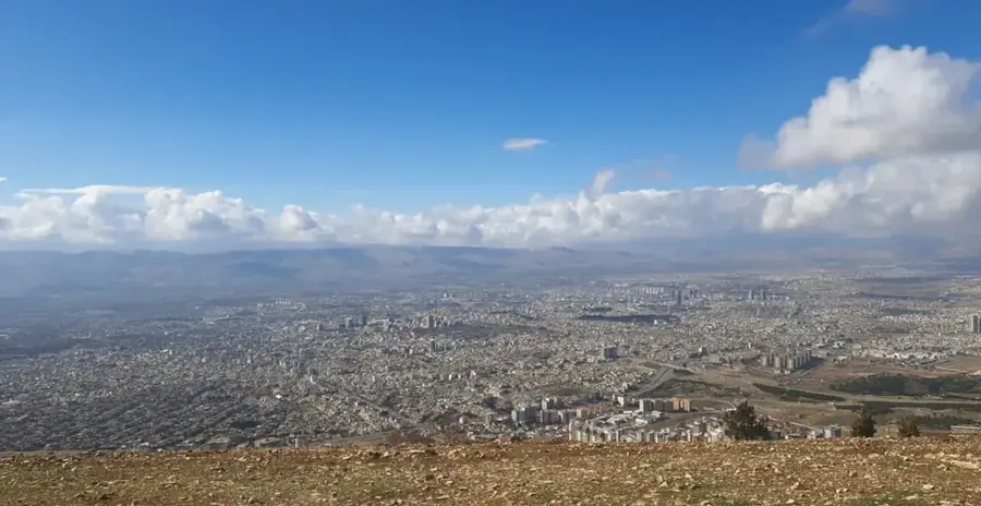
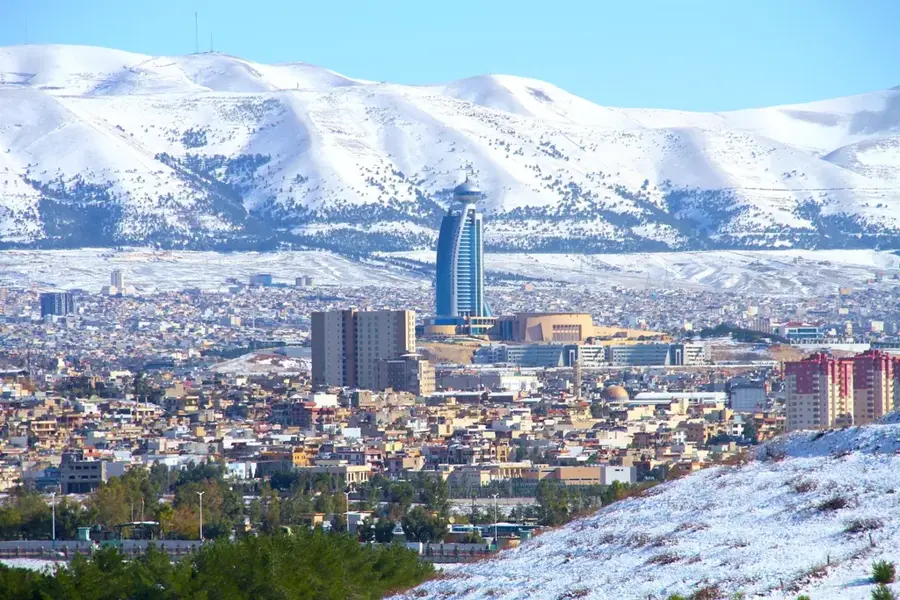
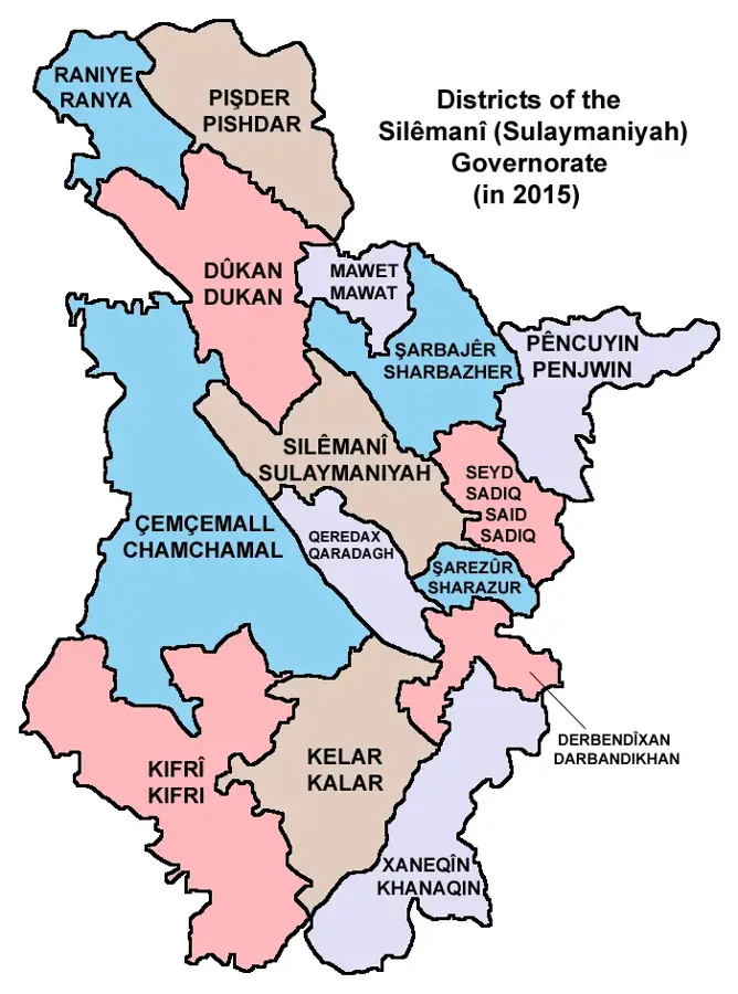
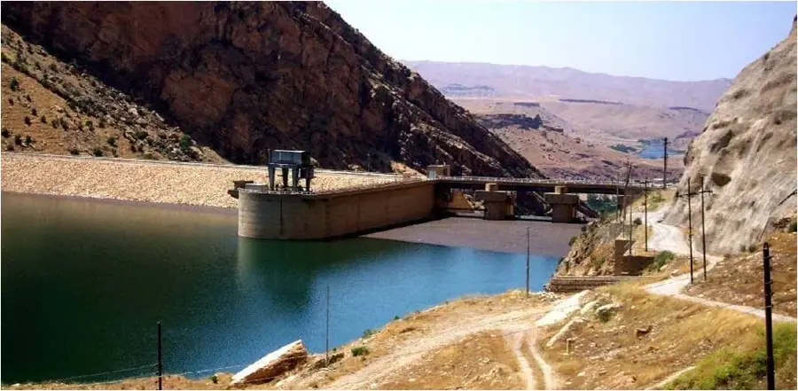
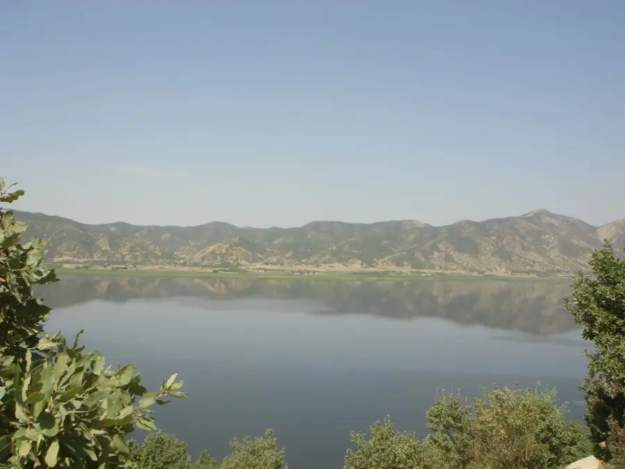
The Derbendikhan Dam is a critical multi-purpose dam located on the Diyala River in the Sulaymaniyah Governorate of northeastern Iraq. Constructed between 1956 and 1961, it is designed as a rock-fill dam with a central clay core. The primary functions of the dam include regulating water for agricultural irrigation, generating hydroelectric power, and providing flood protection for downstream communities. Lake Derbendikhan, created by the dam, serves as a vital water reservoir and a significant recreational area for the surrounding region. The integrated hydroelectric station provides renewable energy to the Kurdish power grid. In recent years, the dam has faced substantial challenges, most notably a powerful earthquake in 2017 that caused structural damage and necessitated extensive emergency repairs. Despite these setbacks, the dam remains an indispensable component of Iraq's national infrastructure, particularly for the water security of the Diyala Governorate. Water management at Derbendikhan is also a key topic in cross-border negotiations with neighboring Iran, as the headwaters of the Diyala River originate across the border.
- Location: Iraq
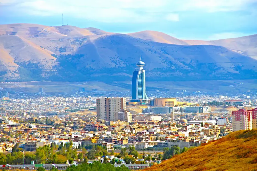
- Top sights: Darbandikhan City Hall · Goma bahry · Sirwan river tour site
- Nearby: Penjwen (47 km)
Best time to visit & climate
The most pleasant time to visit is Apr, May, Oct.
| Jan | Feb | Mar | Apr | May | Jun | Jul | Aug | Sep | Oct | Nov | Dec | |
|---|---|---|---|---|---|---|---|---|---|---|---|---|
| Avg °C | 6 | 8 | 13 | 18 | 24 | 31 | 34 | 34 | 29 | 23 | 13 | 8 |
| Rain mm | 46 | 50 | 53 | 43 | 17 | 2 | 1 | 0 | 1 | 21 | 48 | 45 |
📋 Practical info
Geography
Facts
- The dam stands 128 meters high above its lowest foundation point.
- The length of the dam's crest is 445 meters.
- The reservoir's maximum storage capacity is approximately 3 cubic kilometers.
- The hydroelectric plant has an installed capacity of 249 megawatts.
- Construction was carried out by an international consortium under US supervision.
- The 2017 earthquake that affected the dam had a magnitude of 7.3.
Explore nearby
Notable places around
Route planner — Car & Motorhome
Where do you start? We build the route here, with stops and country notes along the way.
© OpenStreetMap contributors · OpenRouteService
Sights in the town Derbendikhan Dam (4)
Sights nearby
Frequently asked questions
Where is the Derbendikhan Dam located?
Can you go boating there?
Are there restaurants there?
Was the dam damaged by earthquakes?
Is the area family-friendly?
Derbendikhan Dam: where is it located?
Derbendikhan Dam: what is there to see?
Derbendikhan Dam: when is the best time to visit?
Derbendikhan Dam: why is it worth visiting?

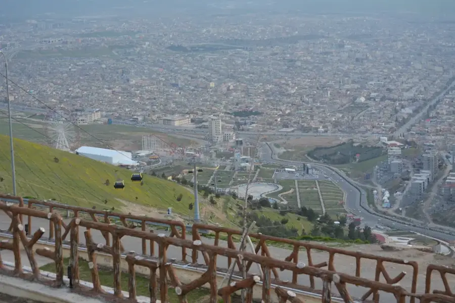
Nearby cities
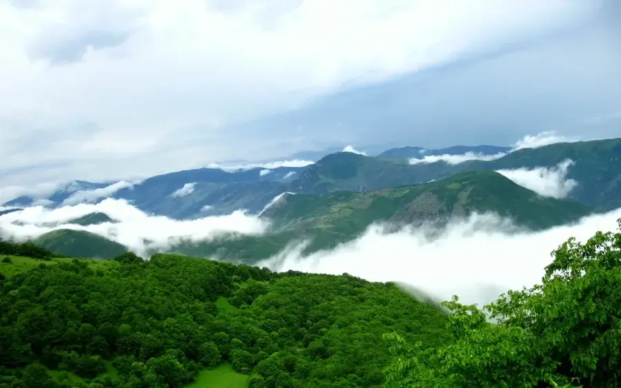
Nature

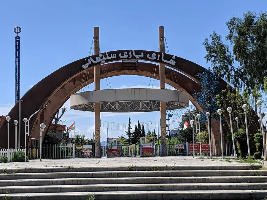
More places