Plizio Visual Lab
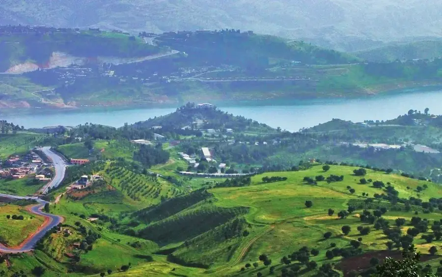
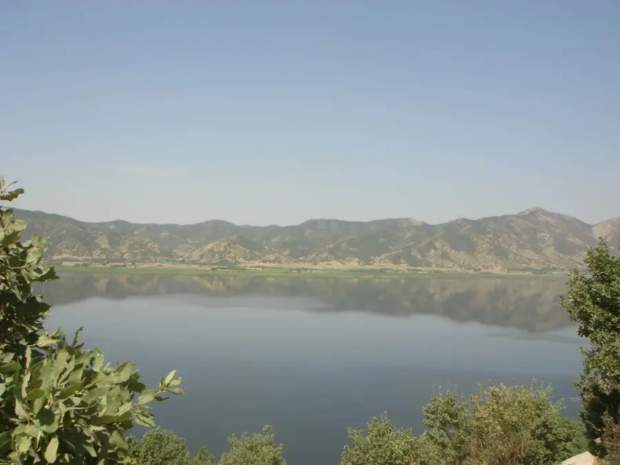
Lake Darbandikhan
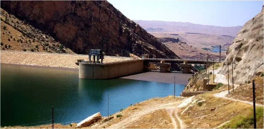
Lake Darbandikhan is an artificial water body positioned in the Iraqi province of Sulaymaniyah, which was formed by damming the course of the Diyala River. The dam structure was erected between 1956 and 1961 by a consortium of American and European companies, managing to accumulate a maximum volume of 3 cubic kilometers of water. The dam wall reaches an altitude of 128 meters and fulfills primary functions in providing water for the irrigation of arable land, controlling flood flows, and producing electrical energy through a plant with a capacity of 249 megawatts. Set against the backdrop of the rugged terrain of the Zagros Mountains, the lake gives a wide visual perspective, a detail that turns it into an attractive destination locally.
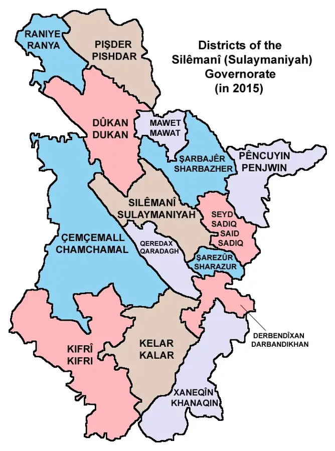
- Location: Iraq
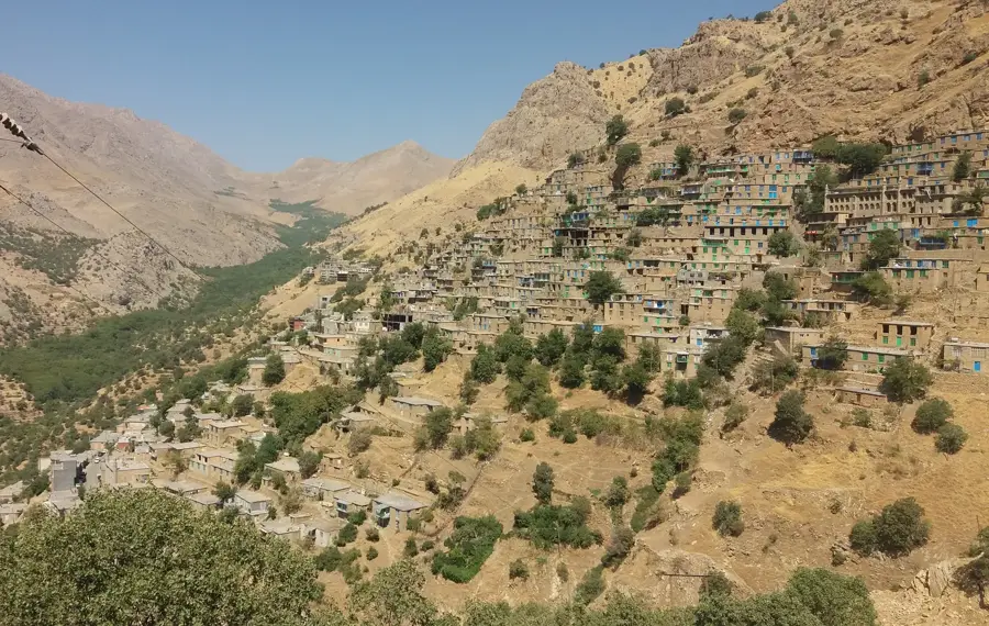
- Top sights: qaragh chami zhalanaw · Aspakan island (Horses Island)
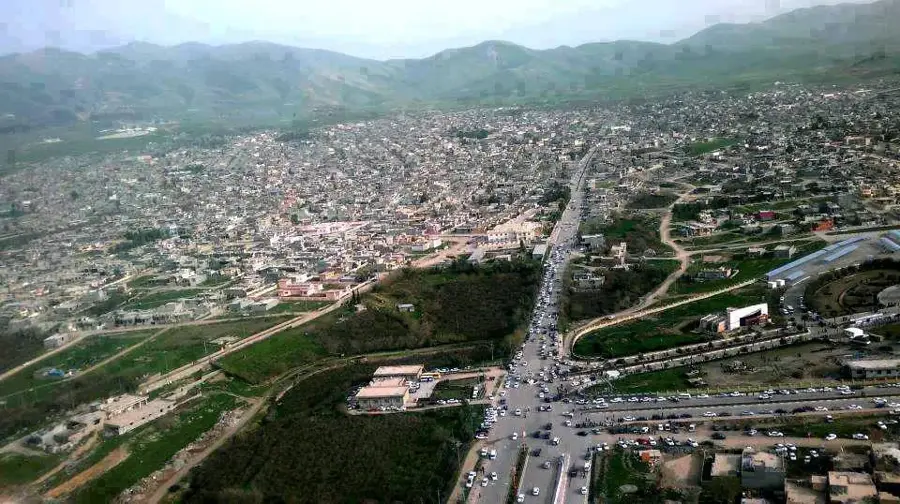
- Nearby: Penjwen (47 km)
Best time to visit & climate
The most pleasant time to visit is Apr, May, Oct.
| Jan | Feb | Mar | Apr | May | Jun | Jul | Aug | Sep | Oct | Nov | Dec | |
|---|---|---|---|---|---|---|---|---|---|---|---|---|
| Avg °C | 6 | 8 | 13 | 18 | 24 | 31 | 34 | 34 | 29 | 23 | 13 | 8 |
| Rain mm | 46 | 50 | 53 | 43 | 17 | 2 | 1 | 0 | 1 | 21 | 48 | 45 |
📋 Practical info
Geography
Facts
- Accumulation basin capable of storing 3 cubic km of water.
- Structure wall reaches a maximum height of 128 meters.
- Built between 1956 and 1961 on the Diyala River.
- Hydroelectric plant has a capacity of 249 MW.
- Dam suffered structural damage after the 2017 earthquake.
- Crucial reservoir for irrigation and water flow control.
Explore nearby
Notable places around
Route planner — Car & Motorhome
Where do you start? We build the route here, with stops and country notes along the way.
© OpenStreetMap contributors · OpenRouteService
Sights in the town Lake Darbandikhan (2)
Sights nearby
Frequently asked questions
What makes Darbandikhan Lake special?
Are picnics allowed on the shore?
What is the condition of the roads?
Are there restaurants nearby?
When is the water level highest?
Lake Darbandikhan: where is it located?
Lake Darbandikhan: what is there to see?
Lake Darbandikhan: when is the best time to visit?
Lake Darbandikhan: why is it worth visiting?

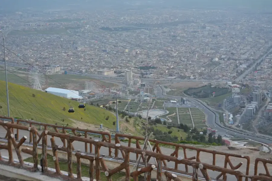
Nearby cities
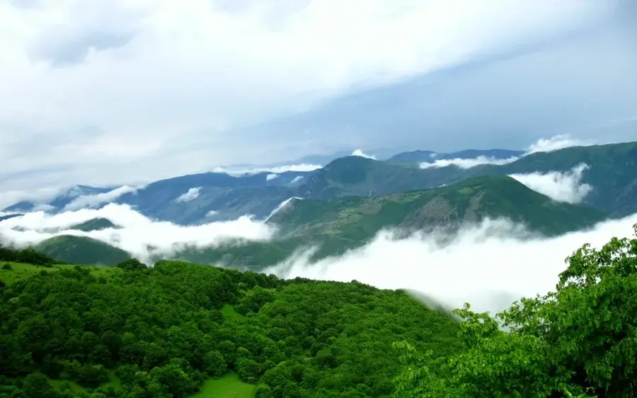
Nature

More places