Plizio Visual Lab
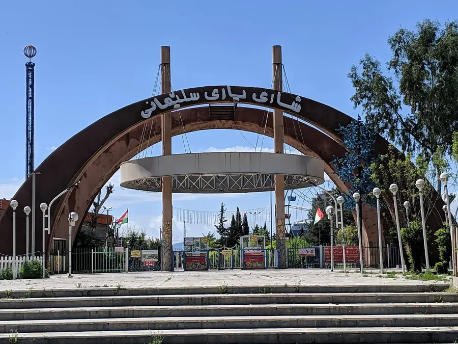
Shahrizor Plain
Weather…
Water temperature…
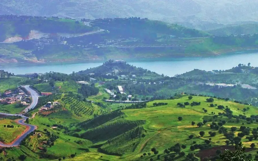
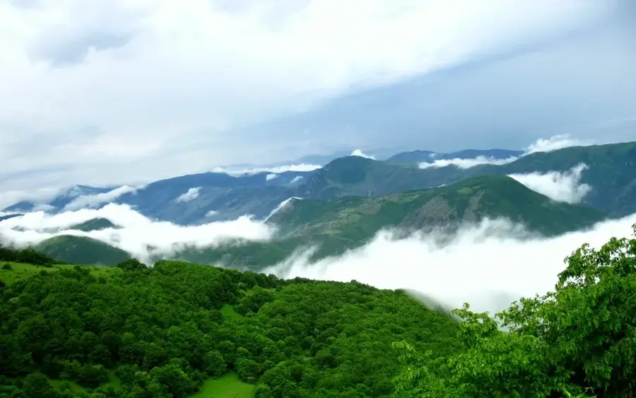
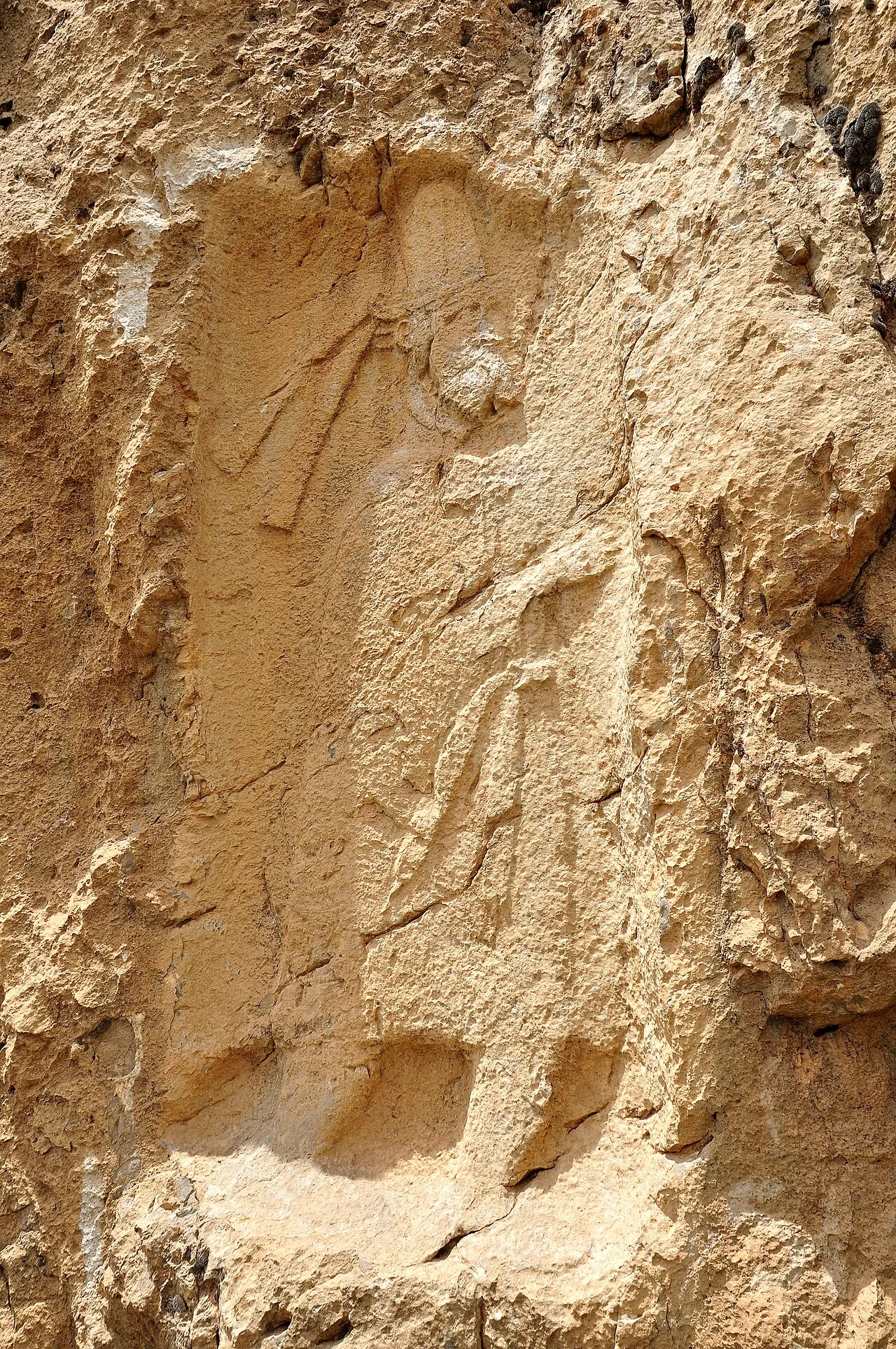
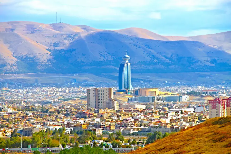
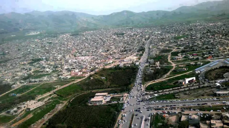
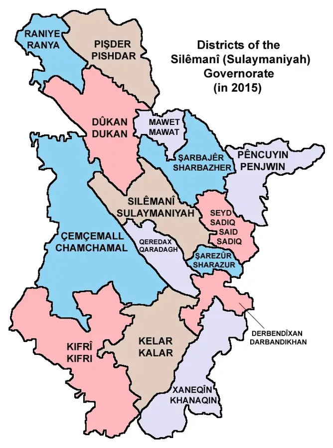
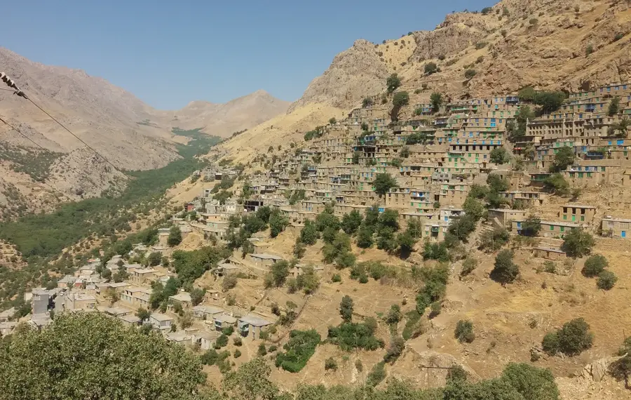
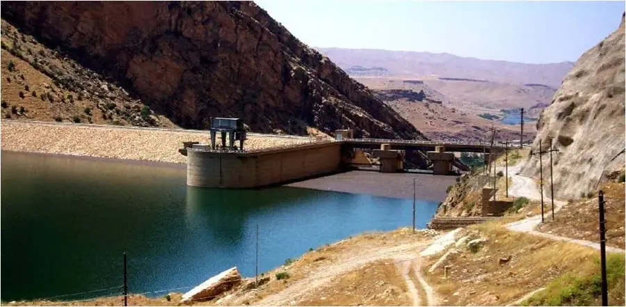
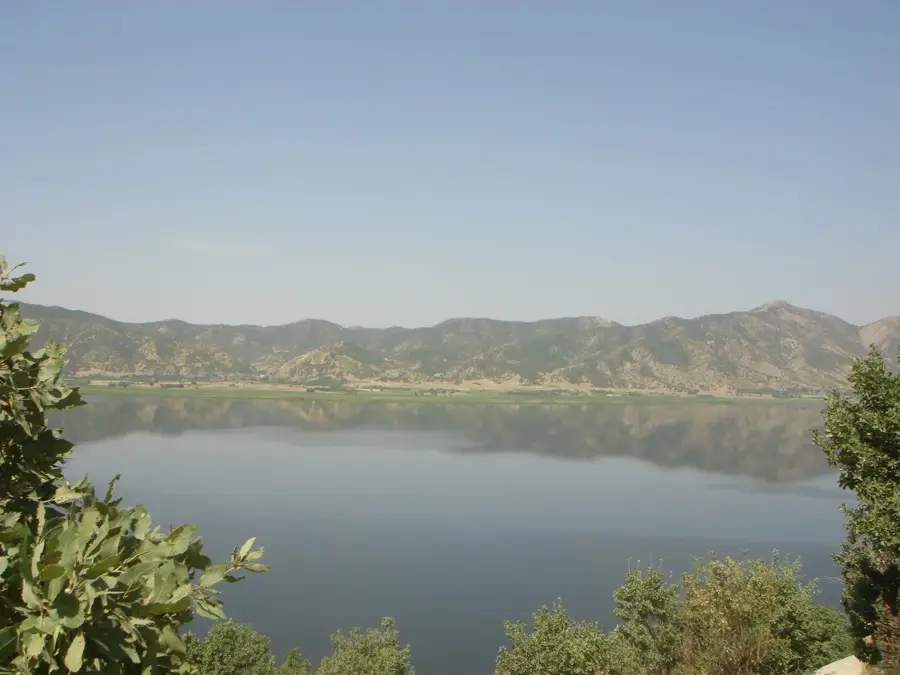
The Shahrizor Plain is an extensive and highly fertile lowland area located in the Sulaymaniyah Governorate of the Kurdistan Region. Covering approximately 1,500 square kilometers, it is encircled by the imposing Zagros mountain ranges, including the Hawraman and Azmar mountains. Due to its superior soil quality and abundant water resources, it has been regarded as the breadbasket of the region for millennia. Archaeological findings at sites like Tell Shamshara attest to continuous habitation since the Neolithic period, underscoring the plain's historical significance as a cradle of early civilizations. Today, the region remains a center of agriculture, producing grains, tobacco, and various fruits. The Shahrizor Plain also plays a vital role in Kurdish identity and history, frequently mentioned in classical literature. The construction of the Darbandikhan Dam to the south significantly altered the plain's hydrography, enhancing irrigation capabilities. Despite modernization, the plain has maintained its rural character and ecological diversity, hosting many small villages.
- Location: Iraq
- Top sights: Firdaws Mosque · Grdanaze · Iman Mosque
- Nearby: Penjwen (25 km)
Best time to visit & climate
The most pleasant time to visit is May, Jun, Sep.
| Jan | Feb | Mar | Apr | May | Jun | Jul | Aug | Sep | Oct | Nov | Dec | |
|---|---|---|---|---|---|---|---|---|---|---|---|---|
| Avg °C | 0 | 2 | 6 | 11 | 17 | 24 | 27 | 27 | 22 | 15 | 6 | 2 |
| Rain mm | 39 | 46 | 51 | 48 | 22 | 3 | 2 | 1 | 1 | 26 | 48 | 42 |
📋 Practical info
Geography
Facts
- The Shahrizor Plain spans a total area of about 1,500 square kilometers.
- It is famous for producing some of the highest grain yields in Iraq.
- Archeological site Tell Shamshara dates back to the 6th millennium BC.
- The plain lies at an average elevation of 500-600 meters above sea level.
- Halabja and Sulaymaniyah serve as the primary urban hubs for the plain.
- The region is a key producer of traditional Kurdish tobacco varieties.
Explore nearby
Notable places around
Route planner — Car & Motorhome
Where do you start? We build the route here, with stops and country notes along the way.
© OpenStreetMap contributors · OpenRouteService
Sights in the town Shahrizor Plain (6)
Sights nearby
Frequently asked questions
What makes the Shahrizor plain historically interesting?
Is the plain tourist-friendly?
What can you see there?
Is the region easily accessible?
What is the climate like?
Shahrizor Plain: where is it located?
Shahrizor Plain: what is there to see?
Shahrizor Plain: when is the best time to visit?
Shahrizor Plain: why is it worth visiting?

Nearby cities
Nature

More places