Plizio Visual Lab
Al-Jazira Plateau
Weather…
Water temperature…
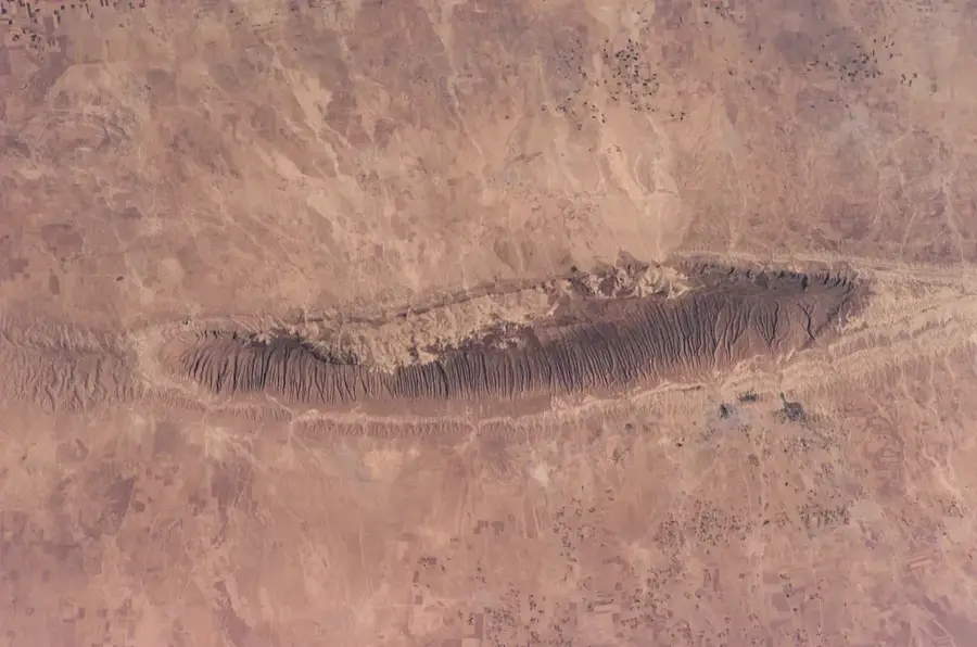
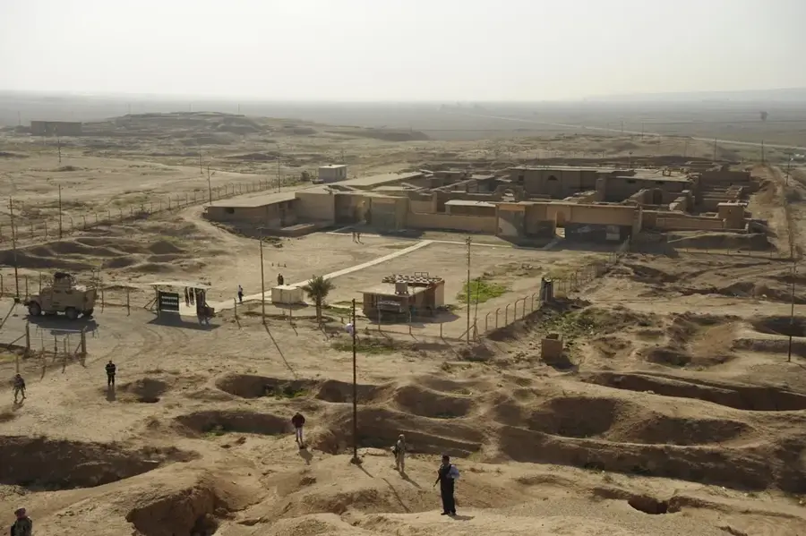
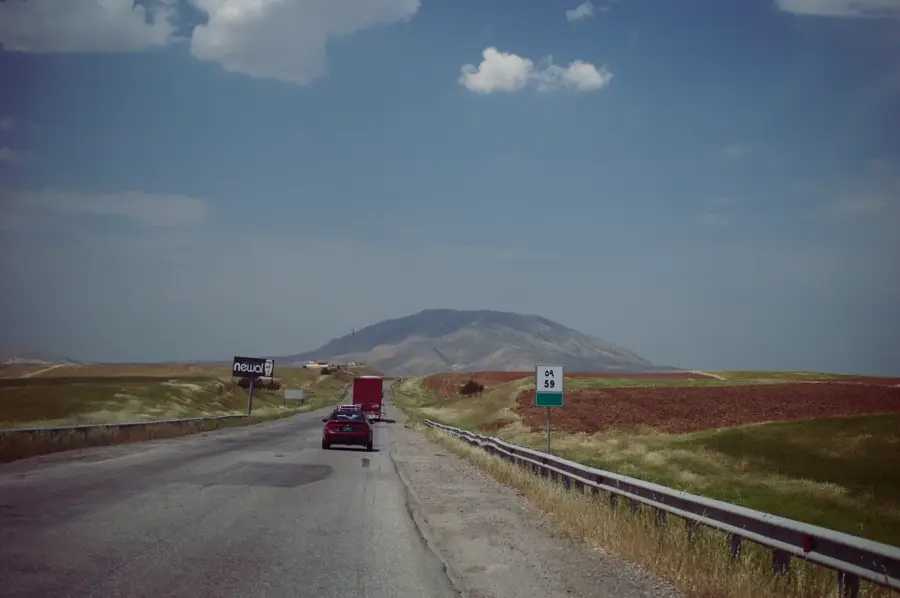
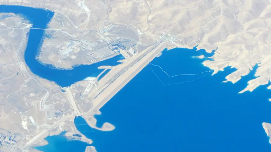
The Al-Jazira Plateau represents the portion of Northern Mesopotamia situated in Syria between the Euphrates and Tigris rivers. This expansive plateau is characterized by rolling hills and fertile plains, which, especially in the north due to higher rainfall, support intensive agricultural production. The region is traditionally regarded as the breadbasket of Syria, where wheat, cotton, and legumes are grown on a large scale. Geologically, the plateau consists of sedimentary rocks shaped over millions of years by fluvial deposits and erosion. Historically, Al-Jazira is a core area of early civilizations, with numerous tells (settlement mounds) testifying to thousands of years of human habitation. The region is also a key hub for the Syrian petroleum industry, particularly around al-Hasaka and Rumeilan. Culturally, the plateau is characterized by significant diversity, home to Arabs, Kurds, and Assyrians. Despite its agricultural productivity, the region faces challenges such as water scarcity and soil degradation.
Best time to visit & climate
The most pleasant time to visit is Apr, May, Oct.
| Jan | Feb | Mar | Apr | May | Jun | Jul | Aug | Sep | Oct | Nov | Dec | |
|---|---|---|---|---|---|---|---|---|---|---|---|---|
| Avg °C | 6 | 9 | 14 | 20 | 26 | 31 | 34 | 34 | 30 | 23 | 14 | 8 |
| Rain mm | 20 | 18 | 17 | 18 | 5 | 0 | 0 | 0 | 0 | 7 | 13 | 17 |
📋 Practical info
Geography
Facts
- The name 'Al-Jazira' is Arabic for 'the island'.
- The region encompasses the Governorates of Hasaka, Raqqa, and parts of Deir ez-Zor.
- Al-Jazira is the primary cultivation area for Syrian durum wheat.
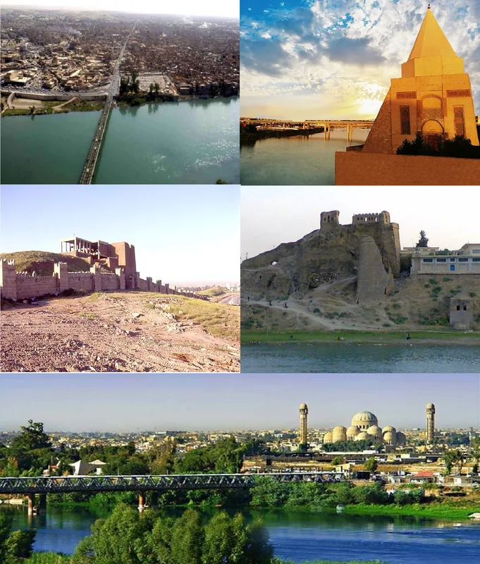
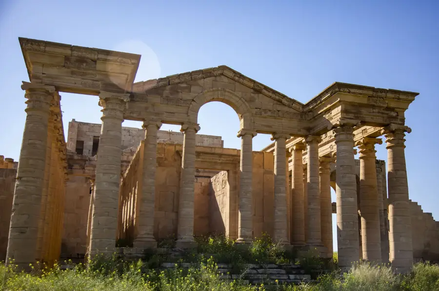
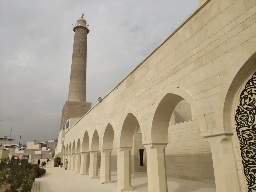
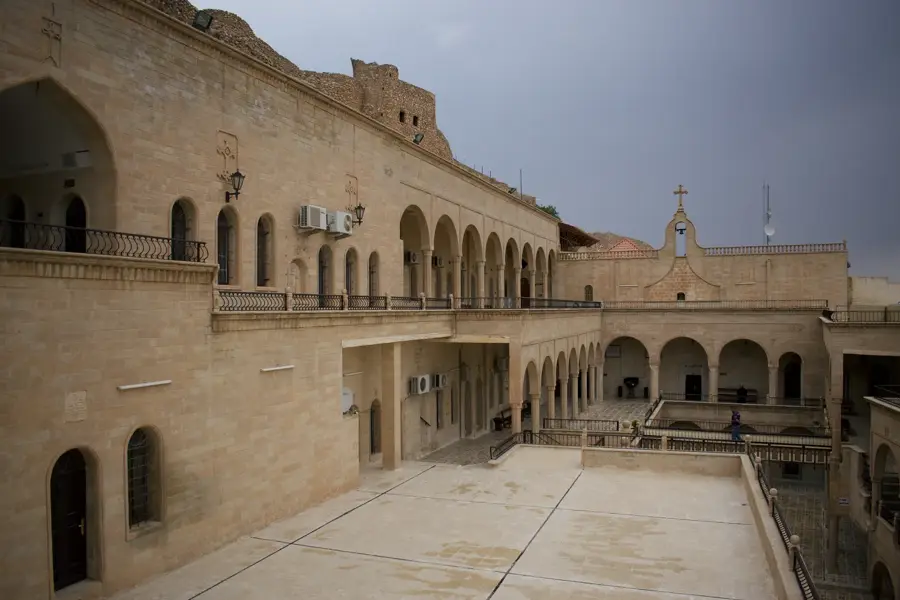
- It is home to major archaeological sites such as Tell Halaf and Tell Brak.
- The plateau ranges in elevation mostly between 200 and 500 meters.
- Roughly 80% of Syria's oil reserves are concentrated in this region.
Explore nearby
Notable places around
Route planner — Car & Motorhome
Where do you start? We build the route here, with stops and country notes along the way.
© OpenStreetMap contributors · OpenRouteService
Sights nearby
Frequently asked questions
What is the Al-Jazira Plateau?
Is there agriculture there?
Which cities are in this region?
What is the climate like on the plateau?
Are there historical attractions there?
Al-Jazira Plateau: where is it located?
Al-Jazira Plateau: when is the best time to visit?
Al-Jazira Plateau: why is it worth visiting?

Nearby cities
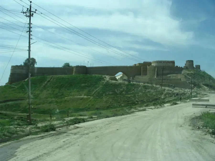
History & landmarks
Nature
More places