Plizio Visual Lab
Surtsey Island Reserve
Weather…
Water temperature…
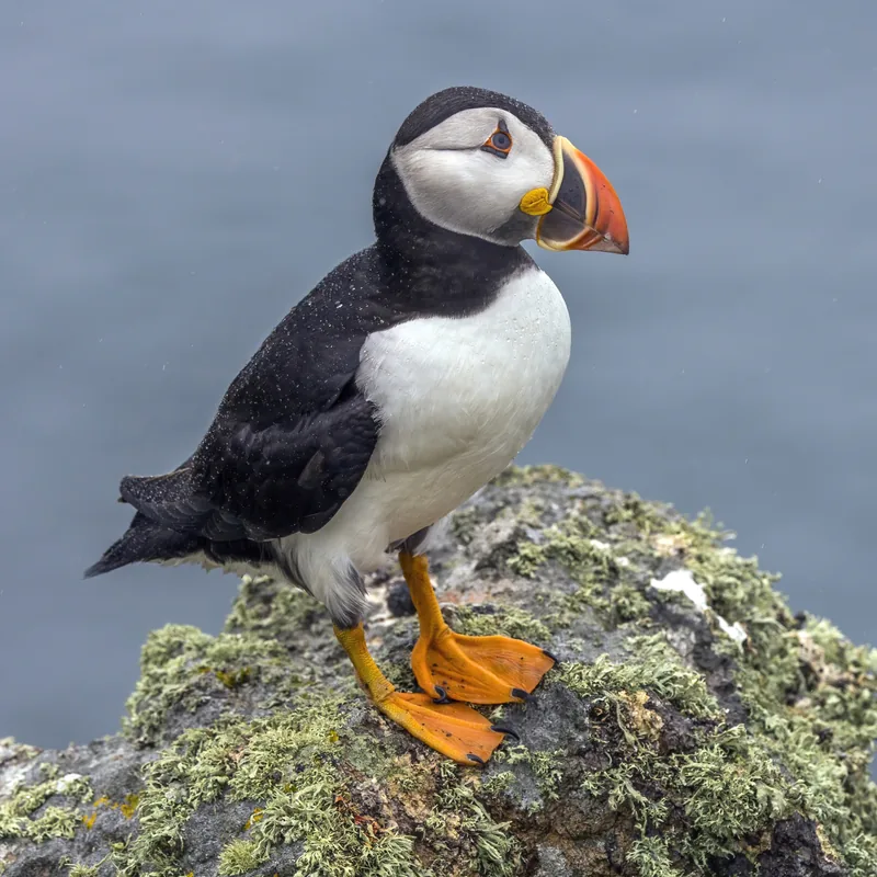
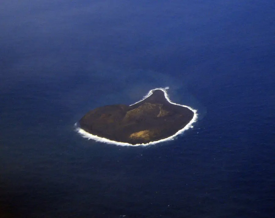
Surtsey is a volcanic island off the southern coast of Iceland that was formed between 1963 and 1967 during a massive undersea eruption. Named after the fire giant Surtr from Norse mythology, the island serves as a unique open-air laboratory for the global scientific community. Since its emergence, human access has been strictly limited to authorized researchers to observe the natural colonization of flora and fauna without external interference. The first vascular plant was documented on the island as early as 1965, and today it hosts dozens of plant species and nesting colonies of seabirds, including fulmars and guillemots. Seals also utilize the newly formed beaches for breeding and raising their young. Due to its immense scientific significance, Surtsey was designated a UNESCO World Heritage site in 2008. As the island is subject to constant erosion by wind and waves, its surface area has nearly halved since the end of the eruption, illustrating the dynamic nature of geological processes in a pristine environment.
- Location: Iceland
- Top sights: Surtsey · Jólnir
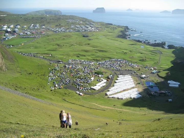
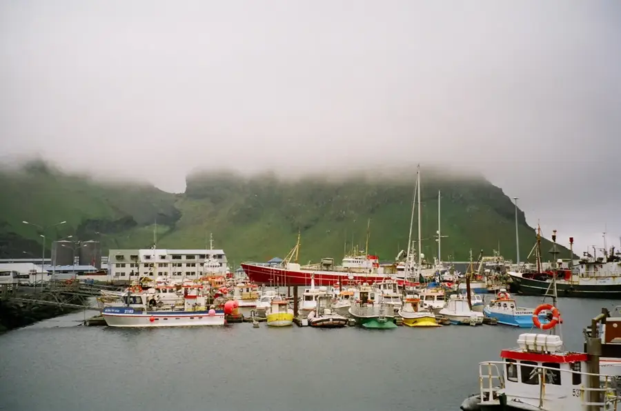
- Nearby: Vestmannaeyjar (23 km)
Best time to visit & climate
The most pleasant time to visit is Jun–Aug.
| Jan | Feb | Mar | Apr | May | Jun | Jul | Aug | Sep | Oct | Nov | Dec | |
|---|---|---|---|---|---|---|---|---|---|---|---|---|
| Avg °C | 3 | 3 | 4 | 5 | 7 | 10 | 12 | 12 | 9 | 7 | 5 | 3 |
| Rain mm | 152 | 137 | 137 | 97 | 68 | 63 | 77 | 89 | 144 | 125 | 128 | 156 |
📋 Practical info
Geography
Facts
- Created by a volcanic eruption from 1963 to 1967.
- Designated a UNESCO World Heritage site in 2008.
- Accessible only to authorized scientific researchers.
- Named after the fire giant Surtr from Norse mythology.
- The first plants were documented on the island in 1965.
- The island's area is shrinking due to constant erosion.
Explore nearby
Notable places around
Route planner — Car & Motorhome
Where do you start? We build the route here, with stops and country notes along the way.
© OpenStreetMap contributors · OpenRouteService
Sights in the town Surtsey Island Reserve (2)
Sights nearby
Frequently asked questions
Can I visit Surtsey Island?
How was Surtsey formed?
Why is access so strictly regulated?
How can you see Surtsey?
Is Surtsey a UNESCO World Heritage site?
Surtsey Island Reserve: where is it located?
Surtsey Island Reserve: what is there to see?
Surtsey Island Reserve: when is the best time to visit?
Surtsey Island Reserve: why is it worth visiting?

Nearby cities


History & landmarks