Plizio Visual Lab
Koszegi Mountains

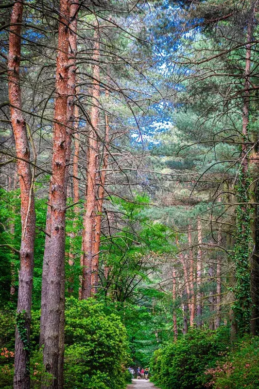
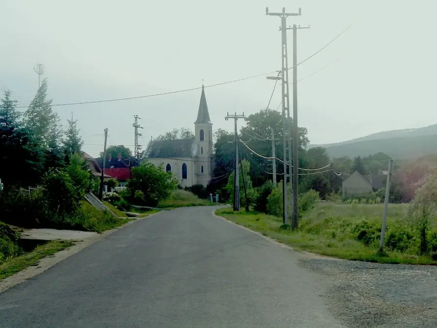
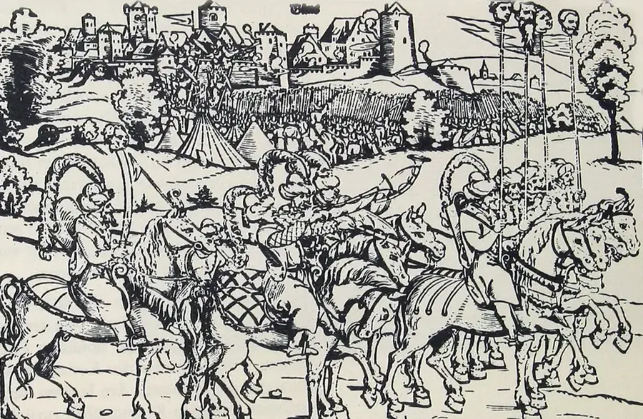
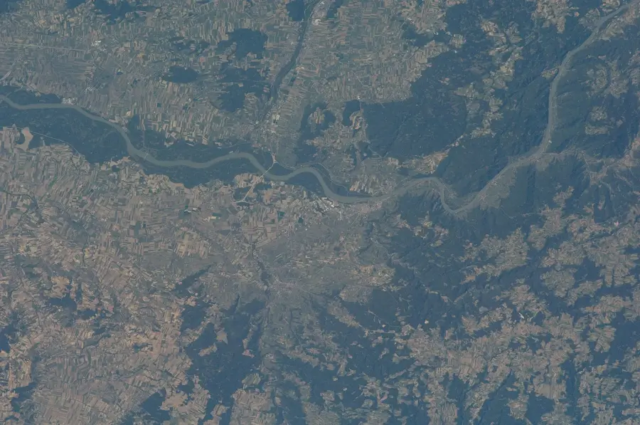
The Kőszeg Mountains form the easternmost extension of the Alps, spanning the border between Hungary and Austria. The highest point is Írott-kő, which at 884 meters serves as the tallest peak in the Transdanubian region. Geologically, the range is distinct for its metamorphic rocks, primarily crystalline schist and green schist, which support a unique subalpine flora. The cool and humid climate has fostered dense beech and coniferous forests that are home to several rare plant species. Historically, the area gained significance during the 1532 Siege of Kőszeg, where a small garrison successfully delayed the Ottoman army heading toward Vienna. Today, much of the range is part of the cross-border Geschriebenstein-Írott-kő Nature Park, established to preserve its ecological integrity. Due to the exceptionally clean air, several health resorts and sanatoriums were built in the region during the 20th century to treat respiratory illnesses.
- Location: Hungary
- Top sights: Vörös-kereszt · Irány-hegy · Tábor-hegy
- Nearby: Vasvár (44 km)
Best time to visit & climate
The most pleasant time to visit is Jun–Aug.
| Jan | Feb | Mar | Apr | May | Jun | Jul | Aug | Sep | Oct | Nov | Dec | |
|---|---|---|---|---|---|---|---|---|---|---|---|---|
| Avg °C | -2 | 0 | 4 | 9 | 14 | 18 | 21 | 20 | 15 | 9 | 4 | -1 |
| Rain mm | 39 | 40 | 46 | 45 | 87 | 98 | 95 | 96 | 86 | 59 | 52 | 44 |
📋 Practical info
Geography
Facts
- The highest peak, Írott-kő, stands at 884 meters above sea level.
- The range consists of 300 to 400 million-year-old metamorphic rocks.
- The Nature Park was the first of its kind established in Hungary in 1997.
- In 1532, 800 defenders faced an army of nearly 100,000 Ottomans.
- Annual precipitation in the mountains often exceeds 800 mm.
- The National Blue Trail, Europe's first long-distance path, begins here.
Explore nearby
Notable places around
Route planner — Car & Motorhome
Where do you start? We build the route here, with stops and country notes along the way.
© OpenStreetMap contributors · OpenRouteService
Sights in the town Koszegi Mountains (10)
Erdészeti múzeum🏛 museum
Forestry museum in the Kőszeg Mountains, displaying tools and history of woodland management.
Ciklámen-forrás
Spring in the Kőszeg Mountains, named after cyclamens. Fresh spring water.
Hétforrás
Seven springs in the Kőszeg Mountains that flow together. Popular hiking spot.
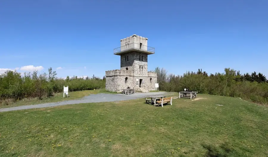
Óház
Mountain in Hungary, in the Kőszeg Mountains. Ruins of an old settlement on the summit.
Óház-tető
Mountain in Hungary, viewpoint in the Kőszeg Mountains. Panoramic view from the top.
Kendig-eresz
Rock overhang or viewpoint in the Kőszeg Mountains. Suitable for a rest stop.
Sights nearby
Frequently asked questions
What is the highest point in the Kőszeg Mountains?
How is the climate in the mountains?
Are there many hiking trails?
Can you cross the Austrian border?
Which plants are typical here?
Koszegi Mountains: where is it located?
Koszegi Mountains: what is there to see?
Koszegi Mountains: when is the best time to visit?
Koszegi Mountains: why is it worth visiting?

Nearby cities


History & landmarks

Nature
More places