Plizio Visual Lab
Irott-ko
Weather…
Water temperature…
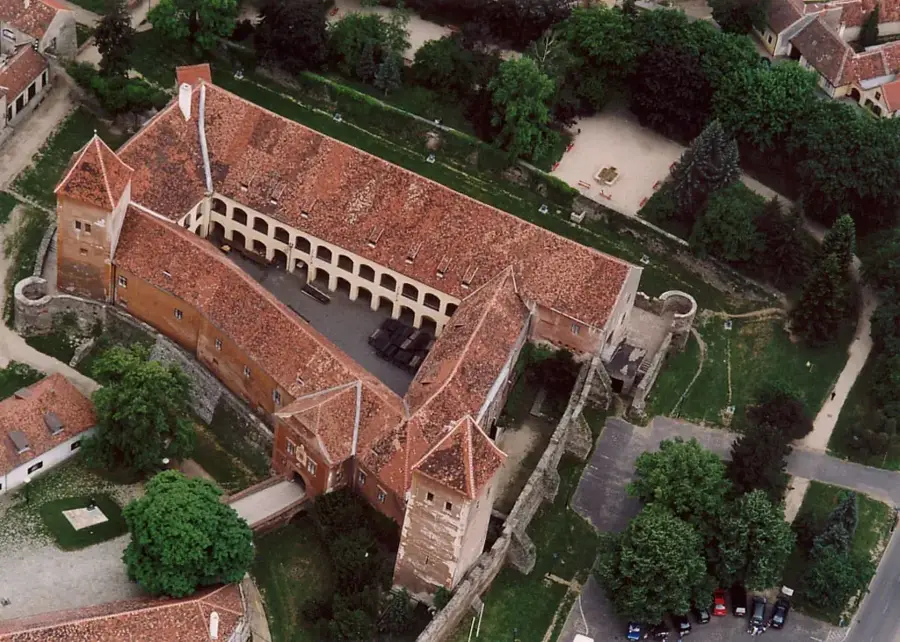
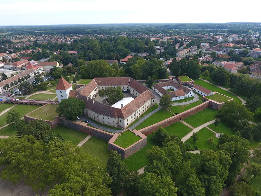
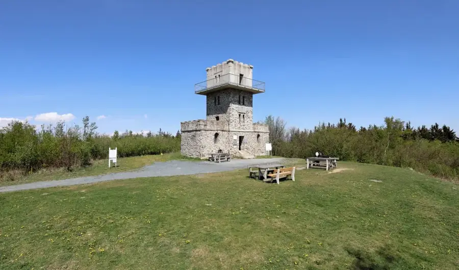
Írott-kő, also known as Geschriebenstein, is the highest peak of the Kőszeg Mountains and the entire Transdanubian region, standing at 884 meters. The summit is situated precisely on the border between Hungary and Austria, serving as a landmark for cross-border cooperation. At the peak stands a stone lookout tower built in 1913, with the international boundary line running right through its center. The mountain's name, which means 'Written Stone', originates from inscribed boundary markers that were first mentioned in historical records in the 14th century. Geologically, the mountain is composed of metamorphic rocks, characteristic of the Alpine foothills. For hikers, the summit holds significant status as the starting point of the National Blue Trail (Kéktúra), Hungary's most famous long-distance path. In clear weather, the observation deck provides a panoramic view stretching from Lake Neusiedl to the north to the Balaton Uplands to the east. Today, the area is the centerpiece of a binational nature park dedicated to biodiversity and outdoor activities.
- Location: Hungary
- Top sights: Aussichtswarte am Geschriebenstein / Írott-kő kilátó · Geschriebenstein / Írott-kő · Hörmann-forrás
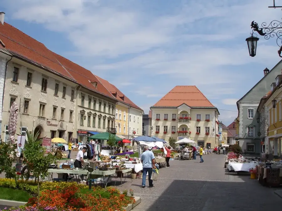
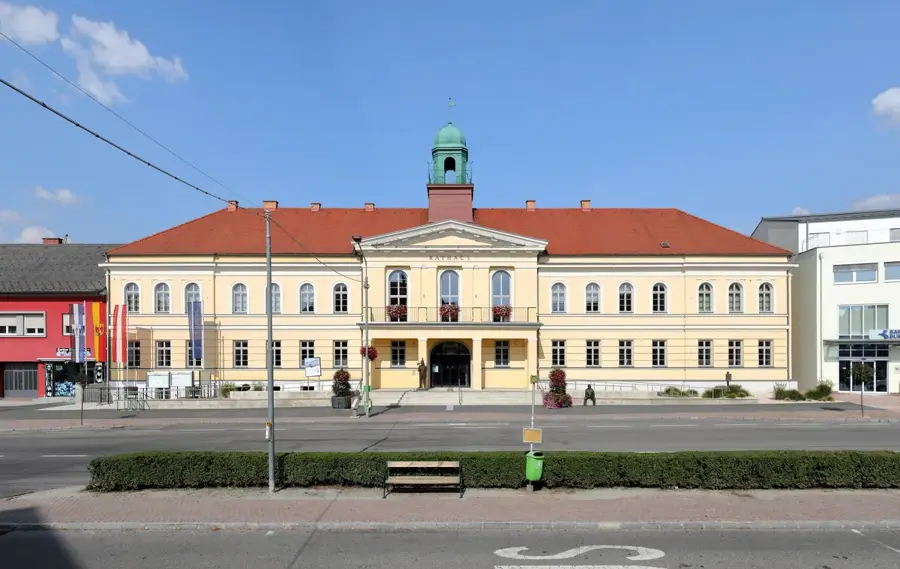
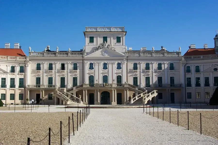
- Nearby: Vasvár (44 km)
Best time to visit & climate
The most pleasant time to visit is Jun–Aug.
| Jan | Feb | Mar | Apr | May | Jun | Jul | Aug | Sep | Oct | Nov | Dec | |
|---|---|---|---|---|---|---|---|---|---|---|---|---|
| Avg °C | -2 | 0 | 4 | 9 | 14 | 18 | 21 | 20 | 15 | 9 | 4 | -1 |
| Rain mm | 39 | 40 | 46 | 45 | 87 | 98 | 95 | 96 | 86 | 59 | 52 | 44 |
📋 Practical info
Geography
Facts
- Standing at 884 meters, it is the highest peak in Transdanubia.
- The current stone lookout tower was constructed in 1913.
- The border between Austria and Hungary bisects the tower.
- It marks the western terminus of the National Blue Trail (Kéktúra).
- The name 'Írott-kő' refers to historic inscribed boundary stones.
- The summit is a major hub for the European long-distance path E4.
Explore nearby
Notable places around
Route planner — Car & Motorhome
Where do you start? We build the route here, with stops and country notes along the way.
© OpenStreetMap contributors · OpenRouteService
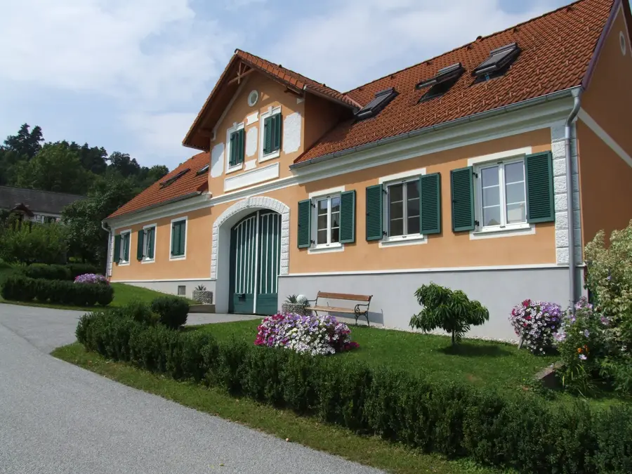
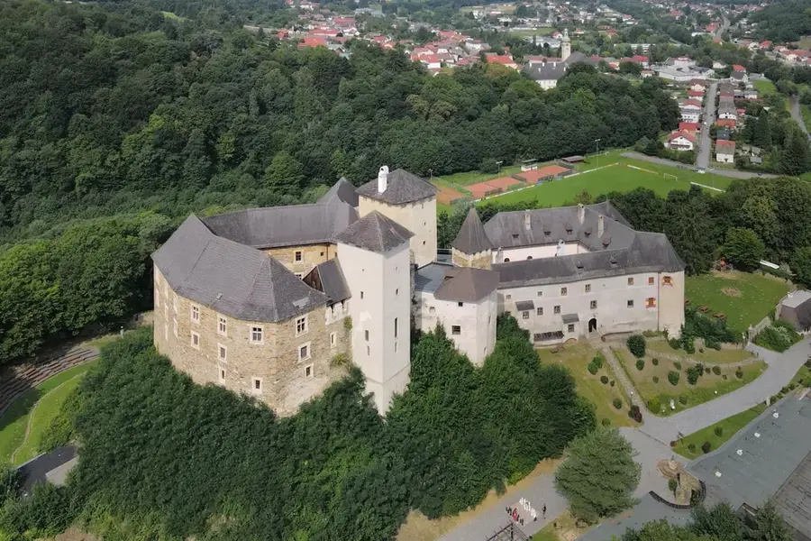
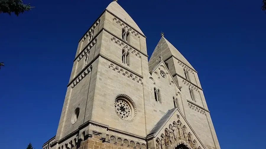
Sights in the town Irott-ko (4)
Sights nearby
Frequently asked questions
How can you get to Írott-kő?
Where is the lookout tower located?
What can be seen from the summit?
Is the path suitable for children?
Is there a snack bar at the summit?
Irott-ko: where is it located?
Irott-ko: what is there to see?
Irott-ko: when is the best time to visit?
Irott-ko: why is it worth visiting?

Nearby cities
History & landmarks
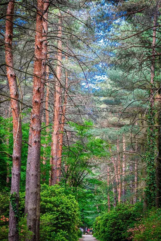
Nature
More places