Plizio Visual Lab
Galyateto
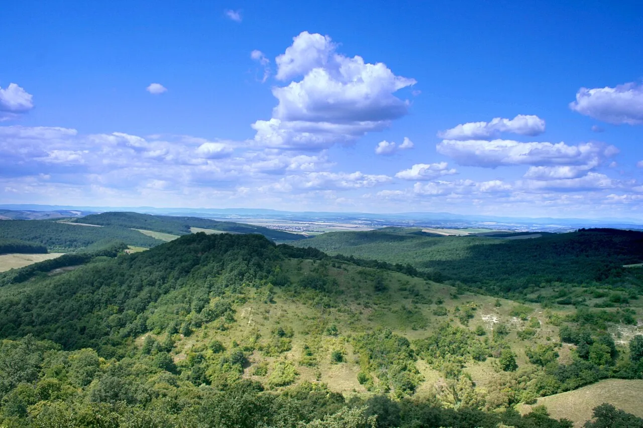
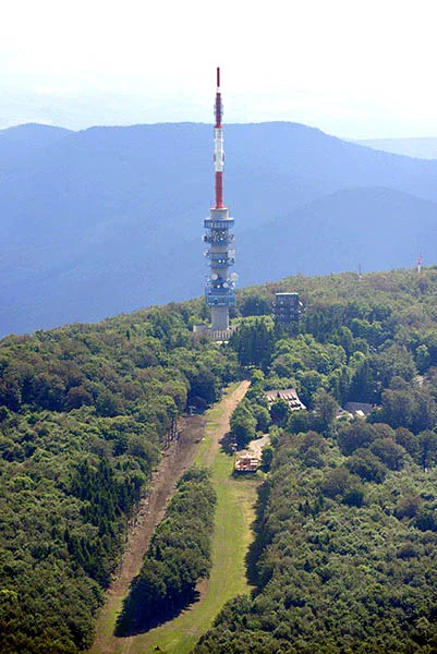
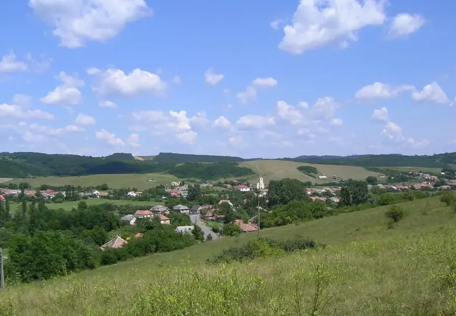
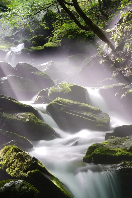
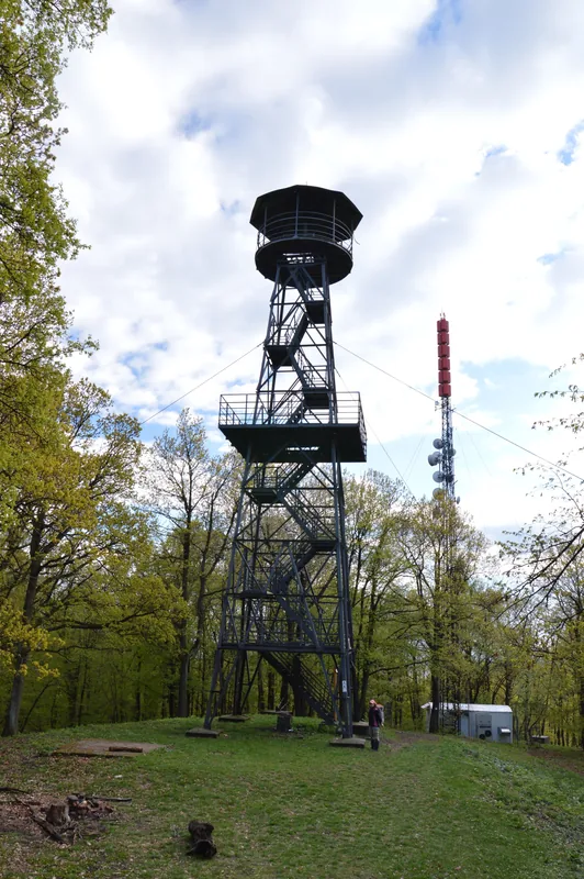
Galyatető is the second highest peak of the Mátra mountain range and Hungary, reaching an elevation of 964 meters above sea level. Located in the northern part of the country, it has been a significant center for high-altitude tourism since the late 19th century. The settlement at the top is the highest village in Hungary. A major landmark is the Galya Lookout Tower, originally built in 1934 and completely renovated and heightened in 2015, winning several architectural awards. The peak is surrounded by dense beech forests, which are part of the Mátra Landscape Protection Area. Historically, the Grand Hotel Galyatető, opened in 1939, served as a luxury mountain resort and later a climatic health center. The area is a key point on the National Blue Trail hiking route, attracting visitors year-round for its unique microclimate and panoramic views of the High Tatras on clear days. Modern infrastructure includes a tourist center and diverse recreational facilities catering to hikers and winter sports enthusiasts.
- Location: Hungary
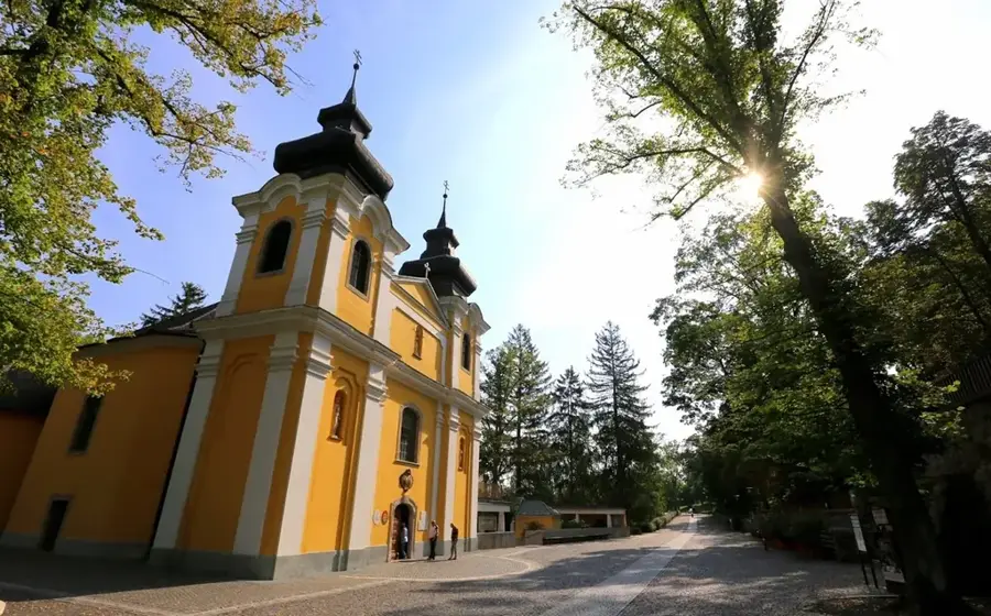
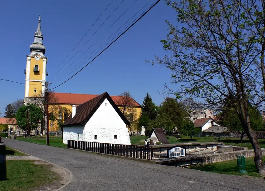
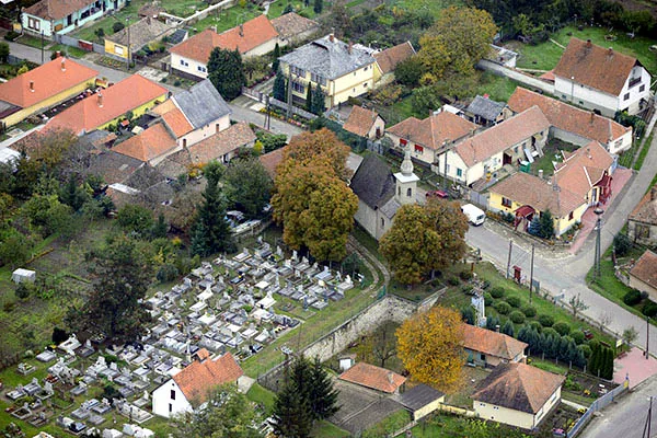
- Top sights: Galya-tető · Thuróczy Lajos Lookout Tower · Régi vízmű
- Nearby: Pásztó (17 km)
Best time to visit & climate
The most pleasant time to visit is Jun–Aug.
| Jan | Feb | Mar | Apr | May | Jun | Jul | Aug | Sep | Oct | Nov | Dec | |
|---|---|---|---|---|---|---|---|---|---|---|---|---|
| Avg °C | -3 | -1 | 4 | 11 | 16 | 19 | 22 | 21 | 16 | 10 | 4 | -1 |
| Rain mm | 41 | 44 | 44 | 43 | 75 | 80 | 83 | 67 | 58 | 56 | 49 | 47 |
📋 Practical info
Geography
Facts
- Elevation is 964 meters
- Lookout tower built in 1934
- Grand Hotel opened in 1939
- Tower renovation completed in 2015
- Highest village in Hungary
- Part of the National Blue Trail
Explore nearby
Notable places around
Route planner — Car & Motorhome
Where do you start? We build the route here, with stops and country notes along the way.
© OpenStreetMap contributors · OpenRouteService
Sights in the town Galyateto (10)
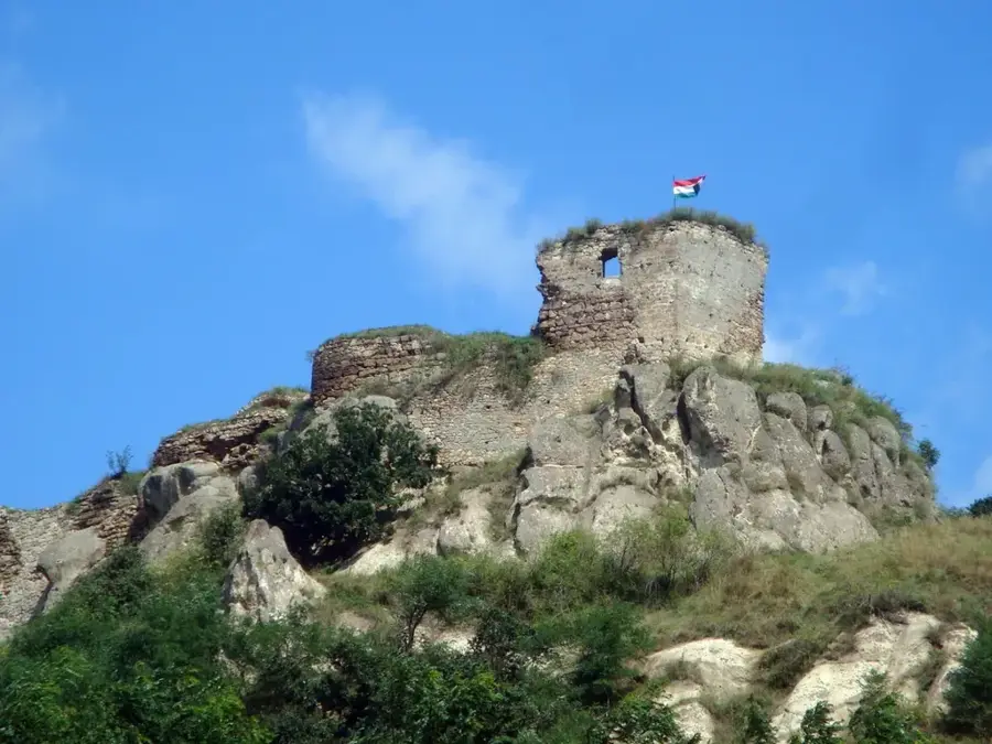
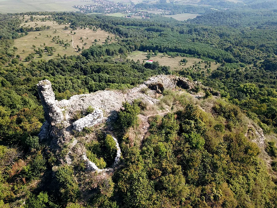
Galyavár🏰 castle
Medieval early castle ruin, only slight wall fragments remain.
Nyesett-vár
Ruins of a former fortification, barely discernible traces.
Piszkés-tető
Mountain in Hungary, located in the Mátra, site of an observatory.
Piszkéstetői Obszervatórium
Observatory on Piszkés-tető, used for astronomical research.
Orosz Mátyás vára🏰 castle
Castle ruin, historical fortification, only sparse remains visible.
Szabadtéri színpad
Open-air stage in the Mátra, venue for cultural events outdoors.
Kis-Galya
Mountain in Hungary, a smaller peak in the Mátra range, hiking area.
Sights nearby
Frequently asked questions
What is the main attraction in Galyatető?
Is Galyatető accessible by car?
How high is the peak?
Are there winter sports opportunities?
Can you stay overnight in the lookout tower?
Galyateto: where is it located?
Galyateto: what is there to see?
Galyateto: when is the best time to visit?
Galyateto: why is it worth visiting?

Nearby cities
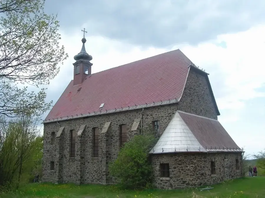
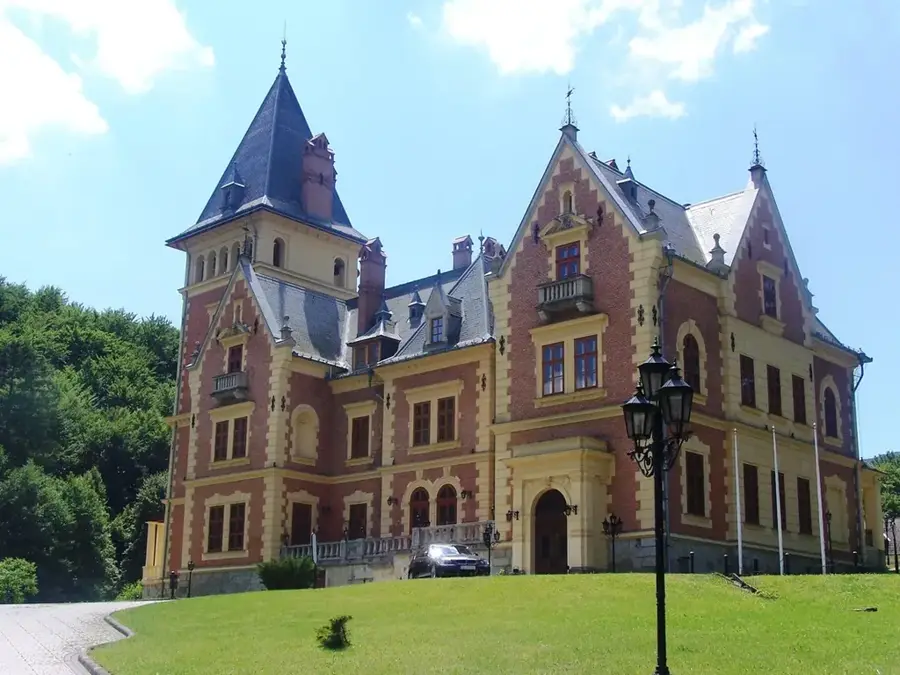


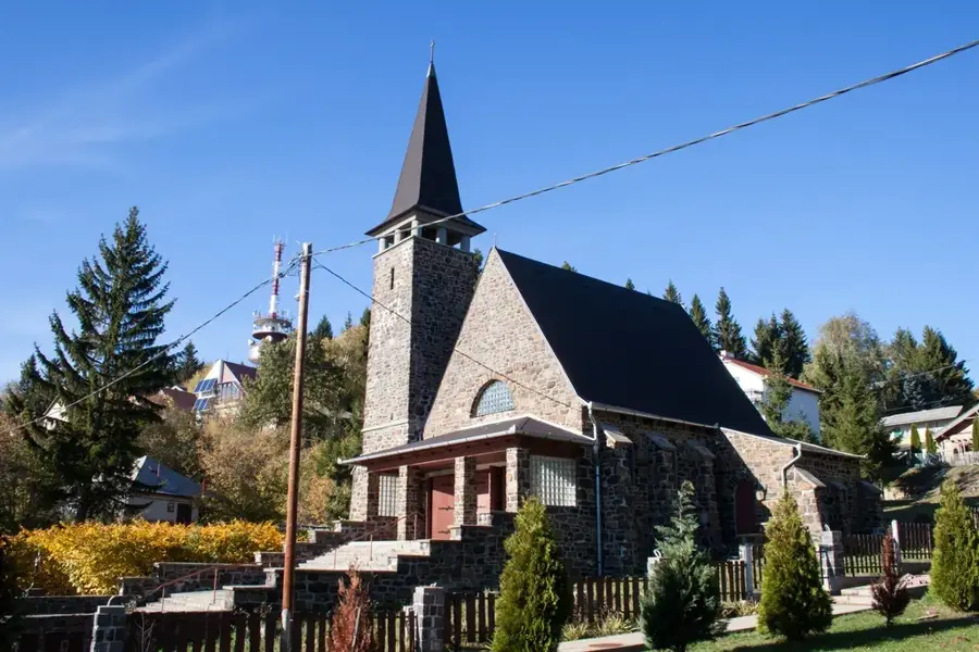
History & landmarks
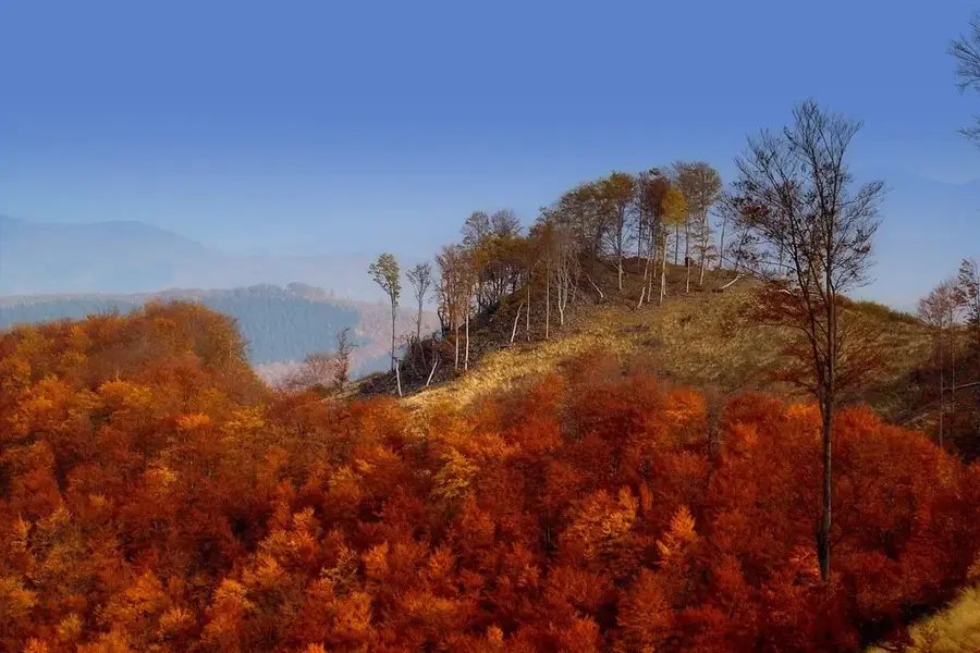
Nature
More places