Plizio Visual Lab
Kékestető
ℹ️Practical info — Kékestető
▾
🌤 Weather — 5 days
📍 Nearby
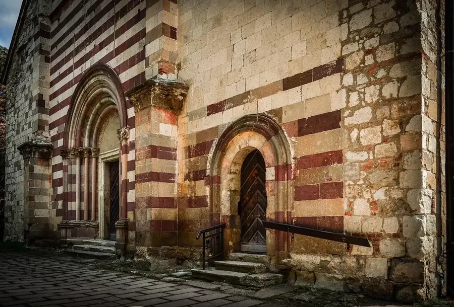
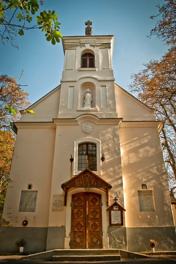
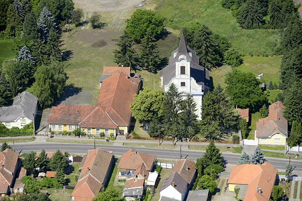
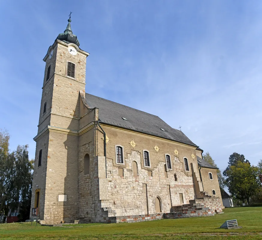
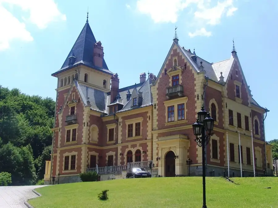
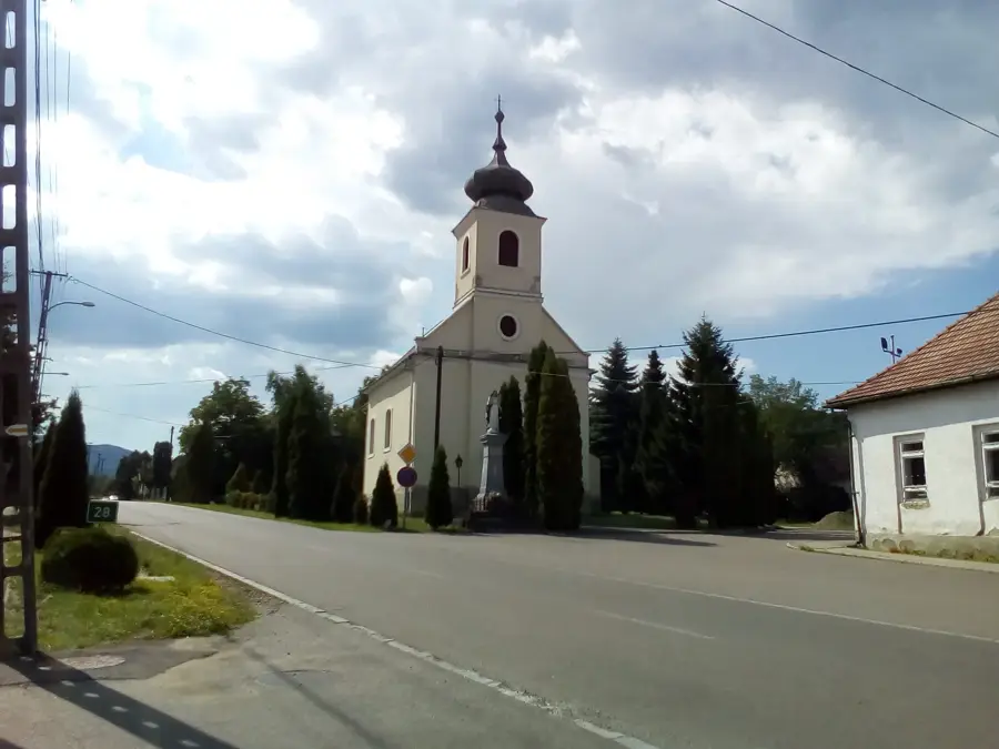
Sights nearby
💡 Tips
- Always bring an extra layer, the weather at the peak is often 5-8 degrees cooler than in the valley.
- Drive carefully as the winding mountain road can often be foggy.
- Visit the observation deck and cafe in the TV tower on clear days.
- Look for the marked stone painted in national colors for the classic peak photo.
🍽 Food
Warm up with hot chocolate or mulled wine at the TV tower cafe or nearby ski huts.
A filling potato dumpling dish with sheep cheese, served in the peak's traditional restaurants.
A classic choice to refuel after enjoying the crisp mountain air.
🛍 Shopping · 🧘 Quiet spots
Pick up a fridge magnet or postcard from Hungary's highest point at the peak stalls.
Small bottles of herbal bitters or fruit pálinka sold by vendors near the parking lot.
Walk a few hundred meters away from the peak on the marked blue trail to escape the crowds.
During summer, sit on the grassy slope overlooking the valley for a quiet panoramic rest.
Water temperature…
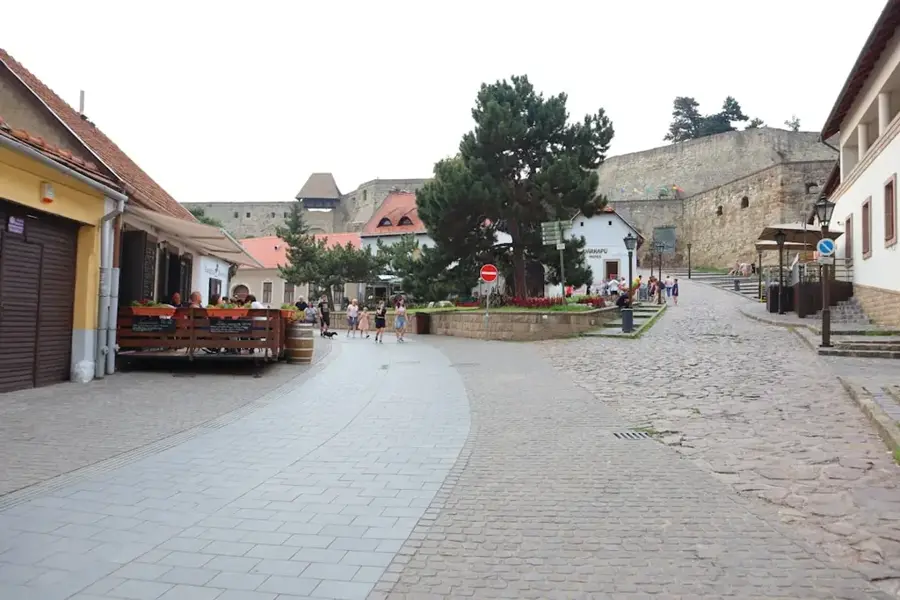
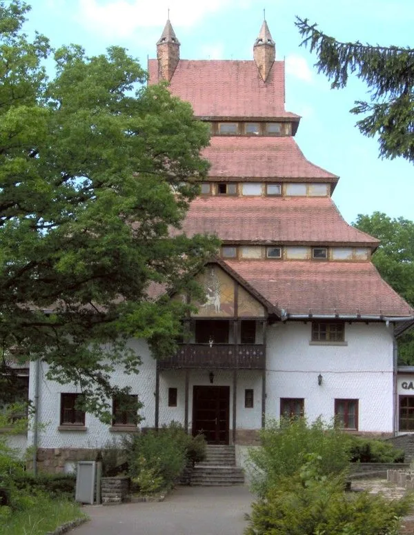
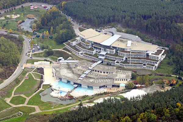
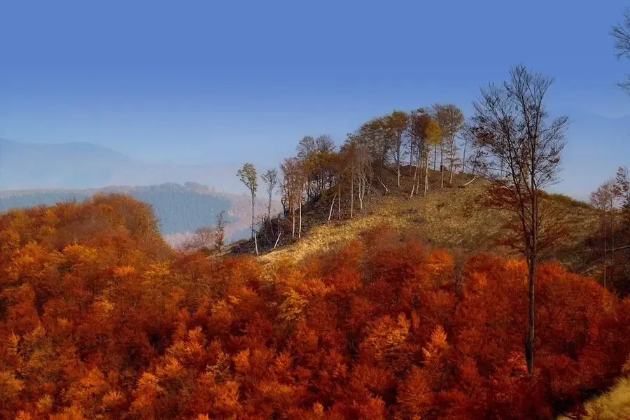
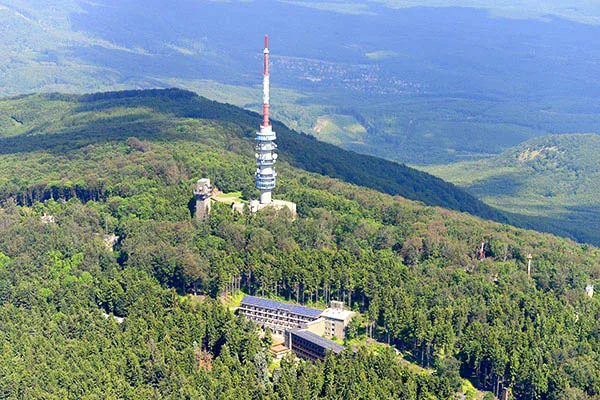
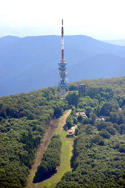
Kékestető is the highest peak in the Mátra Mountains and all of Hungary, reaching an elevation of 1014 meters. The summit is marked by a stone painted in the national colors, serving as a landmark for hikers and tourists. Due to its exceptionally clean air and unique microclimate, it is an officially designated climatic health resort and home to a specialized sanatorium for respiratory conditions. The most striking landmark is the 180-meter-tall TV tower, which features an indoor observation deck and a café. On clear days, the view stretches as far as the High Tatra Mountains to the north and far across the Great Hungarian Plain to the south. In winter, Kékestető transforms into a premier skiing destination, boasting the country's longest ski run (1.8 km), which winds down to Mátraháza. During summer, the peak is a hub for outdoor enthusiasts, with many hiking trails including the National Blue Trail (Kéktúra) passing through. The winding serpentines leading to the top are also popular among cyclists and motorcyclists. Dominated by ancient beech forests, the area provides a cool retreat from summer heat. Kékestető is easily accessible by car or direct bus service, offering a range of facilities for mountain visitors.
- Location: Heves, Hungary
- Top sights: Régi fahíd romjai · Naphimnusz park · Ski jump
- Nearby: Parádsasvár (4 km)
- Population: ~2.111
Best time to visit & climate
The most pleasant time to visit is Jun–Aug.
| Jan | Feb | Mar | Apr | May | Jun | Jul | Aug | Sep | Oct | Nov | Dec | |
|---|---|---|---|---|---|---|---|---|---|---|---|---|
| Avg °C | -3 | -1 | 4 | 11 | 16 | 19 | 22 | 21 | 16 | 10 | 4 | -1 |
| Rain mm | 41 | 44 | 44 | 43 | 75 | 80 | 83 | 67 | 58 | 56 | 49 | 47 |
Geography
Facts
- Highest point in Hungary (1014 m)
- 180-meter-tall TV tower
- Hungary's longest ski run (1.8 km)
- Official climatic health resort
- National summit stone marker
- Sanatorium for respiratory care
- Panoramic views to the Tatras
- Crossroad for the Blue Trail
Explore nearby
Notable places around
Route planner — Car & Motorhome
Where do you start? We build the route here, with stops and country notes along the way.
© OpenStreetMap contributors · OpenRouteService
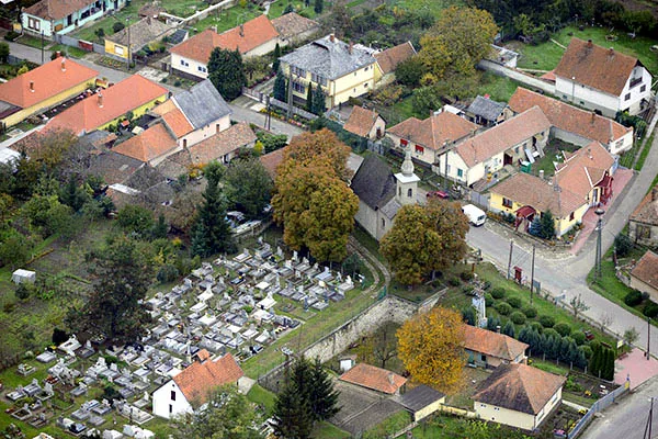
Sights in the town Kékestető (9)
Frequently asked questions
How can you get to Kékestető?
When is the best time to visit?
Can you visit the TV tower?
Are there local food specialties?
Is it a family-friendly destination?
Kékestető: where is it located?
Kékestető: what is there to see?
Kékestető: when is the best time to visit?
Kékestető: why is it worth visiting?

Nearby cities