Plizio Visual Lab
Sajo River

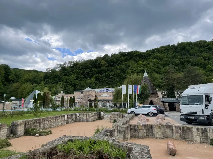
The Sajo River is a significant waterway in Central Europe, originating in the Stolica Mountains of Slovakia and flowing for approximately 229 kilometers before reaching its confluence with the Tisza River near Tiszaujvaros. Its drainage basin covers an area of roughly 12,700 square kilometers, making it a vital hydrological feature for both southern Slovakia and northern Hungary. Historically, the river is most notable for the Battle of Mohi in 1241, where the Hungarian forces were defeated by the invading Mongol Empire on its floodplains. During the 20th century, the Sajo valley became a major industrial corridor, particularly around the city of Miskolc, which led to substantial environmental stress from mining and heavy manufacturing. Today, ongoing rehabilitation projects focus on improving the river's water quality and preserving its natural riparian habitats. The Sajo remains a critical ecosystem supporting various protected fish species and serves as a primary drainage channel for the northern Hungarian highlands.
- Location: Hungary
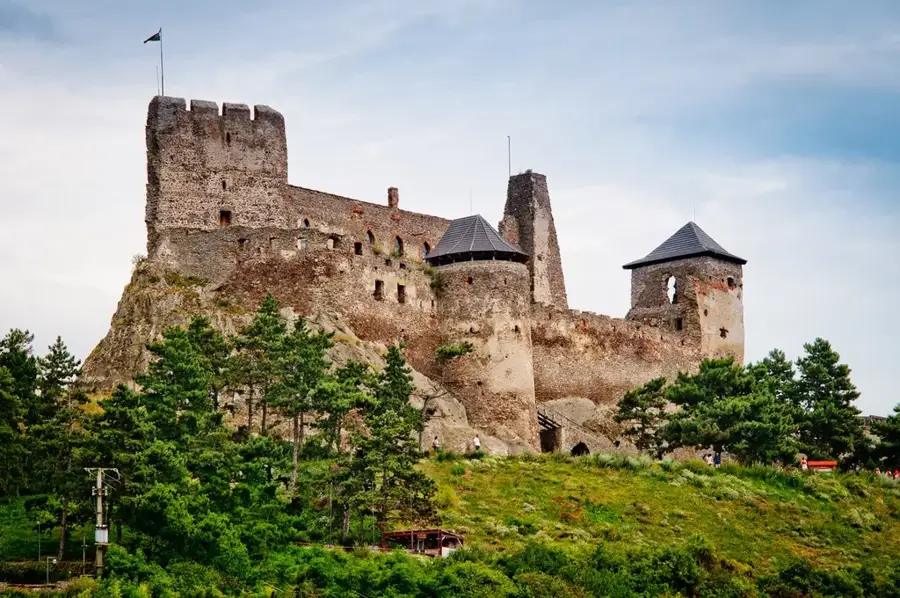
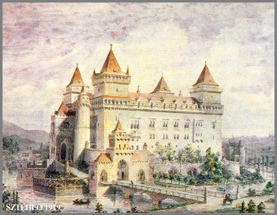
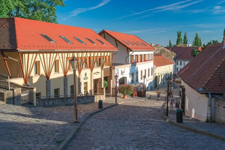
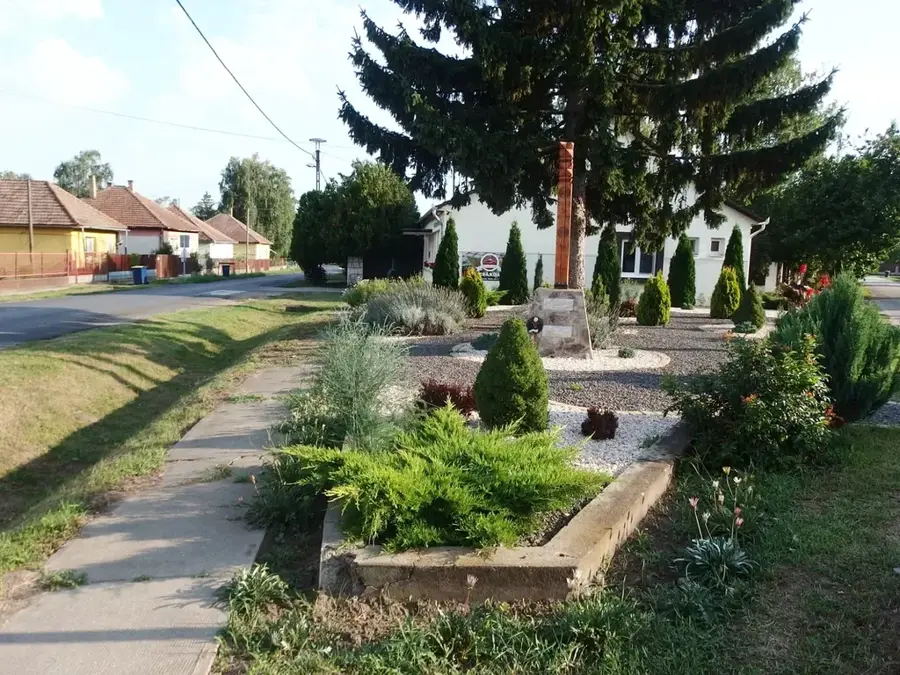
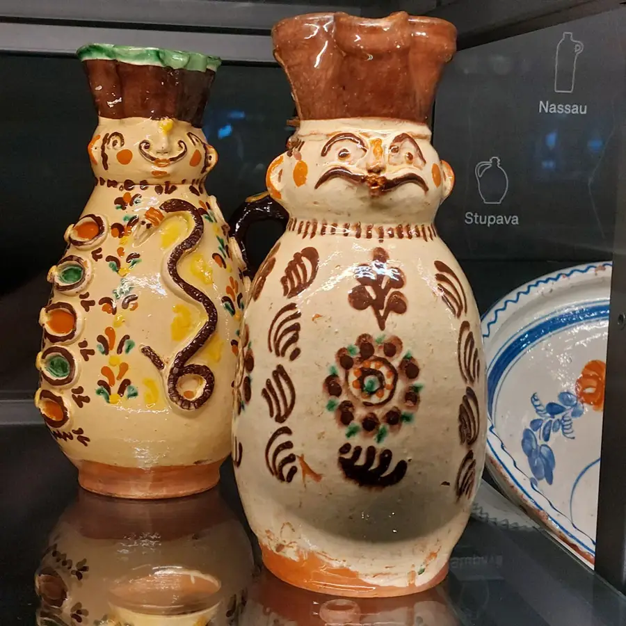
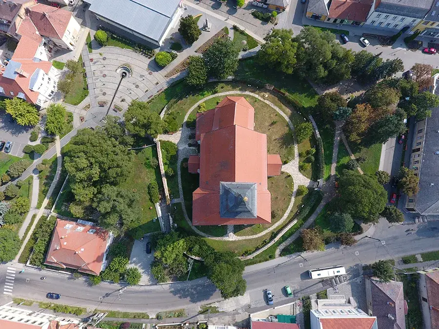
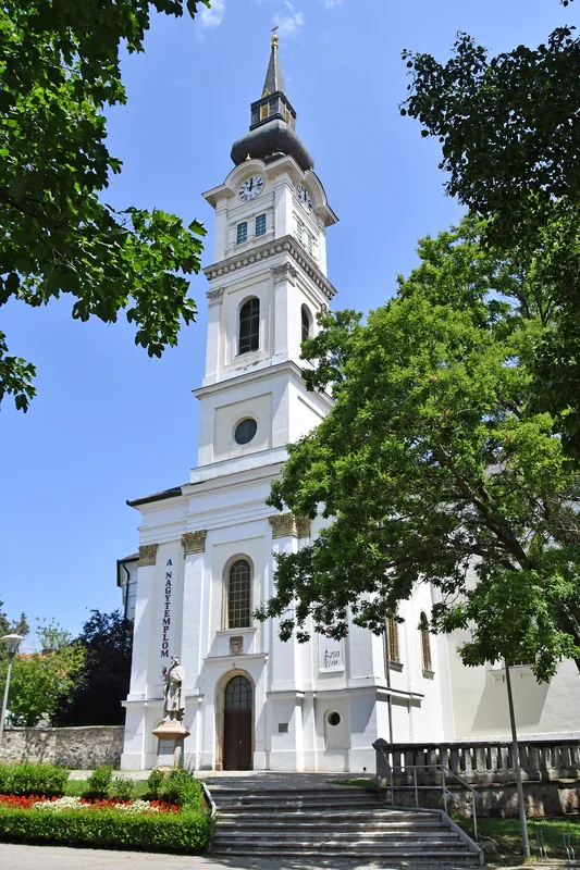
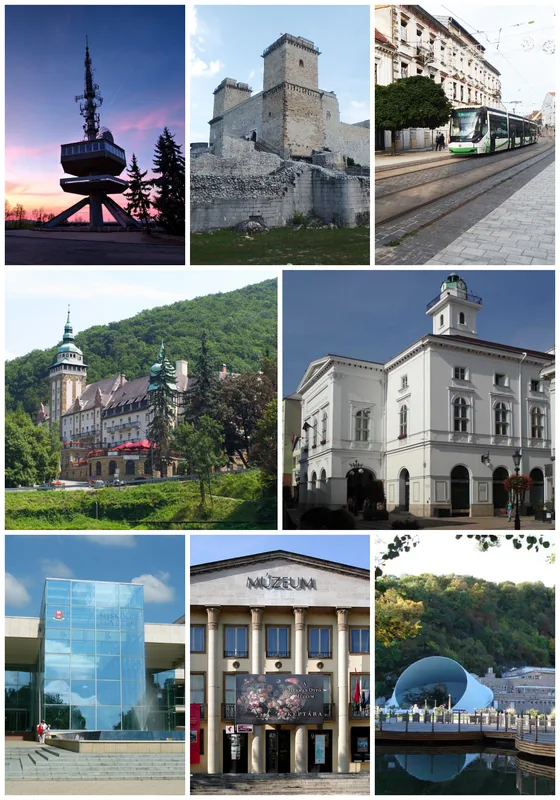
- Top sights: Melczer-kastély · Tájház · Ónodi vár
- Nearby: Újfehértó (62 km)
Best time to visit & climate
The most pleasant time to visit is Jun–Aug.
| Jan | Feb | Mar | Apr | May | Jun | Jul | Aug | Sep | Oct | Nov | Dec | |
|---|---|---|---|---|---|---|---|---|---|---|---|---|
| Avg °C | -2 | 0 | 5 | 12 | 17 | 21 | 23 | 23 | 17 | 11 | 5 | -1 |
| Rain mm | 35 | 36 | 38 | 39 | 67 | 75 | 79 | 56 | 51 | 49 | 43 | 43 |
📋 Practical info
Geography
Facts
- Total length of 229 kilometers.
- Drainage basin of 12,700 square km.
- Joins the Tisza near Tiszaujvaros.
- Site of the Battle of Mohi in 1241.
- The Hernad is its main tributary.
- Flows through the city of Miskolc.
Explore nearby
Notable places around
Route planner — Car & Motorhome
Where do you start? We build the route here, with stops and country notes along the way.
© OpenStreetMap contributors · OpenRouteService
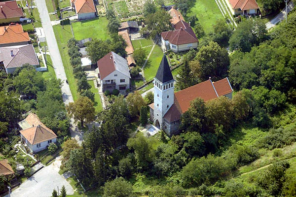
Sights in the town Sajo River (5)
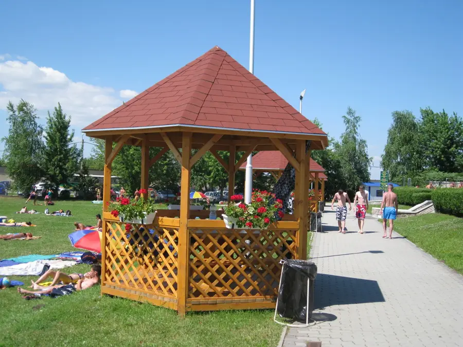
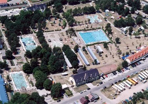
Muhi strand
Beach in Hungary.
Sights nearby
Frequently asked questions
Is swimming allowed in the Sajó river?
Are canoe trips possible on the river?
What fish species can be caught here?
Where does the Sajó river originate?
Are there bicycle paths along the river?
Sajo River: where is it located?
Sajo River: what is there to see?
Sajo River: when is the best time to visit?
Sajo River: why is it worth visiting?

Nearby cities

History & landmarks
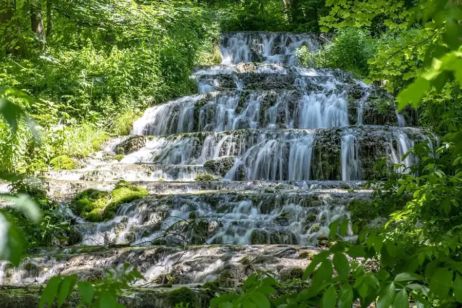
Nature
More places