Plizio Visual Lab
Kapos Mouth
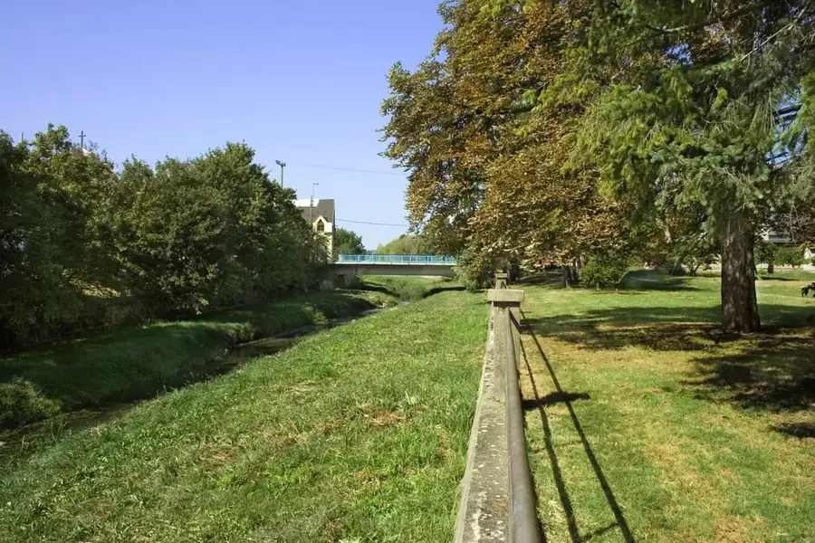
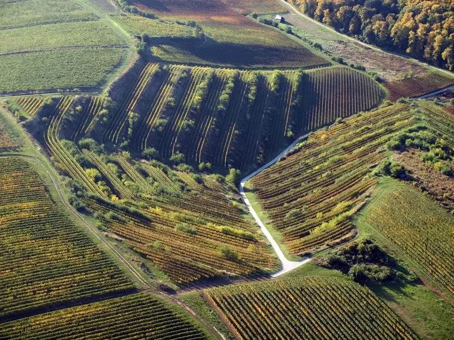
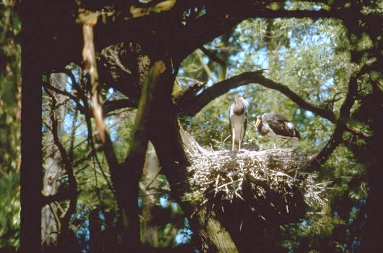
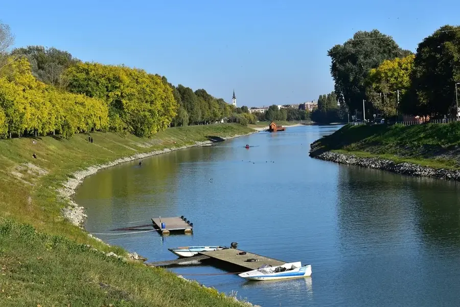
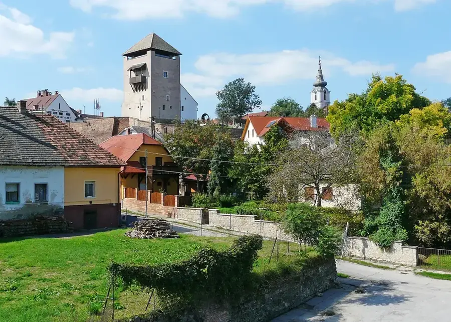
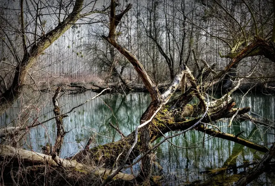
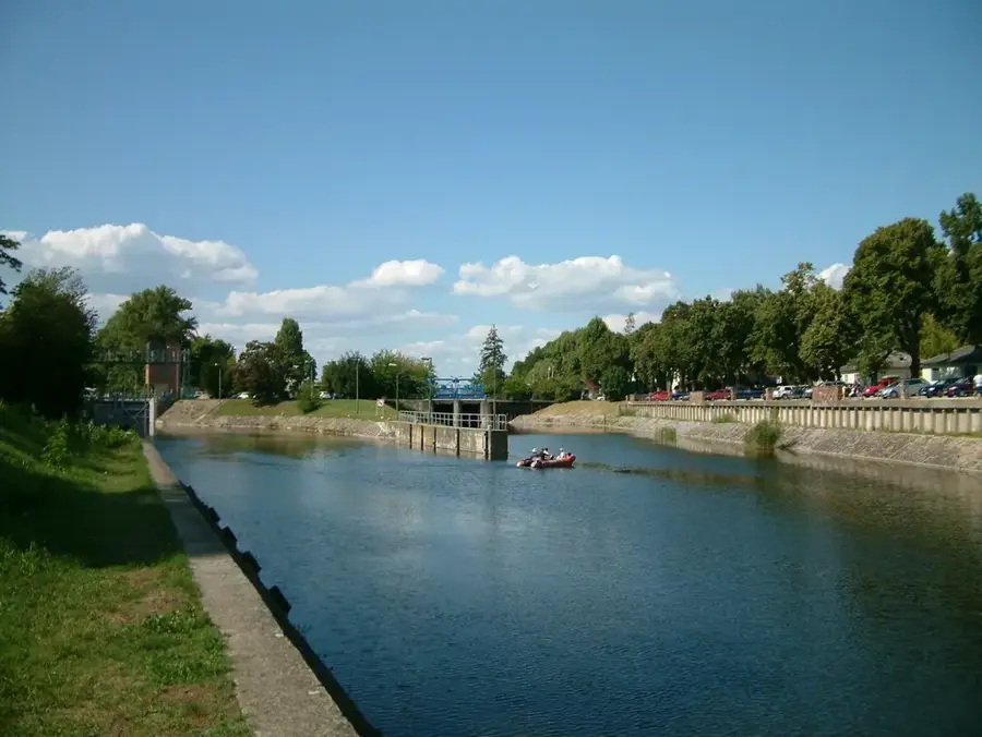
The mouth of the Kapos River, where it joins the Sió Canal, is a significant hydrological junction in Hungary's water management network. The Kapos River drains a large portion of Southern Transdanubia before merging into the Sió, which acts as the controlled outlet for Lake Balaton into the Danube. The confluence area is characterized by flat floodplain landscapes that serve as natural reservoirs during high water periods. Historically, this region underwent massive transformation in the 19th century through engineering projects designed to enable navigation on the Sió and to reclaim marshy lands for agriculture. Ecologically, the area around the mouth provides vital migratory corridors for fish and nesting grounds for various aquatic birds. The water flow of the Kapos significantly influences the water quality of the lower Sió section. For local communities and nature enthusiasts, the river mouth remains a quiet spot for fishing and observation, offering a glimpse into the intricate water systems of the Hungarian plains.
- Location: Hungary
- Nearby: Tamási (45 km)
Best time to visit & climate
The most pleasant time to visit is Jun–Aug.
| Jan | Feb | Mar | Apr | May | Jun | Jul | Aug | Sep | Oct | Nov | Dec | |
|---|---|---|---|---|---|---|---|---|---|---|---|---|
| Avg °C | -1 | 1 | 6 | 12 | 17 | 21 | 24 | 23 | 18 | 12 | 6 | 0 |
| Rain mm | 38 | 44 | 40 | 37 | 68 | 71 | 61 | 59 | 62 | 54 | 44 | 44 |
📋 Practical info
Geography
Facts
- The Kapos River spans a total length of 113 kilometers.
- It flows into the Sió Canal near the village of Pincehely.
- The Sió Canal links Lake Balaton directly to the Danube River.
- Major river regulations in the area date back to the 1860s.
- The confluence is a strategic point for regional water flow monitoring.
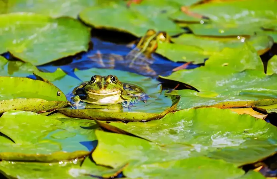
- The area supports a diverse population of freshwater fish species.
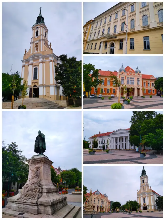
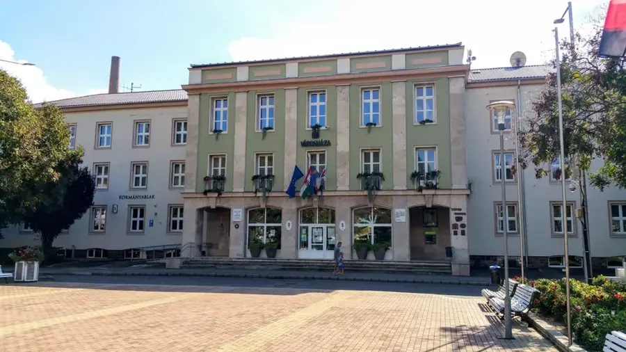
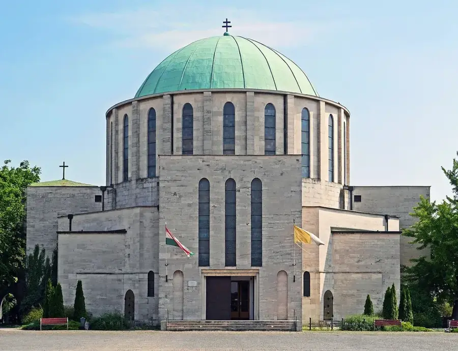
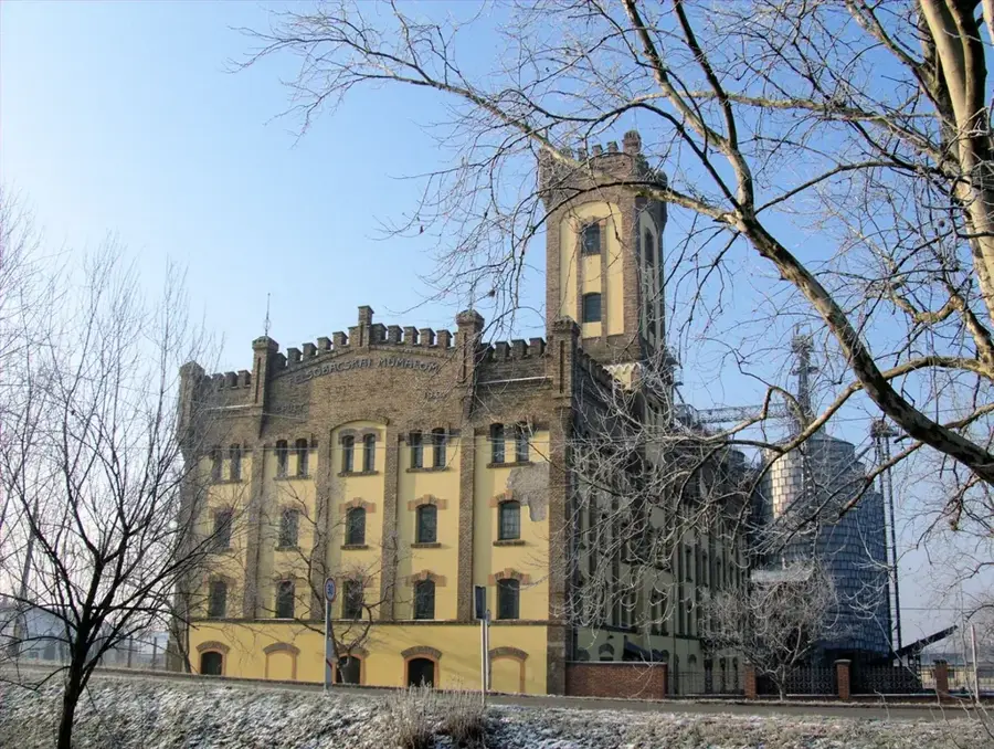
Explore nearby
Notable places around
Route planner — Car & Motorhome
Where do you start? We build the route here, with stops and country notes along the way.
© OpenStreetMap contributors · OpenRouteService
Sights nearby
Frequently asked questions
Where is the Kapos confluence located?
Is fishing allowed here?
What wildlife can be observed here?
Are there designated hiking trails?
When is the best time to visit?
Kapos Mouth: where is it located?
Kapos Mouth: when is the best time to visit?
Kapos Mouth: why is it worth visiting?

Nearby cities

History & landmarks

Nature
More places