Plizio Visual Lab
Pomeroon River

Weather…
Water temperature…
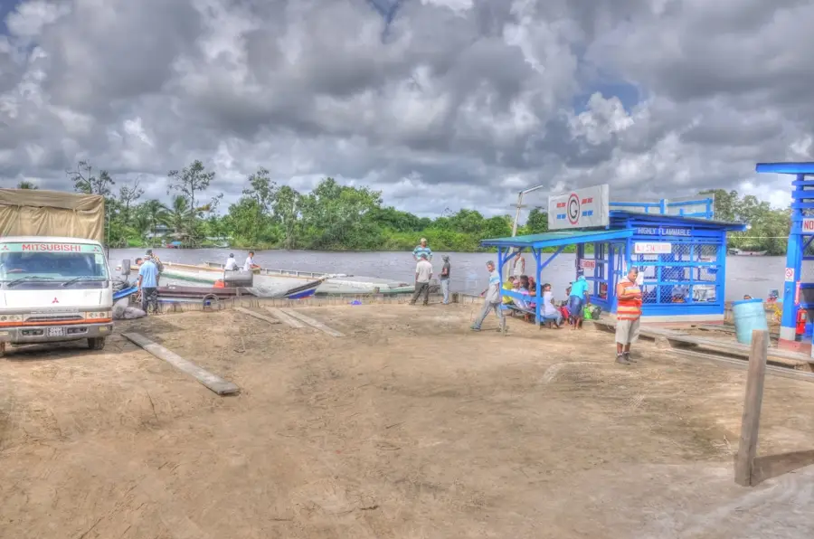
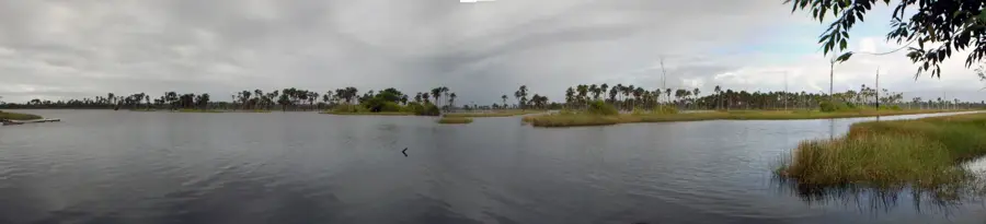
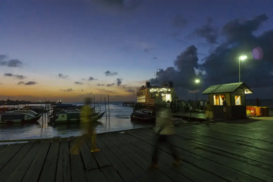
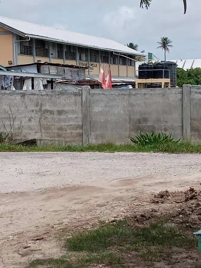
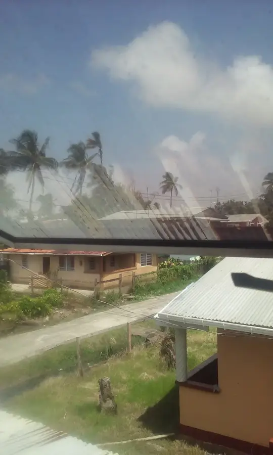
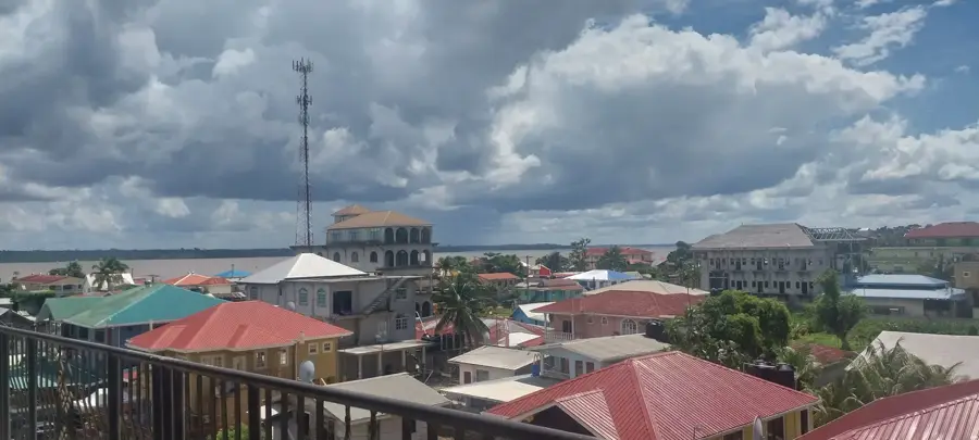
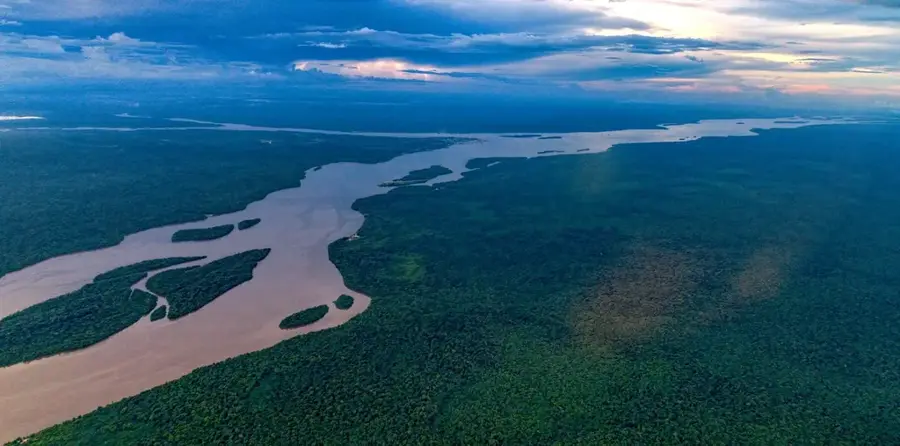
The Pomeroon River is one of Guyana's most historically significant and agriculturally productive waterways, situated between the Orinoco and Essequibo rivers. First settled by the Dutch in the mid-1600s, it became a hub for early colonial plantations due to its exceptionally fertile silt banks. Today, the Pomeroon remains the heart of Guyana's coconut, citrus, and coffee industries, with the bustling market town of Charity serving as its primary commercial hub. The river flows for about 110 kilometers through a landscape characterized by peat-stained 'blackwater,' a result of tannins leaching from the surrounding tropical vegetation. Communities along the Pomeroon are uniquely adapted to riverine life, with most homes built on stilts to manage fluctuating water levels and boat transport being the only mode of movement. The area is also known for its historical ruins, including the sites of early Dutch forts and estates hidden within the lush overgrowth. With its blend of colonial heritage and animated modern river culture, the Pomeroon is a vital artery of Guyana's coastal and interior economy.
- Location: Guyana
- Nearby: Charity (20 km)
Best time to visit & climate
The most pleasant time to visit is Feb, Mar, Sep.
| Jan | Feb | Mar | Apr | May | Jun | Jul | Aug | Sep | Oct | Nov | Dec | |
|---|---|---|---|---|---|---|---|---|---|---|---|---|
| Avg °C | 26 | 26 | 26 | 27 | 27 | 27 | 27 | 27 | 27 | 27 | 27 | 27 |
| Rain mm | 178 | 117 | 89 | 141 | 313 | 315 | 279 | 177 | 106 | 105 | 197 | 260 |
📋 Practical info
Geography
Facts
- The river has a total length of approximately 110 kilometers.
- Dutch settlers established the colony of Pomeroon in 1658.
- Charity is the main hub for farmers to sell their produce to Georgetown markets.
- The river is a prime example of a tropical blackwater ecosystem.
- It was historically contested by the Spanish from nearby Venezuela.
- The Pomeroon is home to diverse birdlife, including the scarlet ibis.
Explore nearby
Notable places around
Route planner — Car & Motorhome
Where do you start? We build the route here, with stops and country notes along the way.
© OpenStreetMap contributors · OpenRouteService
Sights in the town Pomeroon River (1)
Sights nearby
Frequently asked questions
What is the Pomeroon River known for?
How do people move around there?
Is there tourist accommodation?
What is the most important place on the river?
When is the market in Charity?
Pomeroon River: where is it located?
Pomeroon River: when is the best time to visit?
Pomeroon River: why is it worth visiting?

Nearby cities
History & landmarks
Nature
More places