Plizio Visual Lab
Demerara Harbour Bridge
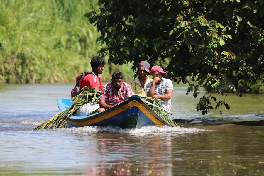
The Demerara Harbour Bridge is one of the longest floating bridges in the world and a vital transportation artery in Guyana. It connects the capital, Georgetown, on the east bank of the Demerara River to the West Demerara region on the west bank. Opened in 1978, the bridge stretches over a length of approximately two kilometers and consists of a series of steel deck sections supported by pontoons. A key engineering feature is its retractable span, which opens to allow large ocean-going vessels to pass through to upstream locations. Thousands of vehicles cross the bridge daily, making it a critical link for commercial goods and daily commuters. Although the bridge was originally designed for a 10-year lifespan, it has remained in service through rigorous continuous maintenance and monitoring. Despite ongoing plans for a new permanent fixed-span bridge, the Demerara Harbour Bridge remains an impressive engineering stopgap that has enabled the economic integration of Guyana's western regions.
- Location: Guyana
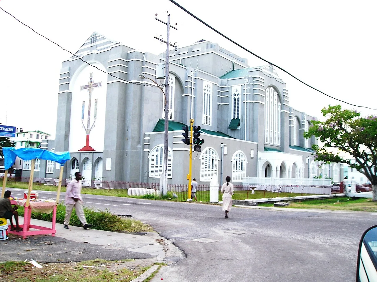
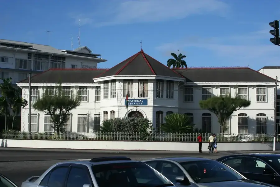
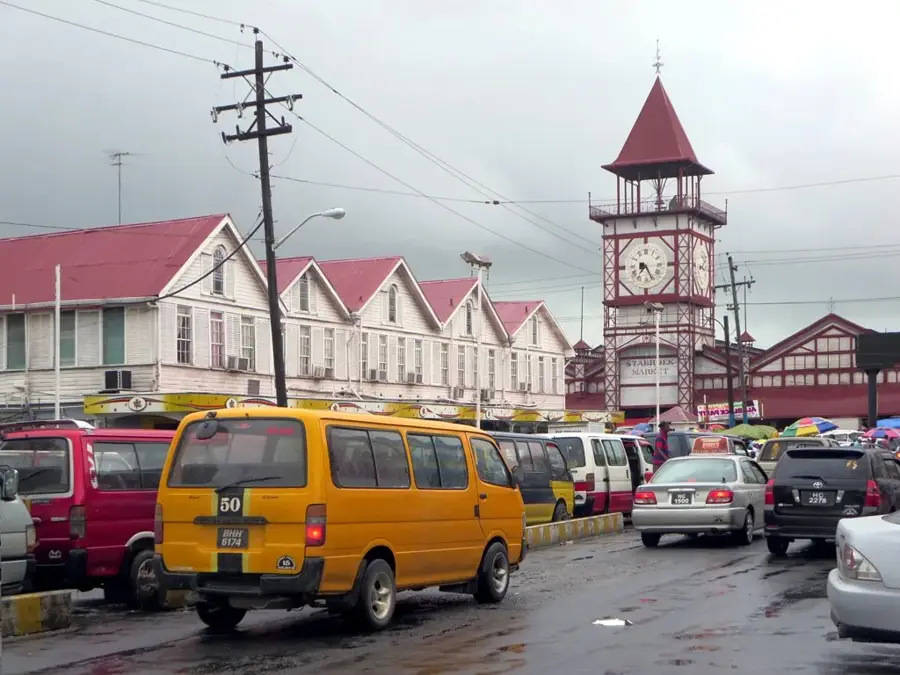
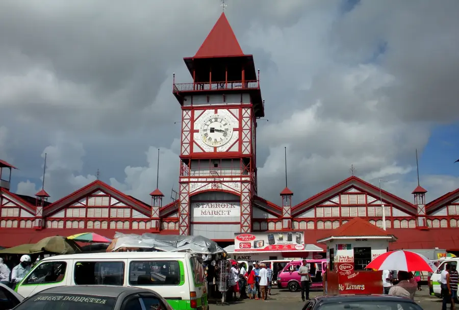
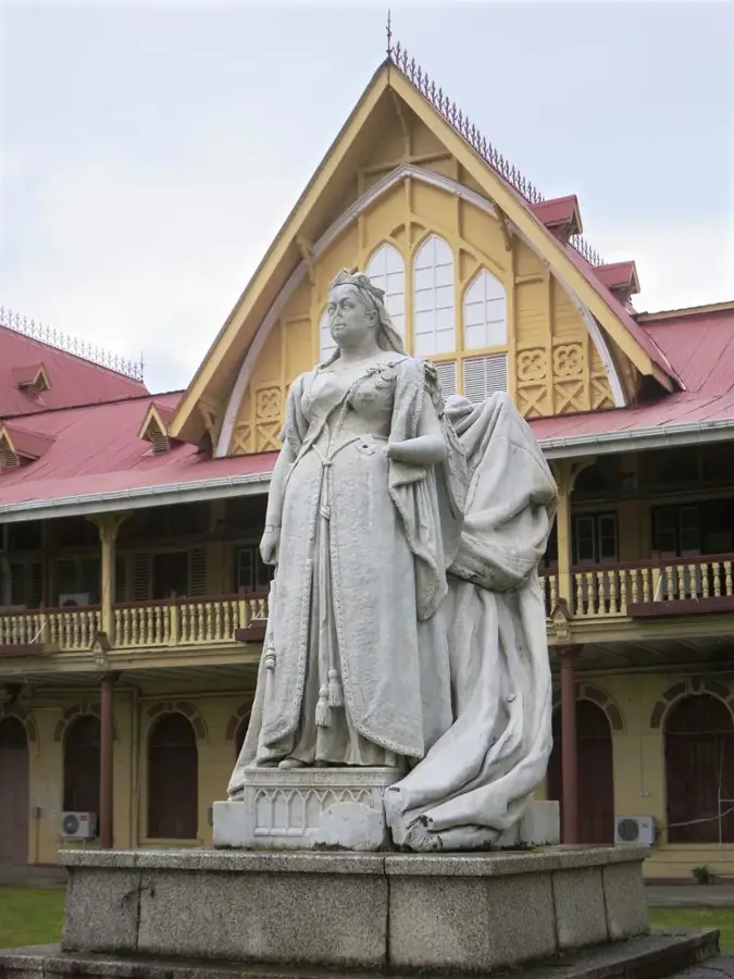
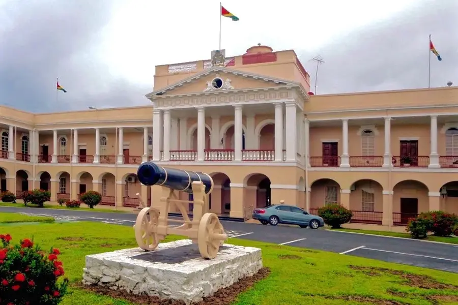
- Top sights: new line taxi · Independence Arch · St.Peter and St. Paul Roman Catholic Church
- Nearby: Wales (5 km)
Best time to visit & climate
The most pleasant time to visit is Feb, Mar, Sep.
| Jan | Feb | Mar | Apr | May | Jun | Jul | Aug | Sep | Oct | Nov | Dec | |
|---|---|---|---|---|---|---|---|---|---|---|---|---|
| Avg °C | 26 | 26 | 27 | 27 | 27 | 27 | 27 | 27 | 28 | 28 | 28 | 27 |
| Rain mm | 181 | 117 | 94 | 144 | 315 | 314 | 302 | 193 | 102 | 103 | 181 | 257 |
📋 Practical info
Geography
Facts
- The bridge was officially opened to traffic on July 2, 1978.
- It spans a total length of 1,851 meters (1.15 miles).
- The structure consists of 61 spans supported by floating pontoons.
- A retractable span allows for the passage of large maritime vessels.
- It is subject to strict tidal opening schedules for river traffic.
- The bridge was constructed by the British firm Mabey & Johnson.
Explore nearby
Notable places around
Route planner — Car & Motorhome
Where do you start? We build the route here, with stops and country notes along the way.
© OpenStreetMap contributors · OpenRouteService
Sights in the town Demerara Harbour Bridge (3)
Sights nearby
Frequently asked questions
How long is the Demerara Harbour Bridge?
Is there a toll for the bridge?
Does the bridge open for ships?
Which places does the bridge connect?
When was the bridge opened?
Demerara Harbour Bridge: where is it located?
Demerara Harbour Bridge: what is there to see?
Demerara Harbour Bridge: when is the best time to visit?
Demerara Harbour Bridge: why is it worth visiting?

Nearby cities


History & landmarks
More places