Plizio Visual Lab
Leguan Island
Weather…
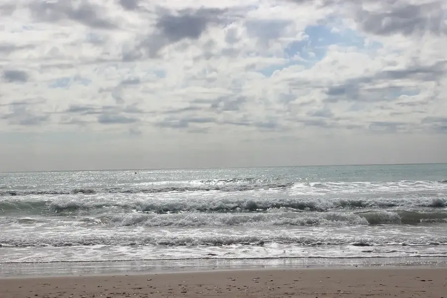
Water temperature…
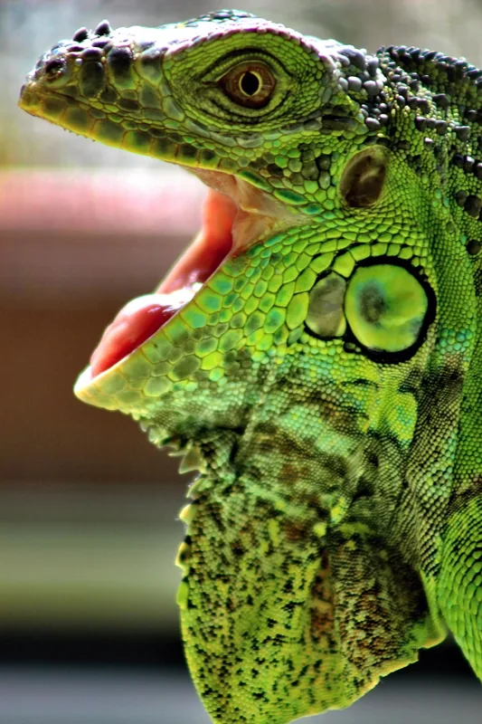
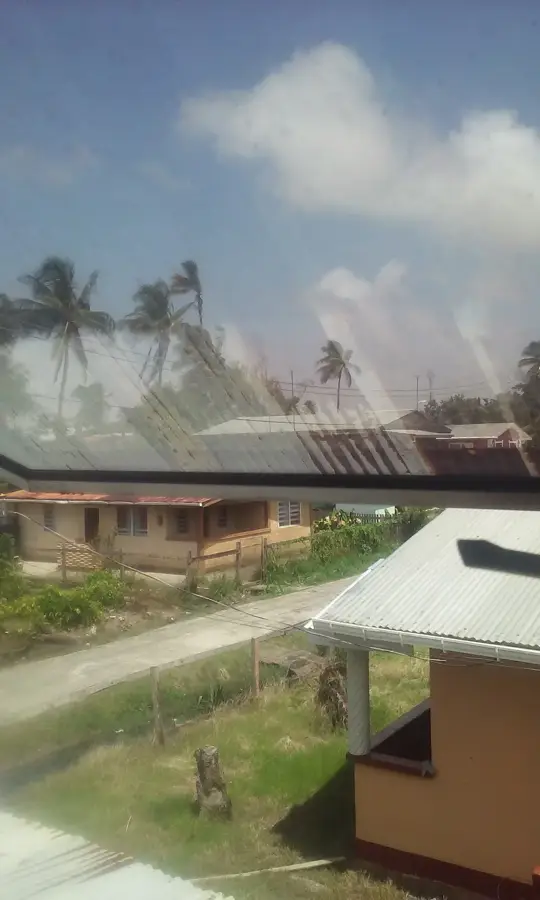
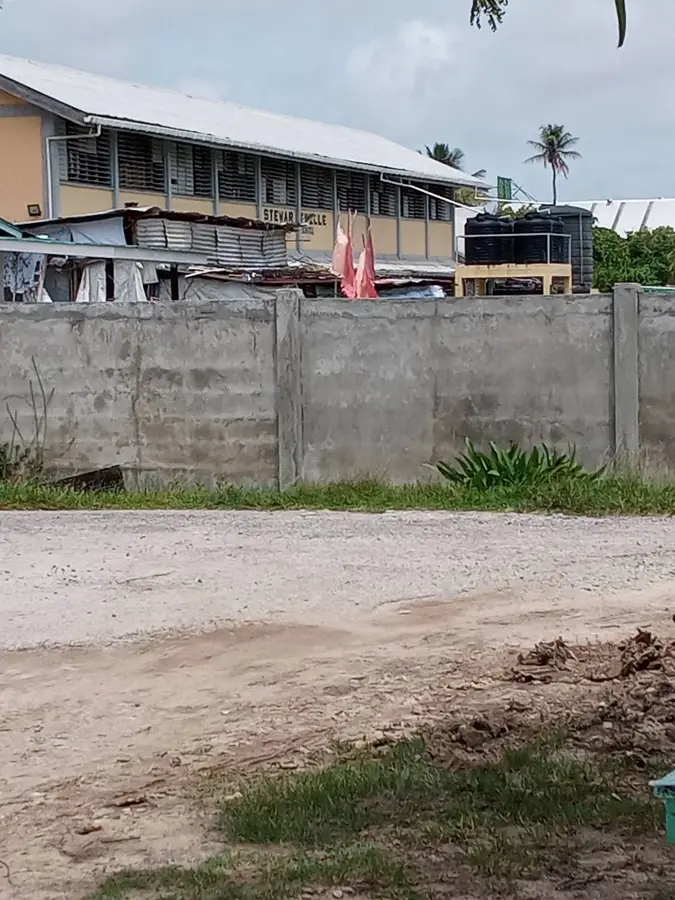
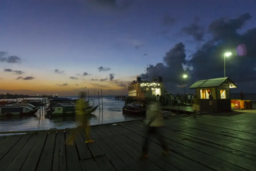
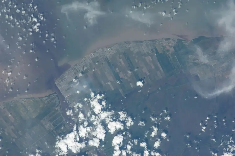
Leguan Island is located in the mouth of the Essequibo River, covering an area of roughly 31 square kilometers. Its name is derived from the Dutch word for 'iguana', reflecting the abundance of these reptiles encountered by early Dutch settlers. The island's geography is characterized by low-lying, fertile alluvial soil, which has made it a premier location for rice farming and cattle ranching. Enterprise serves as the island's administrative center and primary port of entry via the local stelling. Leguan is home to a diverse population that maintains a strong sense of community and traditional agricultural practices. An asphalt road encircles much of the island, connecting various farming villages and hamlets. To combat the threat of rising sea levels and high tides, the island is protected by a series of sea walls. Like neighboring Wakenaam, Leguan is accessible only by boat or ferry from Parika, ensuring its relative isolation from the rapid urban development of the mainland.
- Location: Guyana
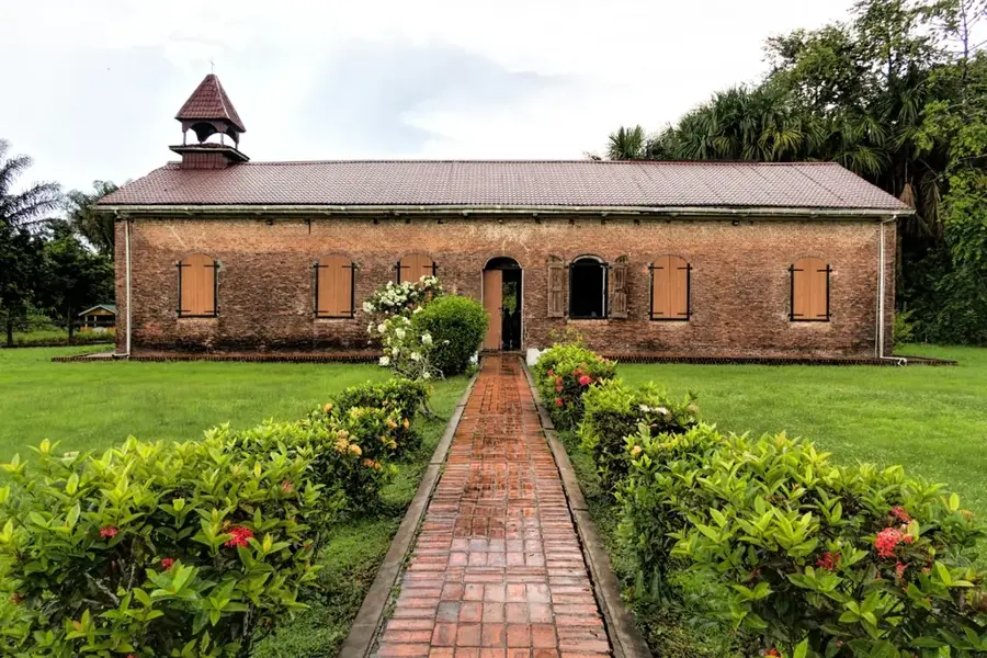
- Top sights: Start · Kaashi Dhaam · Hanuman Statue
- Nearby: Nismes (4 km)
Best time to visit & climate
The most pleasant time to visit is Feb, Mar, Sep.
| Jan | Feb | Mar | Apr | May | Jun | Jul | Aug | Sep | Oct | Nov | Dec | |
|---|---|---|---|---|---|---|---|---|---|---|---|---|
| Avg °C | 25 | 25 | 26 | 27 | 26 | 26 | 26 | 26 | 27 | 27 | 26 | 26 |
| Rain mm | 184 | 117 | 93 | 145 | 317 | 319 | 308 | 198 | 105 | 108 | 182 | 258 |
📋 Practical info
Geography
Facts
- Named after the Dutch word for iguana
- Area of approximately 31 square kilometers
- Administrative center located in Enterprise
- Major producer of rice and livestock
- Accessible by ferry from Parika
- Protected by extensive coastal sea walls
Explore nearby
Notable places around
Route planner — Car & Motorhome
Where do you start? We build the route here, with stops and country notes along the way.
© OpenStreetMap contributors · OpenRouteService
Sights in the town Leguan Island (4)
Sights nearby
Frequently asked questions
Are there many iguanas on Leguan?
What is the landmark of the island?
How do you get to Leguan?
Is the island safe?
Are there beaches there?
Leguan Island: where is it located?
Leguan Island: what is there to see?
Leguan Island: when is the best time to visit?
Leguan Island: why is it worth visiting?

Nearby cities


History & landmarks
More places