Plizio Visual Lab
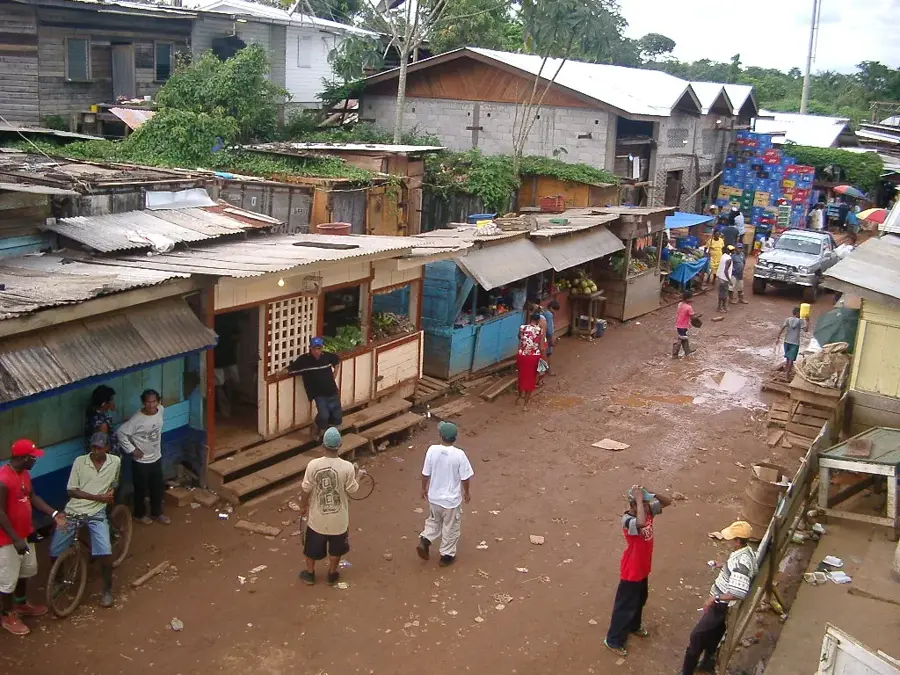
Imataka Mountains

Weather…
Water temperature…
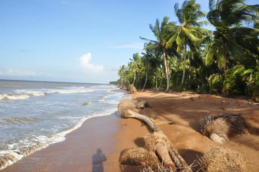
The Imataka Mountains are a significant geological formation in the northwestern part of the Guiana Shield, extending across the border between Venezuela and Guyana. This mountain range is primarily composed of ancient Precambrian rocks, dating back over two billion years, and is renowned for its vast mineral wealth. The region houses some of the world's largest deposits of iron ore, along with significant occurrences of manganese and gold. The topography is characterized by rolling hills and low mountain ridges, with elevations generally ranging between 200 and 500 meters above sea level. These mountains serve as a crucial watershed for numerous rivers that flow into the Atlantic Ocean, including tributaries of the Cuyuni River. The dense tropical rainforests covering the mountains support an extraordinary biodiversity and are of central importance for regional environmental conservation. Historically, the Imataka Mountains have been a focal point for geological exploration and mining activities since the late 19th century, continuing to shape the economic landscape of the surrounding territories.
- Location: Guyana
- Nearby: Matthews Ridge (37 km)
Best time to visit & climate
The most pleasant time to visit is Jan–Mar.
| Jan | Feb | Mar | Apr | May | Jun | Jul | Aug | Sep | Oct | Nov | Dec | |
|---|---|---|---|---|---|---|---|---|---|---|---|---|
| Avg °C | 25 | 26 | 27 | 28 | 26 | 25 | 25 | 25 | 26 | 26 | 26 | 25 |
| Rain mm | 102 | 65 | 50 | 81 | 202 | 250 | 223 | 179 | 102 | 110 | 149 | 163 |
📋 Practical info
Geography
Facts
- The mountains are part of the Guiana Shield, dating back over 2 billion years.
- Some peaks reach a maximum elevation of approximately 500 meters.
- The region hosts one of South America's largest deposits of iron ore.
- The range forms a natural watershed between the Amazon and Orinoco basins.
- Mining activities in the area began as early as the 1880s.
- The average temperature in the region remains constant at about 26 to 28 degrees Celsius.
Explore nearby
Notable places around
Route planner — Car & Motorhome
Where do you start? We build the route here, with stops and country notes along the way.
© OpenStreetMap contributors · OpenRouteService
Sights nearby
Frequently asked questions
Where do the Imataka Mountains stretch?
What is mined there?
What does the landscape look like?
Are there national parks there?
What birds can be seen there?
Imataka Mountains: where is it located?
Imataka Mountains: when is the best time to visit?
Imataka Mountains: why is it worth visiting?

Nearby cities

Nature
More places