Plizio Visual Lab
Morawhanna

ℹ️Practical info — Morawhanna
▾
🌤 Weather — 5 days
📍 Nearby
Sights nearby
💡 Tips
- Bring plenty of cash as there are no ATMs in the area.
- The best way to arrive and depart is by boat on the Barima River.
- Always wear insect repellent and light, long-sleeved clothing.
- Negotiate boat prices before your departure.
🍽 Food
Try this traditional meat stew at the local food stalls near the boat dock.
A local flatbread good as a side dish, often found fresh at the market.
Ask for the catch of the day at the small local inns, often fresh from the river.
🛍 Shopping · 🧘 Quiet spots
Visit the vendors right by the water for fresh fruit and basic supplies.
Look out for traditional woven goods made by indigenous communities.
Watch the passing boats in a calm atmosphere at sunrise.
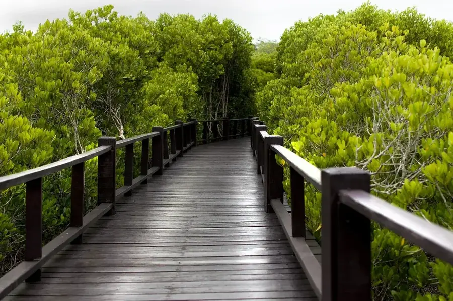
Take a relaxing walk away from the main paths.
Water temperature…
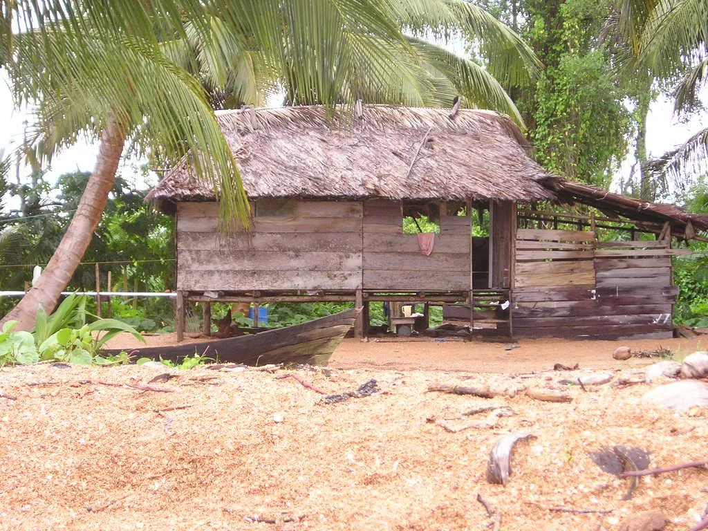
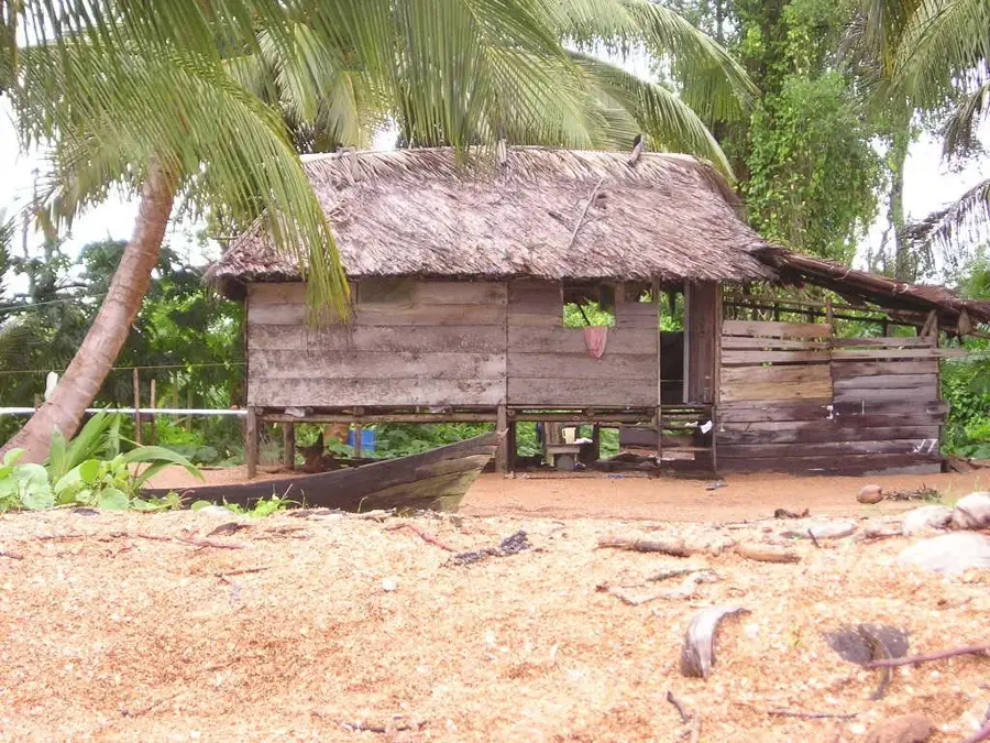
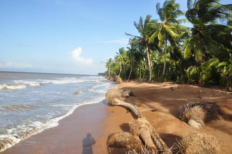
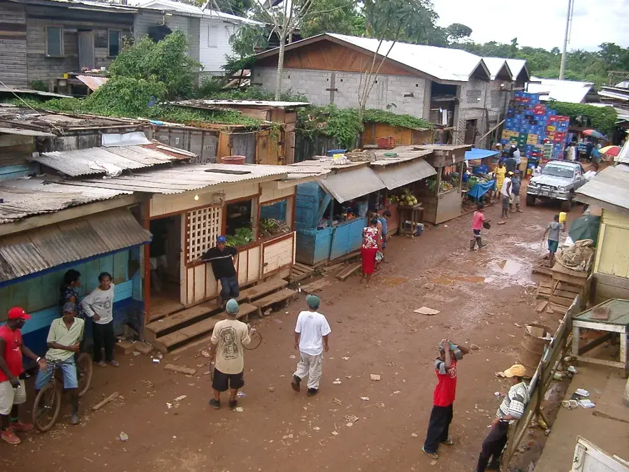
Morawhanna is a small settlement and vital river port in the Barima-Waini region of northwestern Guyana, situated near the border with Venezuela. Located on the Barima River, the village has historically functioned as a significant trading post for agricultural produce from the surrounding riverine areas. Due to its very low elevation, Morawhanna is prone to regular flooding, which has historically challenged the development of permanent infrastructure and housing. The population primarily consists of Indigenous and Afro-Guyanese people who rely on fishing and small-scale river trade for their livelihoods. Morawhanna once served as the administrative headquarters for the North West District before the regional administration was moved to the higher ground of Mabaruma. Despite its geographical vulnerabilities, the port remains a crucial link for goods transported between Georgetown and the remote border communities. Its strategic location at the confluence of several waterways ensures its continued relevance as a logistical hub in Region 1.
- Location: Guyana
- Nearby: Kumaka (6 km)
Best time to visit & climate
The most pleasant time to visit is Feb–Apr.
| Jan | Feb | Mar | Apr | May | Jun | Jul | Aug | Sep | Oct | Nov | Dec | |
|---|---|---|---|---|---|---|---|---|---|---|---|---|
| Avg °C | 26 | 26 | 27 | 27 | 27 | 27 | 27 | 27 | 27 | 27 | 27 | 26 |
| Rain mm | 122 | 75 | 57 | 85 | 208 | 262 | 245 | 191 | 120 | 137 | 199 | 209 |
Geography
Facts
- Morawhanna is located at an elevation of only 5 feet (1.5 meters) above sea level.
- The settlement is a key entry point for river traffic in Region 1.
- Flood defense structures include a system of dams and kokers (sluices).
- It was the original administrative capital of the North West District.
- The proximity to the Orinoco Delta makes it a strategic border location.
- Small-scale farming in the area focuses on citrus and ground provisions.
Explore nearby
Notable places around
Route planner — Car & Motorhome
Where do you start? We build the route here, with stops and country notes along the way.
© OpenStreetMap contributors · OpenRouteService
Frequently asked questions
Where is Morawhanna located?
Is the place safe for tourists?
What is the issue with the terrain?
How do people get around there?
Are there hotels there?
Morawhanna: where is it located?
Morawhanna: when is the best time to visit?
Morawhanna: why is it worth visiting?

Nearby cities

Nature
More places