Plizio Visual Lab
Amakura River

Weather…
Water temperature…
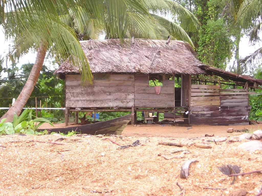
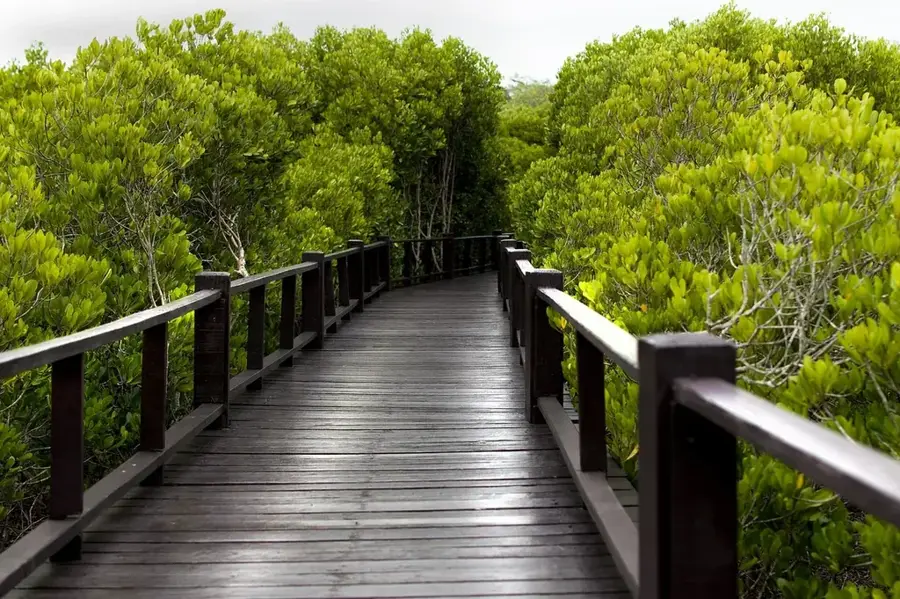
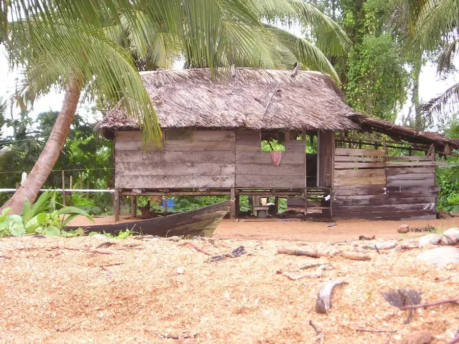
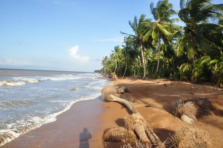
The Amakura River marks a portion of the northern international boundary between Guyana and Venezuela, flowing through the Barima-Waini region. It originates in the highlands of Guyana and meanders through dense, untouched tropical rainforests before emptying into the Atlantic Ocean. The river is geographically significant as its course was established as the border line under the 1899 Paris Arbitral Award, an agreement that remains the foundation of Guyana's territorial integrity today. The ecosystem along the Amakura is characterized by vast mangrove swamps at its mouth and a rich aquatic fauna further inland. Indigenous Warrau communities predominantly inhabit the region, utilizing the river for subsistence fishing and local trade. Due to its remote location, the river remains largely spared from large-scale industrial development, making it an important sanctuary for endangered species. Navigation on the Amakura requires significant expertise due to tidal fluctuations and sandbars at the mouth. It stands as a symbol of the complex frontier history and ecological richness of northwestern Guyana.
- Location: Guyana
- Nearby: Morawhanna (28 km)
Best time to visit & climate
The most pleasant time to visit is Feb, Mar, Sep.
| Jan | Feb | Mar | Apr | May | Jun | Jul | Aug | Sep | Oct | Nov | Dec | |
|---|---|---|---|---|---|---|---|---|---|---|---|---|
| Avg °C | 25 | 25 | 26 | 27 | 26 | 26 | 25 | 26 | 26 | 26 | 26 | 25 |
| Rain mm | 132 | 86 | 63 | 95 | 229 | 254 | 238 | 174 | 102 | 112 | 174 | 207 |
📋 Practical info
Geography
Facts
- The river acts as a natural border between Guyana and Venezuela.
- Its boundary status was formally defined by the 1899 Arbitral Award.
- The Amakura empties into the Atlantic Ocean near the Orinoco Delta.
- The surrounding area is a traditional homeland for the Warrau people.
- The riverbanks host diverse tropical flora, including rare orchids.
- Tidal influences are significant for navigation near the river's mouth.
Explore nearby
Notable places around
Route planner — Car & Motorhome
Where do you start? We build the route here, with stops and country notes along the way.
© OpenStreetMap contributors · OpenRouteService
Sights nearby
Frequently asked questions
Where is the Amakura River located?
What is the terrain like there?
Is the area inhabited?
Can you navigate the river?
What animals are there?
Amakura River: where is it located?
Amakura River: when is the best time to visit?
Amakura River: why is it worth visiting?

Nearby cities

Nature
More places