Plizio Visual Lab
Mabaruma
ℹ️Practical info — Mabaruma
▾
🌤 Weather — 5 days
📍 Nearby
Sights nearby
💡 Tips
- Access is primarily by plane from Georgetown or via river ferry. Prepare for limited schedules.
- Bring sufficient cash in Guyanese dollars, as ATMs and card payments are rare in the region.
- Protect yourself against mosquitoes with strong repellent, as this is a tropical rainforest area.
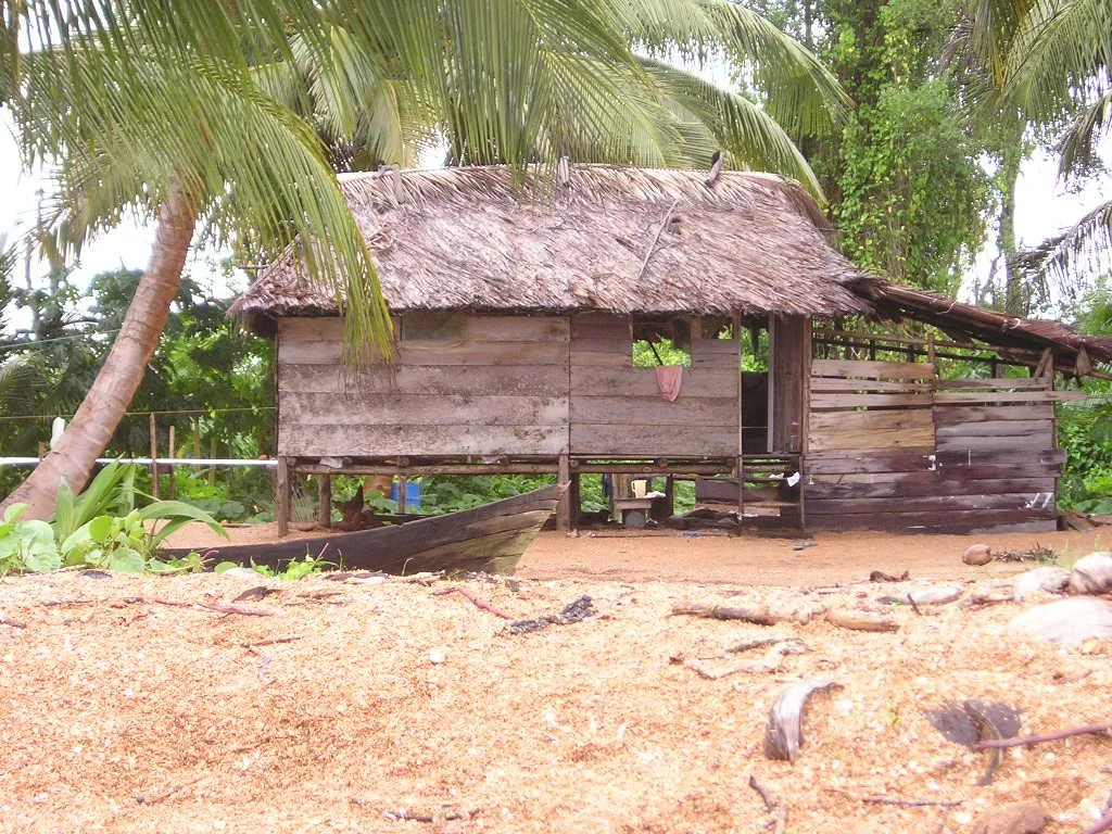
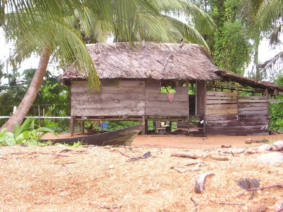
- Visit the Mabaruma Settlement to see the oldest rubber trees in the region, a remnant of historic plantations.
🍽 Food
Try local eateries near the market for authentic Indigenous and Guyanese flavors of this meat stew.
Widely available from local vendors; it's a staple of the regional Indigenous diet.
Look for small restaurants offering fresh catch from the Barima or Aruka rivers.
🛍 Shopping · 🧘 Quiet spots
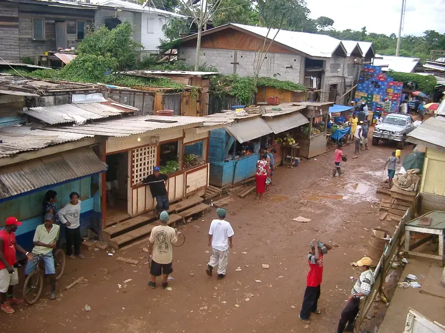
A lively hub to buy fresh produce, local crafts, and interact with the community.
Find woven baskets and traditional ornaments directly from local artisans.
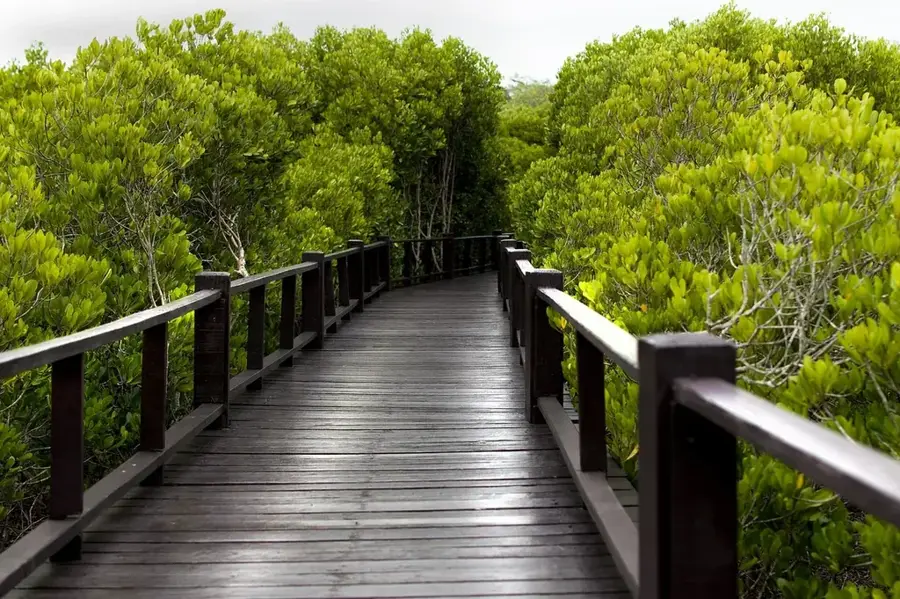
Features panoramic views over the lush rainforest and rivers.
A scenic spot along the river where locals often relax.
Water temperature…
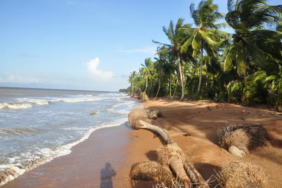
Mabaruma is the administrative center of Region 1 (Barima-Waini), located in the North-West District of Guyana. Unlike many coastal settlements, Mabaruma is perched on a ridge of hills rising above the surrounding swamps and riverside mangroves, providing a strategic and scenic location near the border with Venezuela. The town was established as the regional capital in the early 20th century, replacing the flood-prone town of Morawhanna. Its geography is unique in Guyana, featuring fertile volcanic soils that have supported a thriving agricultural sector for generations. Cocoa, coffee, citrus fruits, and yams are the staples of the local economy, often traded in the bustling waterfront markets of nearby Kumaka. The population is predominantly indigenous, with strong representations of the Warrau, Arawak, and Carib nations, creating a culturally rich environment where traditional knowledge intersects with modern administration. Mabaruma is accessible primarily by air via the Mabaruma Airport or by a bi-monthly ferry service from Georgetown, a journey that navigates the intricate river systems of the Northwest. The town serves as a critical service hub, housing the regional hospital, secondary schools, and government offices that oversee a territory larger than some Caribbean nations. Notable landmarks include the massive rubber trees planted during the colonial era and the nearby Hosororo Falls, which once powered a small hydroelectric plant. In recent years, Mabaruma has seen infrastructure improvements, including paved internal roads and increased solar power generation. The town’s location makes it a focal point for national security and border monitoring, while its natural beauty features untapped potential for eco-tourism. From the ancient shell mounds nearby to the lively birdlife in the surrounding rainforest, Mabaruma remains a frontier town that embodies the rugged spirit and agricultural promise of Guyana’s Northwest.
- Location: Guyana
- Nearby: Morawhanna (5 km)
- Population: ~6.366 (2026)
Best time to visit & climate
The most pleasant time to visit is Feb, Mar, Sep.
| Jan | Feb | Mar | Apr | May | Jun | Jul | Aug | Sep | Oct | Nov | Dec | |
|---|---|---|---|---|---|---|---|---|---|---|---|---|
| Avg °C | 25 | 25 | 26 | 27 | 26 | 26 | 25 | 26 | 26 | 26 | 26 | 25 |
| Rain mm | 132 | 86 | 63 | 95 | 229 | 254 | 238 | 174 | 102 | 112 | 174 | 207 |
Geography
Facts
- Mabaruma was officially gazetted as a town in October 2017.
- The town is situated on a plateau at an elevation of roughly 13 meters.
- Region 1 is the only Guyanese region with a significant volcanic landscape.
- Mabaruma's climate is classified as Tropical Rainforest (Af).
- The town is the primary judicial center for the North-West District.
- Many residents are bilingual, speaking English and Spanish or indigenous tongues.
- The North-West District was a major focus of the 19th-century gold rush.
- Mabaruma hosts the biennial North West Games, a regional sports event.
Explore nearby
Notable places around
Route planner — Car & Motorhome
Where do you start? We build the route here, with stops and country notes along the way.
© OpenStreetMap contributors · OpenRouteService
Sights in the town Mabaruma (1)
Frequently asked questions
How do you get to Mabaruma?
What is unique about Mabaruma's location?
Which indigenous cultures are present there?
Are there hotels in Mabaruma?
What is the main agricultural product?
Mabaruma: where is it located?
Mabaruma: when is the best time to visit?
Mabaruma: why is it worth visiting?

Nearby cities

Nature
More places