Plizio Visual Lab
Waini River

Weather…
Water temperature…
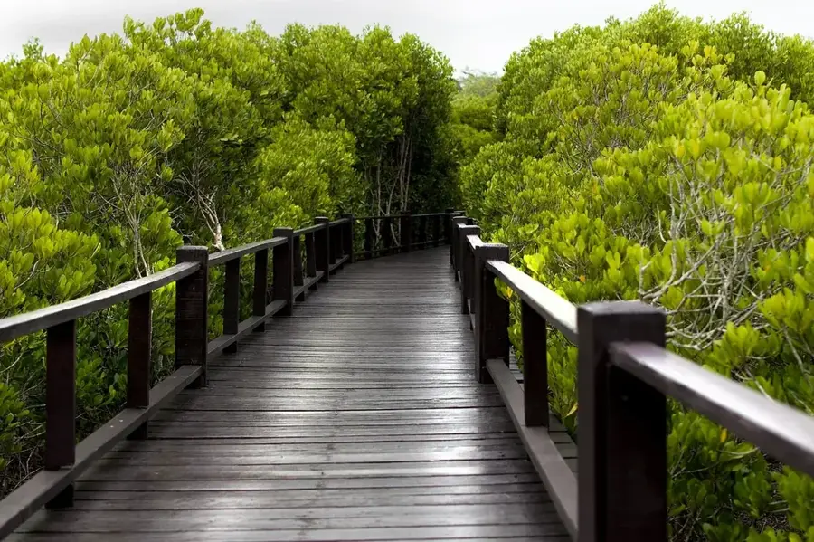
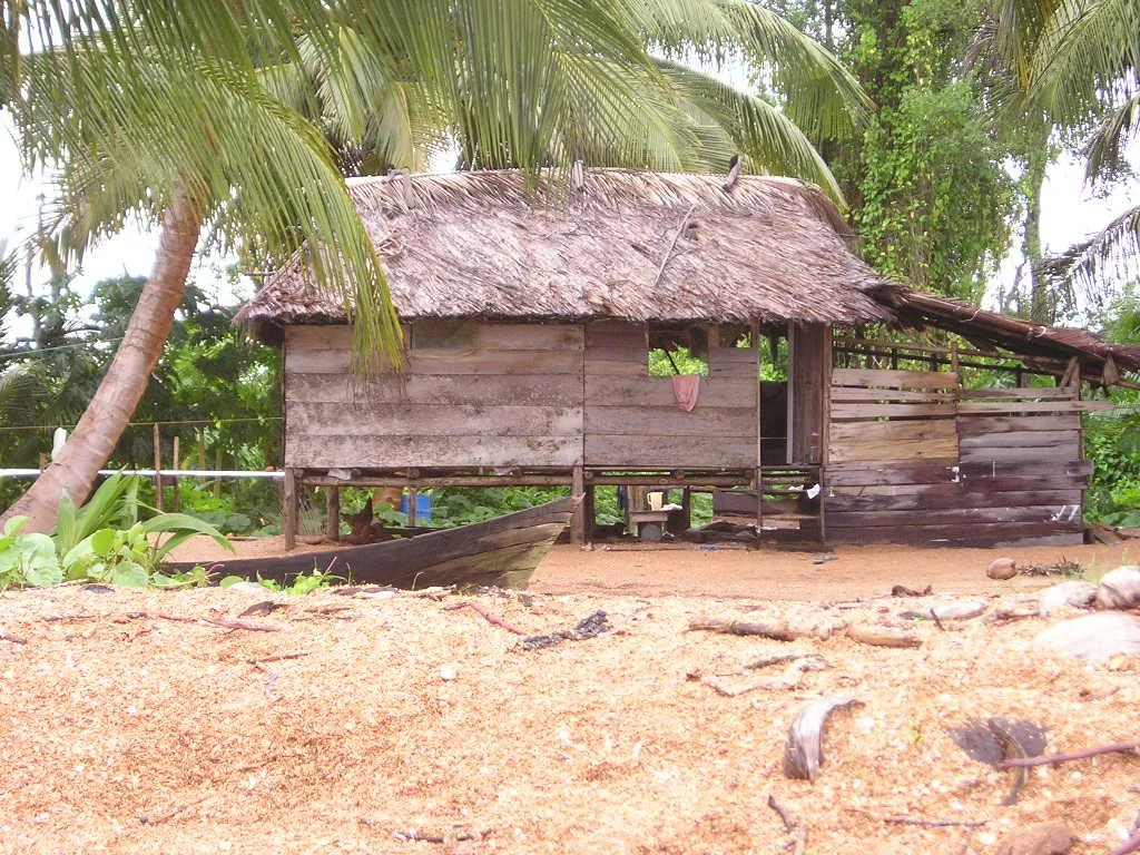
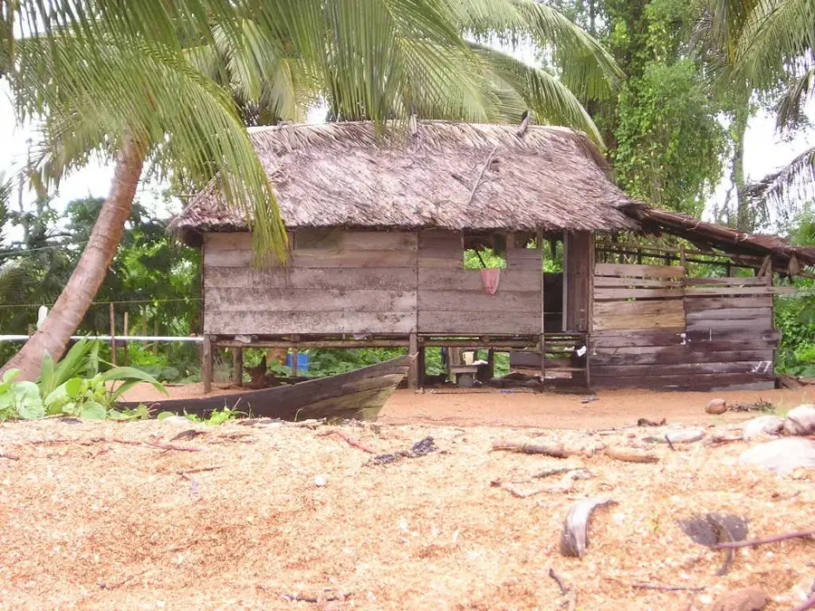
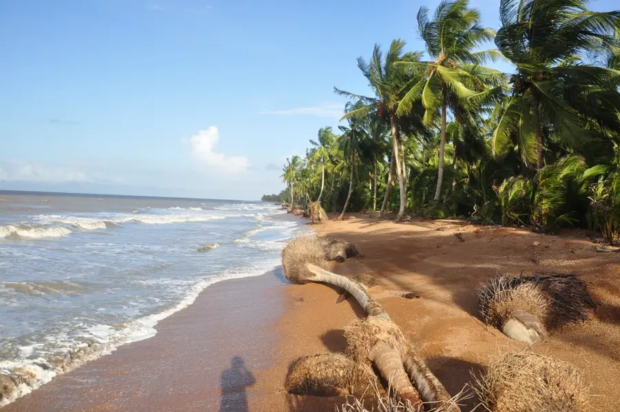
The Waini River is a major waterway in the Barima-Waini region of northwestern Guyana, flowing through dense tropical rainforests and extensive swampland. Spanning approximately 180 kilometers, it empties into the Atlantic Ocean near the border with Venezuela. The area surrounding the river's mouth is part of the Shell Beach Protected Area, a 145-kilometer stretch of coastline renowned as one of the world's most critical nesting sites for four endangered sea turtle species. Numerous indigenous settlements are located along the river, where inhabitants traditionally rely on fishing and sustainable forestry for their livelihoods. The vegetation primarily consists of pristine mangrove forests that serve as natural coastal protection and host immense biodiversity. The river also serves as a vital transportation route for remote communities in this border region. The water quality of the Waini is characterized by a high organic content, giving it a distinct dark coloration. In recent decades, the river's importance for conservation and scientific research on coastal ecosystems has steadily increased.
- Location: Guyana
- Nearby: Shell Beach (12 km)
Best time to visit & climate
The most pleasant time to visit is Feb–Apr.
| Jan | Feb | Mar | Apr | May | Jun | Jul | Aug | Sep | Oct | Nov | Dec | |
|---|---|---|---|---|---|---|---|---|---|---|---|---|
| Avg °C | 26 | 26 | 26 | 27 | 27 | 26 | 26 | 27 | 27 | 27 | 27 | 26 |
| Rain mm | 142 | 94 | 69 | 104 | 245 | 263 | 245 | 174 | 103 | 113 | 179 | 219 |
📋 Practical info
Geography
Facts
- The Waini River has an estimated length of 180 kilometers.
- Its mouth is situated within the 145 km Shell Beach Protected Area.
- Four endangered turtle species nest on the nearby coastal sands.
- The river forms a complex labyrinth of waterways and islands near the sea.
- The region is home to the indigenous Warrau and Arawak peoples.
- It flows entirely within Administrative Region 1 (Barima-Waini).
Explore nearby
Notable places around
Route planner — Car & Motorhome
Where do you start? We build the route here, with stops and country notes along the way.
© OpenStreetMap contributors · OpenRouteService
Sights nearby
Frequently asked questions
Where does the Waini River flow into?
What is Shell Beach?
What animals live in the river?
Are there indigenous villages there?
Is the river navigable?
Waini River: where is it located?
Waini River: when is the best time to visit?
Waini River: why is it worth visiting?

Nearby cities

Nature
More places