Plizio Visual Lab
Barima-Waini Mangrove Forests
Weather…
Water temperature…
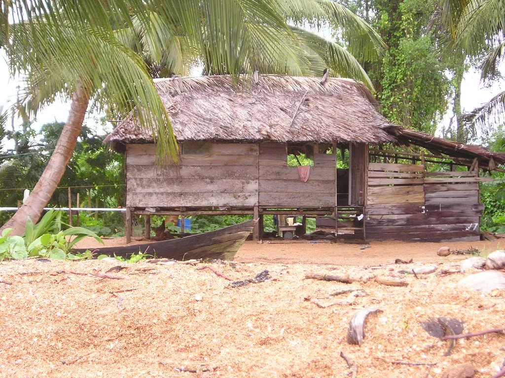
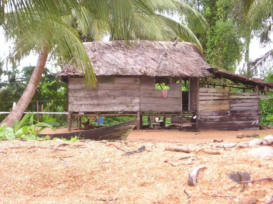
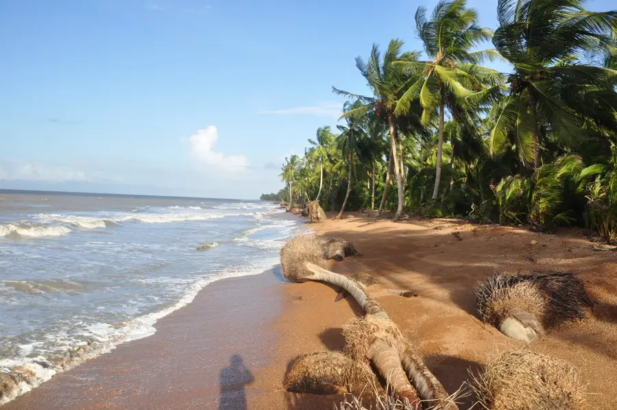
The Barima-Waini Mangrove Forests stretch along Guyana's northwestern Atlantic coast, forming a vital barrier between the sea and the mainland. This ecosystem consists primarily of red, black, and white mangroves adapted to the saline conditions of the intertidal zone. They function as a natural coastal protection system, preventing erosion and mitigating the impact of storm surges. Furthermore, mangroves serve as a nursery for numerous fish species, shrimp, and crabs, making them the foundation of the local fishing economy. Historically, mangrove bark was used for tanning, but today their protection is a focus of national environmental programs. The region also hosts a rich birdlife, including the scarlet ibis, which finds its nesting sites here. Soil salinization and rising sea levels pose growing challenges for the preservation of these forests. Local reforestation initiatives and community awareness programs are helping to preserve this unique heritage for future generations.
- Location: Guyana
- Nearby: Shell Beach (18 km)
Best time to visit & climate
The most pleasant time to visit is Feb–Apr.
| Jan | Feb | Mar | Apr | May | Jun | Jul | Aug | Sep | Oct | Nov | Dec | |
|---|---|---|---|---|---|---|---|---|---|---|---|---|
| Avg °C | 26 | 26 | 26 | 27 | 27 | 26 | 26 | 27 | 27 | 27 | 27 | 26 |
| Rain mm | 142 | 94 | 69 | 104 | 245 | 263 | 245 | 174 | 103 | 113 | 179 | 219 |
📋 Practical info
Geography
Facts
- In Guyana, there are three main types of mangroves: Rhizophora, Avicennia, and Laguncularia.
- The Barima-Waini region (Region 1) has the largest mangrove coverage in the country.
- Mangroves store up to four times more carbon than tropical rainforests.
- The 'Shell Beach' in this region is an important nesting ground for sea turtles.
- Approximately 80% of the world's fish catch depends directly or indirectly on mangroves.
- The national mangrove management project was launched in 2010.
Explore nearby
Notable places around
Route planner — Car & Motorhome
Where do you start? We build the route here, with stops and country notes along the way.
© OpenStreetMap contributors · OpenRouteService
Sights nearby
Frequently asked questions
Why are these mangrove forests important?
Can the mangroves be visited?
What animals live in the mangroves?
What is Shell Beach?
Is the area swampy?
Barima-Waini Mangrove Forests: where is it located?
Barima-Waini Mangrove Forests: when is the best time to visit?
Barima-Waini Mangrove Forests: why is it worth visiting?

Nearby cities

Nature
More places