Plizio Visual Lab
Port Kaituma
ℹ️Practical info — Port Kaituma
▾
🌤 Weather — 5 days
📍 Nearby
Sights nearby
💡 Tips
- As a mining hub, prices for goods can be higher than on the coast.
- River transport and small aircraft are the main ways in and out.
- Malaria precautions are advised in this interior region.
- The town has a rough-and-ready frontier feel; always stay aware of your surroundings.
🍽 Food
Sometimes available in local cook shops, ask for recommendations.
Needed for the miners, served in central eateries.
Due to the proximity of miners, you might find some Brazilian snacks.
🛍 Shopping · 🧘 Quiet spots
Interesting to see the equipment used locally.
For fresh produce brought in by boat.
Watch the boats go by from a quiet spot on the bank.
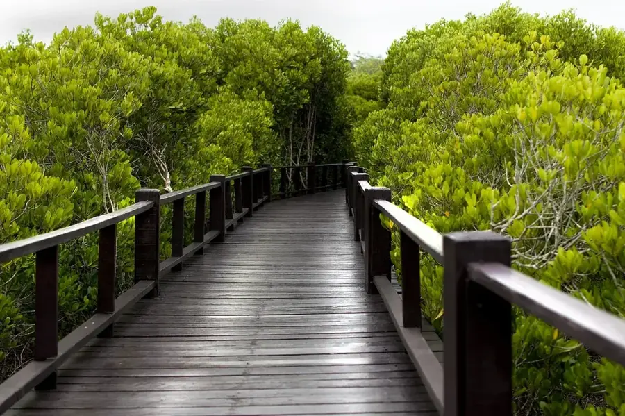
Where the dense rainforest begins, offering a stark contrast to the busy town center.
Water temperature…
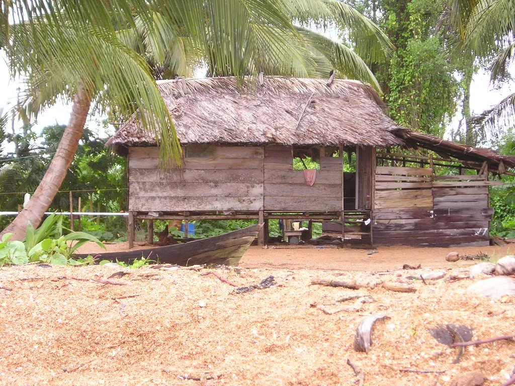
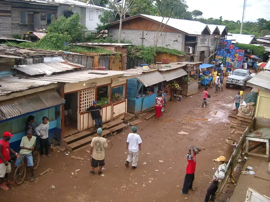
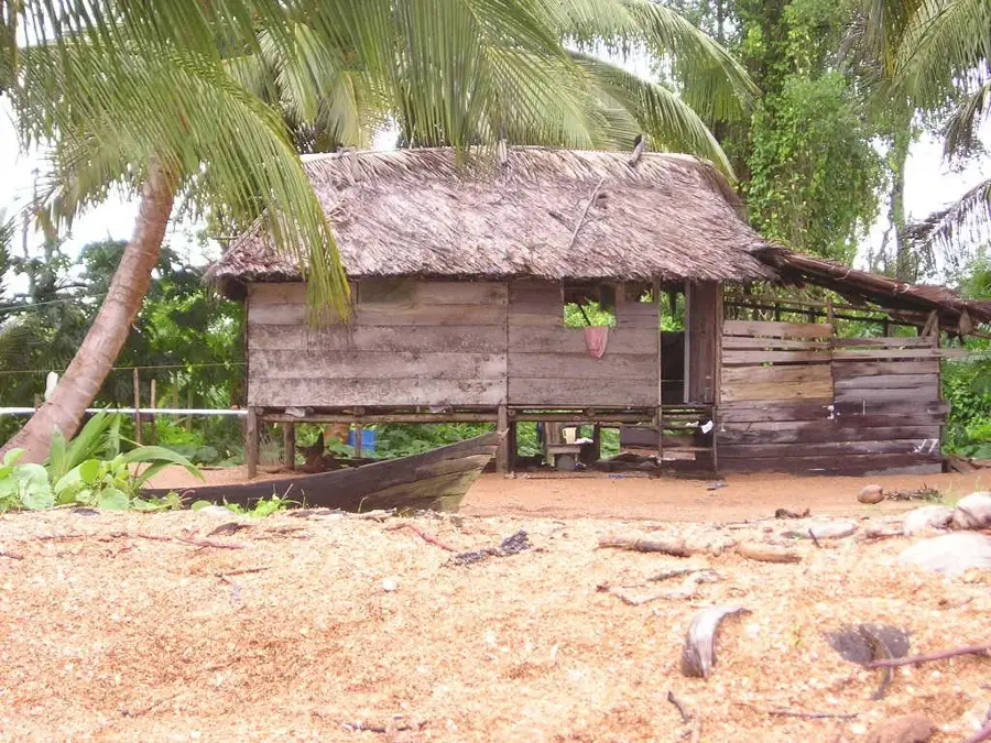
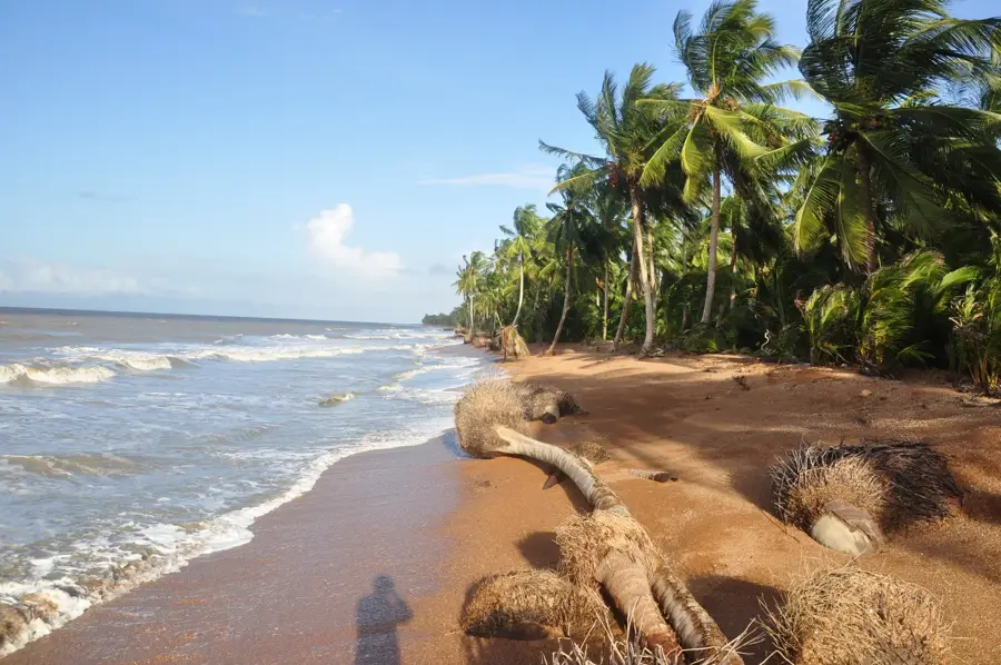
Port Kaituma, located in the Barima-Waini region of northwestern Guyana, is a historical mining hub and a critical logistical outpost in the heart of the rainforest. The settlement was originally established as a shipping terminal for manganese ore extracted from the nearby Matthews Ridge mines. Geographically, Port Kaituma sits on the banks of the Kaituma River, which flows into the Atlantic via the Barima River. The town's architecture reflects its industrial origins, featuring remnants of railway infrastructure and heavy-duty loading docks that now primarily serve the gold and diamond mining industries. As the primary supply center for the entire Kaituma basin, the town is accessible only by light aircraft or a multi-day river journey. Port Kaituma gained global notoriety in 1978 due to its proximity to Jonestown, an event that remains a significant part of its historical identity. Today, it is a bustling economic frontier where the raw energy of gold prospectors blends with the enduring traditions of local indigenous communities. The surrounding relief is defined by dense jungle and extensive wetlands, making transport a persistent logistical challenge.
- Location: Guyana
- Nearby: Kumaka (27 km)
Best time to visit & climate
The most pleasant time to visit is Feb, Mar, Sep.
| Jan | Feb | Mar | Apr | May | Jun | Jul | Aug | Sep | Oct | Nov | Dec | |
|---|---|---|---|---|---|---|---|---|---|---|---|---|
| Avg °C | 25 | 25 | 26 | 27 | 26 | 25 | 25 | 26 | 26 | 26 | 26 | 25 |
| Rain mm | 144 | 97 | 71 | 110 | 253 | 259 | 243 | 170 | 94 | 98 | 155 | 204 |
Geography
Facts
- Port Kaituma's airstrip was the site of a significant ambush during the 1978 crisis.
- The town is a primary logistical hub for illegal and legal mining operations.
- The surrounding area is home to diverse indigenous groups, including the Warraus.
- A new manganese processing plant is being developed by a Chinese consortium.
- Kaituma is noted for its high cost of living due to the remoteness and mining wealth.
- The settlement acts as a strategic monitoring point for the Barima-Waini border area.
Explore nearby
Notable places around
Route planner — Car & Motorhome
Where do you start? We build the route here, with stops and country notes along the way.
© OpenStreetMap contributors · OpenRouteService
Frequently asked questions
What was Port Kaituma historically known for?
Can you visit the Jonestown site?
What are the transport links to the outside world?
Are there tourist accommodations available?
Which rivers flow near Port Kaituma?
Port Kaituma: where is it located?
Port Kaituma: when is the best time to visit?
Port Kaituma: why is it worth visiting?

Nearby cities

Nature
More places