Plizio Visual Lab
Dubréka

ℹ️Practical info — Dubréka
▾
🌤 Weather — 5 days
📍 Nearby
Sights nearby
💡 Tips
- The town is the gateway to Mount Soumba; hiring a local guide is highly recommended for any hiking.
- The rainy season makes waterfalls spectacular but roads muddy; plan your visit between November and April.
- Carry sufficient Guinean Francs, as ATMs are scarce and mostly limited to the capital, Conakry.
- Public transport from Conakry can be crowded; consider a private taxi for a more comfortable journey.
🍽 Food
Chicken marinated in lemon and onions, a popular dish available in small local restaurants.
A traditional dish made with rice, eggplant, and palm oil, often served in family-run eateries.
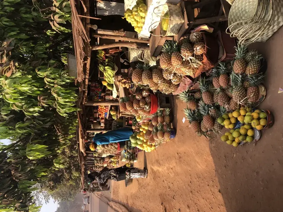
Available abundantly from local markets and roadside sellers during the season.
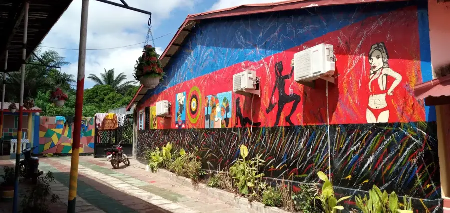
🛍 Shopping · 🧘 Quiet spots
A bustling spot for fresh fruits, vegetables, and everyday local goods.
Vendors near the tourist spots occasionally sell local crafts and simple jewelry.
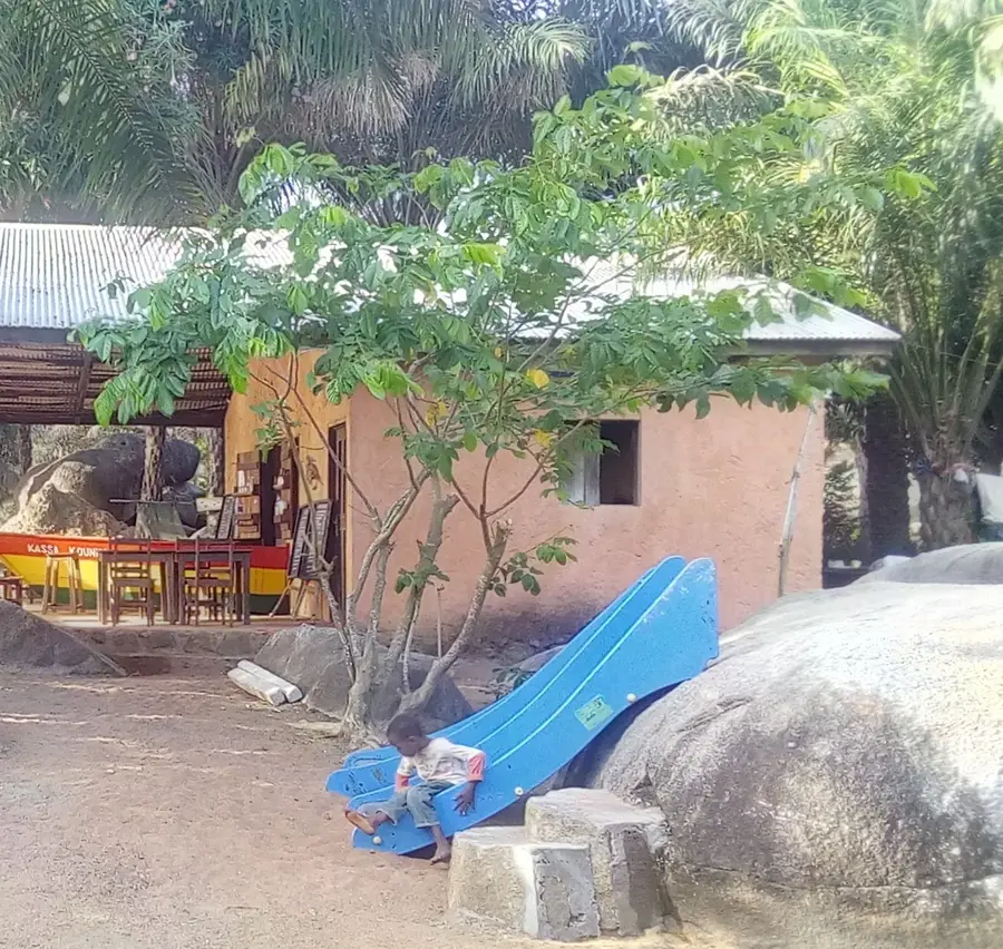
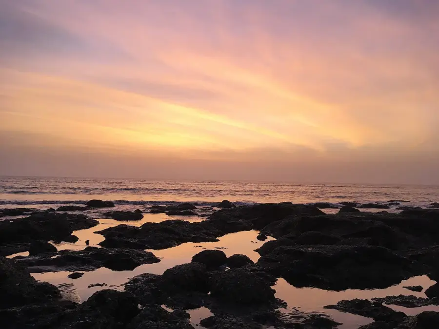
Beautiful natural waterfalls offering a refreshing and serene environment, especially on weekdays.
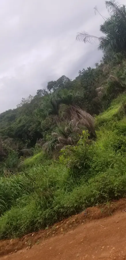
Escape the town's noise by hiking up the lush trails, rewarding you with panoramic views.
Water temperature…
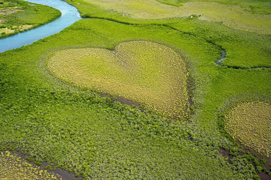
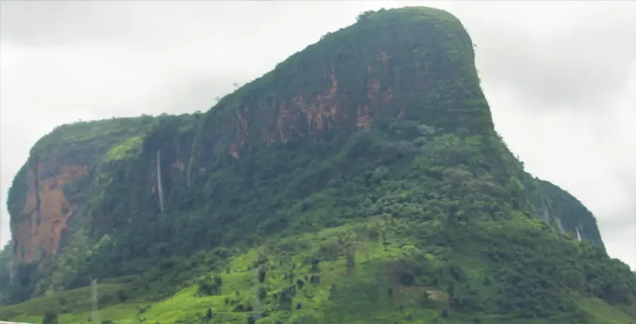
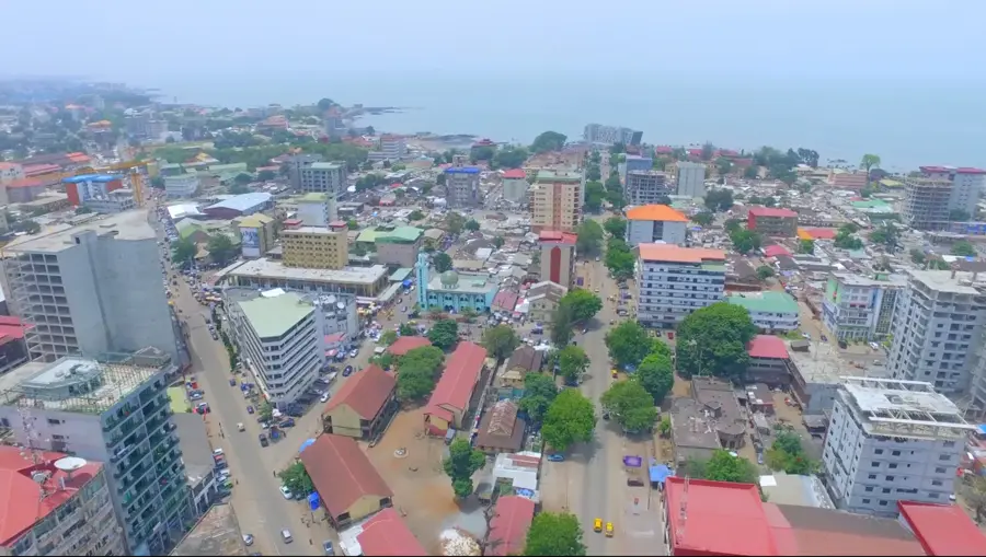
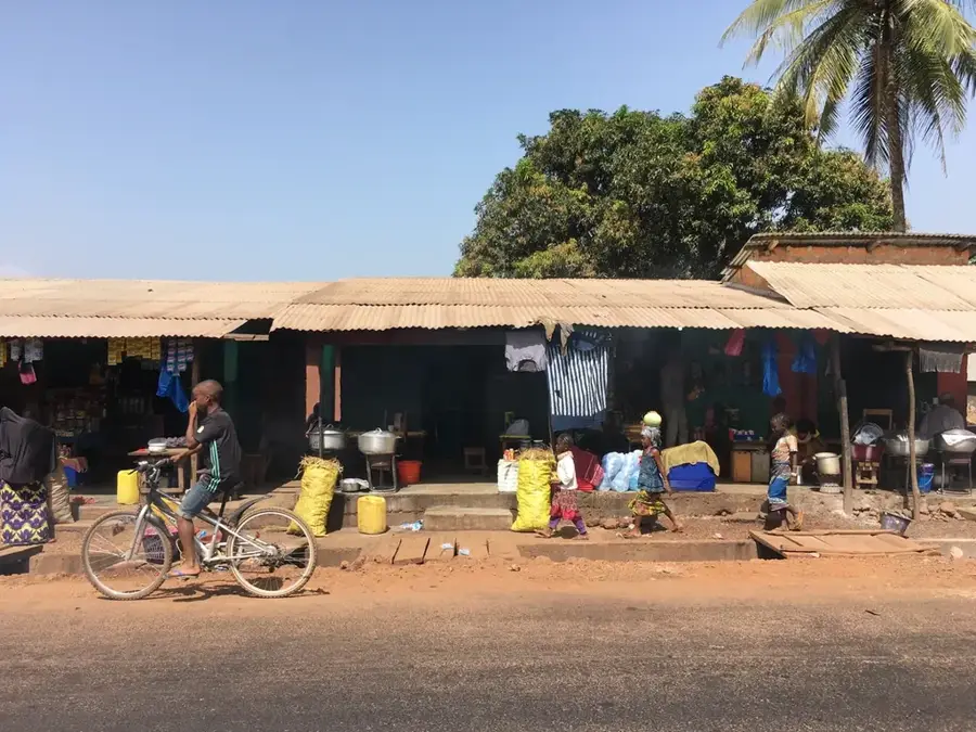
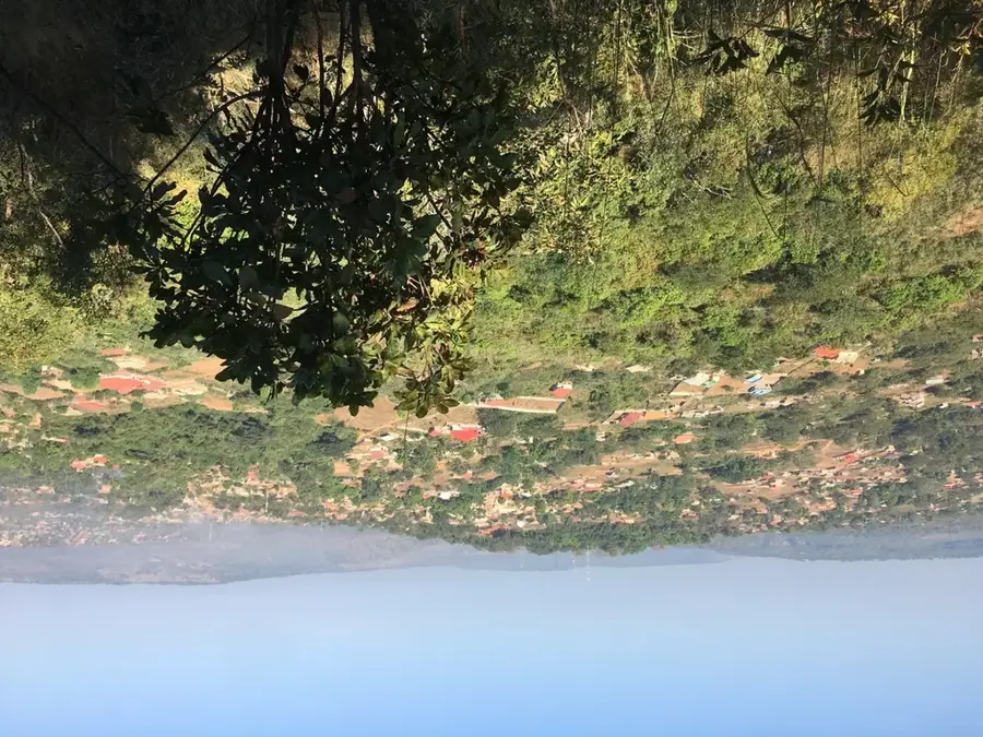
Dubréka is a key urban center in Maritime Guinea, situated just northeast of the capital, Conakry. The city serves as a vital strategic link for trade and transport between the Kaloum Peninsula and the Guinean interior. Geographically, the area is characterized by extensive mangrove forests along the Atlantic estuaries and the prominent silhouette of Mount Kakoulima, which towers over the landscape. Over recent decades, Dubréka has evolved from a primarily agricultural settlement into a sprawling suburban hub deeply integrated into the economic fabric of greater Conakry. The local economy is driven by a mix of commercial trade, estuarine fishing, and the cultivation of rice and tropical fruits in the fertile alluvial soils. As the administrative capital of its namesake prefecture, the city plays a significant role in regional governance and infrastructure development. The main highway passing through Dubréka connects the capital to the northern regions, facilitating the flow of goods and people. Culturally, the Susu people have historically shaped the town's identity, though it is now a diverse community reflecting Guinea's modern demographic shifts.
- Location: Guinea
- Nearby: Coyah (17 km)
- Population: ~182.296 (2023)
Best time to visit & climate
The most pleasant time to visit is Jan, Feb, Dec.
| Jan | Feb | Mar | Apr | May | Jun | Jul | Aug | Sep | Oct | Nov | Dec | |
|---|---|---|---|---|---|---|---|---|---|---|---|---|
| Avg °C | 27 | 29 | 29 | 29 | 28 | 27 | 26 | 25 | 26 | 26 | 27 | 26 |
| Rain mm | 0 | 2 | 1 | 13 | 87 | 322 | 749 | 865 | 438 | 178 | 45 | 2 |
Geography
Facts
- Dubréka serves as the administrative headquarters of the Dubréka Prefecture.
- The town sits at the base of the 1,011-meter high Mount Kakoulima.
- The Soumba Falls nearby are a popular natural destination for regional tourists.
- Its economy is highly dependent on its integration with the Conakry metro area.
- The surrounding lowlands are major producers of rice and tropical fruits.
- It is a critical junction on the N3 national highway connecting the coast to the interior.
Explore nearby
Notable places around
Route planner — Car & Motorhome
Where do you start? We build the route here, with stops and country notes along the way.
© OpenStreetMap contributors · OpenRouteService
Sights in the town Dubréka (1)
Frequently asked questions
When is the best time to visit Dubréka?
How far is Dubréka from Conakry?
Are there any natural attractions there?
What is the local food?
How many days should be planned?
Dubréka: where is it located?
Dubréka: when is the best time to visit?
Dubréka: why is it worth visiting?

Nearby cities
History & landmarks
Nature
More places