Plizio Visual Lab
Kaback

ℹ️Practical info — Kaback
▾
🌤 Weather — 5 days
📍 Nearby
Sights nearby
Water temperature…
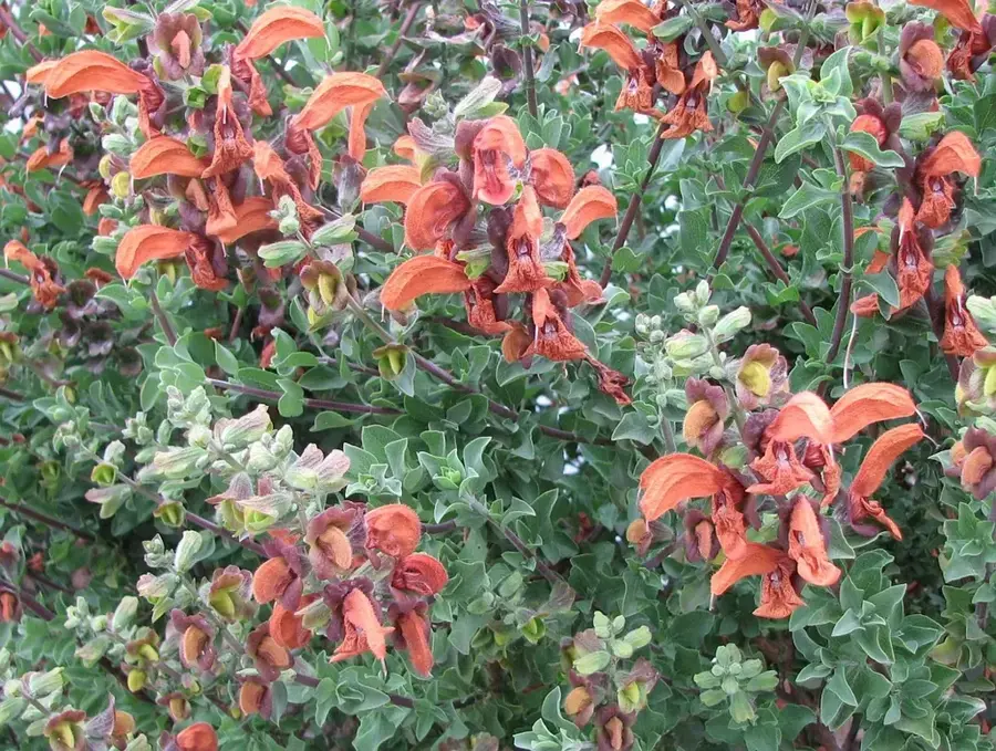
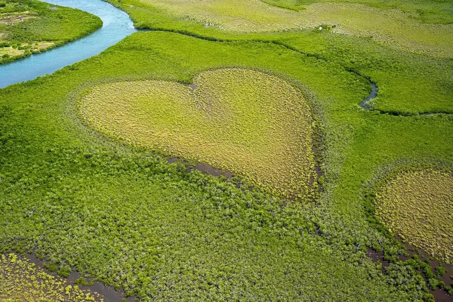
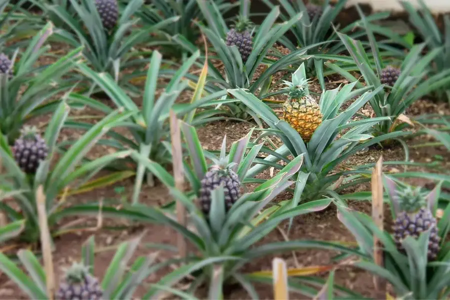
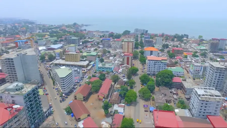
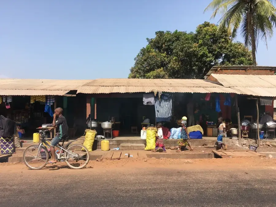
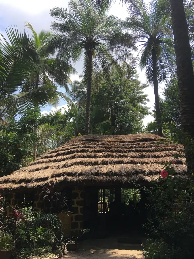
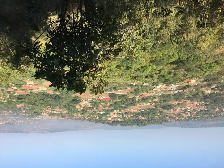
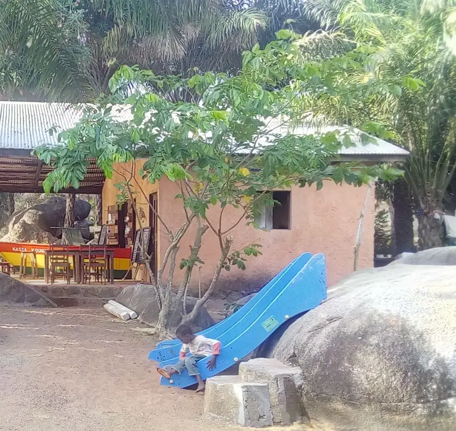
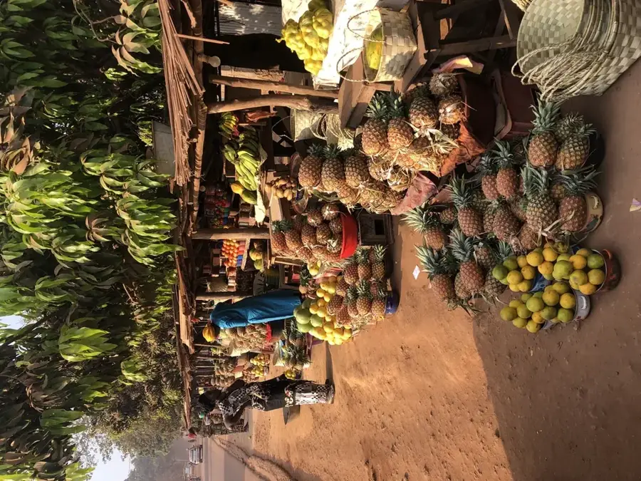
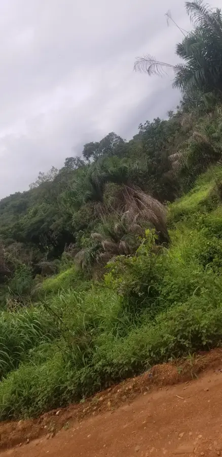
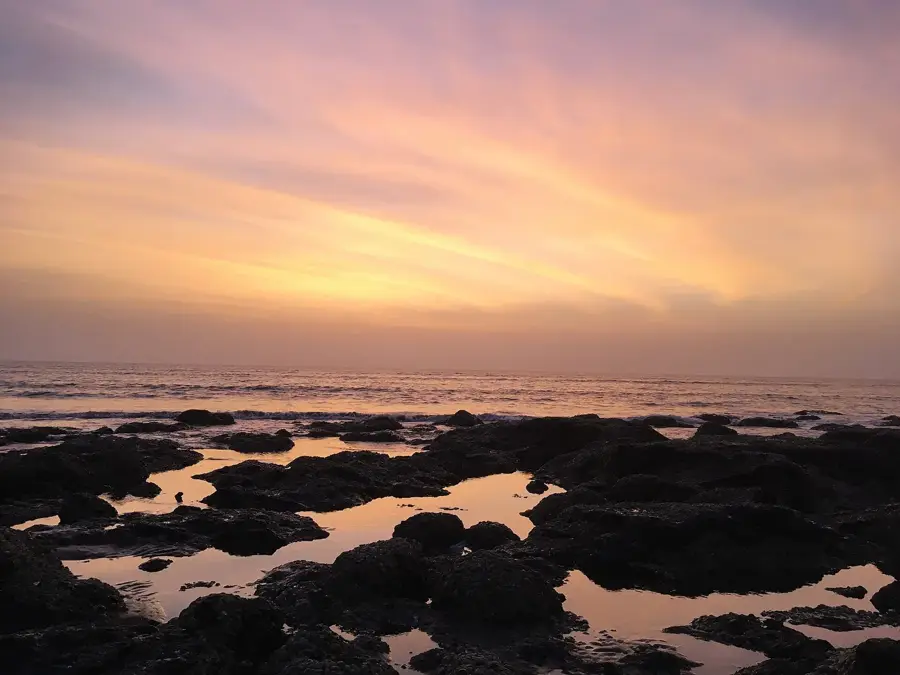
Kaback is a flat, expansive island in the delta region south of the capital, Conakry. It is less a classic tourist destination and more a fascinating glimpse into rural Guinean life. The island is the 'rice bowl' of the region, characterized by endless fields that glow in spirited green during the rainy season. Besides rice cultivation, traditional salt extraction from seawater is a vital livelihood for the residents. Kaback's coastline is lined with dense mangrove forests, forming a crucial ecosystem for fish and birds. There are some remote beaches, which often have darker sand than the Îles de Los but offer undisturbed solitude. Visiting the villages allows one to experience the warm hospitality of the Soussou people and observe the crafts of weaving or shipbuilding. Moving around the island is mostly on foot or by motorcycle taxi. Culinarilly, locally grown rice naturally dominates, served with fish sauces or peanut sauce. Access involves a drive south from Conakry and then a crossing by ferry or pirogue. The best time to visit is the start of the dry season (October/November) when the landscape is still green. Kaback is a destination for travelers seeking the 'real' Guinea beyond postcard motifs. The island is increasingly struggling with rising sea levels, highlighting the importance of its mangrove belts. A local guide can help understand the complex irrigation systems of the rice fields. Kaback provides a meditative landscape that invites a slower pace.
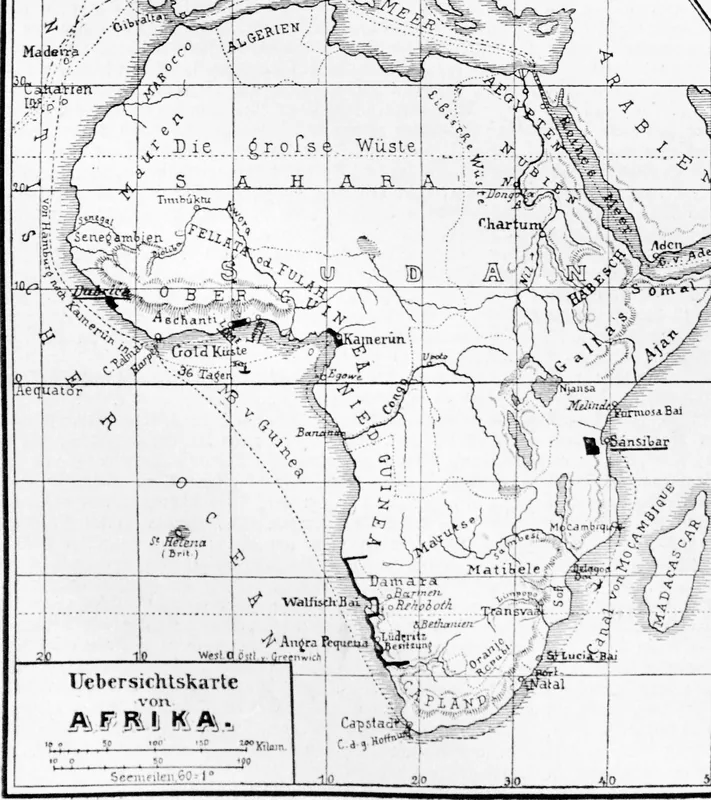
- Location: Guinea
- Nearby: Maférinyah (20 km)
Best time to visit & climate
The most pleasant time to visit is Jan–Mar.
| Jan | Feb | Mar | Apr | May | Jun | Jul | Aug | Sep | Oct | Nov | Dec | |
|---|---|---|---|---|---|---|---|---|---|---|---|---|
| Avg °C | 27 | 27 | 27 | 27 | 28 | 27 | 26 | 26 | 26 | 27 | 28 | 28 |
| Rain mm | 0 | 2 | 1 | 13 | 90 | 353 | 826 | 943 | 441 | 173 | 53 | 3 |
Geography
Facts
- Major rice-growing region
- Center for traditional salt production
- Extensive mangrove forests
- Flat topography
- Home to Soussou culture
- Accessible by ferry from Moribayah
- Authentic rural life
- Significant for regional fisheries
Explore nearby
Notable places around
Route planner — Car & Motorhome
Where do you start? We build the route here, with stops and country notes along the way.
© OpenStreetMap contributors · OpenRouteService
Frequently asked questions
Kaback: where is it located?
Kaback: when is the best time to visit?
Kaback: why is it worth visiting?

Nearby cities

History & landmarks
Nature
More places