Plizio Visual Lab
Maférinyah
ℹ️Practical info — Maférinyah
▾
🌤 Weather — 5 days
📍 Nearby
Sights nearby
💡 Tips
- Mosquito repellent is absolutely essential here due to the nearby mangroves and expansive rice fields.
- You can often arrange informal boat trips through the mangrove forests by talking to local fishermen.
- While geographically close to Conakry, factor in extra travel time due to the capital's heavy outbound traffic.
- Be aware that during the rainy season, some of the smaller unpaved access roads can quickly flood.
- Take advantage of the coastal proximity and dive into the fresh, local seafood options available.
🍽 Food
Freshly caught and typically cooked in a rich, red palm oil sauce.
The staple side dish, grown in the very fields surrounding the town.
Enjoyed best at simple, rustic eateries located near the water.
🛍 Shopping · 🧘 Quiet spots
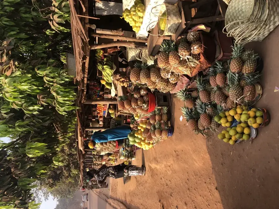
Buy authentic local grain directly from the community market.
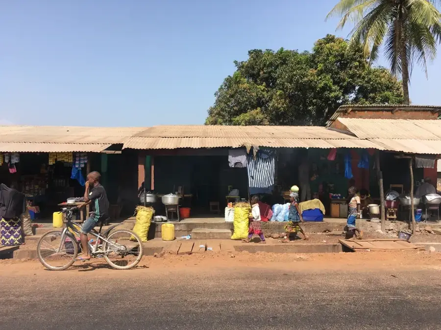
The local market is the best place to see the daily catch.
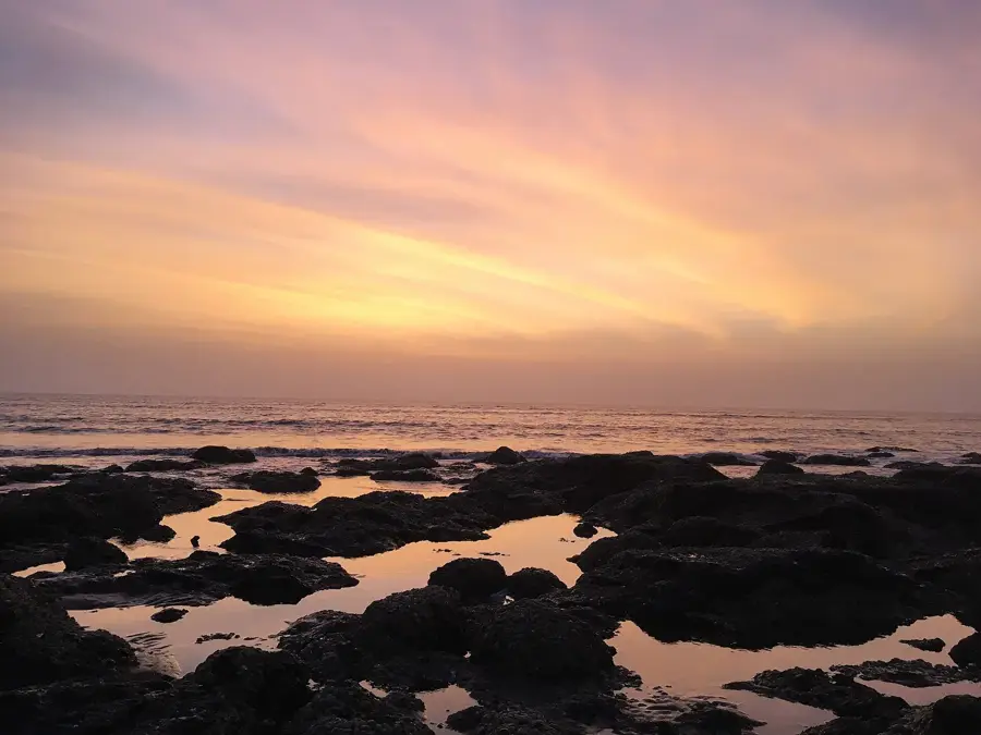
A perfectly still and quiet place to watch the sun go down over the water.
Take a peaceful walk along the raised paths between the lush green fields.
Water temperature…
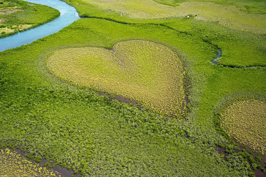
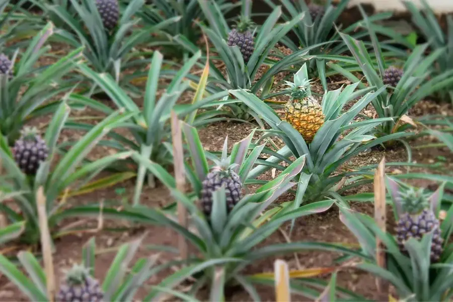
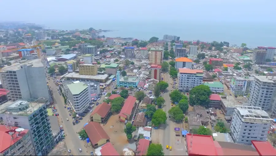
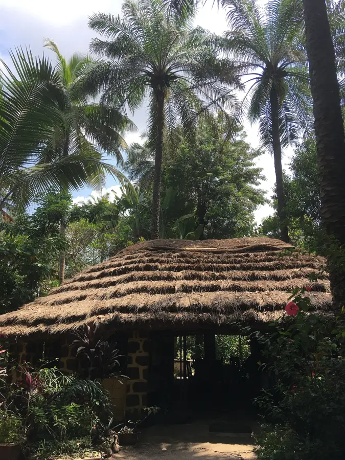
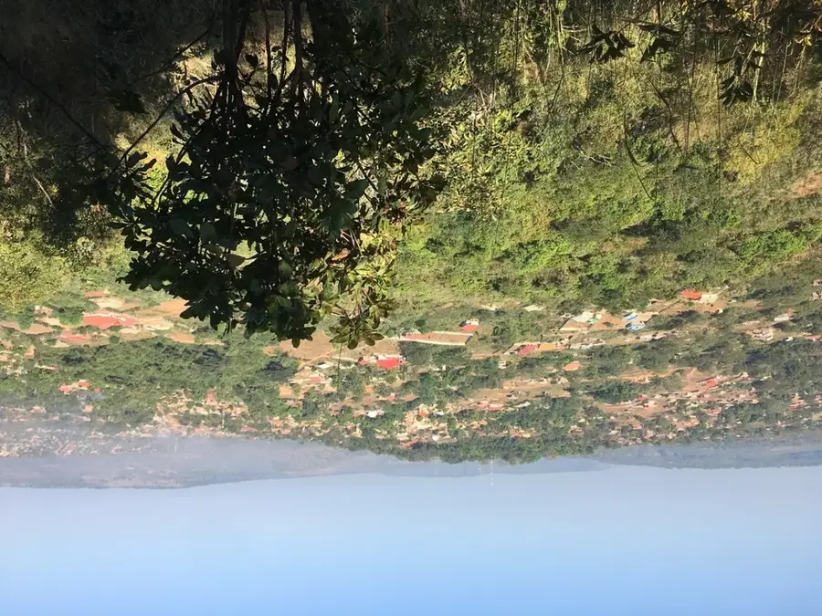
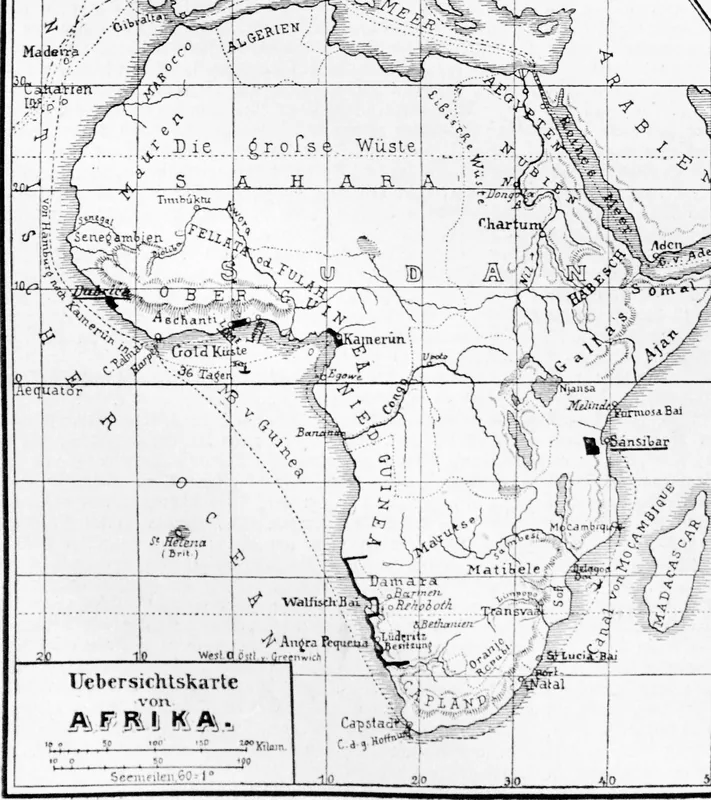
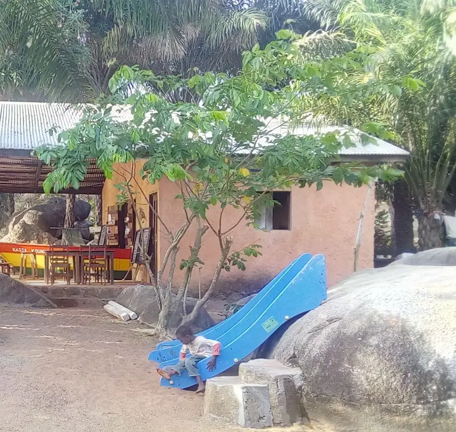
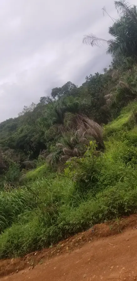
Maférinyah is a dynamic coastal hub in the Forécariah Prefecture, located southeast of the capital, Conakry, in Maritime Guinea. The town is situated on a fertile coastal plain, characterized by a network of tidal creeks, mangrove swamps, and extensive agricultural lands. Maférinyah has emerged as a major center for market gardening, particularly famous for its high-quality mango production, which is supplied to both domestic and international markets. Its proximity to the capital and the Port of Conakry facilitates trade and makes the town a significant economic player in the Lower Guinea region. Beyond farming, artisanal fishing in the nearby estuaries provides a vital livelihood for the local population. The town's infrastructure has improved in recent years following the modernization of the main road connecting Guinea to Sierra Leone. Culturally, Maférinyah is strongly influenced by the Susu people, which is reflected in the local language, music, and traditional festivals. The town also serves as a gateway for exploring the pristine coastal landscapes and small islands located nearby.
- Location: Guinea
- Nearby: Wonkifong (10 km)
Best time to visit & climate
The most pleasant time to visit is Jan, Feb, Dec.
| Jan | Feb | Mar | Apr | May | Jun | Jul | Aug | Sep | Oct | Nov | Dec | |
|---|---|---|---|---|---|---|---|---|---|---|---|---|
| Avg °C | 26 | 28 | 29 | 29 | 28 | 26 | 25 | 24 | 25 | 25 | 26 | 25 |
| Rain mm | 0 | 4 | 3 | 25 | 117 | 365 | 811 | 930 | 451 | 178 | 55 | 3 |
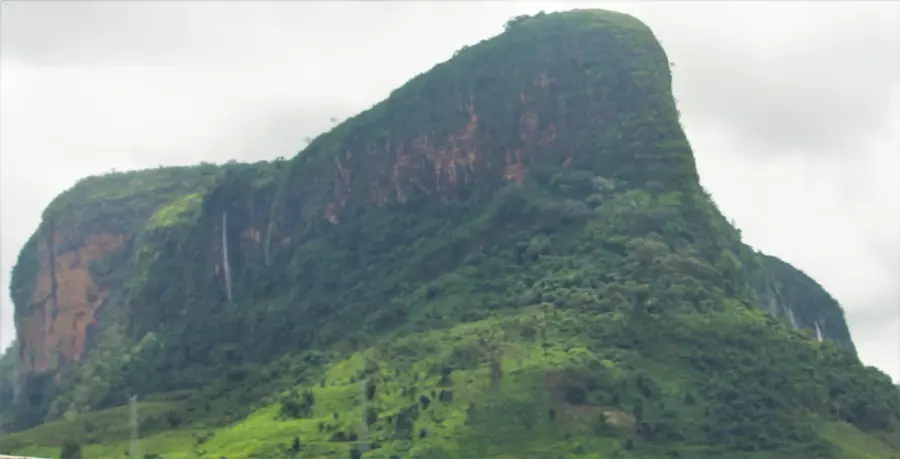
Geography
Facts
- Maférinyah is a top regional hub for the production and export of mangoes.
- The town is located on the strategic N4 highway leading to Sierra Leone.
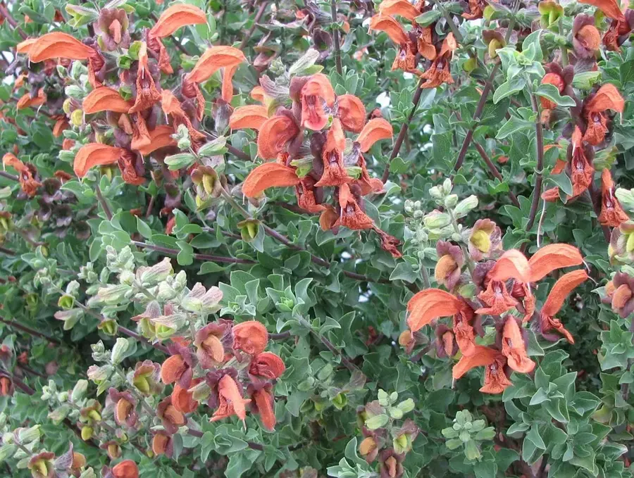
- The surrounding area features ecologically vital mangrove forests.
- Maférinyah is home to several specialized tropical fruit nurseries.
- Artisanal fishing in coastal estuaries is a primary economic pillar.
- The town is a significant cultural center for traditional Susu music and dance.
Explore nearby
Notable places around
Route planner — Car & Motorhome
Where do you start? We build the route here, with stops and country notes along the way.
© OpenStreetMap contributors · OpenRouteService
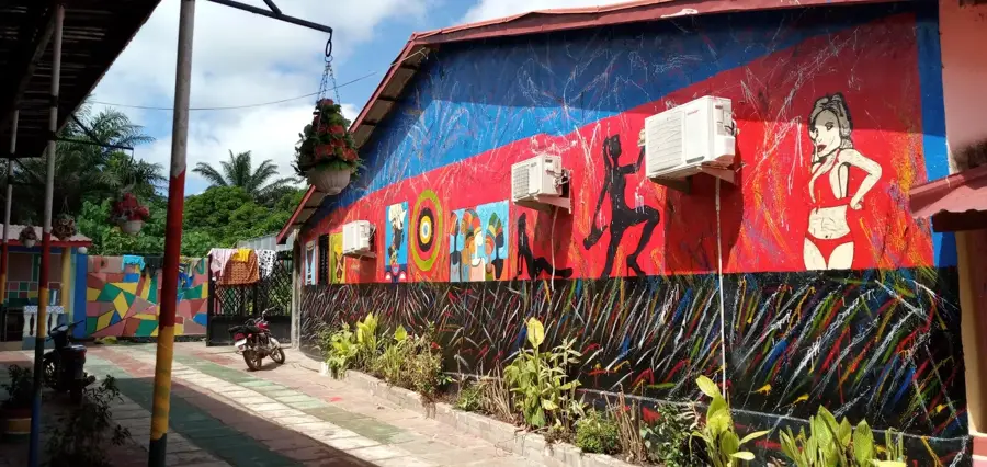
Sights in the town Maférinyah (1)
Frequently asked questions
What is special about Maférinyah?
How far is it from Conakry?
Are there beaches there?
What can you buy at the market?
Can you visit agricultural farms?
Maférinyah: where is it located?
Maférinyah: when is the best time to visit?
Maférinyah: why is it worth visiting?

Nearby cities

History & landmarks
Nature
More places