Plizio Visual Lab
Soumba Bridge

Weather…
Water temperature…
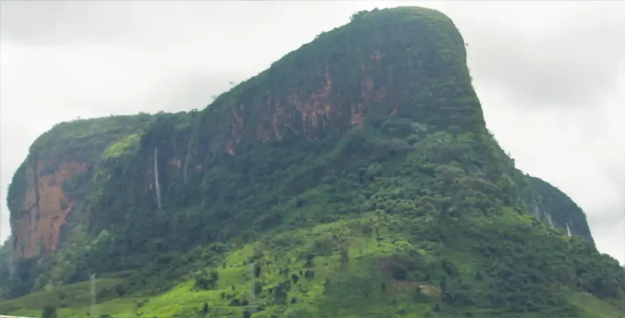
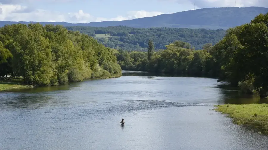
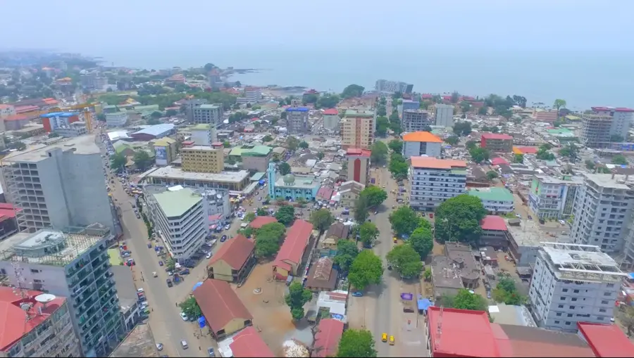
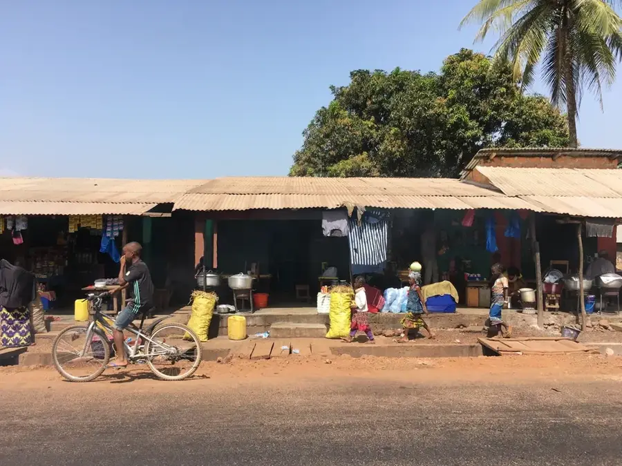
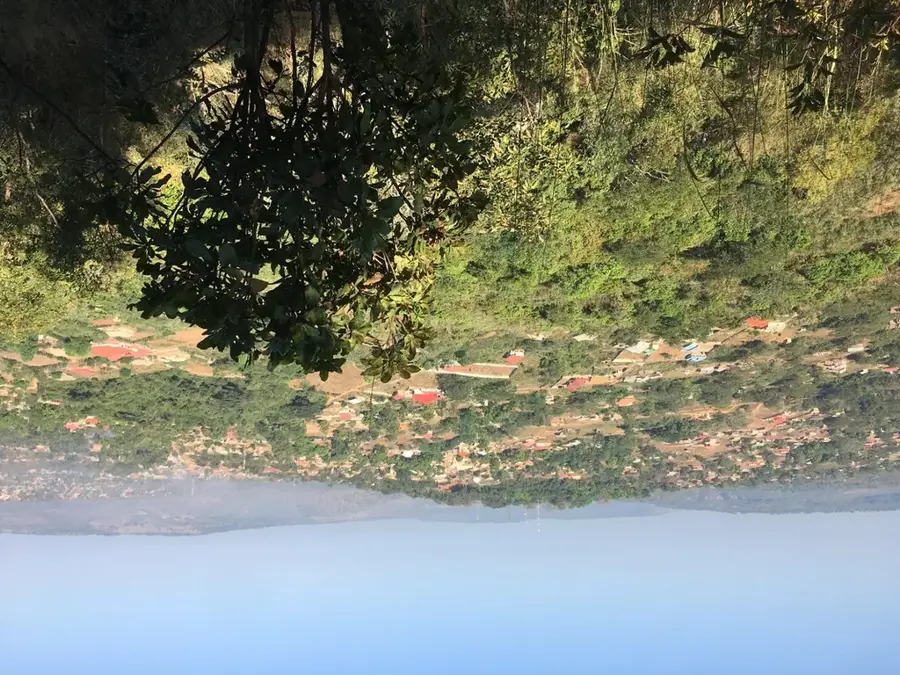
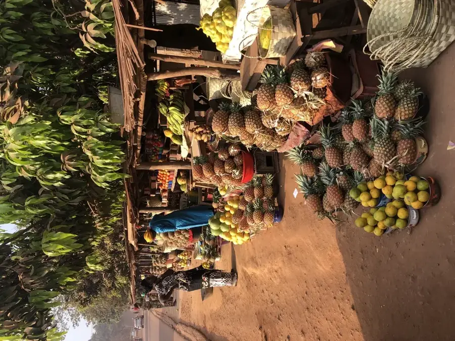
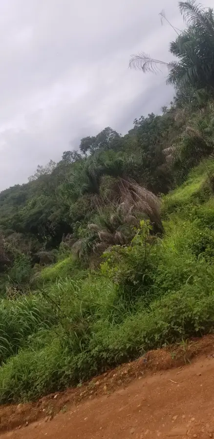
The Soumba Bridge (Pont de la Soumba) is a vital piece of infrastructure in the Dubréka Prefecture, located approximately 50 kilometers north of the capital, Conakry. Geographically, the bridge spans the scenic Soumba River in a region renowned for its lush tropical vegetation and dramatic waterfalls. As a critical link on the N3 national highway, it connects Conakry to the northwestern part of the country, specifically the industrial mining hub of Boké and the border with Guinea-Bissau. The architecture is sturdy and functional, engineered to withstand heavy logistics traffic and seasonal river surges. Historically, the bridge has been essential to the development of Maritime Guinea, fostering economic growth in the Dubréka area. Its proximity to the popular Soumba Falls makes it a well-known landmark for travelers and tourists alike. Economically, the bridge is indispensable for the transport of agricultural produce and mining materials toward the Port of Conakry. The bridge gives striking views of the river valley and the foothills of the Kakoulima Massif, making it one of the most easy on the eye river crossings in the country.
- Location: Guinea
- Top sights: Piscine Naturelle · Tête du Mont du Chien qui fume
- Nearby: Dubréka (4 km)
Best time to visit & climate
The most pleasant time to visit is Jan, Feb, Dec.
| Jan | Feb | Mar | Apr | May | Jun | Jul | Aug | Sep | Oct | Nov | Dec | |
|---|---|---|---|---|---|---|---|---|---|---|---|---|
| Avg °C | 27 | 29 | 29 | 29 | 28 | 27 | 26 | 25 | 26 | 26 | 27 | 26 |
| Rain mm | 0 | 2 | 1 | 13 | 87 | 322 | 749 | 865 | 438 | 178 | 45 | 2 |
📋 Practical info
Geography
Facts
- The bridge is a strategic bottleneck on the main route between Conakry and Boké.
- It is situated just a few hundred meters from the Soumba Waterfalls.
- The structure was reinforced to accommodate heavy industrial mining vehicles.
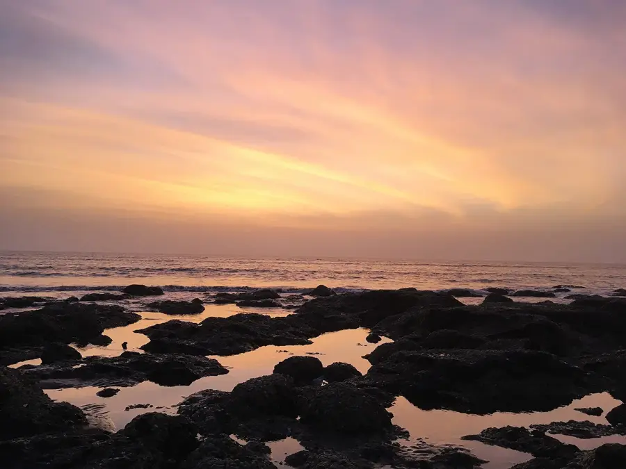
- The Soumba River flows into the Atlantic Ocean shortly after passing the bridge.
- It marks the entrance into the more rugged and mountainous terrain of Dubréka.
- The bridge serves as a key monitoring point for regional commerce and transport.
Explore nearby
Notable places around
Route planner — Car & Motorhome
Where do you start? We build the route here, with stops and country notes along the way.
© OpenStreetMap contributors · OpenRouteService
Sights in the town Soumba Bridge (2)
Sights nearby
Frequently asked questions
Where is the Soumba Bridge located?
Why is the bridge popular with tourists?
Are there restaurants nearby?
Can you park there?
Is the bridge safe to drive on?
Soumba Bridge: where is it located?
Soumba Bridge: what is there to see?
Soumba Bridge: when is the best time to visit?
Soumba Bridge: why is it worth visiting?

Nearby cities

History & landmarks
Nature
More places