Plizio Visual Lab
Forécariah
ℹ️Practical info — Forécariah
▾
🌤 Weather — 5 days
📍 Nearby
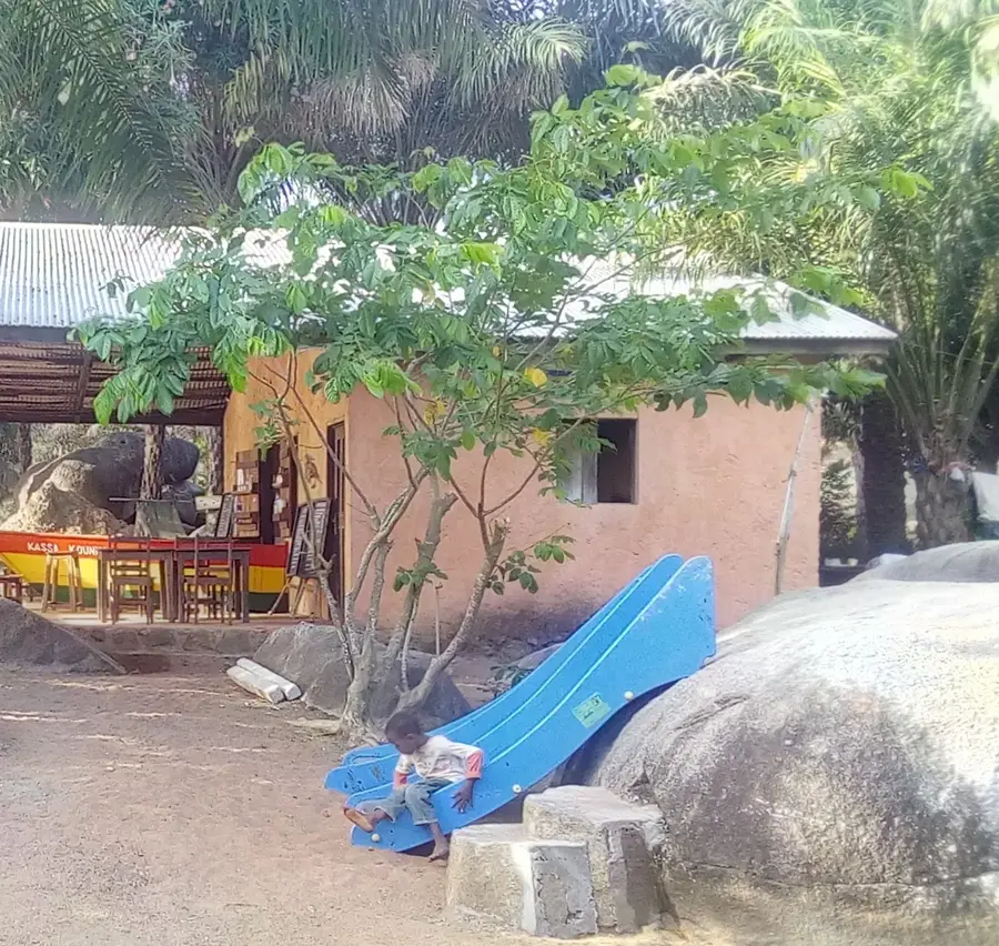
Sights nearby
💡 Tips
- Carry Guinean francs in small denominations for the busy border markets.
- Border trade means heavy traffic; plan extra time for your journeys.
- The rainy season makes roads muddy; a 4x4 vehicle is highly recommended.
- Check current yellow fever and visa requirements for border hops.
🍽 Food
Try this hearty dish at local market food stalls.
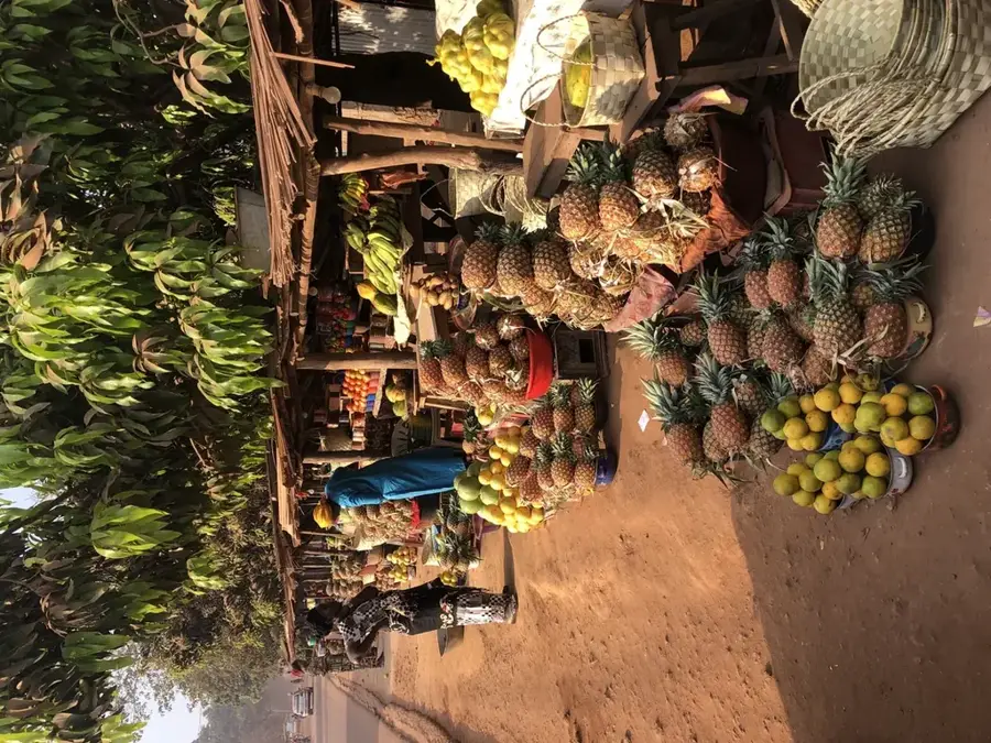
Buy these directly from street vendors during the season.
Best enjoyed fresh near the river crossings.
🛍 Shopping · 🧘 Quiet spots
Look for colorful West African textiles in the main market.
Buy fresh local spices and trade goods near the border posts.
Walk just outside the town center for a quiet break by the water.
Well-suited for a relaxing stroll away from the hustle of the markets.
Water temperature…
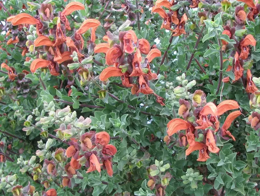
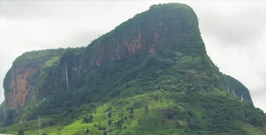
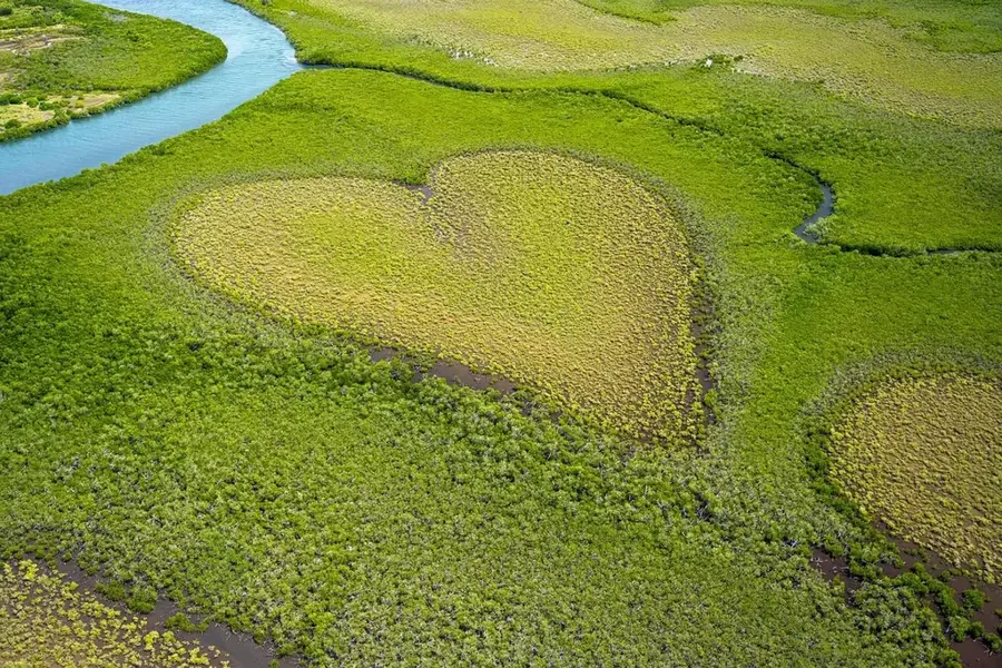
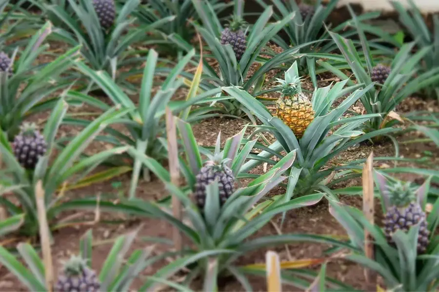
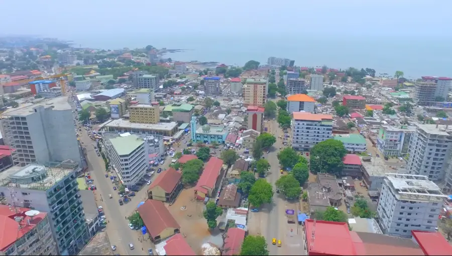
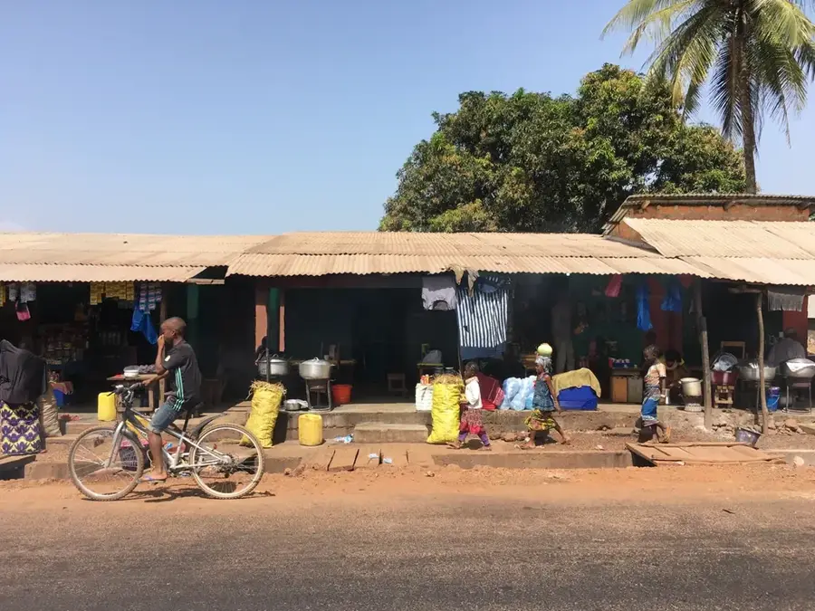
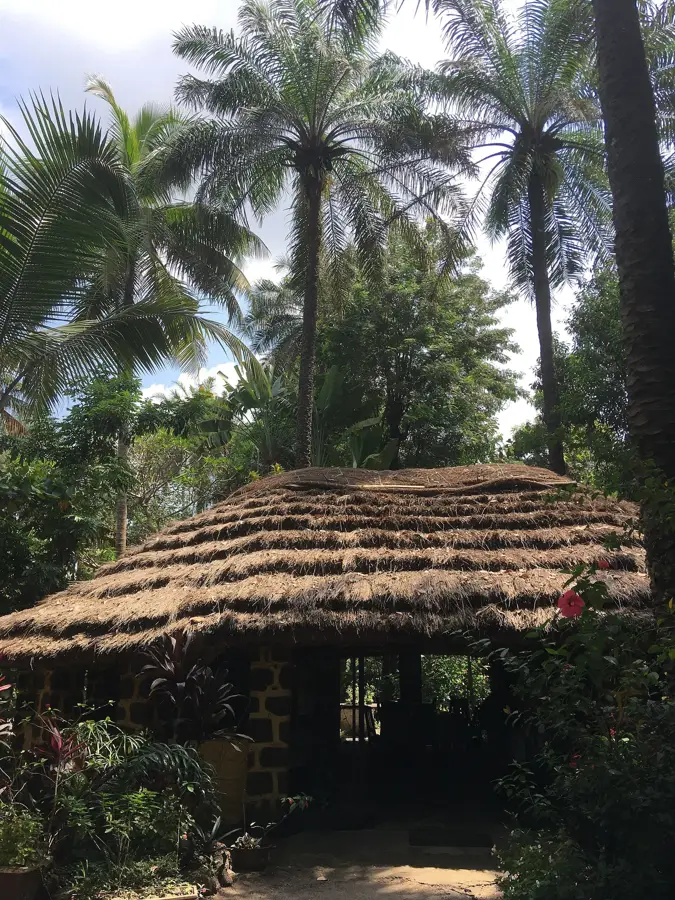
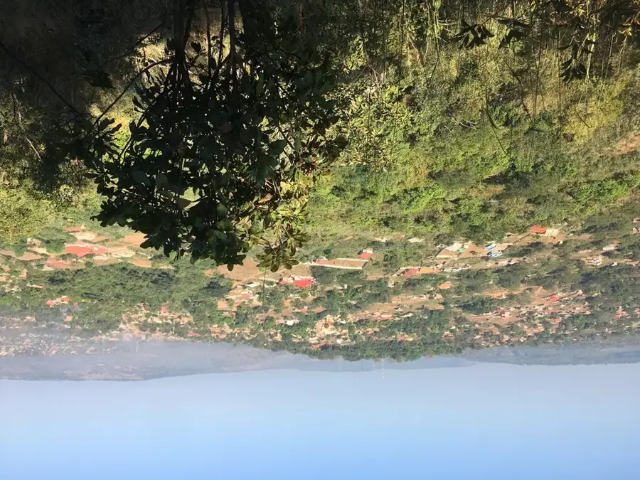
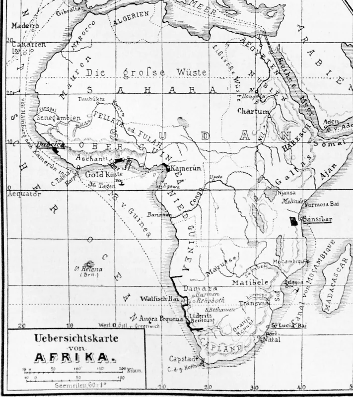
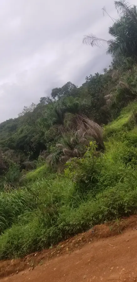
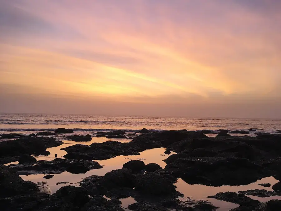
Forécariah is a significant city in southwestern Guinea, situated near the Atlantic coast and the border with Sierra Leone. The city lies on the banks of the Forécariah River within a fertile coastal plain that serves as a major agricultural center for the nation. The surrounding region is highly productive, specializing in the cultivation of rice, peanuts, oil palms, and tropical fruits like mangoes and pineapples. Historically, Forécariah emerged as an important administrative post during the colonial era, managing the coastal trade routes. Its strategic location on the highway connecting Conakry and Freetown makes it a vital hub for cross-border commerce and regional migration. The population is predominantly of the Susu ethnic group, whose language and cultural practices define the city's social character. In recent years, Forécariah has seen significant investment in healthcare and infrastructure following its role in regional health recovery efforts. The geography of the area is a scenic mix of coastal mangroves and rolling hills that lead toward the Fouta Djallon interior.
- Location: Guinea
- Nearby: Maférinyah (22 km)
- Population: ~23.350 (2023)
Best time to visit & climate
The most pleasant time to visit is Jan, Feb, Dec.
| Jan | Feb | Mar | Apr | May | Jun | Jul | Aug | Sep | Oct | Nov | Dec | |
|---|---|---|---|---|---|---|---|---|---|---|---|---|
| Avg °C | 26 | 28 | 29 | 29 | 28 | 26 | 25 | 24 | 25 | 25 | 26 | 25 |
| Rain mm | 0 | 4 | 3 | 25 | 117 | 365 | 811 | 930 | 451 | 178 | 55 | 3 |
Geography
Facts
- Forécariah is located approximately 100 kilometers from Conakry.
- The city sits at an elevation of about 25 meters above sea level.
- It is a major transit point for the Conakry-Freetown highway.
- The Forécariah Prefecture is known for its extensive iron ore deposits.
- The local economy relies heavily on cross-border trade with Sierra Leone.
- Mangrove forests are a dominant feature of the nearby coastal landscape.
Explore nearby
Notable places around
Route planner — Car & Motorhome
Where do you start? We build the route here, with stops and country notes along the way.
© OpenStreetMap contributors · OpenRouteService
Sights in the town Forécariah (1)
Frequently asked questions
Where is Forécariah located?
What is the economic base of the city?
Can you cross the border to Sierra Leone from here?
What is there to see in the surroundings?
How is the accessibility from Conakry?
Forécariah: where is it located?
Forécariah: when is the best time to visit?
Forécariah: why is it worth visiting?

Nearby cities

History & landmarks
Nature
More places