Plizio Visual Lab
Mount Tymfi
Weather…
Water temperature…
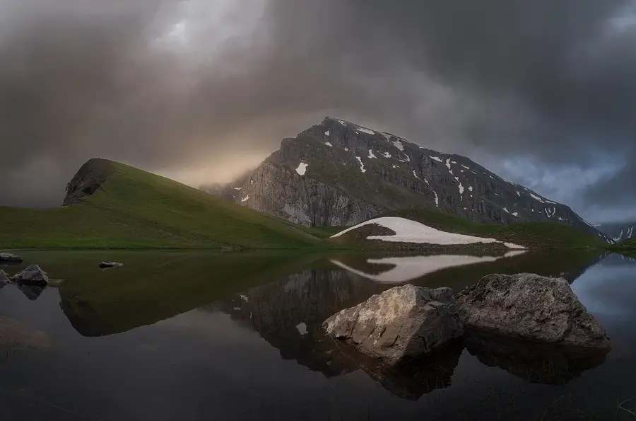
Mount Tymfi, located in the northern Pindus mountain range of Epirus, is a prominent limestone massif characterized by its rugged cliffs and diverse alpine ecosystems. Its highest peak, Gamila, reaches an elevation of 2,436 meters, while the iconic Astraka peak stands at 2,432 meters above sea level. The mountain is home to the spectacular Vikos Gorge, recognized as one of the deepest canyons globally relative to its width, and the alpine Dragon Lake (Drakolimni) situated at 2,050 meters. Geologically, the range consists mainly of Mesozoic limestone, which has been eroded into karst formations, deep sinkholes, and extensive cave systems. The area is protected within the Vikos, Aoös National Park, established in 1973 to safeguard rare species such as the Balkan chamois and the brown bear. Historically, the mountain's geography shaped the traditional architecture of the Zagori villages, which utilized local stone for their unique dwellings and bridges. Today, Tymfi serves as a premier destination for trekking, mountaineering, and geological research in Greece.
- Location: Greece
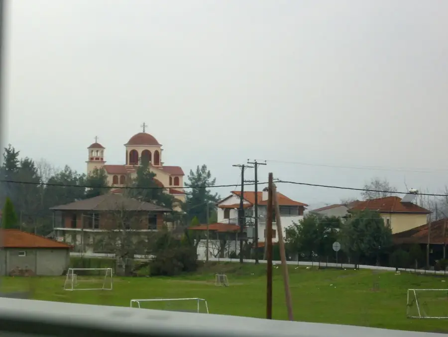
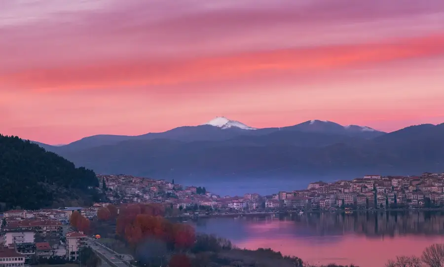
- Nearby: Papigo (7 km)
Best time to visit & climate
The most pleasant time to visit is Jun–Aug.
| Jan | Feb | Mar | Apr | May | Jun | Jul | Aug | Sep | Oct | Nov | Dec | |
|---|---|---|---|---|---|---|---|---|---|---|---|---|
| Avg °C | 1 | 2 | 5 | 9 | 14 | 19 | 23 | 23 | 17 | 12 | 7 | 2 |
| Rain mm | 64 | 59 | 56 | 44 | 50 | 37 | 28 | 29 | 60 | 74 | 76 | 84 |
📋 Practical info
Geography
Facts
- Highest peak Gamila reaches 2,436 meters.
- Features the Dragon Lake (Drakolimni) at 2,050 meters.
- Part of the Vikos–Aoös National Park since 1973.
- Composed primarily of Mesozoic limestone formations.
- The nearby Vikos Gorge is approximately 900 meters deep.
- Habitat for the endemic Balkan chamois species.
Explore nearby
Notable places around
Route planner — Car & Motorhome
Where do you start? We build the route here, with stops and country notes along the way.
© OpenStreetMap contributors · OpenRouteService
Sights in the town Mount Tymfi (1)
Sights nearby
Frequently asked questions
What is the Dragon Lake on Tymfi?
Which villages are good starting points?
Are the Tymfi mountains part of a national park?
How high is the highest peak, Gamila?
Can you see the Vikos Gorge from Tymfi?
Mount Tymfi: where is it located?
Mount Tymfi: when is the best time to visit?
Mount Tymfi: why is it worth visiting?

Nearby cities