Plizio Visual Lab
Mount Mitsikeli
Weather…
Water temperature…
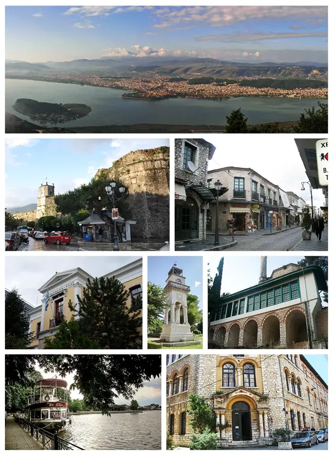
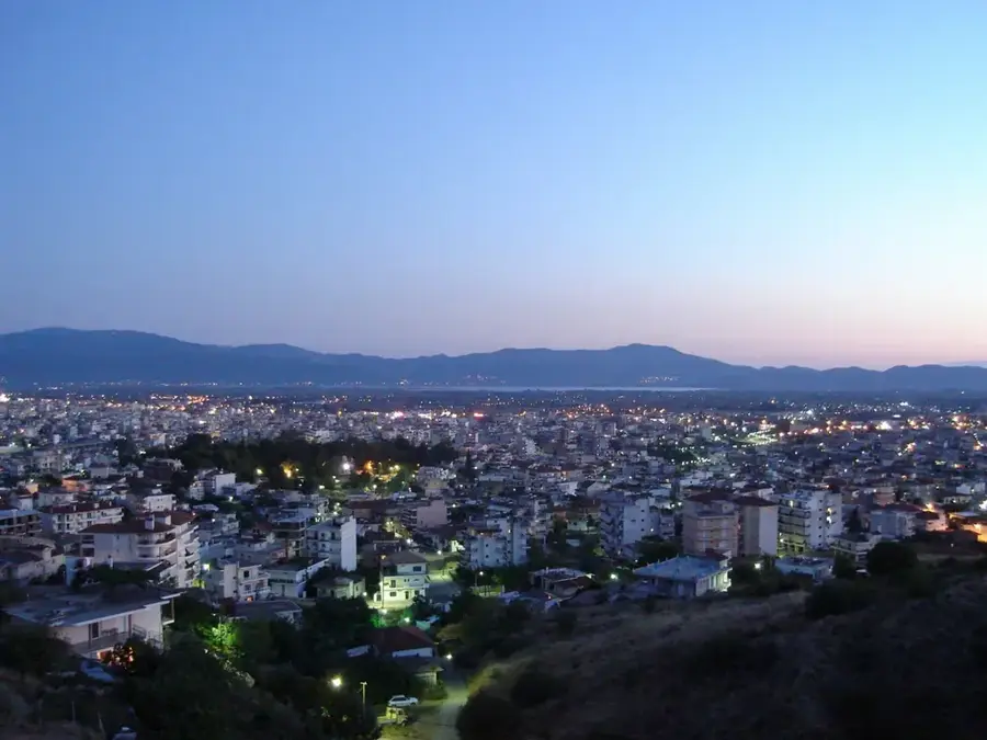
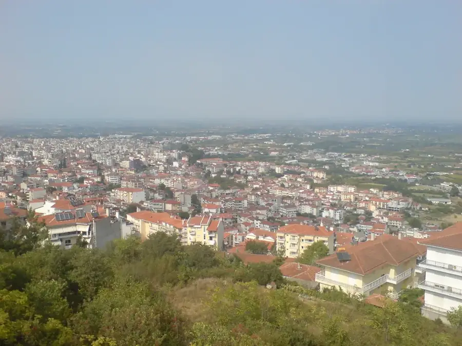
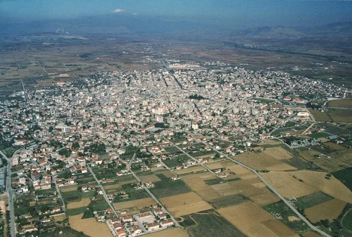
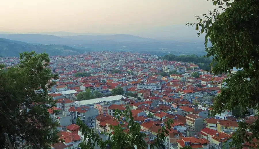
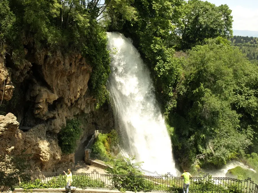
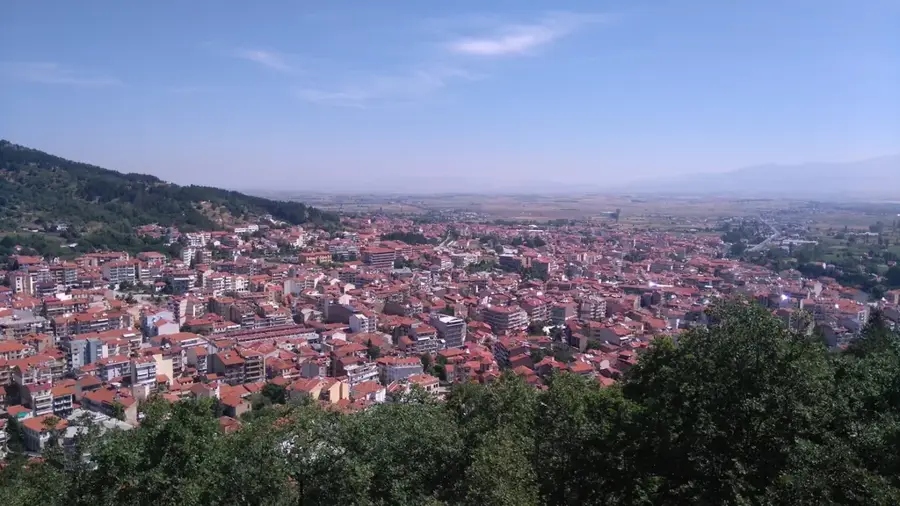
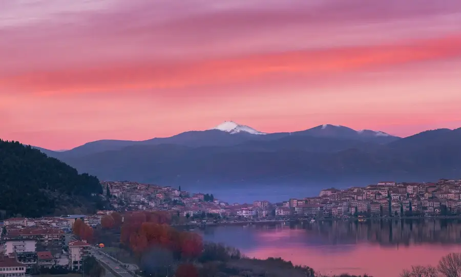
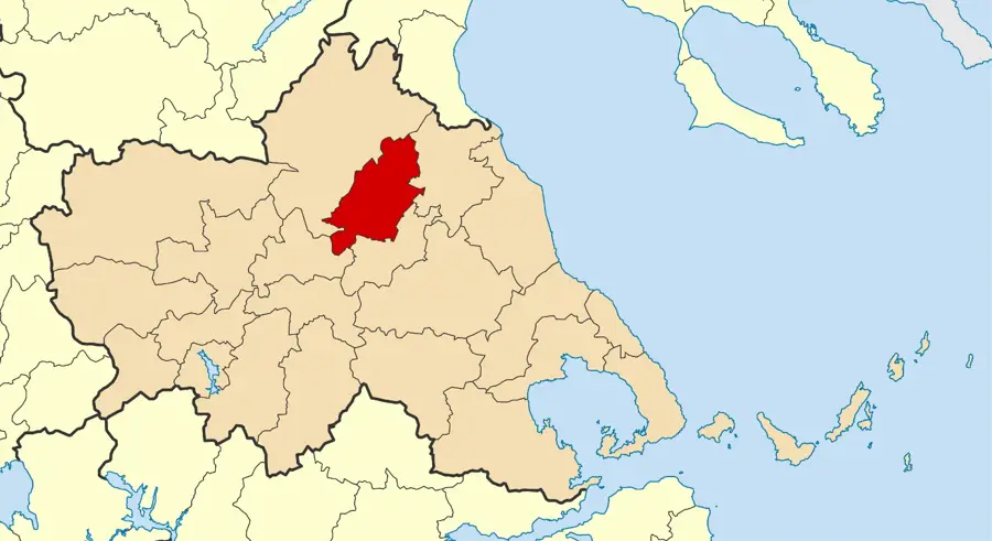
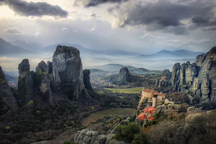
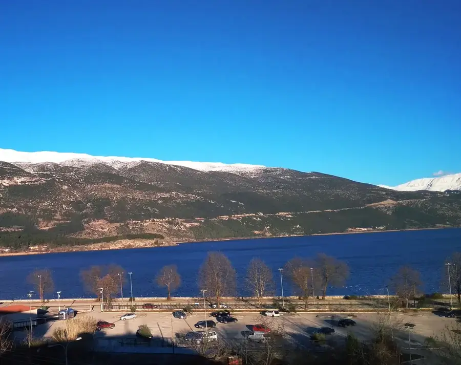
Mount Mitsikeli is a prominent limestone mountain range in the Epirus region of northwestern Greece, rising to an elevation of 1,810 meters. It stretches for approximately 35 kilometers along the northeastern shore of Lake Pamvotis, providing a striking backdrop to the historic city of Ioannina. Geologically, the range is part of the larger Pindus mountain system and is characterized by its rugged karst topography, featuring numerous caves and sinkholes that are vital for the local hydrology. Historically, the mountain served as a strategic natural defense and was significant during the Ottoman era and the Greek struggles for independence. The name Mitsikeli is of Slavic origin, meaning "small bridge," which likely refers to its historical importance as a crossing point for mountain trails and trade routes. Today, it remains an important ecological site, hosting diverse flora and fauna, and its springs are essential for supplying fresh water to the surrounding agricultural and urban areas.
- Location: Greece
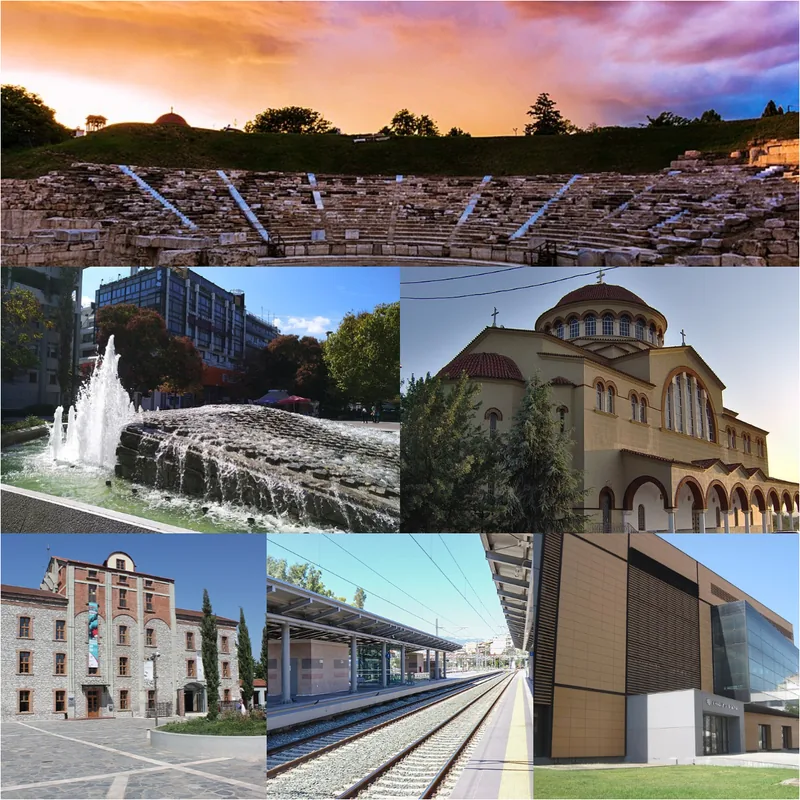
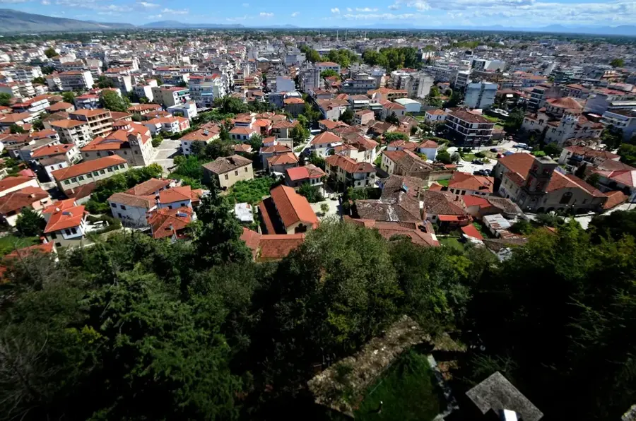
- Nearby: Ioannina (10 km)
Best time to visit & climate
The most pleasant time to visit is Jun–Aug.
| Jan | Feb | Mar | Apr | May | Jun | Jul | Aug | Sep | Oct | Nov | Dec | |
|---|---|---|---|---|---|---|---|---|---|---|---|---|
| Avg °C | 1 | 2 | 5 | 9 | 14 | 19 | 23 | 23 | 17 | 12 | 7 | 2 |
| Rain mm | 64 | 59 | 56 | 44 | 50 | 37 | 28 | 29 | 60 | 74 | 76 | 84 |
📋 Practical info
Geography
Facts
- The highest peak reaches 1,810 meters.
- The range extends for about 35 kilometers.
- Composed mainly of karstic limestone rock.
- Located on the shore of Lake Pamvotis.
- The name Mitsikeli means "small bridge" in Slavic.
- Provides vital spring water for Ioannina city.
Explore nearby
Notable places around
Route planner — Car & Motorhome
Where do you start? We build the route here, with stops and country notes along the way.
© OpenStreetMap contributors · OpenRouteService
Sights in the town Mount Mitsikeli (1)
Sights nearby
Frequently asked questions
Where is the Mitsikeli mountain range located?
What is the highest point?
What is the view like from the summit?
Are there caves on Mitsikeli?
Can you go hiking there?
Mount Mitsikeli: where is it located?
Mount Mitsikeli: when is the best time to visit?
Mount Mitsikeli: why is it worth visiting?

Nearby cities