Plizio Visual Lab
Mount Belles
Weather…
Water temperature…
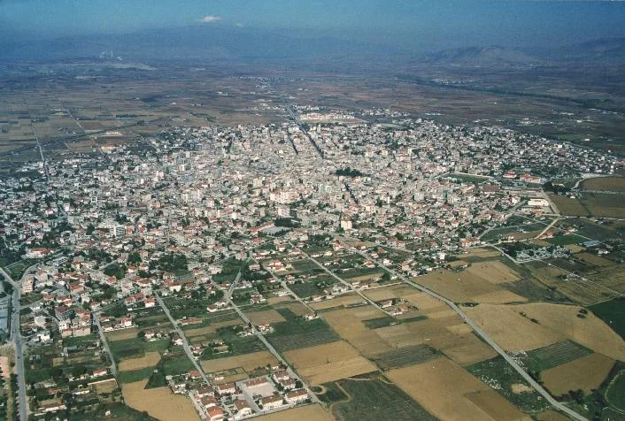
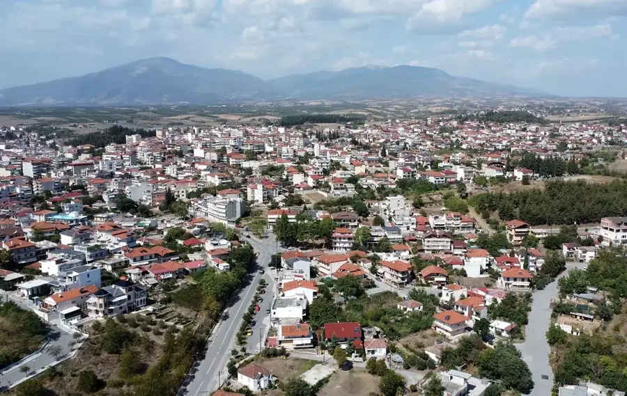
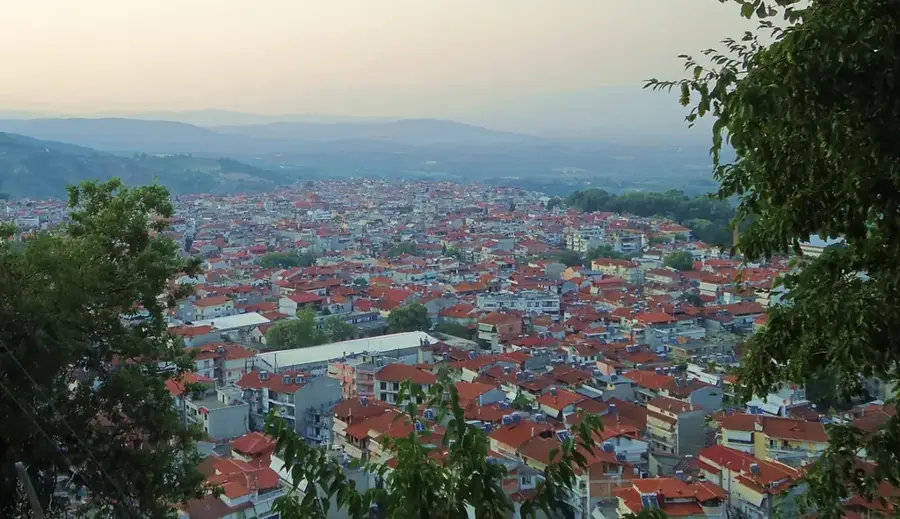
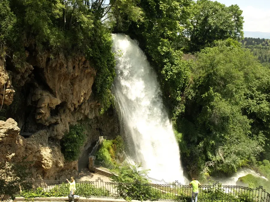
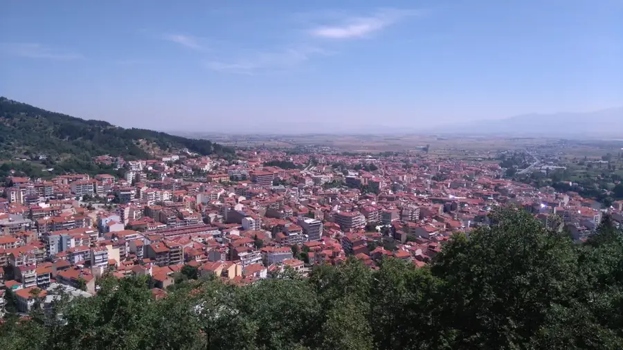
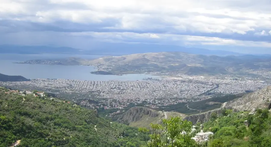
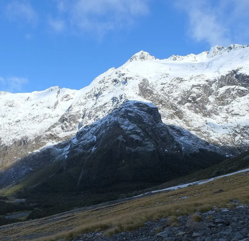
Mount Belles, also known as Belasica, is a prominent mountain range in northern Greece, forming the natural border with Bulgaria and North Macedonia. Its highest peak on Greek territory, Radomir, reaches an elevation of 2,029 meters, and the range extends for approximately 60 kilometers from east to west. The landscape is characterized by dense forests of beech, chestnut, and oak, which support a rich variety of wildlife, including large carnivores like bears and wolves. Historically, the mountain was the site of the Battle of Kleidion in 1014, a decisive engagement between the Byzantine and Bulgarian Empires. Geologically, the massif is composed of ancient crystalline schists and granite. At the mountain's southern foot lies Lake Doiran, a shared transboundary lake that is an important wetland habitat. Today, the Belles range is a designated national park, offering extensive trails for hiking, mountain biking, and birdwatching in a serene border environment.
- Location: Greece
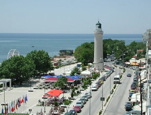
- Nearby: Lake Kerkini (17 km)
Best time to visit & climate
The most pleasant time to visit is Jun–Aug.
| Jan | Feb | Mar | Apr | May | Jun | Jul | Aug | Sep | Oct | Nov | Dec | |
|---|---|---|---|---|---|---|---|---|---|---|---|---|
| Avg °C | -1 | 1 | 4 | 9 | 14 | 19 | 22 | 22 | 17 | 11 | 6 | 1 |
| Rain mm | 53 | 43 | 55 | 51 | 60 | 62 | 44 | 35 | 48 | 53 | 46 | 62 |
📋 Practical info
Geography
Facts
- The highest peak, Radomir, stands at 2,029 meters.
- The mountain range is 60 kilometers long.
- It marks the triple border point of Greece, Bulgaria, and North Macedonia.
- The Battle of Kleidion occurred in its passes in 1014.
- Belles is protected as a National Park since 2003.
- The southern slopes overlook the fertile Serres plain.
Explore nearby
Notable places around
Route planner — Car & Motorhome
Where do you start? We build the route here, with stops and country notes along the way.
© OpenStreetMap contributors · OpenRouteService
Sights nearby
Frequently asked questions
What is another name for the Belles mountains?
Where is the mountain located?
How high is the highest peak in Greece?
What sight is located at the foot of the mountain?
Can you visit the summit region?
Mount Belles: where is it located?
Mount Belles: when is the best time to visit?
Mount Belles: why is it worth visiting?

Nearby cities