Plizio Visual Lab
Struma River
Weather…
Water temperature…
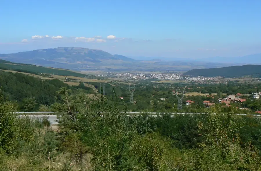
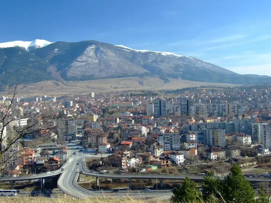
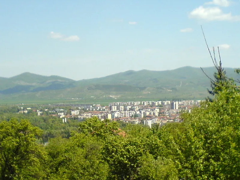
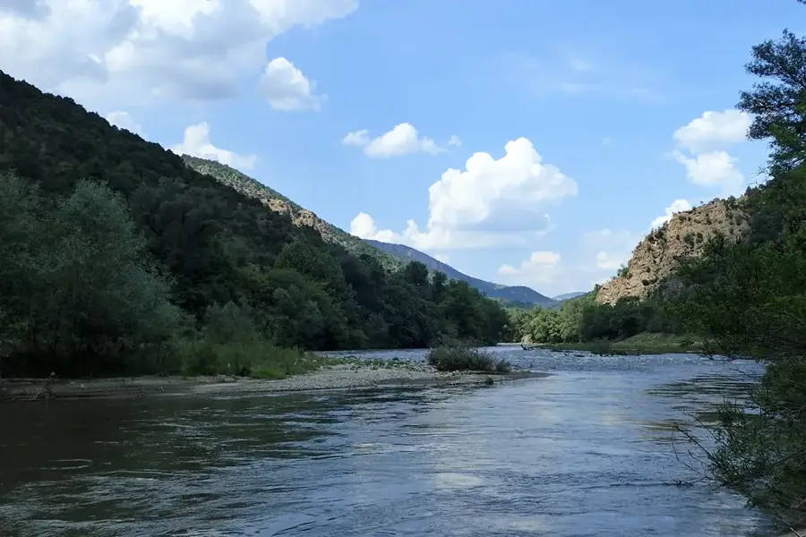
The Struma River is a major waterway in southwestern Bulgaria and northern Greece, covering a total distance of 415 kilometers. It rises on the southern slopes of Mount Vitosha at an altitude of 2,180 meters and flows southward through a series of valleys and dramatic gorges. The Kresna Gorge is its most famous geological feature, renowned for its exceptional biodiversity and a unique microclimate where Mediterranean and continental influences overlap. The Struma Valley is the warmest region in Bulgaria, making it well-suited for the cultivation of tobacco, grapes, and early-season vegetables. Historically, the river has functioned as a crucial transport corridor connecting the Balkan interior with the Aegean coast. In modern times, the river is a top destination for white-water rafting and kayaking, particularly during the spring melt. The Struma eventually empties into the Strymonic Gulf of the Aegean Sea near the ancient city of Amphipolis in Greece.
- Location: Bulgaria
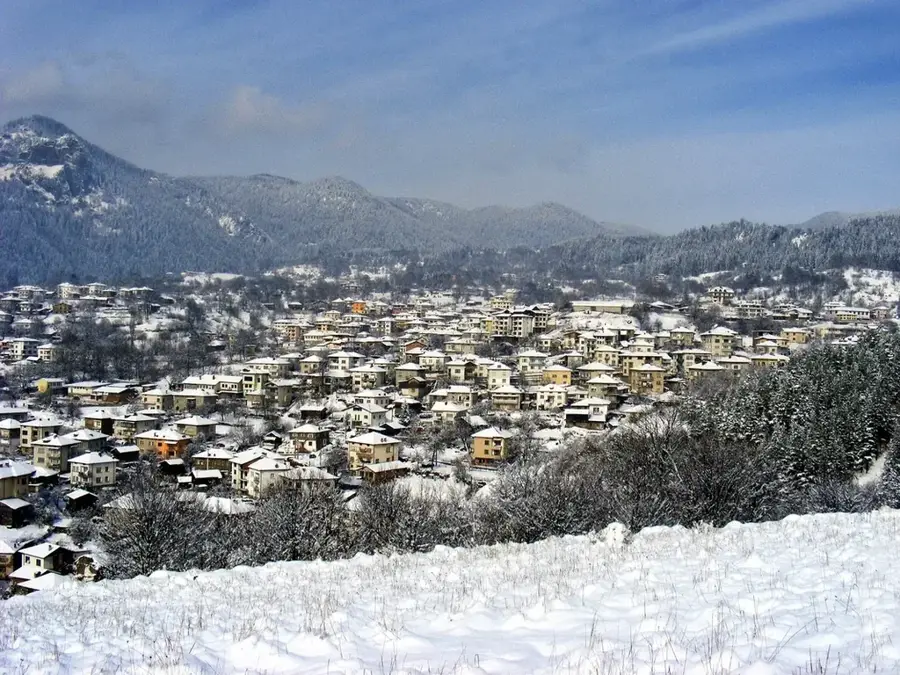
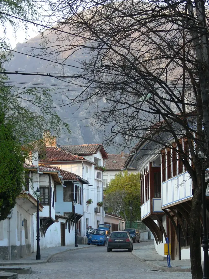
- Top sights: Topolnitsa, Blagoevgrad Province · Drangovo, Blagoevgrad Province
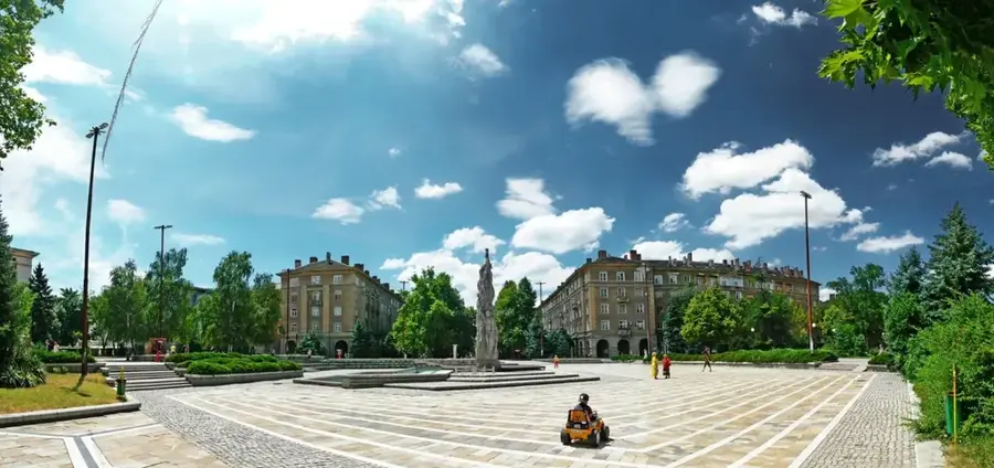
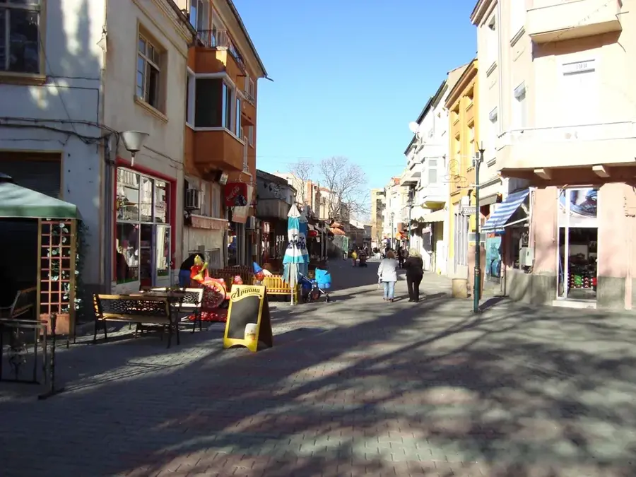
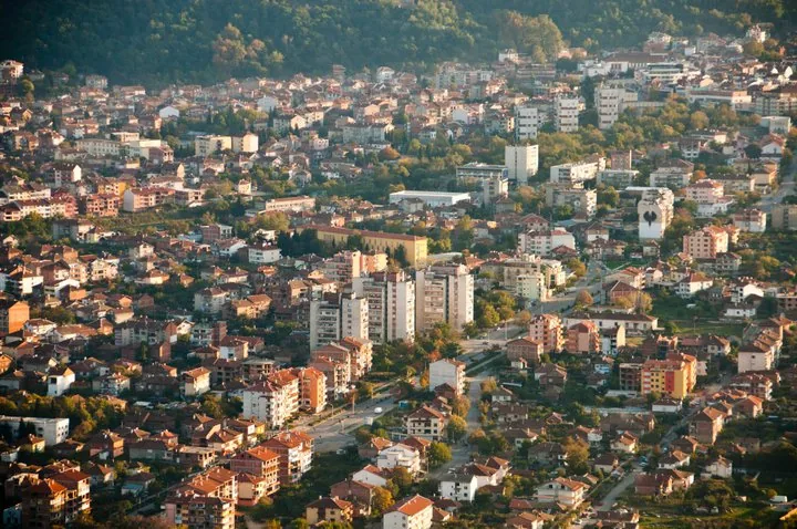
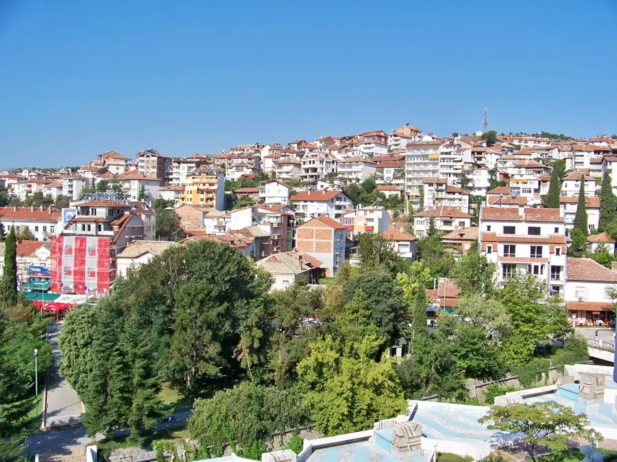
- Nearby: Petrich (7 km)
Best time to visit & climate
The most pleasant time to visit is Jun–Aug.
| Jan | Feb | Mar | Apr | May | Jun | Jul | Aug | Sep | Oct | Nov | Dec | |
|---|---|---|---|---|---|---|---|---|---|---|---|---|
| Avg °C | -1 | 1 | 4 | 9 | 14 | 19 | 22 | 22 | 17 | 11 | 6 | 1 |
| Rain mm | 53 | 43 | 55 | 51 | 60 | 62 | 44 | 35 | 48 | 53 | 46 | 62 |
📋 Practical info
Geography
Facts
- The total length of the Struma River is 415 kilometers.
- The river originates at 2,180 meters on the slopes of Vitosha.
- Approximately 290 kilometers of its course are located in Bulgaria.
- The Kresna Gorge is a protected area over 17 kilometers long.
- The Struma flows into the Strymonic Gulf near Amphipolis.
- It provides irrigation for some of the most fertile lands in Bulgaria.
Explore nearby
Notable places around
Route planner — Car & Motorhome
Where do you start? We build the route here, with stops and country notes along the way.
© OpenStreetMap contributors · OpenRouteService
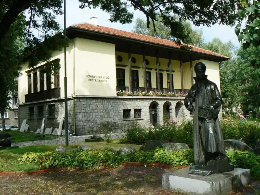
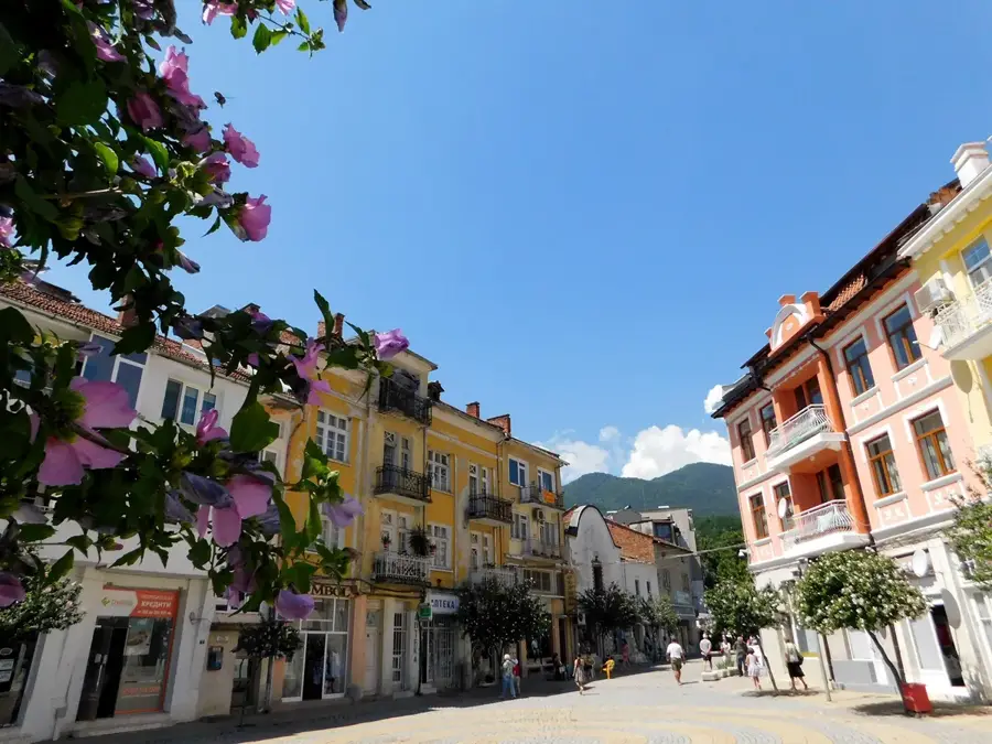
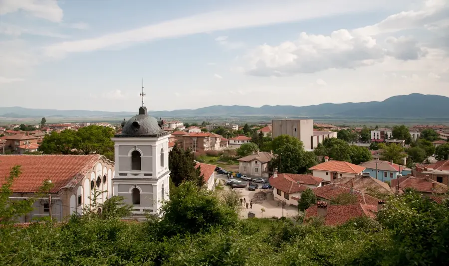
Sights in the town Struma River (2)
Sights nearby
Frequently asked questions
Where does the Struma start its course?
Is the Struma suitable for rafting?
Which countries does the Struma flow through?
How long is the Bulgarian section?
What is the Struma Valley known for?
Struma River: where is it located?
Struma River: what is there to see?
Struma River: when is the best time to visit?
Struma River: why is it worth visiting?

Nearby cities