Plizio Visual Lab
Mount Agrafa
Weather…
Water temperature…
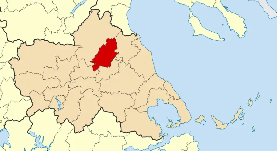
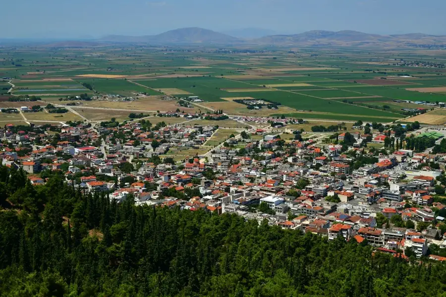
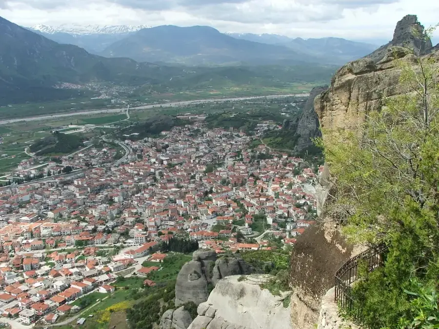
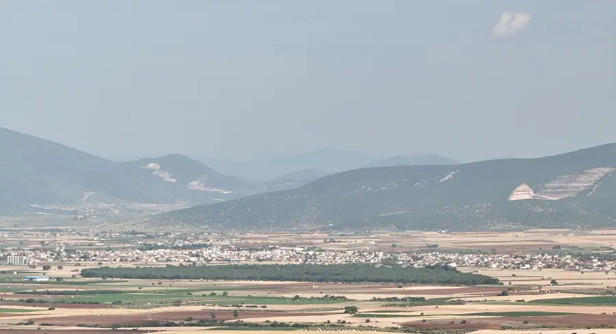
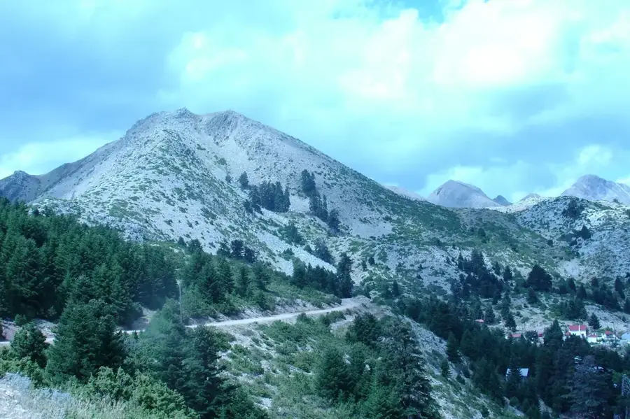
Agrafa is a rugged and remote mountain range in the central Pindus system, spanning the regional units of Evrytania and Karditsa. Its highest peak, Karava, rises to 2,184 meters, making it part of one of the most inaccessible regions in Greece. The name 'Agrafa' literally translates to 'unwritten,' a reference to the fact that the region was so isolated and defiant that it was omitted from Ottoman tax registers. Geologically, the area is defined by sharp ridges, deep ravines, and a mix of limestone and flysch formations. Throughout history, Agrafa has been a stronghold for Greek resistance movements, from the War of Independence to World War II. In the 1950s, the creation of the artificial Lake Plastiras on its eastern fringes significantly altered the local geography. Today, Agrafa attracts adventure travelers seeking pristine wilderness and traditional villages that have remained largely unchanged by modern development.
- Location: Greece
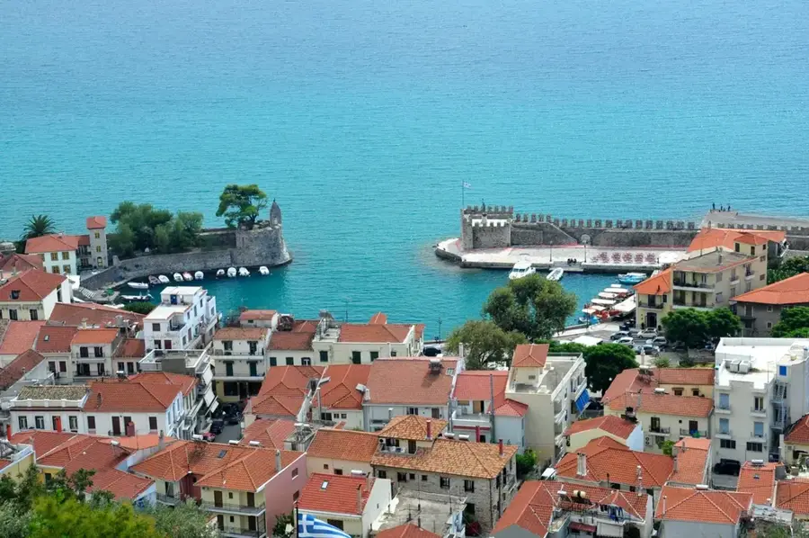
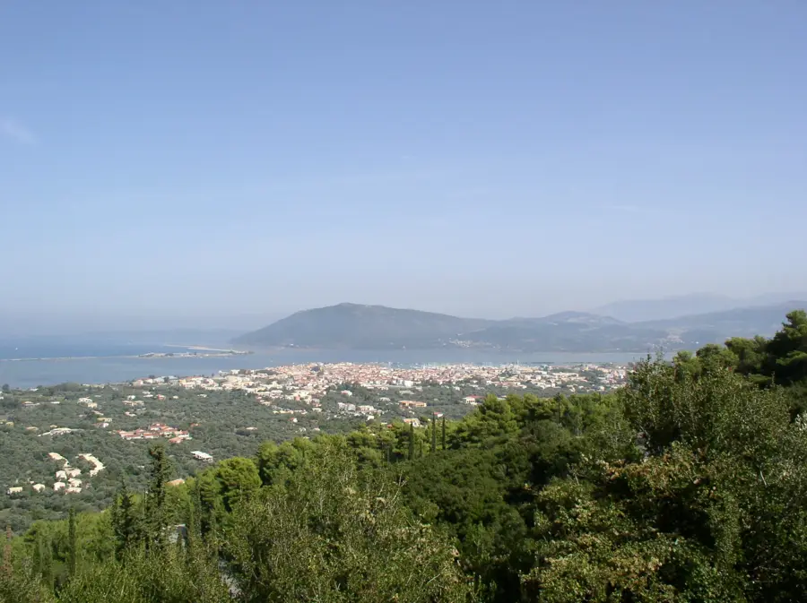
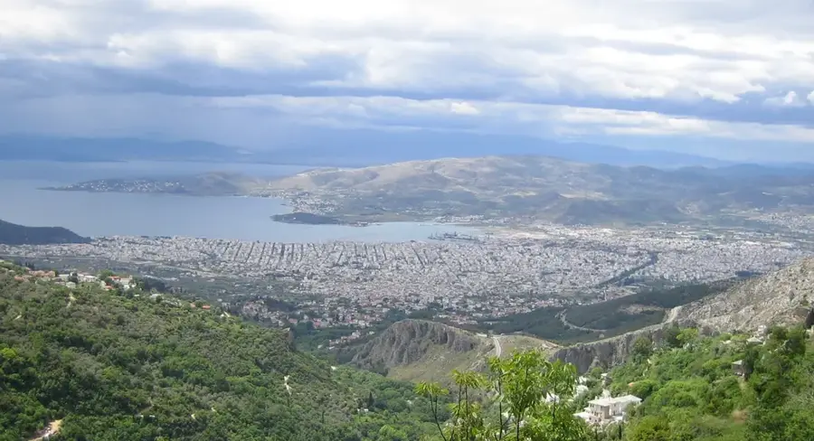
- Nearby: Plastiras Lake (19 km)
Best time to visit & climate
The most pleasant time to visit is May, Jun, Sep.
| Jan | Feb | Mar | Apr | May | Jun | Jul | Aug | Sep | Oct | Nov | Dec | |
|---|---|---|---|---|---|---|---|---|---|---|---|---|
| Avg °C | 5 | 6 | 9 | 13 | 18 | 23 | 27 | 27 | 21 | 16 | 11 | 7 |
| Rain mm | 101 | 81 | 72 | 44 | 37 | 22 | 18 | 19 | 68 | 92 | 108 | 127 |
📋 Practical info
Geography
Facts
- The highest summit, Karava, reaches 2,184 meters.
- The range includes over 70 peaks exceeding 2,000 meters in height.
- Lake Plastiras was formed in 1959 by damming the Tavropos River.
- The region maintained a de facto autonomy during the Ottoman rule.
- The Agrafiotis River flows through the center of the massif.
- Access to many villages remains challenging due to the steep terrain.
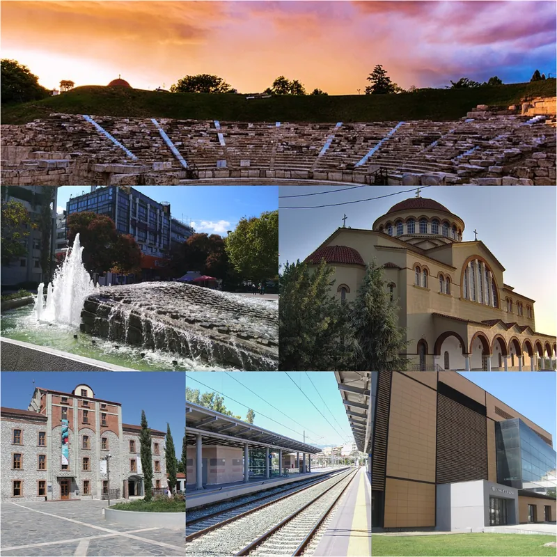
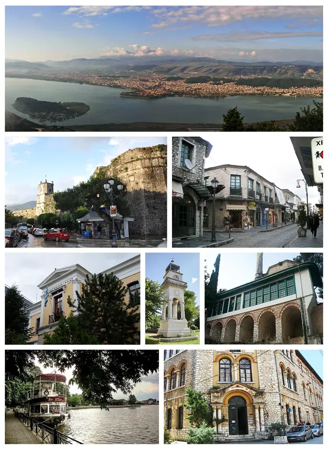
Explore nearby
Notable places around
Route planner — Car & Motorhome
Where do you start? We build the route here, with stops and country notes along the way.
© OpenStreetMap contributors · OpenRouteService
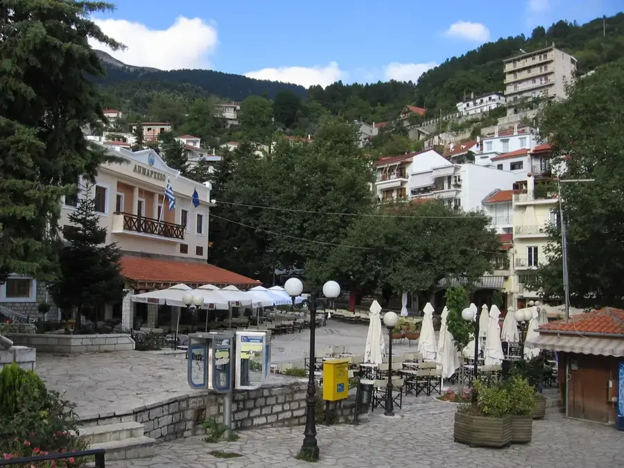
Sights in the town Mount Agrafa (1)
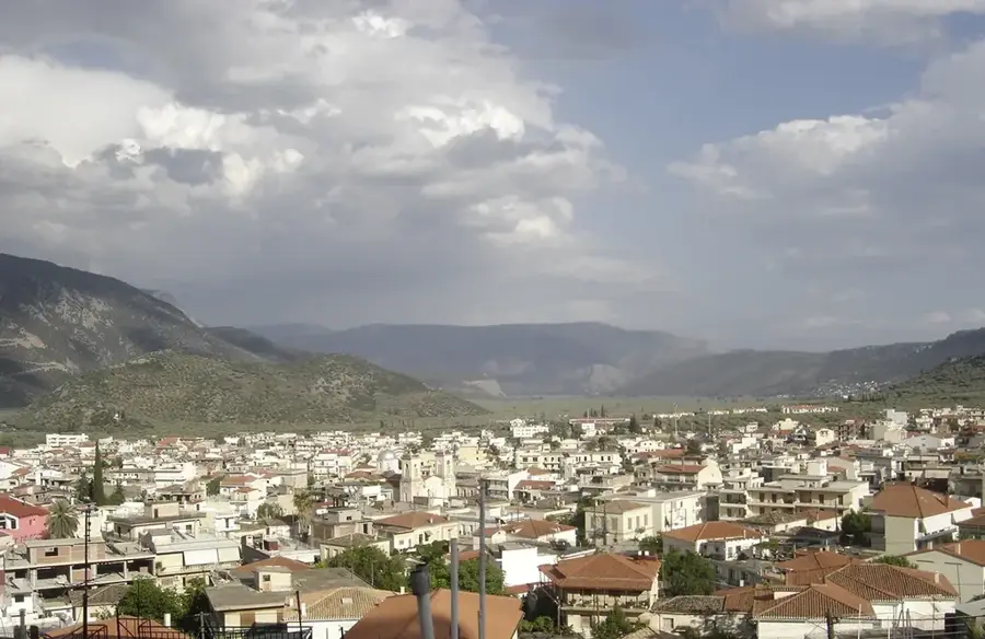
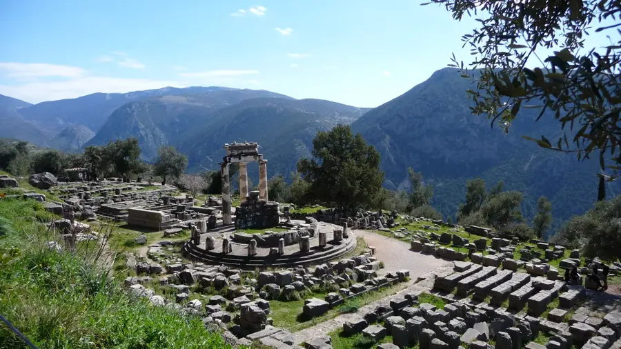
Sights nearby
Frequently asked questions
Why is the mountain range called 'Agrafa'?
Where is this region located?
What is the biggest attraction nearby?
What is the terrain like?
Are the roads good?
Mount Agrafa: where is it located?
Mount Agrafa: when is the best time to visit?
Mount Agrafa: why is it worth visiting?

Nearby cities