Plizio Visual Lab
Mount Diklosmta
Weather…
Water temperature…
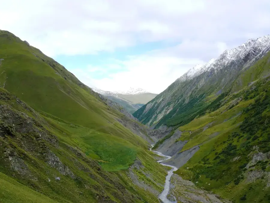
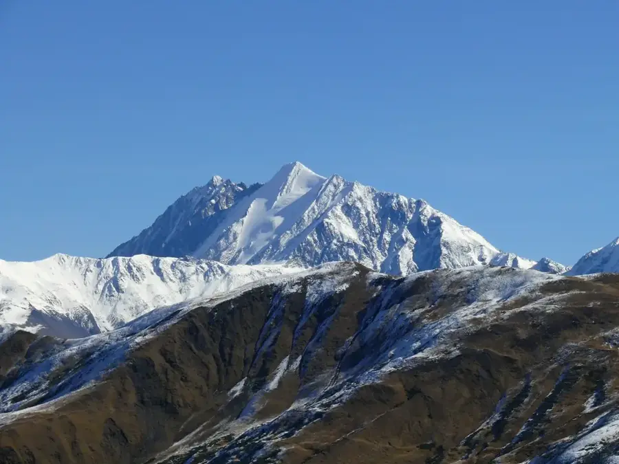
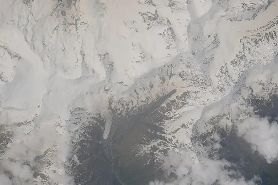
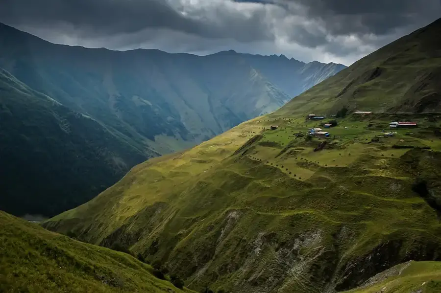
Diklosmta is a prominent mountain massif located in the eastern part of the Greater Caucasus, situated on the border between Georgia, Chechnya, and Dagestan. Rising to an elevation of 4285 meters, it is the highest peak of the Pirikiti Range and a dominant feature of the regional skyline. Geologically, the massif is composed of Lower Jurassic clay shales and sandstones, which contribute to its characteristically dark and rugged appearance. The area surrounding Diklosmta remains one of the most pristine wilderness regions in the Caucasus, rarely visited due to its extreme remoteness and challenging terrain. The mountain supports several glaciers that serve as vital water sources for the valleys of Tusheti and Dagestan. Historically, this region acted as a natural frontier between various Caucasian highlander groups, evidenced by the medieval defensive towers found in nearby settlements. Climbing Diklosmta requires high technical proficiency and careful logistical planning given its transboundary location and volatile weather patterns. It is currently part of the Tusheti National Park, a key biodiversity area in Georgia.
- Location: Georgia
- Nearby: Omalo (20 km)
Best time to visit & climate
The most pleasant time to visit is Jun–Aug.
| Jan | Feb | Mar | Apr | May | Jun | Jul | Aug | Sep | Oct | Nov | Dec | |
|---|---|---|---|---|---|---|---|---|---|---|---|---|
| Avg °C | -8 | -7 | -2 | 3 | 8 | 13 | 16 | 16 | 12 | 6 | -1 | -6 |
| Rain mm | 26 | 26 | 37 | 52 | 70 | 59 | 47 | 44 | 45 | 46 | 30 | 24 |
📋 Practical info
Geography
Facts
- The peak of Diklosmta reaches an altitude of 4285 meters.
- It sits at the tripoint of Georgia, Chechnya, and Dagestan.
- The mountain is primarily composed of Lower Jurassic shales and sandstones.
- It is recognized as the highest summit of the Pirikiti Range.
- Glaciers on its slopes cover an estimated area of 2 square kilometers.
- The mountain is located within the borders of the Tusheti National Park.
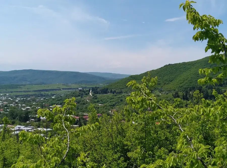
Explore nearby
Notable places around
Route planner — Car & Motorhome
Where do you start? We build the route here, with stops and country notes along the way.
© OpenStreetMap contributors · OpenRouteService
Sights in the town Mount Diklosmta (1)
Sights nearby
Frequently asked questions
Where is Diklosmta located?
How high is the mountain?
What does the name mean?
Are there glaciers on Diklosmta?
Is the mountain accessible to tourists?
Mount Diklosmta: where is it located?
Mount Diklosmta: when is the best time to visit?
Mount Diklosmta: why is it worth visiting?

Nearby cities

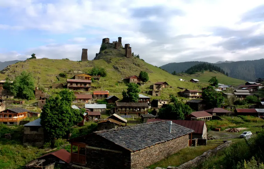
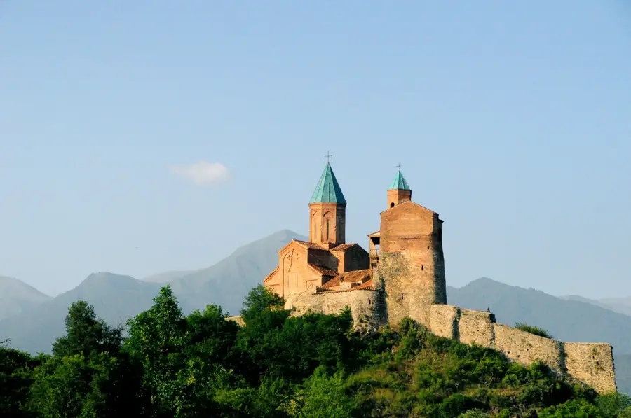
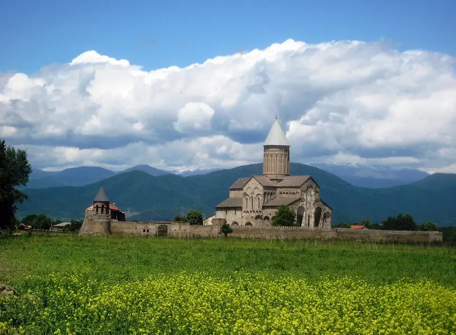
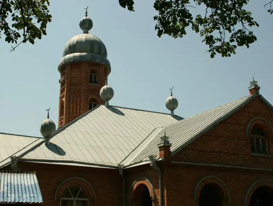
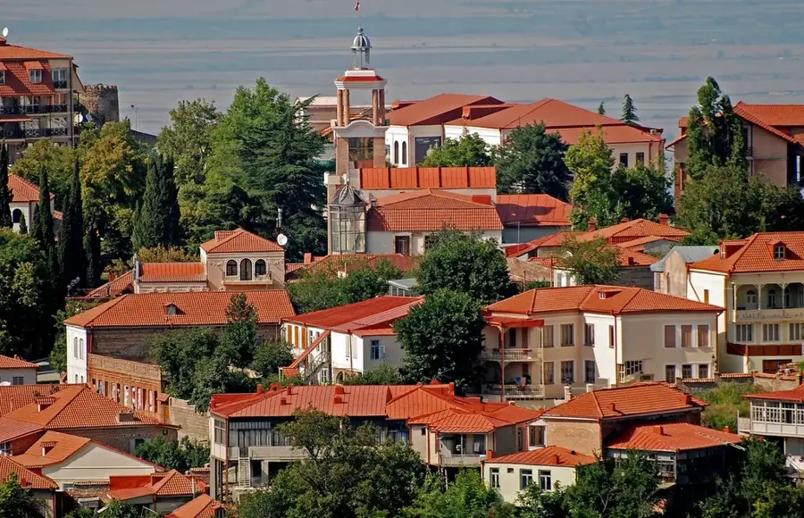
History & landmarks
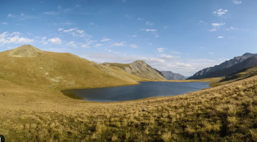
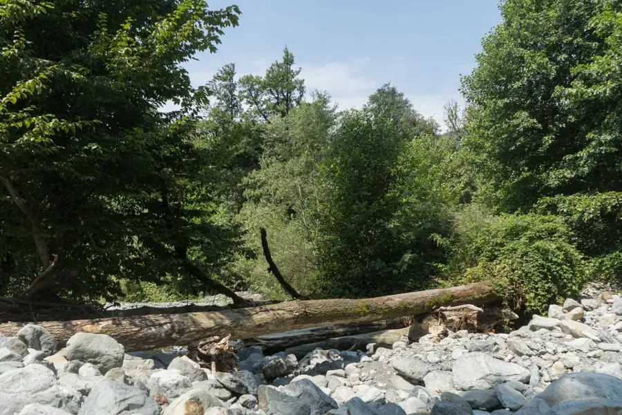
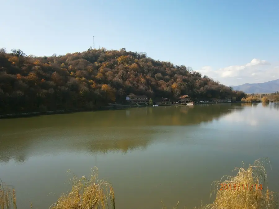
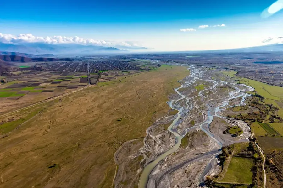
Nature
More places