Plizio Visual Lab
Pic Coudreau
Weather…
Water temperature…
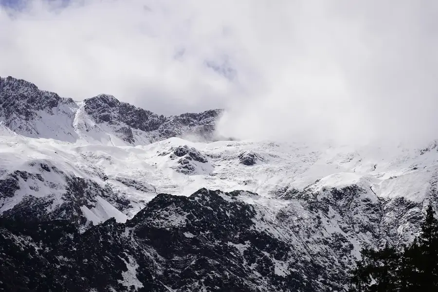
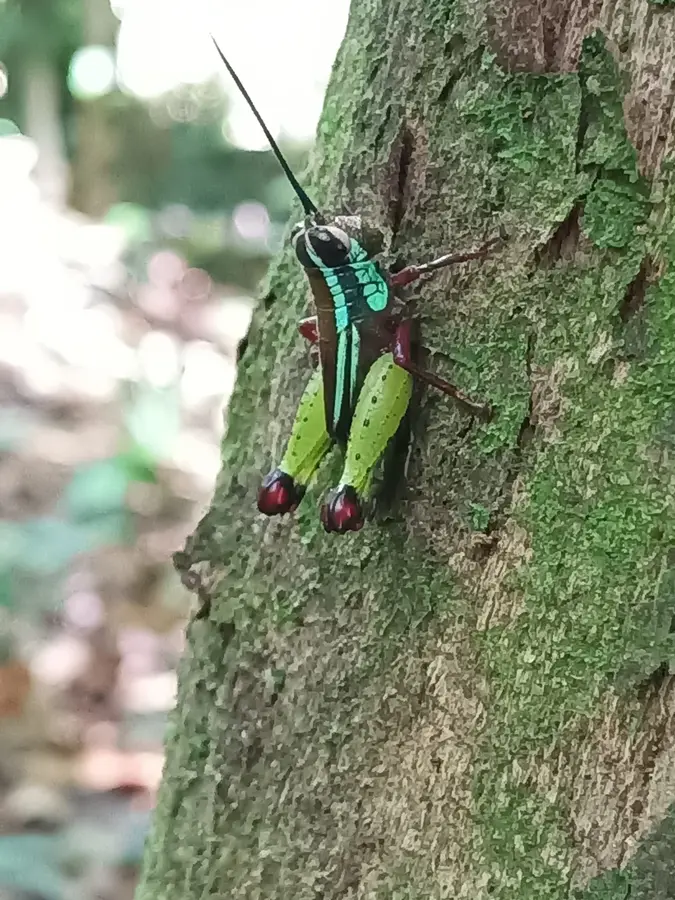
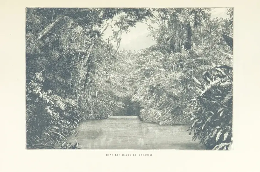
Pic Coudreau is one of the most distinctive peaks in the central highlands of French Guiana, named after the famous French explorer Henri Coudreau, who mapped the region in the late 19th century. Rising to an altitude of approximately 711 meters, it stands out above the surrounding rainforest plateau, providing an important landmark for navigation in the dense jungle. Geologically, the mountain consists of ancient granite formations of the Guiana Shield, shaped over hundreds of millions of years by tropical weathering. The vegetation on Pic Coudreau is particularly diverse and shows adaptation to higher altitudes, including rare epiphytes and ferns that thrive in the moist mountain air. As the mountain is located in one of the most remote parts of the territory, it is accessible almost exclusively by helicopter or through extremely demanding expeditions. This has allowed the local wildlife, including jaguars and rare bird species, to live here undisturbed. Pic Coudreau remains a symbol of the unexplored wilderness and the scientific challenge of exploring Amazonia.
Best time to visit & climate
The most pleasant time to visit is Aug–Oct.
| Jan | Feb | Mar | Apr | May | Jun | Jul | Aug | Sep | Oct | Nov | Dec | |
|---|---|---|---|---|---|---|---|---|---|---|---|---|
| Avg °C | 25 | 25 | 25 | 25 | 25 | 25 | 25 | 25 | 27 | 28 | 28 | 26 |
| Rain mm | 211 | 224 | 259 | 306 | 328 | 249 | 182 | 107 | 46 | 61 | 83 | 190 |
📋 Practical info
Geography
Facts
- Pic Coudreau stands at an elevation of 711 meters.
- It was named in honor of explorer Henri Coudreau (1859-1899).
- The mountain is located in the central Inini region.
- Geologically, it belongs to the crystalline basement of the Guiana Shield.
- The annual rainfall here can exceed 3,500 mm.
- The region was only accurately mapped from the air in the 1950s.
Explore nearby
Notable places around
Route planner — Car & Motorhome
Where do you start? We build the route here, with stops and country notes along the way.
© OpenStreetMap contributors · OpenRouteService
Sights in the town Pic Coudreau (1)
Sights nearby
Frequently asked questions
What is the Pic Coudreau?
How high is Pic Coudreau?
Is Pic Coudreau accessible for hikers?
Where exactly is Pic Coudreau located?
What type of rock is found there?
Pic Coudreau: where is it located?
Pic Coudreau: when is the best time to visit?
Pic Coudreau: why is it worth visiting?

Nearby cities

History & landmarks

Nature
More places