Plizio Visual Lab
Mont Itoupé

Weather…
Water temperature…
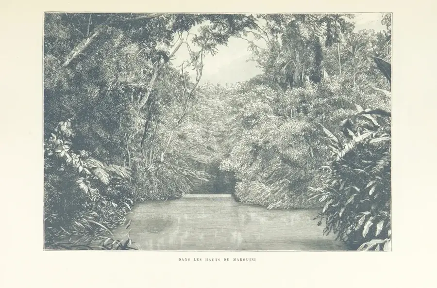
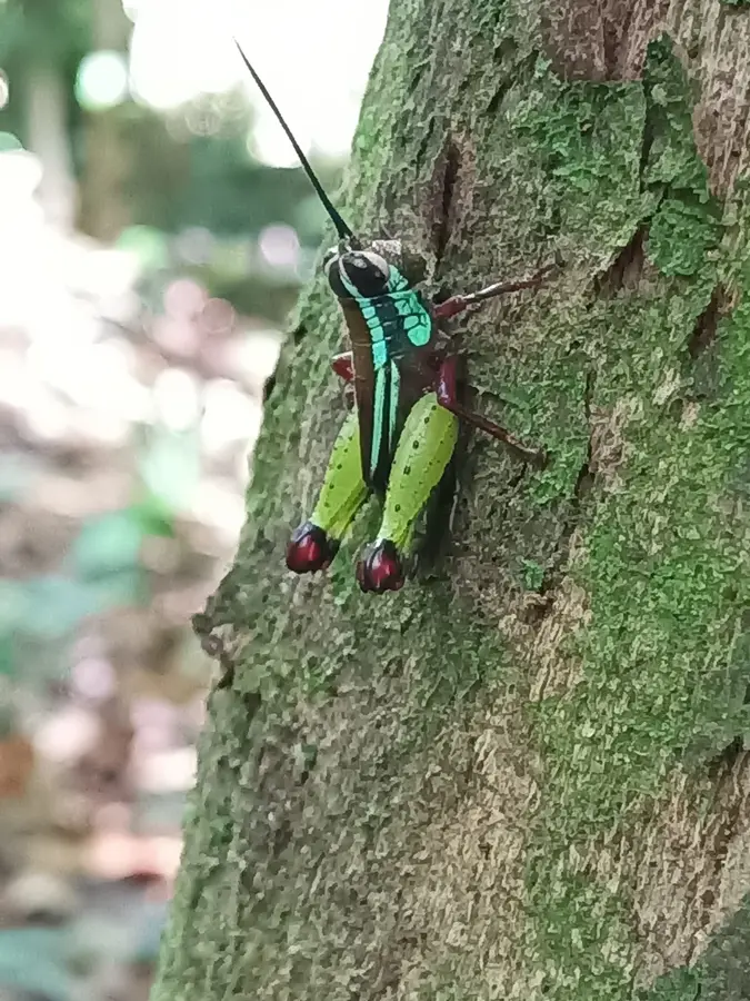
Mont Itoupé, standing at 826 meters, is the second-highest peak in French Guiana, located in the southern part of the territory deep within the Amazonian rainforest. It belongs to the Tabulaire mountain massif and is characterized by its steep slopes and dense cloud forest vegetation in the summit regions. This environment creates a microclimate that differs significantly from the surrounding lowlands, boasting an extremely high rate of endemism among plants and amphibians. Scientifically, the mountain is of great importance as it is considered a refuge for species that survived there during past climatic fluctuations. Access to the mountain is extremely difficult, requiring multi-day expeditions on foot or by helicopter, which has contributed to the ecosystem remaining almost pristine. Mont Itoupé lies within the Guiana Amazonian Park, the largest national park in the European Union, and is under strict environmental protection. Researchers frequently study the impacts of climate change on high-altitude tropical ecosystems here.
Best time to visit & climate
The most pleasant time to visit is Aug–Oct.
| Jan | Feb | Mar | Apr | May | Jun | Jul | Aug | Sep | Oct | Nov | Dec | |
|---|---|---|---|---|---|---|---|---|---|---|---|---|
| Avg °C | 25 | 25 | 25 | 25 | 25 | 25 | 25 | 25 | 26 | 28 | 28 | 26 |
| Rain mm | 243 | 252 | 283 | 328 | 347 | 239 | 179 | 98 | 44 | 57 | 84 | 213 |
📋 Practical info
Geography
Facts
- At 826 meters, Mont Itoupé is the second-highest point in the country.
- It is situated in the heart of the Guiana Amazonian Park, established in 2007.
- The mountain supports over 200 different species of mosses and ferns.
- The summit region is shrouded in clouds and mist for most of the year.
- Major scientific expeditions to the site have been conducted since the 1980s.
- Several tributaries of the Maroni River originate at the base of the mountain.
Explore nearby
Notable places around
Route planner — Car & Motorhome
Where do you start? We build the route here, with stops and country notes along the way.
© OpenStreetMap contributors · OpenRouteService
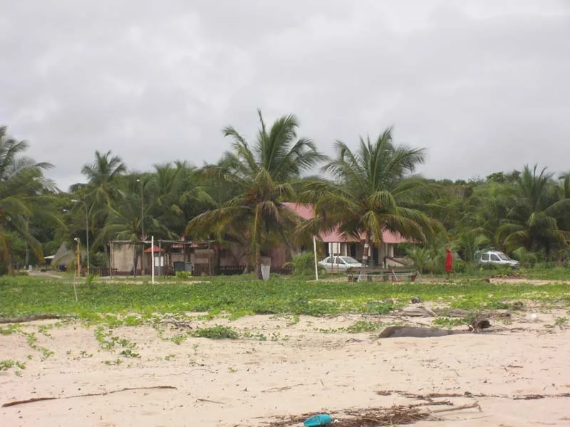
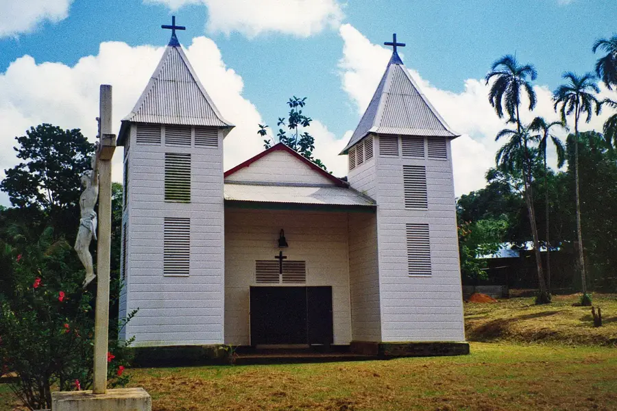
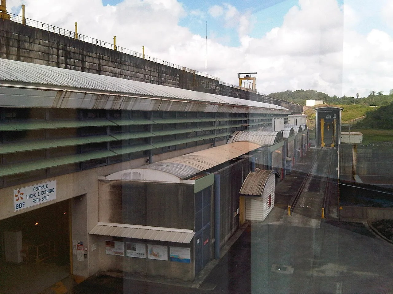
Sights in the town Mont Itoupé (1)
Sights nearby
Frequently asked questions
Where is Mont Itoupé located?
What is special about its ecosystem?
Can tourists visit the mountain?
How high is Mont Itoupé?
What animals live there?
Mont Itoupé: where is it located?
Mont Itoupé: when is the best time to visit?
Mont Itoupé: why is it worth visiting?

Nearby cities

History & landmarks

Nature
More places