Plizio Visual Lab
Bellevue de l'Inini

Weather…
Water temperature…
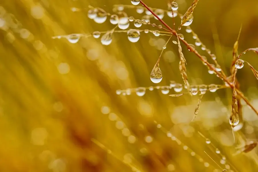
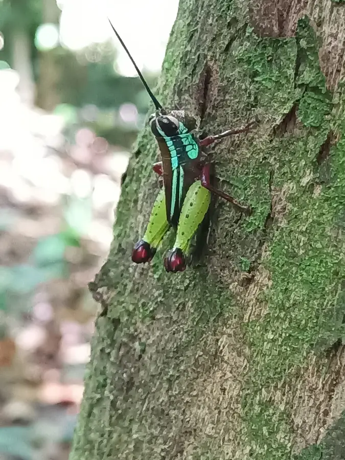
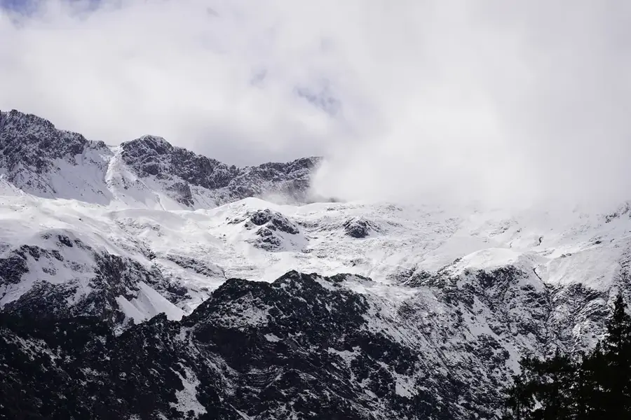
Bellevue de l'Inini is the highest peak in French Guiana, reaching an elevation of 851 meters in the central highlands of the department. It is part of the Inini Massif, characterized by its rugged terrain and dense primary rainforest. Climbing this mountain is a significant challenge for experienced expeditions due to its extreme remoteness and the absence of established hiking trails. Numerous streams originate on the slopes of Bellevue de l'Inini, eventually feeding into the region's major rivers. The vegetation at higher altitudes differs markedly from the lowland forests, hosting specialized plant species adapted to the cooler and more humid mountain climate. On clear days, the summit provides dramatic panoramic views over the vast, unbroken green canopy of the Amazon rainforest. Scientifically, the area is of great interest as it harbors many endemic species that remain largely under-researched. Preserving this pristine mountain range is essential for maintaining the biodiversity of French Guiana. Bellevue de l'Inini remains a symbol of the region's unexplored and wild expanses, situated far from any traces of civilization.
- Location: French Guiana
- Top sights: Montagne Américain · Montagne Massialine · Bellevue de l'Inini
Best time to visit & climate
The most pleasant time to visit is Aug–Oct.
| Jan | Feb | Mar | Apr | May | Jun | Jul | Aug | Sep | Oct | Nov | Dec | |
|---|---|---|---|---|---|---|---|---|---|---|---|---|
| Avg °C | 25 | 25 | 25 | 25 | 25 | 25 | 25 | 25 | 27 | 28 | 28 | 26 |
| Rain mm | 205 | 223 | 243 | 302 | 334 | 256 | 186 | 110 | 47 | 63 | 87 | 202 |
📋 Practical info
Geography
Facts
- The highest point in the department, standing at exactly 851 meters.
- Located in the commune of Maripasoula in the uninhabited interior.
- Geologically part of the Guiana Shield, a very ancient rock formation.
- The Inini Massif is almost entirely covered by primary rainforest.
- Frequently shrouded in clouds, promoting the formation of cloud forests.
- The nearest settlement is several days' journey away by pirogue and on foot.
Explore nearby
Notable places around
Route planner — Car & Motorhome
Where do you start? We build the route here, with stops and country notes along the way.
© OpenStreetMap contributors · OpenRouteService
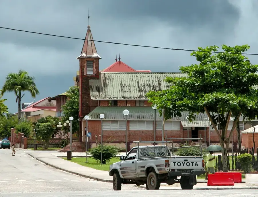
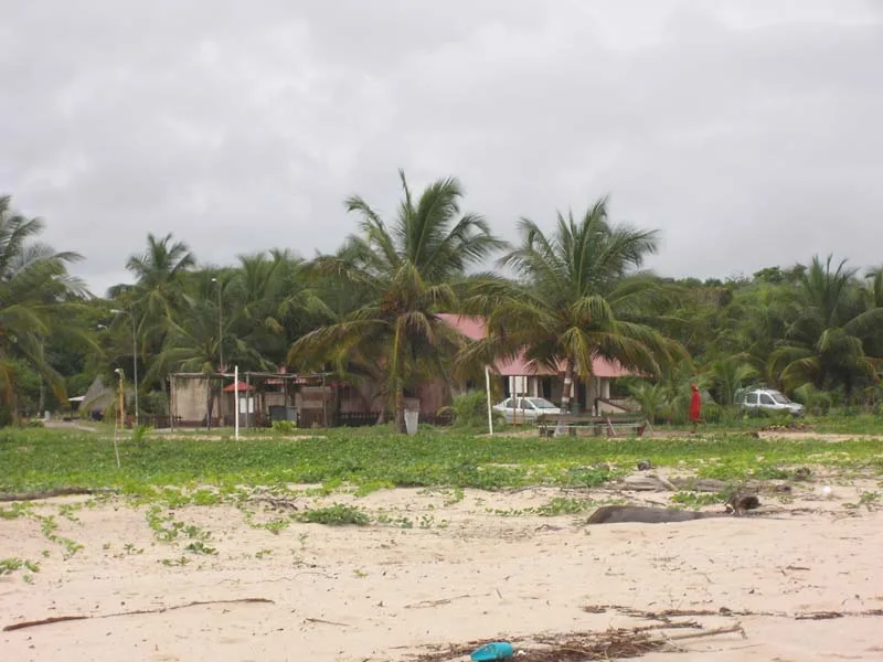
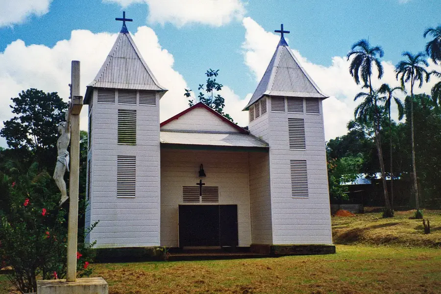
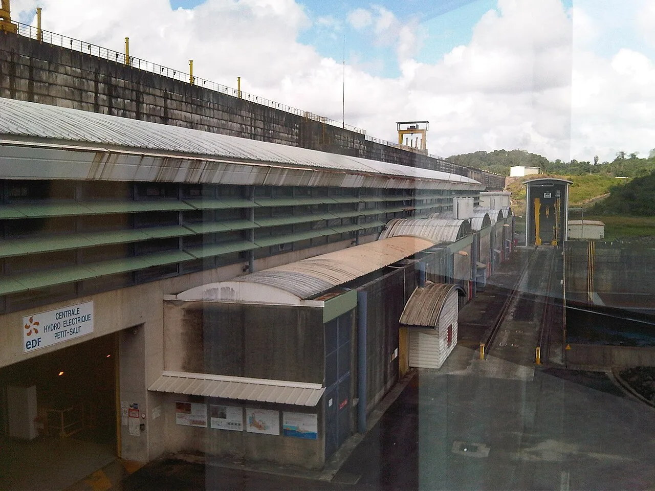
Sights in the town Bellevue de l'Inini (3)
Sights nearby
Frequently asked questions
Is Bellevue de l'Inini the highest mountain in Guiana?
How difficult is the climb?
Do I need a guide?
What flora can I expect there?
Is there an observation deck there?
Bellevue de l'Inini: where is it located?
Bellevue de l'Inini: what is there to see?
Bellevue de l'Inini: when is the best time to visit?
Bellevue de l'Inini: why is it worth visiting?

Nearby cities

History & landmarks
Nature
More places