Plizio Visual Lab
Mont Machalou

Weather…
Water temperature…
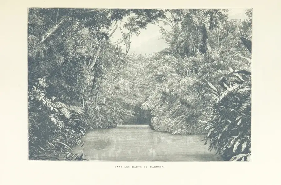
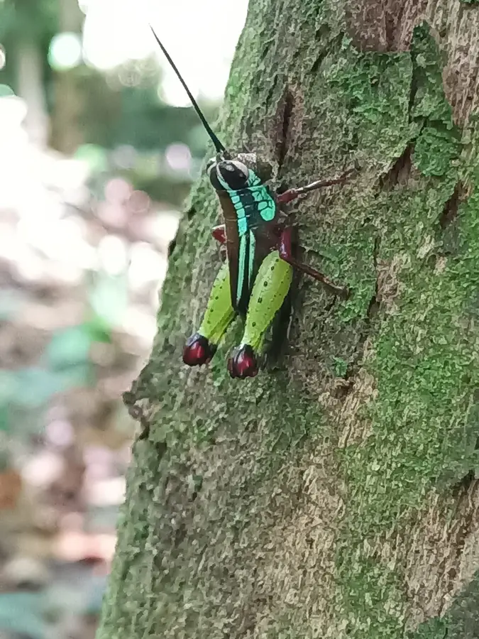
Mont Machalou is a significant peak in the central highlands of French Guiana, known for its isolated location and ecological diversity. Rising to an altitude of approximately 780 meters above sea level, it forms part of the hilly relief that marks the transition towards the southern border region. The geological structure of the mountain consists predominantly of metamorphic rocks, typical of the Guiana Shield, shaped by prolonged erosional processes. The dense, unbroken forest cover is home to a variety of animal species, including howler monkeys and colorful toucans inhabiting different levels of the canopy. As there are no established trails to the summit, Mont Machalou remains a destination visited almost exclusively by scientific research teams. The region is of strategic importance for conservation, serving as a corridor for wildlife migration between the country's various protected areas. The harsh climate with frequent heavy rains results in lush vegetation and numerous temporary waterfalls on the slopes.
Best time to visit & climate
The most pleasant time to visit is Aug–Oct.
| Jan | Feb | Mar | Apr | May | Jun | Jul | Aug | Sep | Oct | Nov | Dec | |
|---|---|---|---|---|---|---|---|---|---|---|---|---|
| Avg °C | 25 | 25 | 25 | 25 | 25 | 25 | 25 | 25 | 26 | 28 | 28 | 26 |
| Rain mm | 243 | 252 | 283 | 328 | 347 | 239 | 179 | 98 | 44 | 57 | 84 | 213 |
📋 Practical info
Geography
Facts
- Mont Machalou reaches an altitude of approximately 780 meters.
- It is located within the drainage basin of the Maroni River.
- The rock formations date back to the Precambrian era.
- The average annual humidity in the area exceeds 85%.
- Rare endemic moss species have been identified on the mountain.
- There are no permanent human settlements within a 50 km radius.
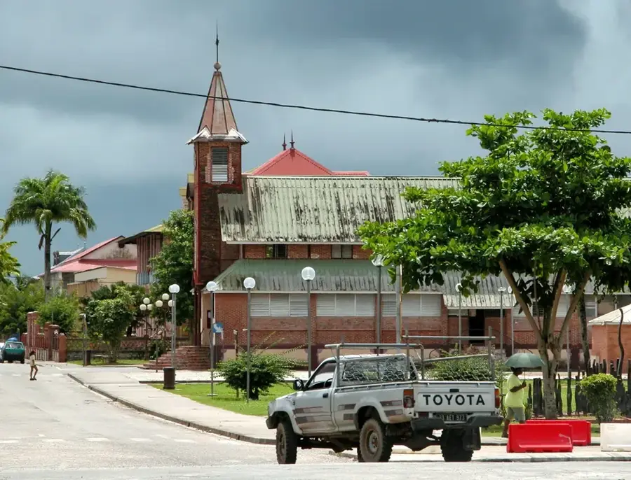
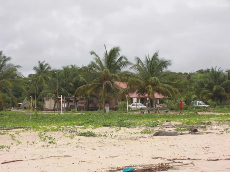
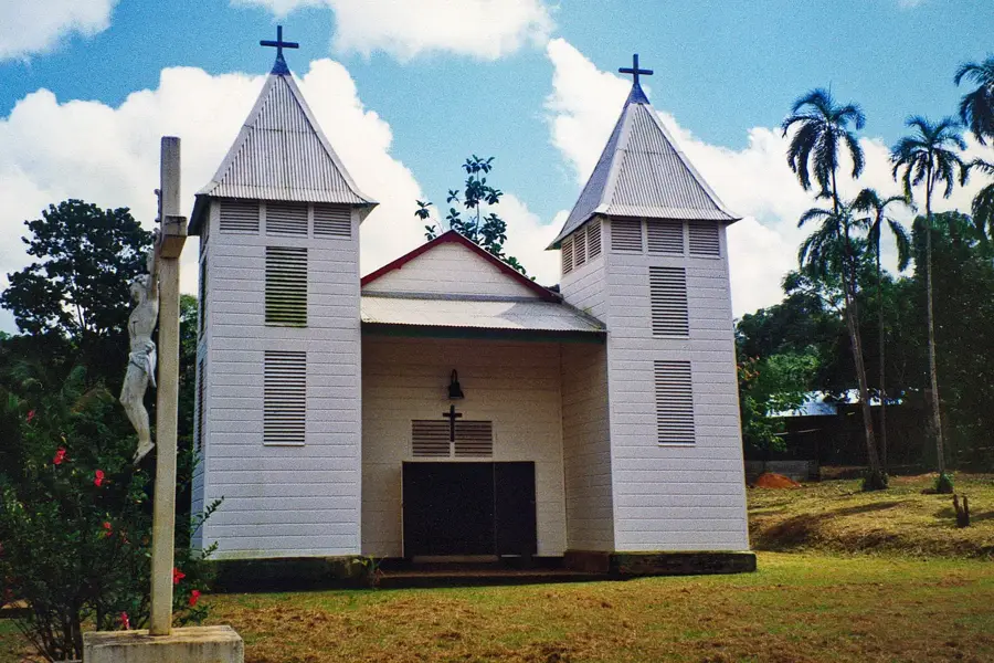
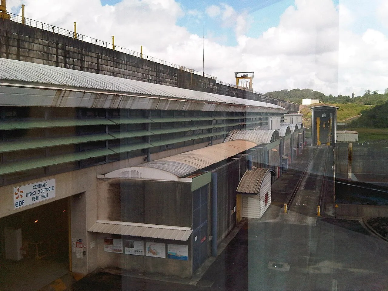
Explore nearby
Notable places around
Route planner — Car & Motorhome
Where do you start? We build the route here, with stops and country notes along the way.
© OpenStreetMap contributors · OpenRouteService
Sights nearby
Frequently asked questions
Where is Mont Machalou located?
Who lives near the mountain?
Can you climb the mountain?
What is the vegetation like on Mont Machalou?
How do you reach the Machalou region?
Mont Machalou: where is it located?
Mont Machalou: when is the best time to visit?
Mont Machalou: why is it worth visiting?

Nearby cities
History & landmarks

Nature
More places