Plizio Visual Lab
Sommet Tabulaire
Weather…
Water temperature…
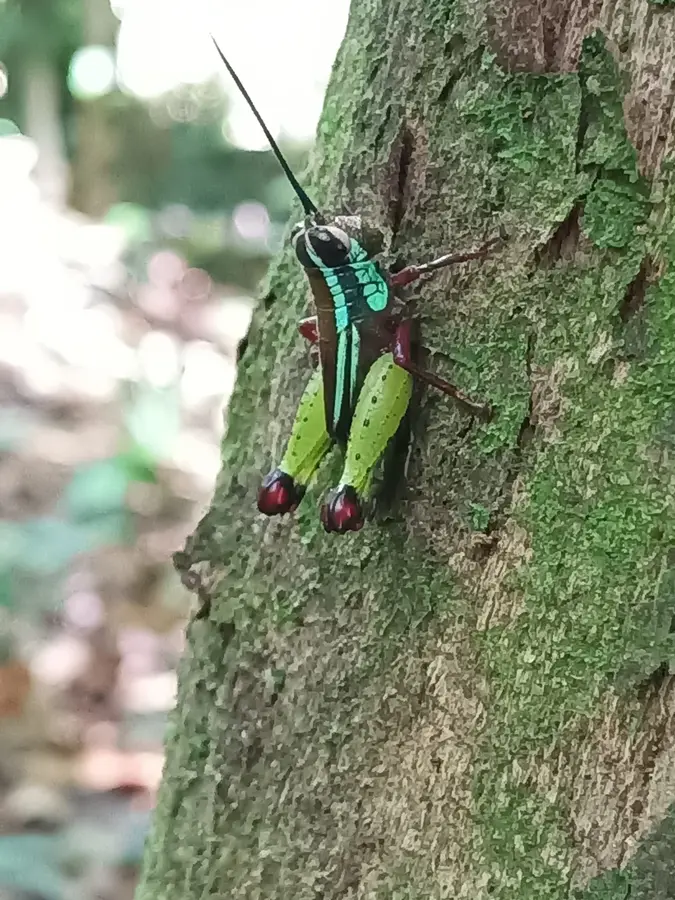
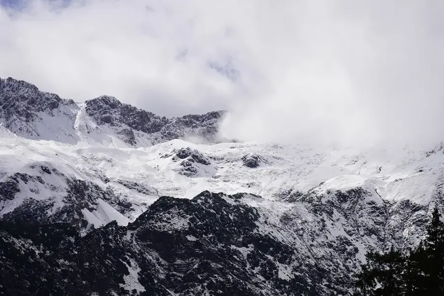
Sommet Tabulaire is a geologically fascinating elevation in the central part of French Guiana, characterized by its distinctive flat-topped plateau. Rising to an altitude of approximately 830 meters, it is among the highest peaks in the territory and forms part of the extensive Guiana Shield. This formation is reminiscent of the famous tepuis of Venezuela, albeit on a smaller scale, and is composed of ancient sandstone-like rocks that have resisted erosion over eons. Due to its isolated location and difficult accessibility, a unique flora has developed on the plateau, featuring many endemic species. The slopes are covered in pristine primary rainforest, which plays a vital role as a watershed for local river systems. Scientific expeditions to Sommet Tabulaire are rare and often aim to discover new insect and plant species that exist only in these specific high-altitude environments. The region remains largely untouched by human infrastructure, preserving its original ecological state.
Best time to visit & climate
The most pleasant time to visit is Aug–Oct.
| Jan | Feb | Mar | Apr | May | Jun | Jul | Aug | Sep | Oct | Nov | Dec | |
|---|---|---|---|---|---|---|---|---|---|---|---|---|
| Avg °C | 24 | 24 | 25 | 25 | 25 | 25 | 25 | 25 | 26 | 27 | 27 | 25 |
| Rain mm | 273 | 271 | 275 | 358 | 422 | 278 | 200 | 105 | 53 | 60 | 98 | 275 |
📋 Practical info
Geography
Facts
- Sommet Tabulaire reaches a maximum elevation of approximately 830 meters.
- Geologically, it consists of some of the oldest rock formations on Earth.
- The summit's shape is classified as a tabletop mountain, similar to South American tepuis.
- The average temperature on the plateau is about 5 degrees Celsius lower than at the coast.
- It is located within the borders of the Guiana Amazonian Park.
- Several rare orchid species have been documented exclusively on its summit.
Explore nearby
Notable places around
Route planner — Car & Motorhome
Where do you start? We build the route here, with stops and country notes along the way.
© OpenStreetMap contributors · OpenRouteService
Sights nearby
Frequently asked questions
What is the Sommet Tabulaire?
How do you reach this place?
What are the natural features there?
Is the location developed for tourism?
Is camping allowed there?
Sommet Tabulaire: where is it located?
Sommet Tabulaire: when is the best time to visit?
Sommet Tabulaire: why is it worth visiting?

Nearby cities
History & landmarks

Nature
More places