Plizio Visual Lab
Enontekiö
ℹ️Practical info — Enontekiö
▾
🌤 Weather — 5 days
📍 Nearby
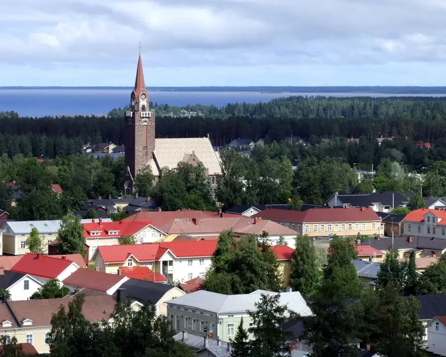
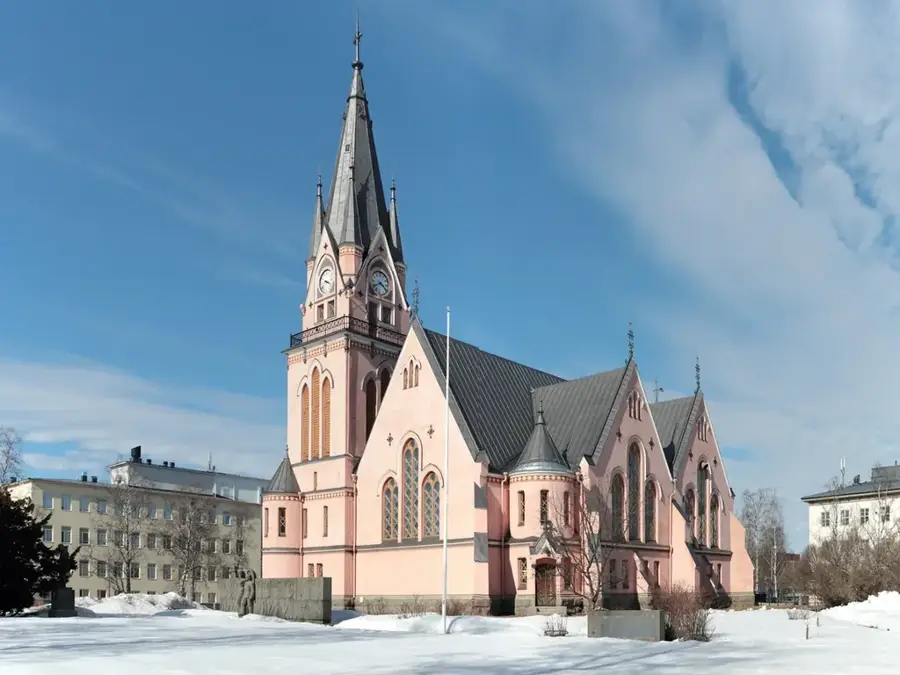
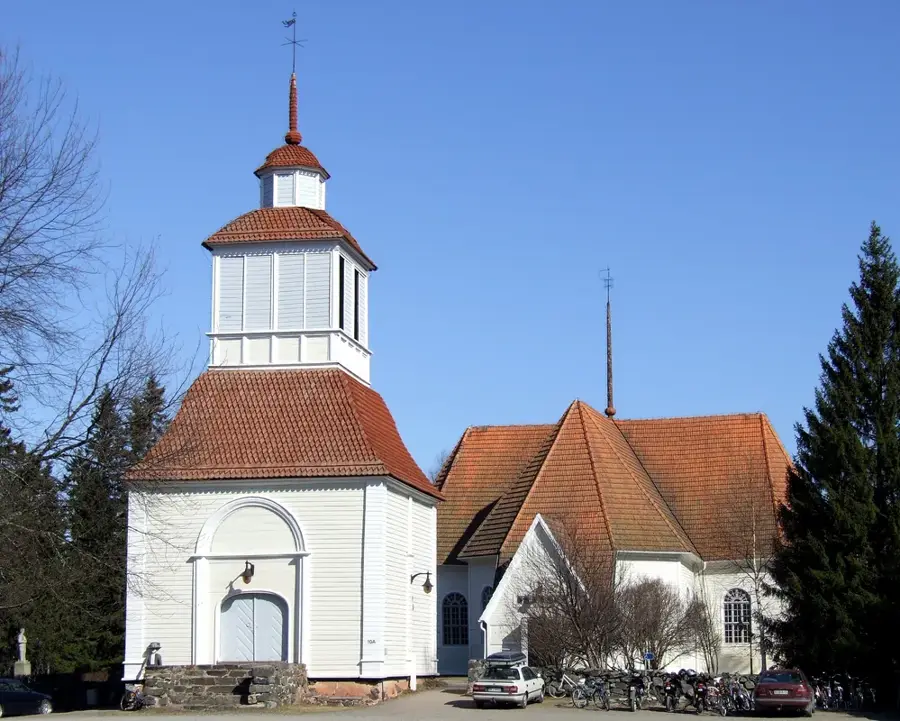
Sights nearby
💡 Tips
- Distances are vast in Enontekiö; always ensure your fuel tank is full before heading into the wilderness areas.
- Weather can change rapidly on the fells; dress in warm layers even in summer.
- Keep an eye out for reindeer on the roads, especially during summer and autumn.
- For Northern Lights viewing, head out of the village centers to avoid light pollution; winter nights are best.
- Respect the local Sami culture and nature; stick to marked trails in the national parks.
🍽 Food
Try it at traditional Lappish lodges and guesthouses near Kilpisjärvi.
Look for cloudberry jams or desserts in local cafes during late summer.
Often served freshly caught in local guesthouses near the mountain lakes.
🛍 Shopping · 🧘 Quiet spots
Authentic items made of reindeer bone and leather, available in specialized local craft shops.
Essential outdoor equipment and warm clothing can be found in the main village of Hetta.
Vast, quiet fell landscapes first-rate for hiking and finding solitude.
A peaceful spot in Hetta to sit by the water and enjoy the arctic silence.
Water temperature…
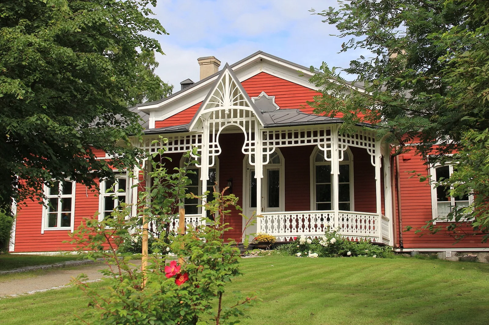
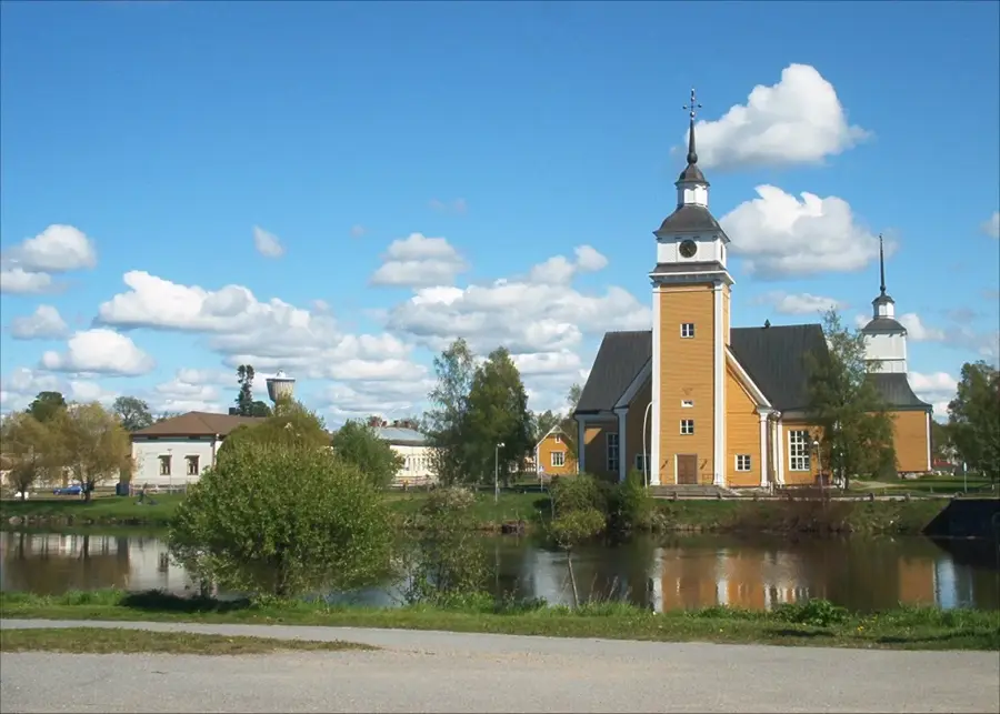
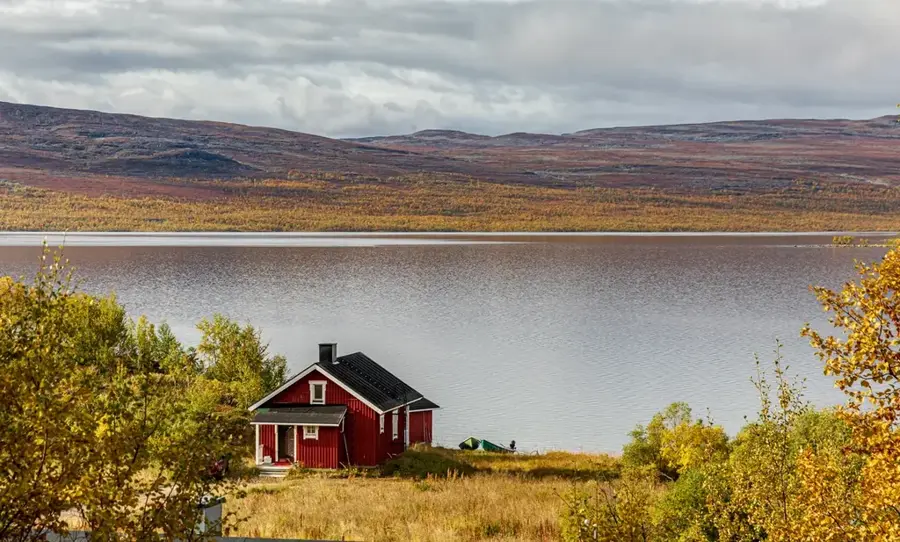
Enontekiö is a sprawling municipality located in the extreme northwest of Finland, known as the country's 'arm,' situated deep within the Arctic Lapland region. It is home to Finland's highest point, the Halti fell, which reaches an elevation of 1,324 meters on the border with Norway. The landscape is characterized by tundra vegetation, barren fells, and vast reindeer herds, which remain central to the lifestyle of the indigenous Sámi people. Enontekiö is one of the few places in Finland where Sámi culture and language are vibrantly integrated into daily life, showcased at the Sámi cultural center in the village of Hetta. Hetta serves as the administrative hub and a base for expeditions into the Pallas-Yllästunturi National Park. Economically, the region relies on traditional reindeer husbandry and Arctic tourism, attracting visitors for northern lights viewings in winter and trekking in summer. A significant geographical landmark is the Three-Country Cairn, where the borders of Finland, Sweden, and Norway meet. The extreme Arctic climate and pristine wilderness make Enontekiö a unique destination for nature lovers and adventurers.
- Location: Finland
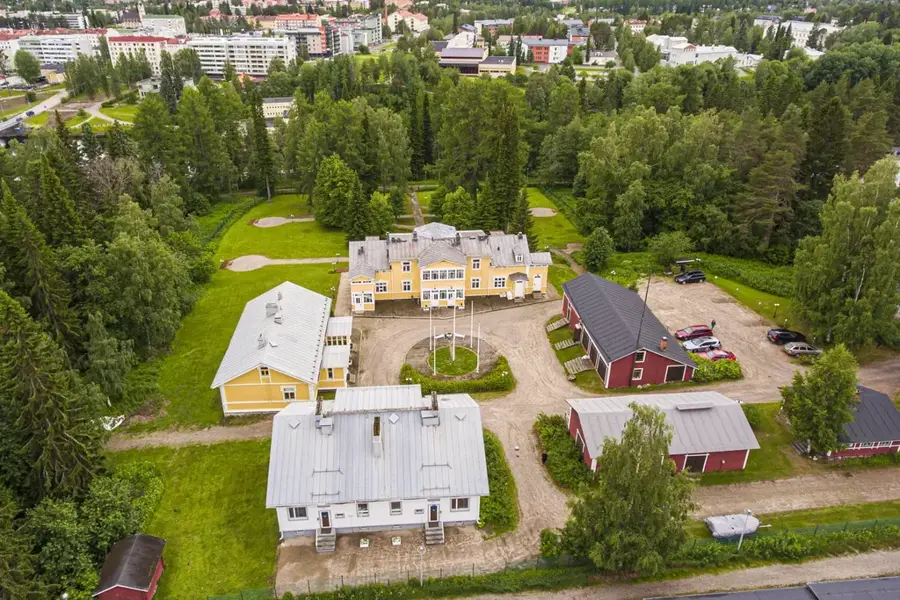
- Nearby: Hetta (10 km)
- Population: ~1.765
Best time to visit & climate
The most pleasant time to visit is Jun–Aug.
| Jan | Feb | Mar | Apr | May | Jun | Jul | Aug | Sep | Oct | Nov | Dec | |
|---|---|---|---|---|---|---|---|---|---|---|---|---|
| Avg °C | -13 | -13 | -9 | -3 | 3 | 10 | 14 | 11 | 6 | -2 | -8 | -11 |
| Rain mm | 41 | 37 | 34 | 43 | 77 | 101 | 112 | 97 | 77 | 61 | 50 | 49 |
Geography
Facts
- Halti, Finland's highest point at 1,324 meters, is located here.
- The municipality covers about 10% of Finland's total land area.
- The Three-Country Cairn of Finland, Sweden, and Norway is situated here.
- Enontekiö has one of the lowest population densities in Europe.
- More than 60% of the municipal area consists of protected nature zones.
- Enontekiö Airport is one of the northernmost airports in Finland.
Explore nearby
Notable places around
Route planner — Car & Motorhome
Where do you start? We build the route here, with stops and country notes along the way.
© OpenStreetMap contributors · OpenRouteService
Frequently asked questions
What is the Hetta-Pallas hiking trail?
When can you see the Northern Lights in Enontekiö?
What is the Fell-Lapland Nature Center?
Can you go on reindeer safaris?
How far is it to the three-country border point (Finland, Norway, Sweden)?
Enontekiö: where is it located?
Enontekiö: when is the best time to visit?
Enontekiö: why is it worth visiting?

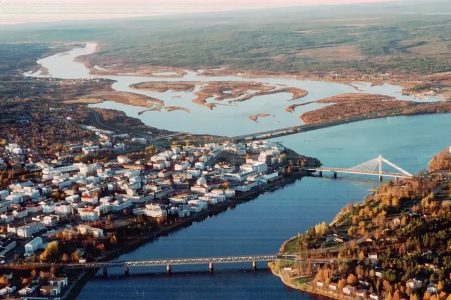
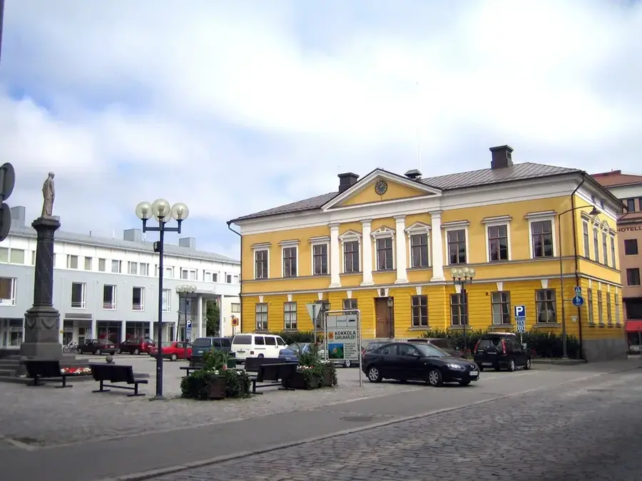
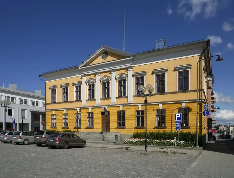
Nearby cities