Plizio Visual Lab
Olostunturi
Weather…
Water temperature…
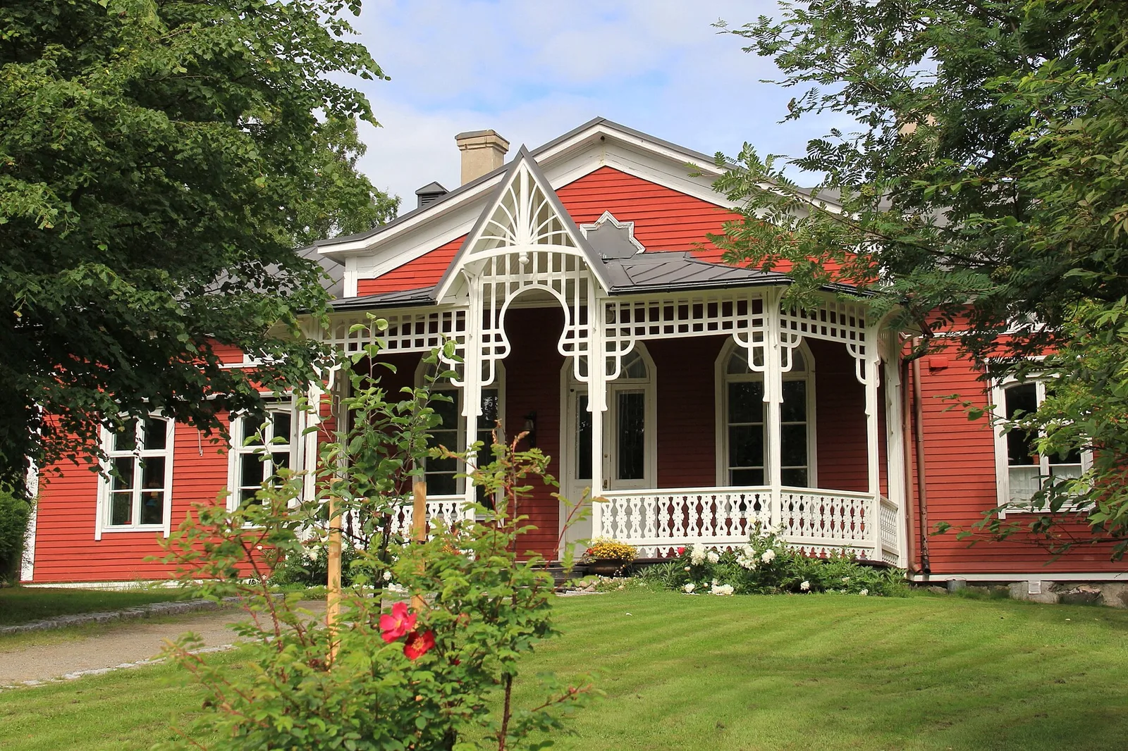
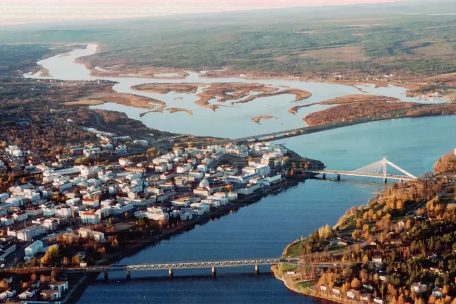
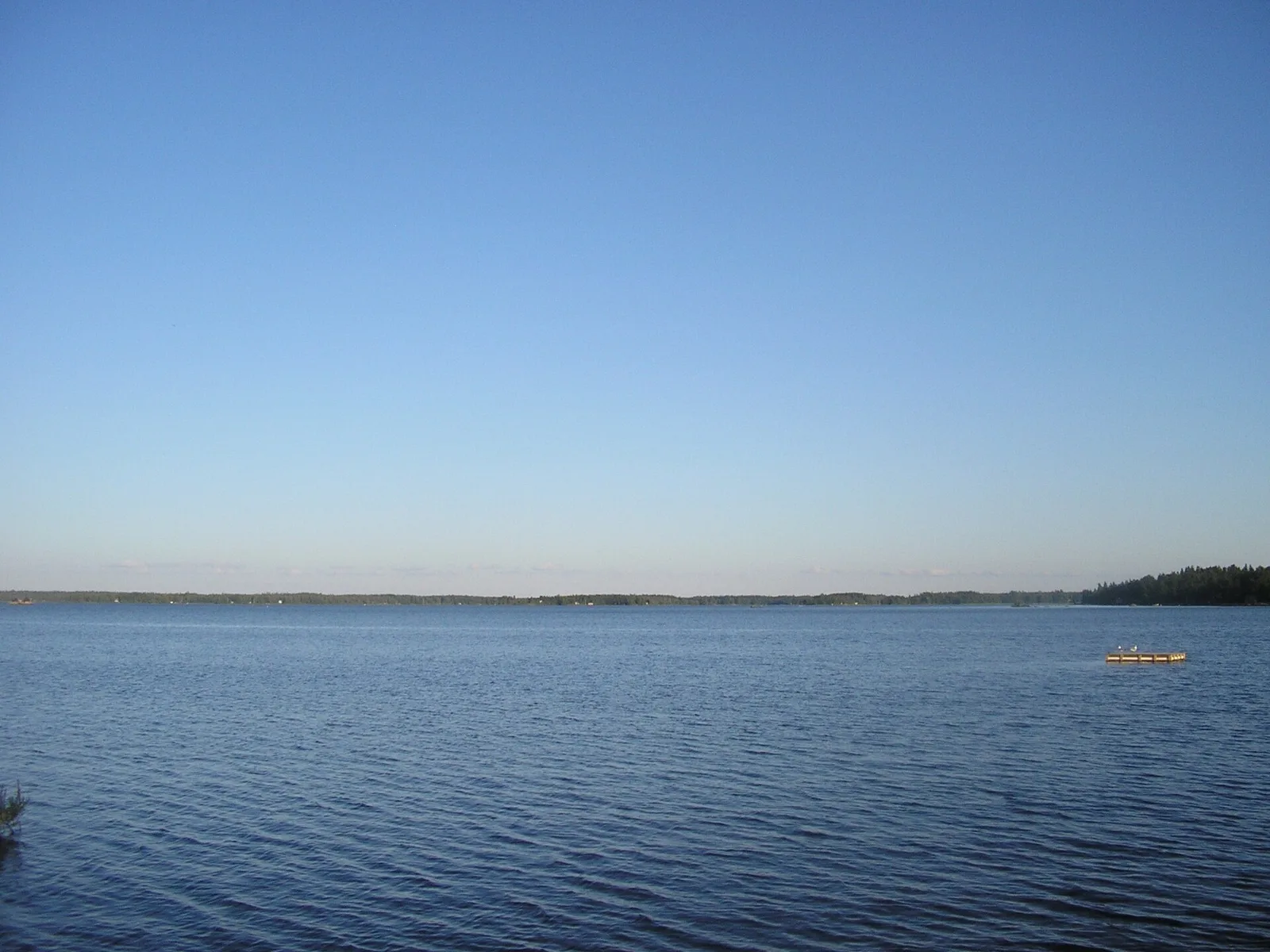
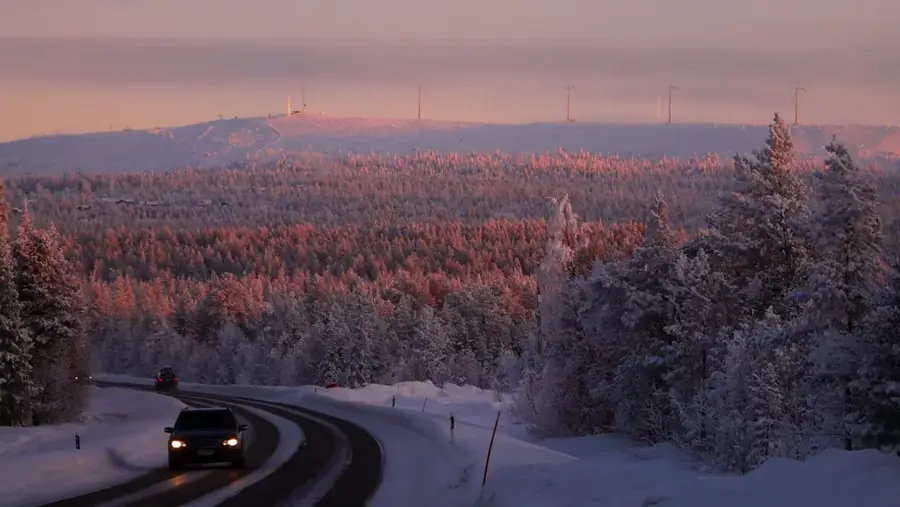
Olostunturi is a prominent fell located in the municipality of Muonio in Western Lapland, near the Swedish border. Rising to 524 meters above sea level, it gives expansive views over the Muonionjoki river valley and the surrounding fell country. Geologically, Olostunturi is characterized by quartzite rock, typical of the ranges in this region, which fosters sparse arctic vegetation. A modern distinguishing feature of the mountain is its role as a research site for wind energy under arctic conditions; several wind turbines are situated on its summit, providing vital data on icing and energy efficiency in extreme cold. Historically, the hill was a traditional resting place for reindeer herds during their seasonal migrations. Today, Olostunturi is a well-known hub for cross-country and alpine skiing, with trails often opening early in the autumn thanks to snow farming and artificial snowmaking.
- Location: Finland
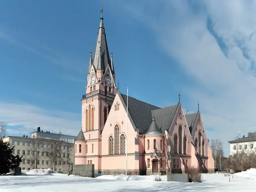
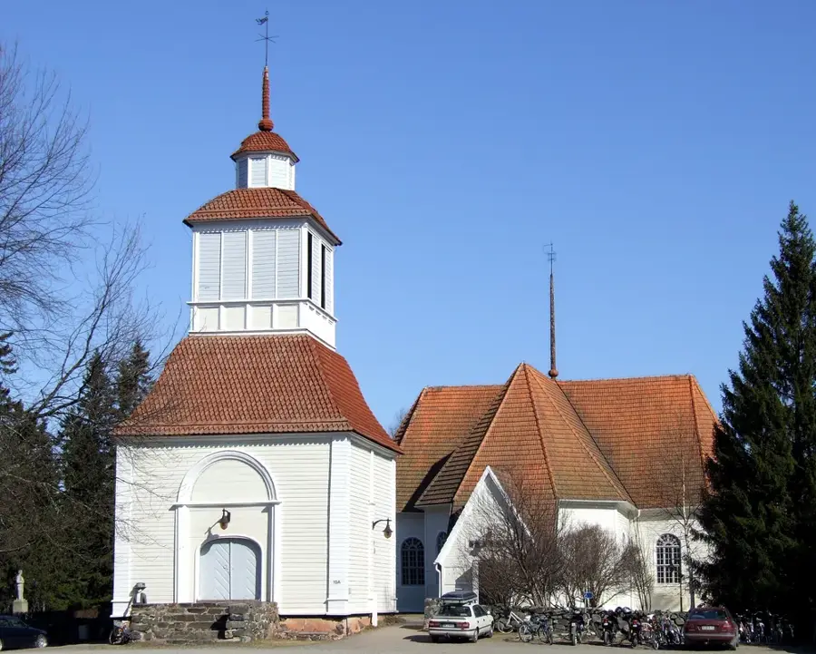
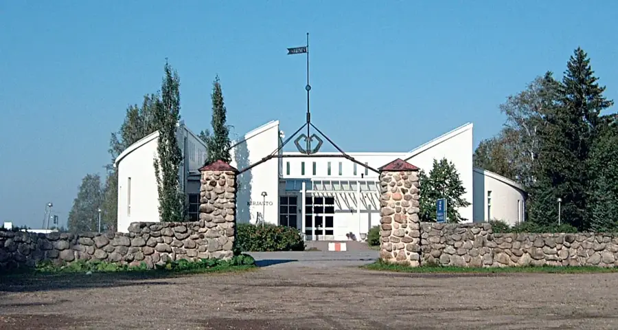
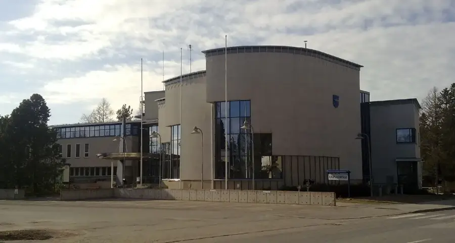
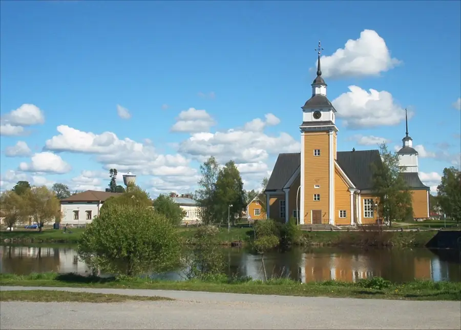
- Top sights: Muonio local history museum · Pekosen ranta · Rukomasaari birdwatching tower
- Nearby: Pallas (21 km)
Best time to visit & climate
The most pleasant time to visit is Jun–Aug.
| Jan | Feb | Mar | Apr | May | Jun | Jul | Aug | Sep | Oct | Nov | Dec | |
|---|---|---|---|---|---|---|---|---|---|---|---|---|
| Avg °C | -13 | -13 | -9 | -3 | 4 | 10 | 14 | 12 | 6 | -1 | -8 | -11 |
| Rain mm | 43 | 37 | 34 | 43 | 76 | 93 | 111 | 97 | 80 | 63 | 53 | 51 |
📋 Practical info
Geography
Facts
- The summit of Olostunturi stands at 524 meters above sea level.
- Five wind turbines are located on the summit for renewable energy research.
- The area is famous for its early-season skiing, with trails often ready by October.
- The Olos hotel at the base serves as a major training hub for professional skiers.
- The mountain's geological composition is primarily 1.8-billion-year-old quartzite.
- The summit offers a clear vantage point overlooking the border into Sweden.
Explore nearby
Notable places around
Route planner — Car & Motorhome
Where do you start? We build the route here, with stops and country notes along the way.
© OpenStreetMap contributors · OpenRouteService
Sights in the town Olostunturi (5)
Sights nearby
Frequently asked questions
Where is Olostunturi located?
What can you see from the summit?
Are there wind turbines there?
Is Olos a ski resort?
Is there a hotel on the fell?
Olostunturi: where is it located?
Olostunturi: what is there to see?
Olostunturi: when is the best time to visit?
Olostunturi: why is it worth visiting?

Nearby cities