Plizio Visual Lab
Mindo Cloud Forest
Weather…
Water temperature…
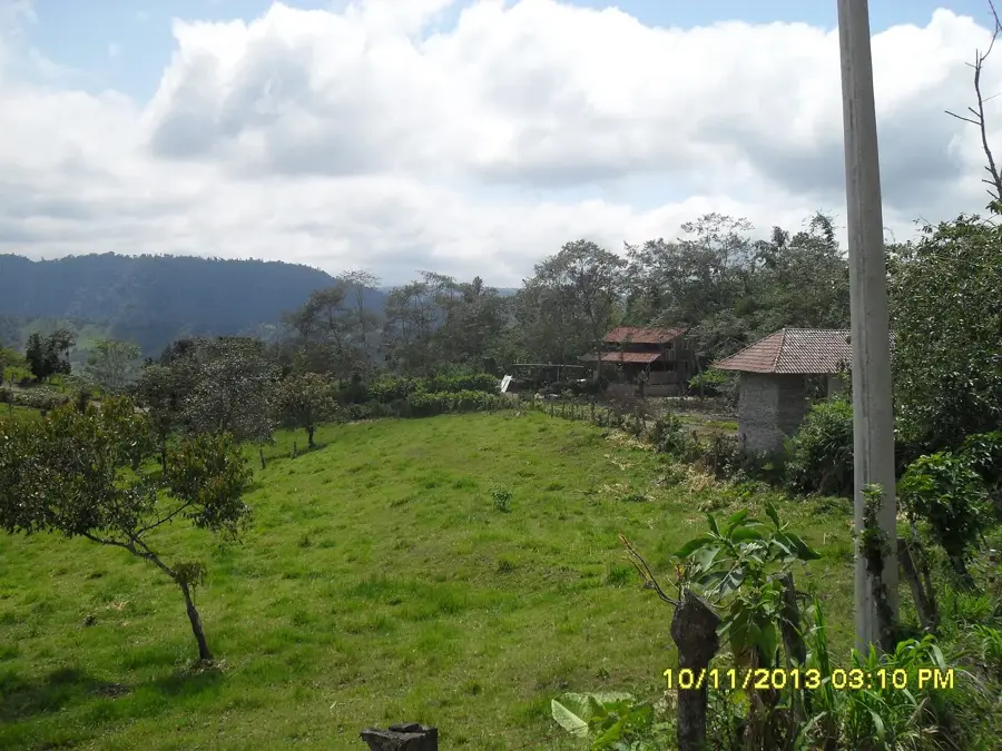
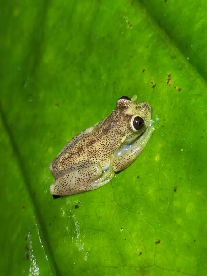
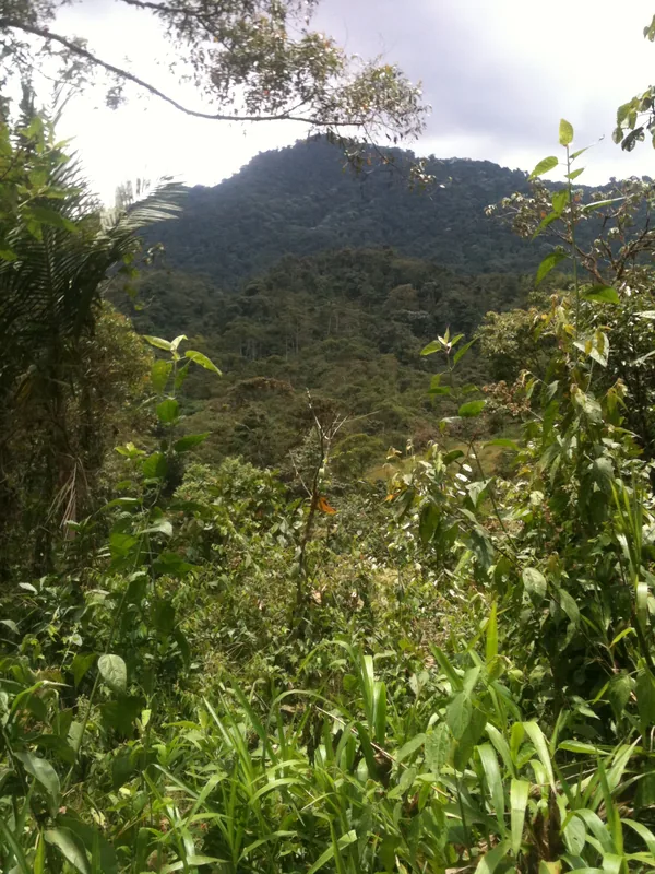
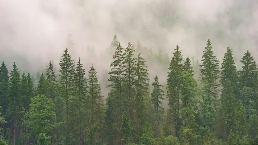
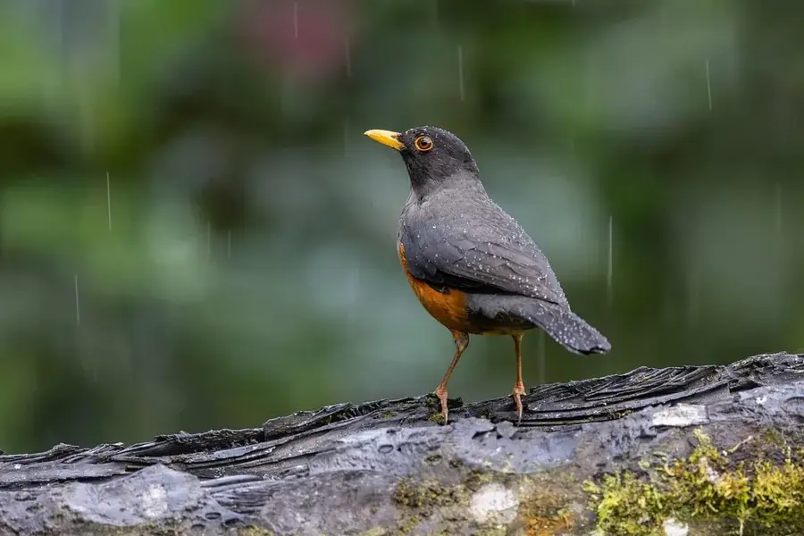
The Mindo Cloud Forest is situated on the western slopes of the Ecuadorian Andes and is an integral part of the Chocó-Andean Biosphere Reserve. This region is globally renowned for its extraordinary biological diversity, particularly in ornithology, boasting over 450 recorded bird species. The high humidity and frequent cloud cover create a unique ecosystem where epiphytes, orchids, and ferns flourish in abundance. Mindo serves as a premier destination for ecotourism, attracting visitors with its numerous waterfalls, extensive hiking trails, and butterfly conservatories. Scientifically, the area is significant as it acts as a crucial corridor for migratory species and hosts many endemic organisms found nowhere else on Earth. Local communities have embraced forest conservation, developing sustainable tourism models that balance environmental protection with economic growth. Preserving this biodiversity hotspot is a top priority as agricultural expansion continues to threaten the surrounding landscape.
- Location: Ecuador
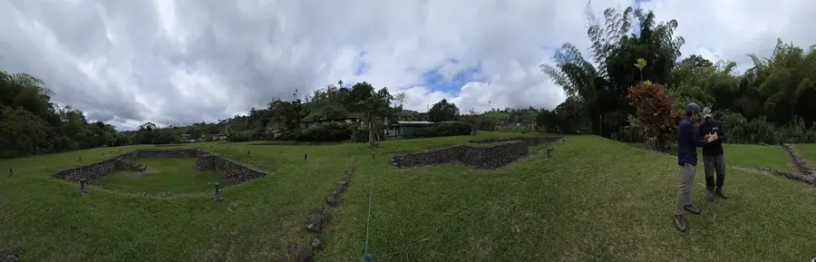
- Top sights: Lek de Gallito de la Peña · Tarabita Mindo · Tarabita y Santuario de las Cascadas
- Nearby: Saquisilí (20 km)
Best time to visit & climate
The most pleasant time to visit is Jul–Sep.
| Jan | Feb | Mar | Apr | May | Jun | Jul | Aug | Sep | Oct | Nov | Dec | |
|---|---|---|---|---|---|---|---|---|---|---|---|---|
| Avg °C | 17 | 17 | 18 | 18 | 18 | 18 | 17 | 18 | 18 | 17 | 17 | 17 |
| Rain mm | 139 | 143 | 176 | 177 | 123 | 58 | 34 | 25 | 38 | 76 | 90 | 100 |
📋 Practical info
Geography
Facts
- Mindo is located in a valley at an average elevation of approximately 1,250 meters.
- More than 450 distinct bird species have been documented in the Mindo-Nambillo region.
- The area is part of the Chocó-Andean Biosphere Reserve, recognized by UNESCO.
- Scientists have identified over 40 different species of hummingbirds in the vicinity.
- The Mindo River is the primary waterway providing moisture to the local ecosystem.
- The Mindo-Nambillo protective forest covers about 19,200 hectares of land.
Explore nearby
Notable places around
Route planner — Car & Motorhome
Where do you start? We build the route here, with stops and country notes along the way.
© OpenStreetMap contributors · OpenRouteService
Sights in the town Mindo Cloud Forest (8)
Sights nearby
Frequently asked questions
What can you do in Mindo?
How far is Mindo from Quito?
Which famous birds live there?
Do you need rubber boots?
Is Mindo family-friendly?
Mindo Cloud Forest: where is it located?
Mindo Cloud Forest: what is there to see?
Mindo Cloud Forest: when is the best time to visit?
Mindo Cloud Forest: why is it worth visiting?

Nearby cities


History & landmarks


More places