Plizio Visual Lab
Pichincha
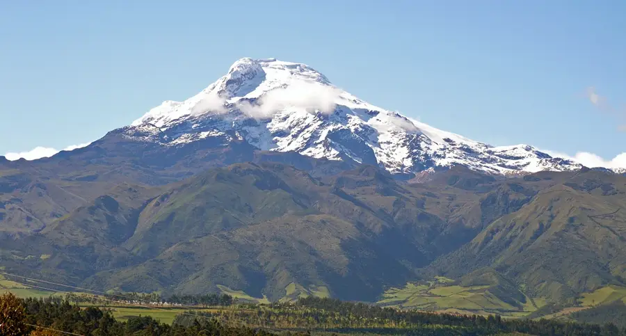
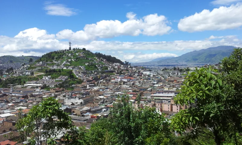
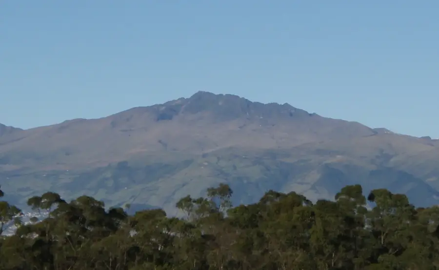
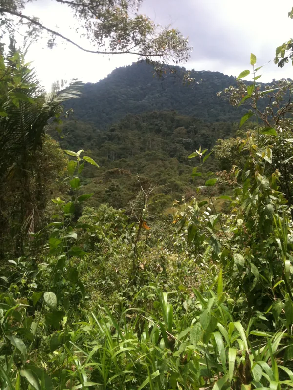
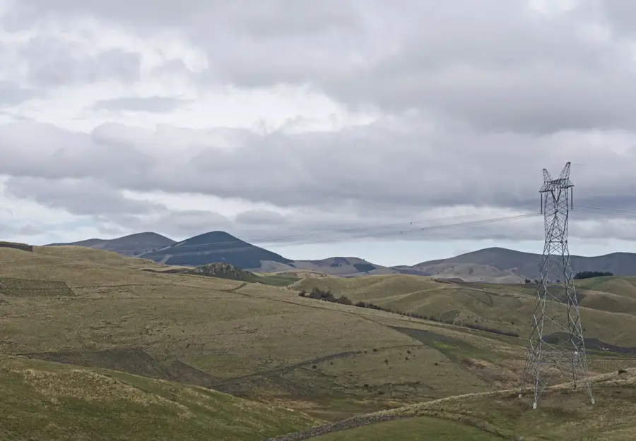
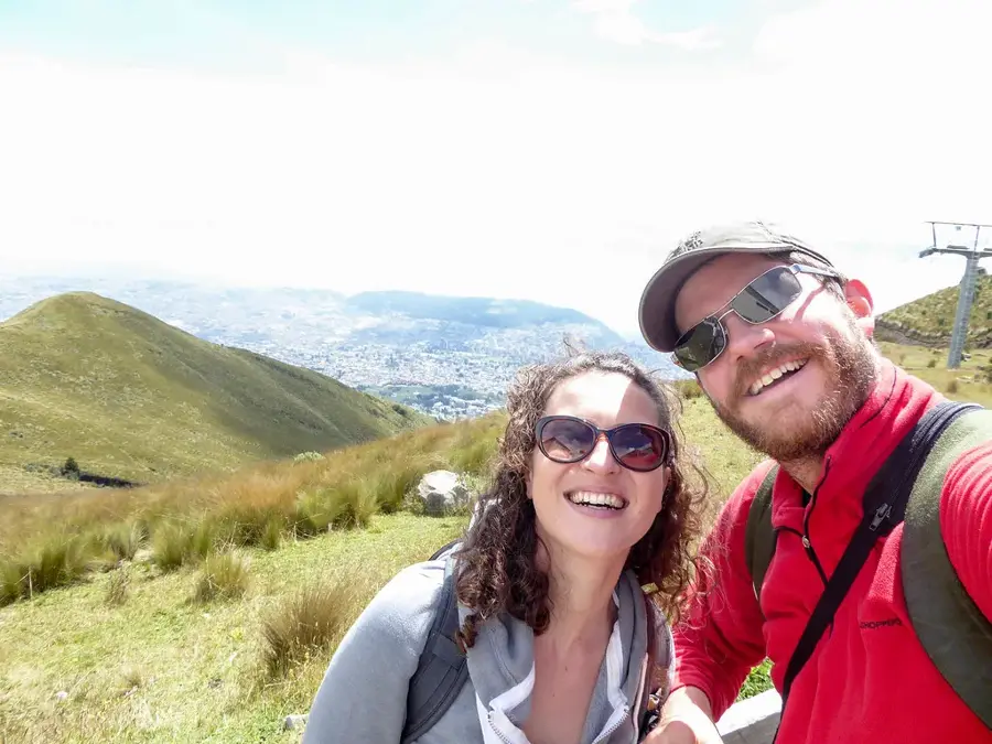
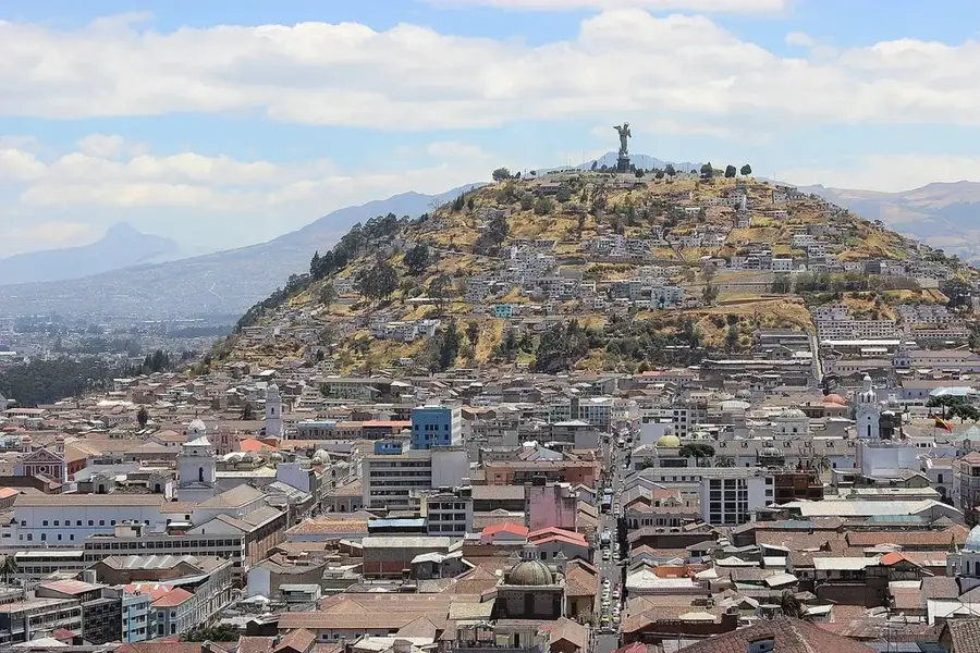
Pichincha is a massive stratovolcano located directly adjacent to Quito, the capital city of Ecuador. It comprises two primary peaks: the extinct Rucu Pichincha at 4,698 meters and the active Guagua Pichincha, which reaches an elevation of 4,784 meters. The mountain holds immense historical significance as the site of the Battle of Pichincha on May 24, 1822, which secured Ecuador's independence from Spanish colonial rule. Guagua Pichincha features a horseshoe-shaped crater that opens to the west, directing potential lava flows away from the densely populated city. However, in 1999, a major eruption blanketed Quito in several centimeters of volcanic ash, highlighting the ongoing geohazard. The TelefériQo cable car allows access to the higher slopes of Rucu Pichincha, providing a vantage point over the Andean cordillera. The high-altitude paramo ecosystem on the volcano's flanks is vital for the region's water catchment and biodiversity. Continuous seismic monitoring is maintained by local authorities due to the volcano's proximity to the metropolitan area.
- Location: Ecuador
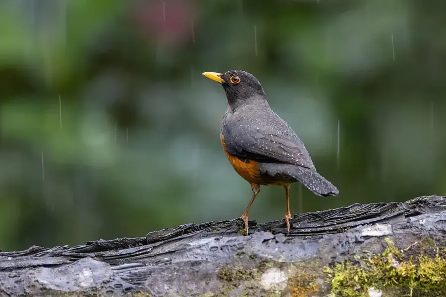
- Top sights: Zuroloma birding · Reserva del Bosque Protector Verdecocha · HCDA. LAS PALMAS- Agropecuaria y agroturística- Sotomayor Moreno
- Nearby: Saquisilí (16 km)
Best time to visit & climate
The most pleasant time to visit is Jul–Sep.
| Jan | Feb | Mar | Apr | May | Jun | Jul | Aug | Sep | Oct | Nov | Dec | |
|---|---|---|---|---|---|---|---|---|---|---|---|---|
| Avg °C | 17 | 17 | 18 | 18 | 18 | 18 | 17 | 18 | 18 | 17 | 17 | 17 |
| Rain mm | 139 | 143 | 176 | 177 | 123 | 58 | 34 | 25 | 38 | 76 | 90 | 100 |
📋 Practical info
Geography
Facts
- The highest summit, Guagua Pichincha, stands at 4,784 meters.
- The historic Battle of Pichincha took place on its slopes in 1822.
- A significant eruption in 1999 covered Quito in volcanic ash.
- Pichincha is derived from indigenous words meaning 'Boiling Mountain'.
- The TelefériQo cable car ascends to an altitude of 3,945 meters.
- The volcano's crater is approximately 2 kilometers in diameter.
Explore nearby
Notable places around
Route planner — Car & Motorhome
Where do you start? We build the route here, with stops and country notes along the way.
© OpenStreetMap contributors · OpenRouteService
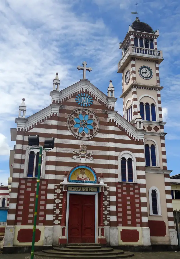
Sights in the town Pichincha (7)
Sights nearby
Frequently asked questions
Which peak is more popular: Rucu or Guagua?
How long is the cable car ride?
Is there a risk of altitude sickness?
Can you see the active crater?
What clothing is recommended?
Pichincha: where is it located?
Pichincha: what is there to see?
Pichincha: when is the best time to visit?
Pichincha: why is it worth visiting?

Nearby cities


History & landmarks

More places