Plizio Visual Lab
Atacazo Volcano
Weather…
Water temperature…
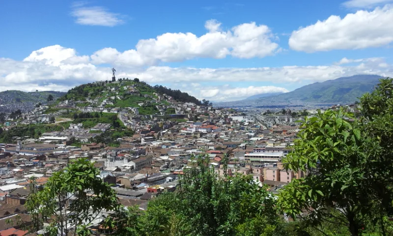
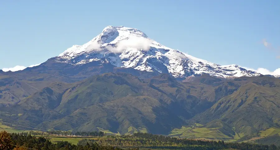
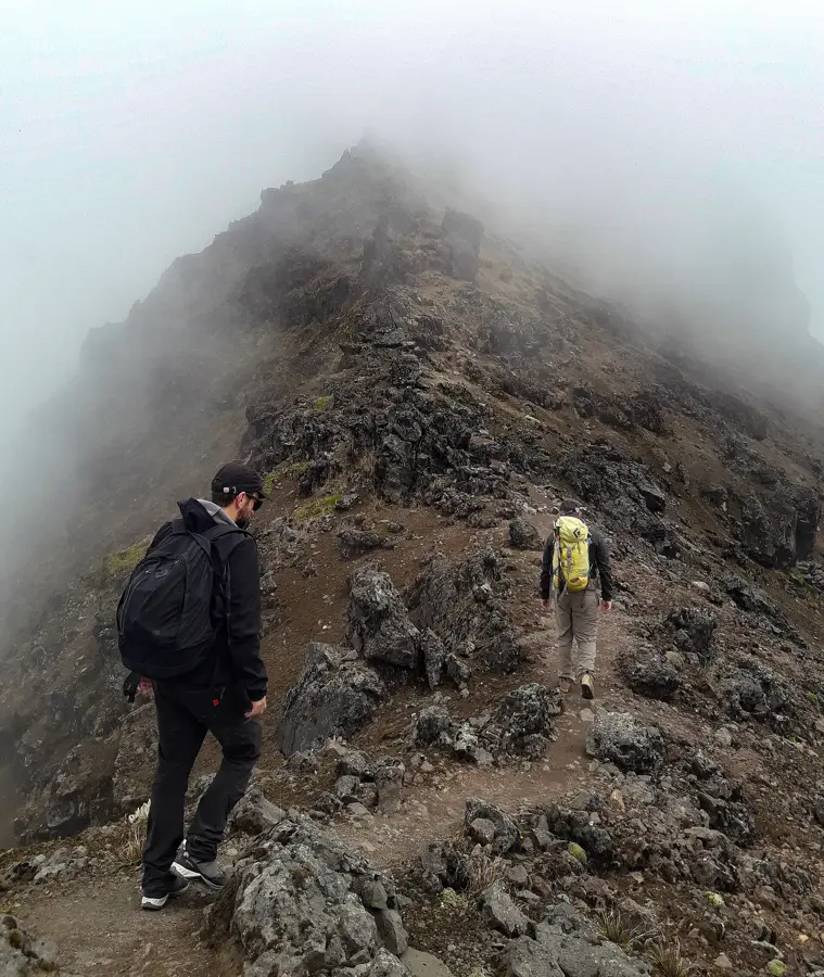
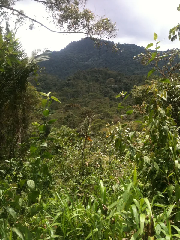
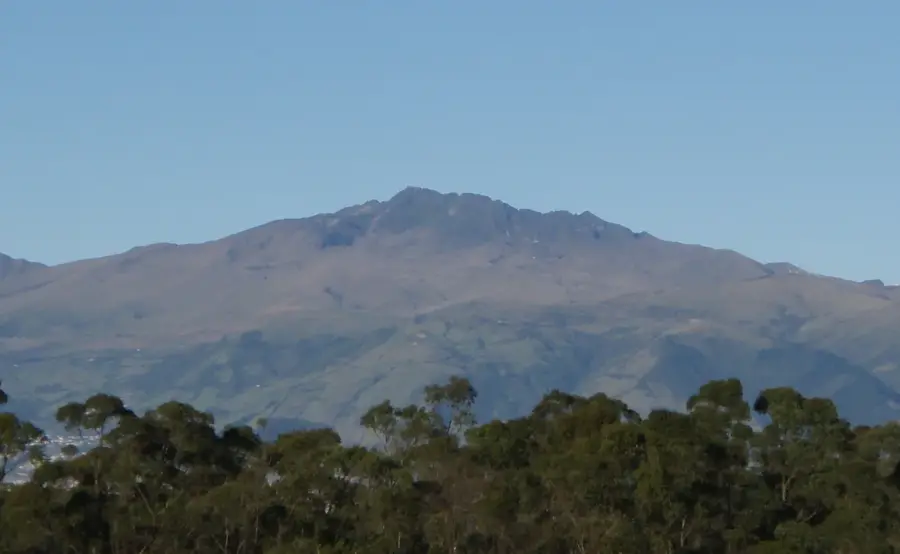
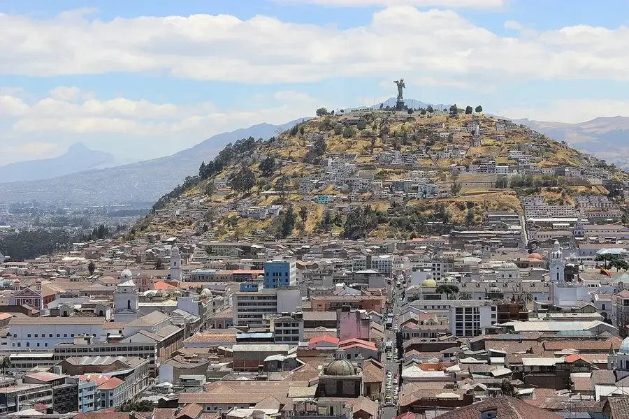
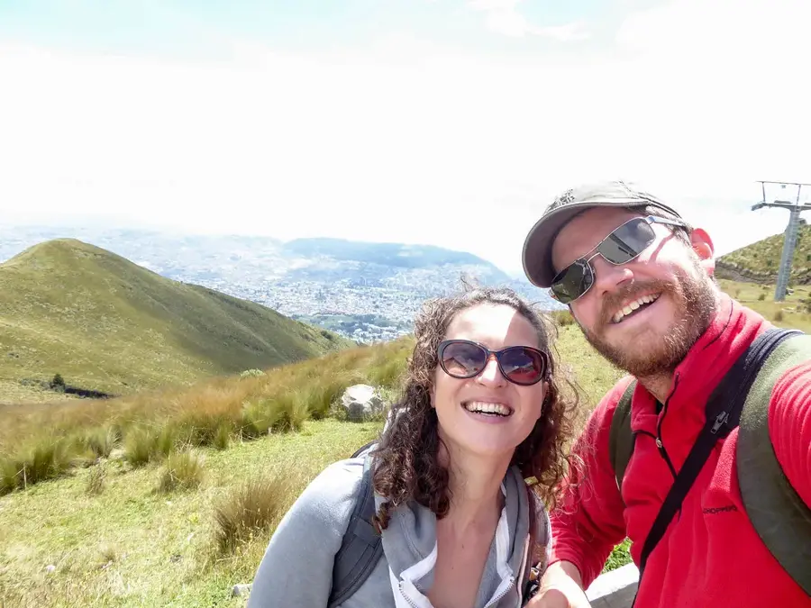
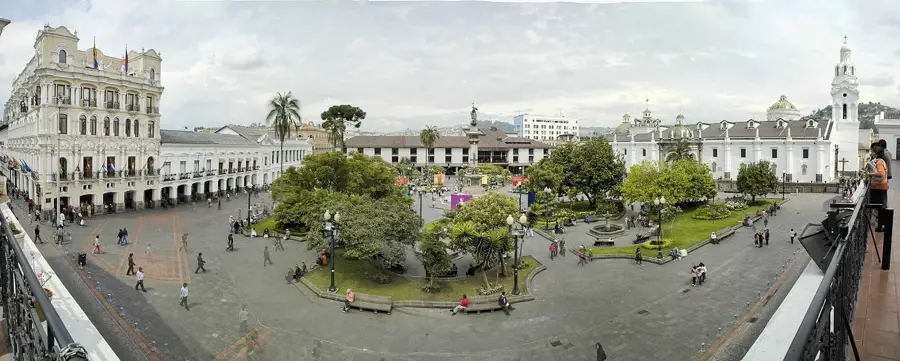
Atacazo is a prominent stratovolcano in the Western Cordillera of Ecuador, located just about 25 kilometers southwest of Quito. It reaches an elevation of 4,463 meters and is part of the Atacazo-Ninahuilca volcanic complex. Its last major Plinian eruption occurred approximately 2,300 years ago, releasing massive amounts of ash and pumice that are still visible today in the region's geological layers. The summit is often shrouded in clouds and surrounded by typical páramo grasslands, which serve as water reservoirs for lower-lying valleys. Geologically, the volcano is known for its lava domes, particularly Ninahuilca, which formed during the final phases of activity. Despite its proximity to the capital, it is climbed less frequently than neighboring peaks, yet it provides an essential ecological barrier and a research site for monitoring volcanic risks.
- Location: Ecuador
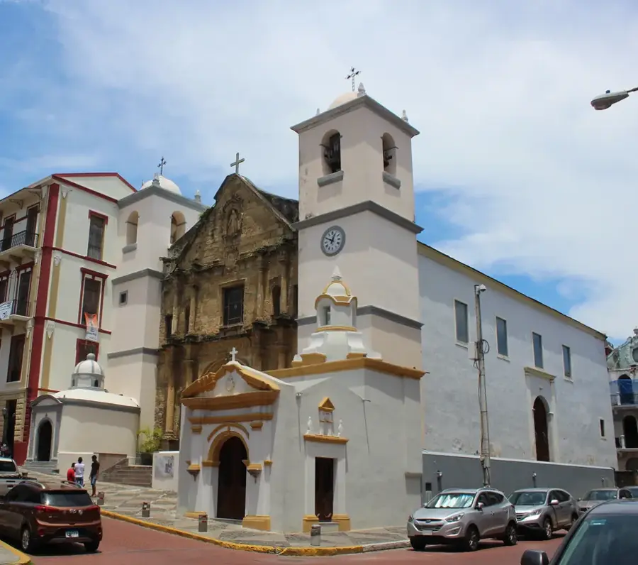
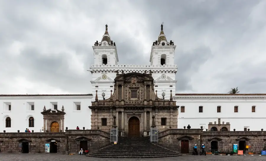
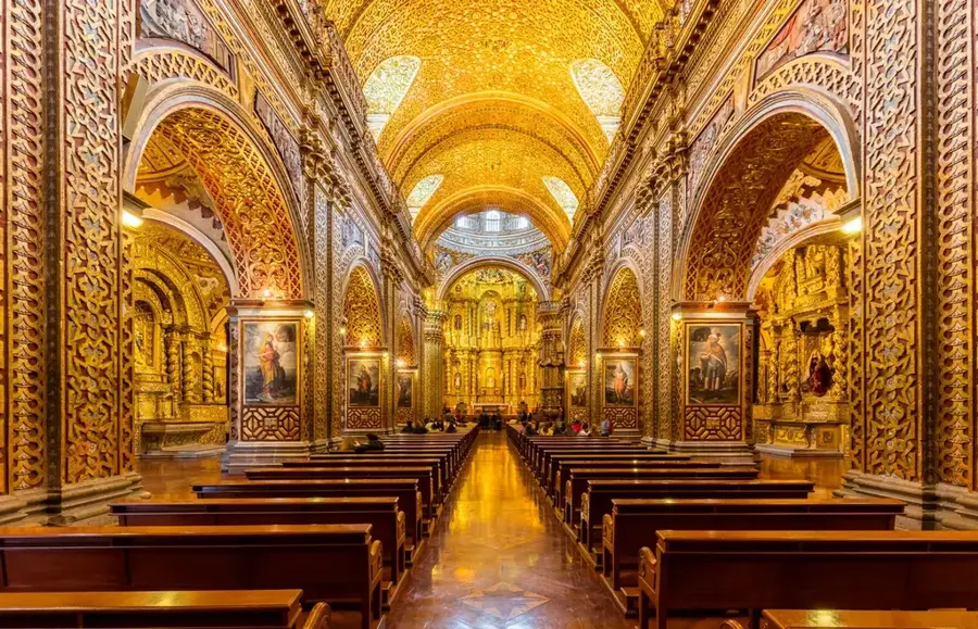
- Top sights: El Alizal · Gluma lui Darius · Iglesia Cristiana
- Nearby: Saquisilí (12 km)
Best time to visit & climate
The most pleasant time to visit is Jul–Sep.
| Jan | Feb | Mar | Apr | May | Jun | Jul | Aug | Sep | Oct | Nov | Dec | |
|---|---|---|---|---|---|---|---|---|---|---|---|---|
| Avg °C | 14 | 14 | 14 | 15 | 15 | 14 | 14 | 14 | 14 | 14 | 14 | 14 |
| Rain mm | 132 | 142 | 169 | 168 | 117 | 63 | 43 | 33 | 41 | 80 | 92 | 100 |
📋 Practical info
Geography
Facts
- Elevation of 4,463 meters
- Last major eruption approx. 2,300 years ago
- Part of the Atacazo-Ninahuilca complex
- Located 25 km southwest of Quito
- Features lava domes like Ninahuilca
- Crucial water source for local communities
Explore nearby
Notable places around
Route planner — Car & Motorhome
Where do you start? We build the route here, with stops and country notes along the way.
© OpenStreetMap contributors · OpenRouteService
Sights in the town Atacazo Volcano (7)
Sights nearby
Frequently asked questions
Where is the Atacazo Volcano located?
How high is the summit?
What is the difficulty level of the hike?
What should I bring?
Is there a good view from the top?
Atacazo Volcano: where is it located?
Atacazo Volcano: what is there to see?
Atacazo Volcano: when is the best time to visit?
Atacazo Volcano: why is it worth visiting?

Nearby cities


History & landmarks


More places