Plizio Visual Lab
Ardoukoba Volcano
Weather…
Water temperature…
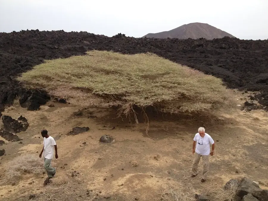
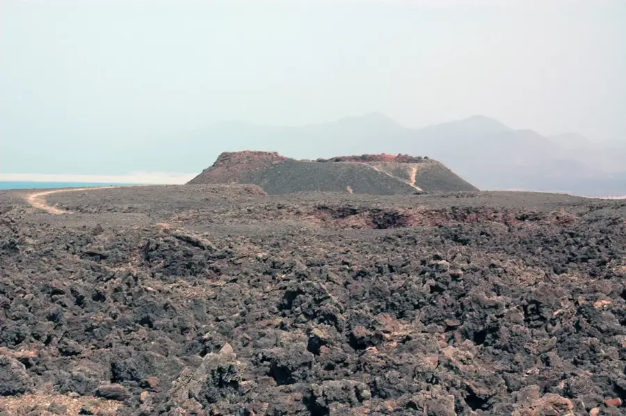
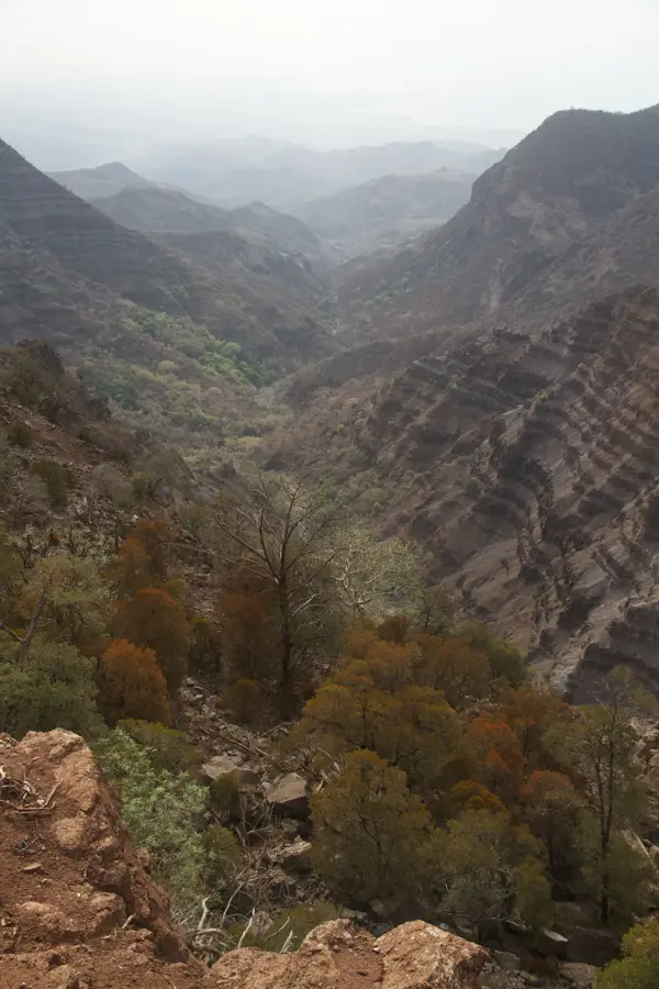
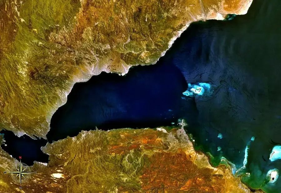
The Ardoukoba volcano is a geologically young fissure volcano located on the strategic land bridge between Lake Assal and Ghoubbet-el-Kharab. Its last eruption in November 1978 was a major scientific event, as it represented the first eruption in this region in over 3,000 years. During this eruption, which lasted only one week, a 17-kilometer-long rift opened, vividly documenting the drifting apart of the African and Arabian tectonic plates. The landscape around Ardoukoba is defined by fresh, black basaltic lava fields, deep fissures, and cinder cones with almost no vegetation. Geologists view this site as an 'open-air laboratory' because the birth of a new ocean can be observed here directly on the Earth's surface. The heat in the region is extreme, and the stark beauty of the solidified lava flows attracts researchers from around the world who study the dynamics of the Afar Triangle.
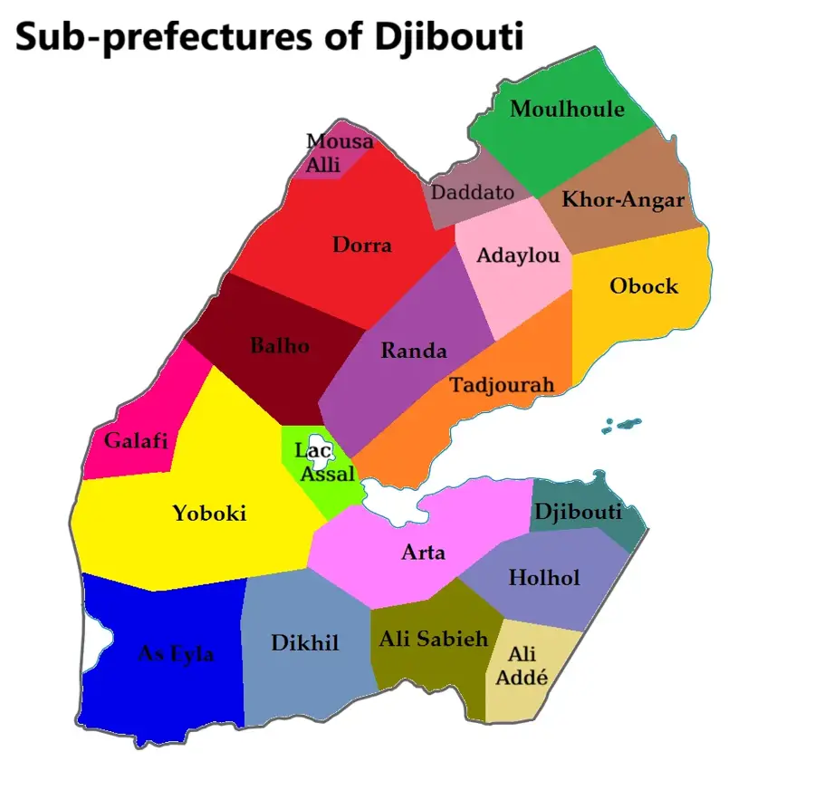
- Location: Djibouti
- Top sights: Gale le Kôma · Ouḏ Kôma · Fî‘ale
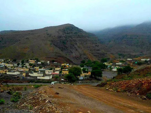
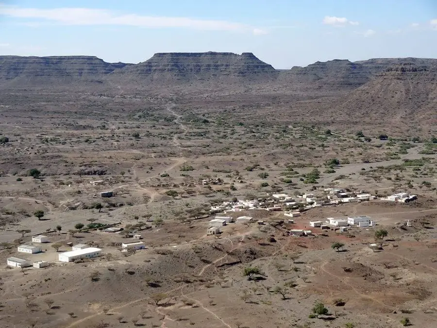
- Nearby: Kontali (14 km)
Best time to visit & climate
The most pleasant time to visit is Jan, Feb, Dec.
| Jan | Feb | Mar | Apr | May | Jun | Jul | Aug | Sep | Oct | Nov | Dec | |
|---|---|---|---|---|---|---|---|---|---|---|---|---|
| Avg °C | 23 | 24 | 26 | 28 | 31 | 34 | 34 | 33 | 32 | 28 | 26 | 24 |
| Rain mm | 6 | 7 | 24 | 55 | 28 | 7 | 33 | 50 | 39 | 20 | 10 | 14 |
📋 Practical info
Geography
Facts
- The last eruption of Ardoukoba occurred in November 1978.
- The volcanic activity lasted for only about one week.
- A 17-kilometer-long tectonic rift opened during the eruption.
- The volcano is situated directly in the center of the Afar Rift.
- Ardoukoba separates Lake Assal from the Gulf of Ghoubbet.
- The 1978 lava flows are still visible today as smooth, black basaltic surfaces.
Explore nearby
Notable places around
Route planner — Car & Motorhome
Where do you start? We build the route here, with stops and country notes along the way.
© OpenStreetMap contributors · OpenRouteService
Sights in the town Ardoukoba Volcano (3)
Sights nearby
Frequently asked questions
When was the last eruption of Ardoukoba?
Can you hike to the crater?
Is the volcano still active?
What can you see in the surroundings?
How hot does it get there?
Ardoukoba Volcano: where is it located?
Ardoukoba Volcano: what is there to see?
Ardoukoba Volcano: when is the best time to visit?
Ardoukoba Volcano: why is it worth visiting?

Nearby cities

History & landmarks
Nature

More places