Plizio Visual Lab
Chabelley

ℹ️Practical info — Chabelley
▾
🌤 Weather — 5 days
📍 Nearby
Sights nearby
💡 Tips
- This area hosts sensitive military installations; strictly avoid photographing any airfields or personnel.
- The climate is incredibly arid and hot; carry significantly more water than you think you will need.
- Do not venture off the main roads without an experienced local guide due to the harsh desert terrain.
- Mobile network coverage can be spotty outside the immediate military base perimeter.
🍽 Food
A traditional spongy flatbread. Often found at small, informal stops along the main road for breakfast.
A sweet, aromatic black tea spiced with cardamom. A quick refreshment at local, informal tea stalls.
Since restaurants are practically non-existent, it is best to bring your own snacks or Skoudekkaris (rice dish) from the capital.
🛍 Shopping · 🧘 Quiet spots
There are no real shops here; purchase all your provisions and water in Djibouti City before arriving.
Occasionally, locals on the side of the road might sell bottled water or small snacks for passersby.
Pull over safely on the side of the road to take in the vast, untouched desert landscapes away from military infrastructure.
The clear desert sky provides an astonishing view of the stars at night if you are stationed in a safe, permitted zone.
Water temperature…
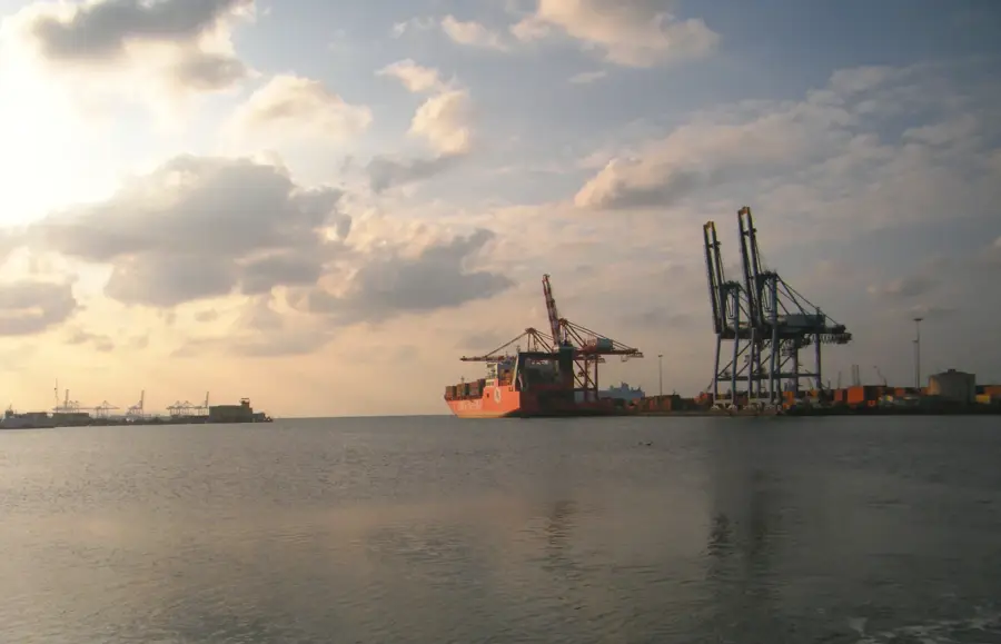
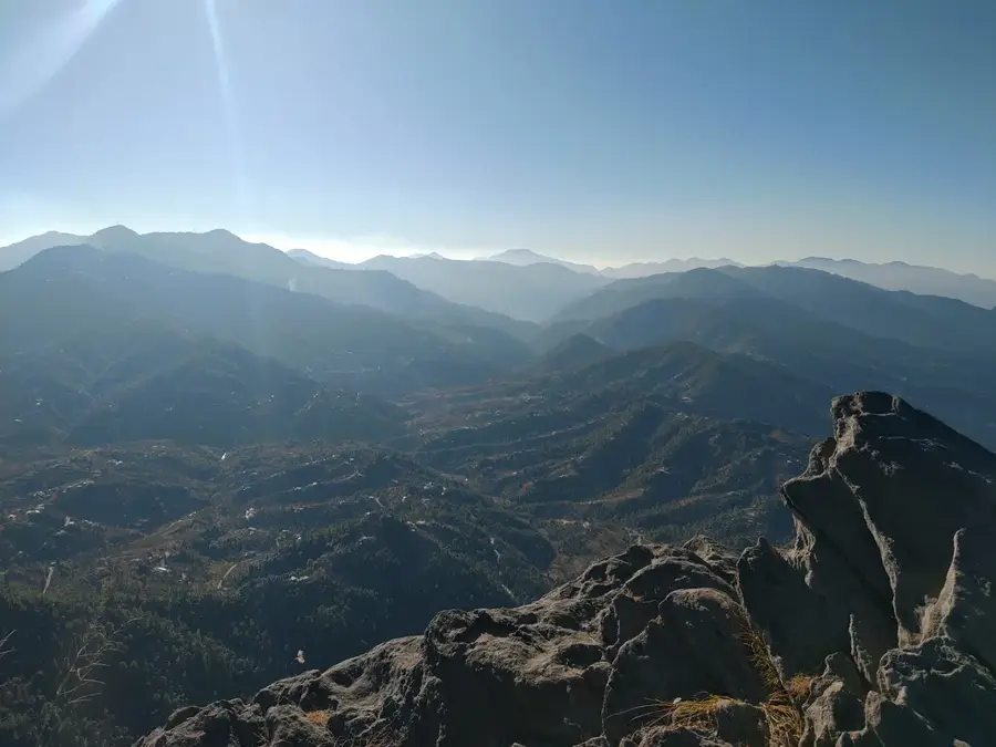
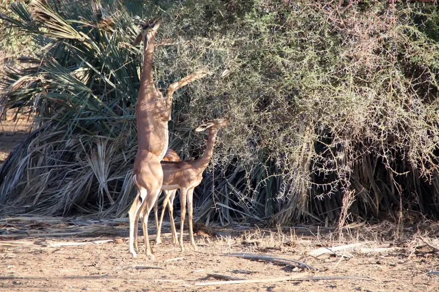
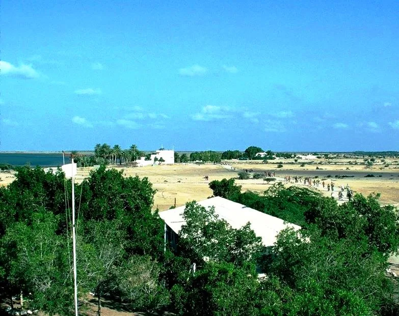
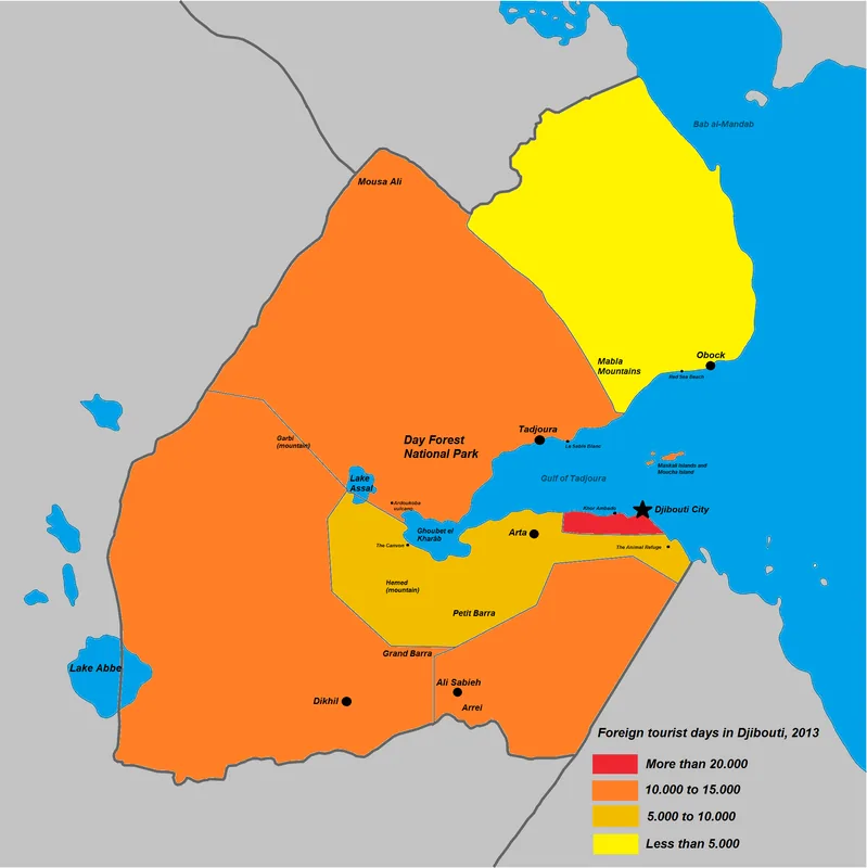
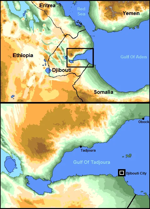
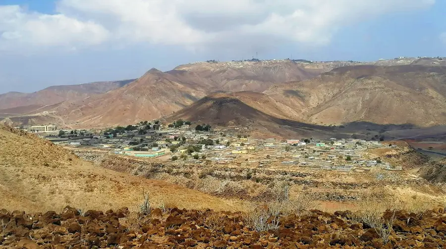
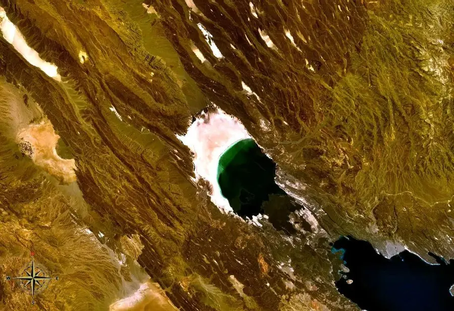
Chabelley is a small village in the Arta Region of Djibouti, located approximately 10 kilometers southwest of the capital. It gained international prominence due to the nearby Chabelley Airfield. This airfield, initially a basic airstrip, was significantly expanded and has been used by the United States Armed Forces for unmanned aircraft operations since around 2013. This military presence has had an impact on the local economy and security. The village itself remains small and rural, with a population that traditionally relies on pastoral herding for their livelihood. However, the proximity of the airfield has created some employment in logistics and support services. Chabelley is situated in the arid Grand Bara desert plain, a vast, flat, and barren expanse. The settlement is connected to the capital by a road, allowing for access to markets and services. Infrastructure in the village is basic, but the strategic importance of the airfield has led to some improvements in the surrounding area. Life in Chabelley represents a mix of traditional nomadic culture and the realities of a modern military installation in close proximity.
- Location: Djibouti
- Top sights: Goumbourta Déïdéï · Hadle-Médou · Qorroto ‘As Madou
- Nearby: Daoudaouya (9 km)
- Population: ~720 (2019)
Best time to visit & climate
The most pleasant time to visit is Jan, Feb, Dec.
| Jan | Feb | Mar | Apr | May | Jun | Jul | Aug | Sep | Oct | Nov | Dec | |
|---|---|---|---|---|---|---|---|---|---|---|---|---|
| Avg °C | 24 | 25 | 26 | 28 | 31 | 34 | 34 | 34 | 33 | 29 | 27 | 25 |
| Rain mm | 6 | 6 | 20 | 51 | 27 | 7 | 17 | 27 | 31 | 21 | 10 | 14 |
Geography
Facts
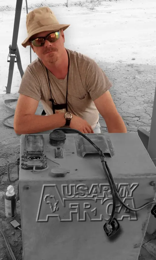
- Site of Chabelley Airfield, used by the U.S. military.
- Located in the Arta Region, 10 km from Djibouti City.
- The airfield has been used for drone operations since around 2013.
- The village is situated in the Grand Bara desert plain.
- The traditional livelihood is pastoral herding.
- The military presence has created local employment.
Explore nearby
Notable places around
Route planner — Car & Motorhome
Where do you start? We build the route here, with stops and country notes along the way.
© OpenStreetMap contributors · OpenRouteService
Sights in the town Chabelley (3)
Frequently asked questions
What is in Chabelley?
Is Chabelley open to the public?
Where exactly is Chabelley located?
Is photography allowed near Chabelley?
Are there civilian settlements there?
Chabelley: where is it located?
Chabelley: what is there to see?
Chabelley: when is the best time to visit?
Chabelley: why is it worth visiting?

Nearby cities


Nature
More places