Plizio Visual Lab
Historical Ruvubu Valley
Weather…
Water temperature…
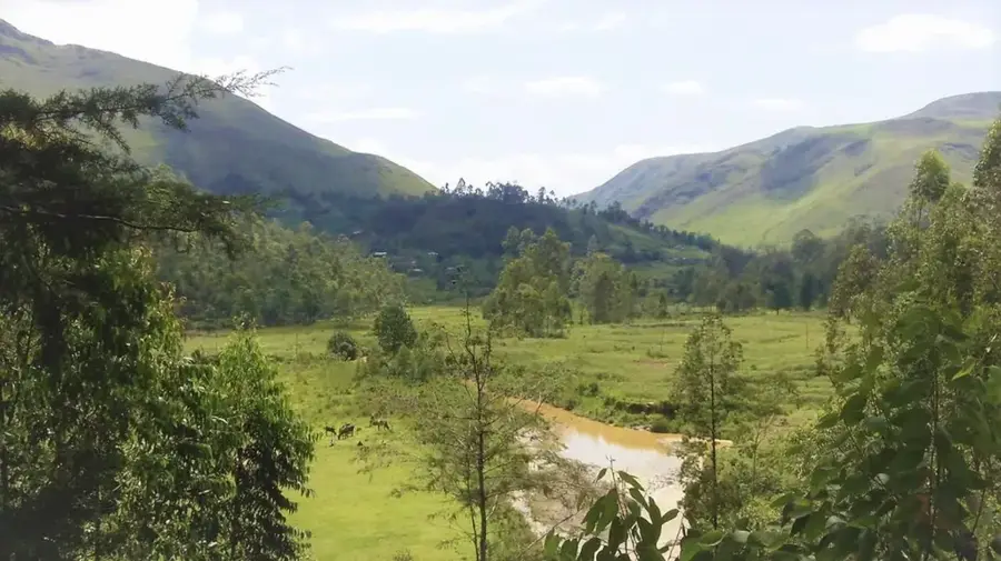
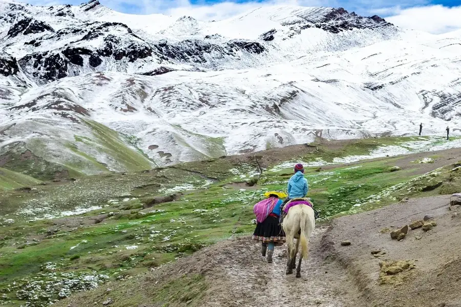
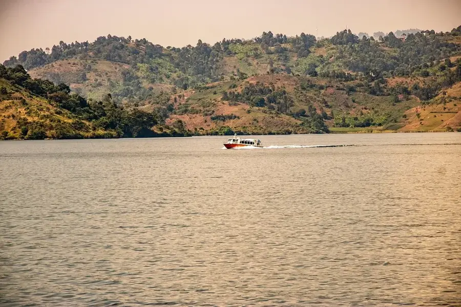
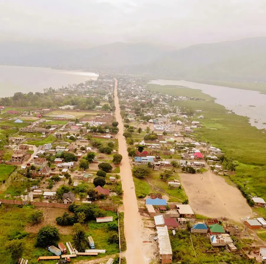
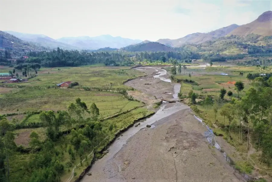
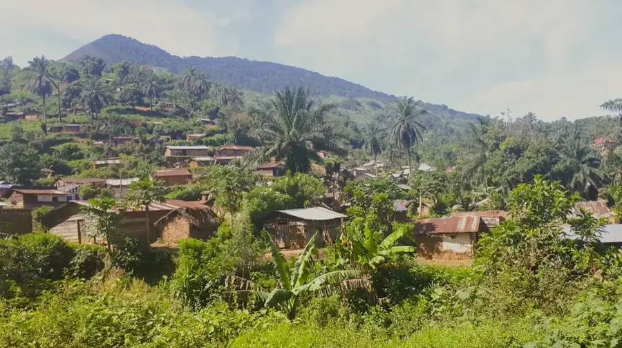
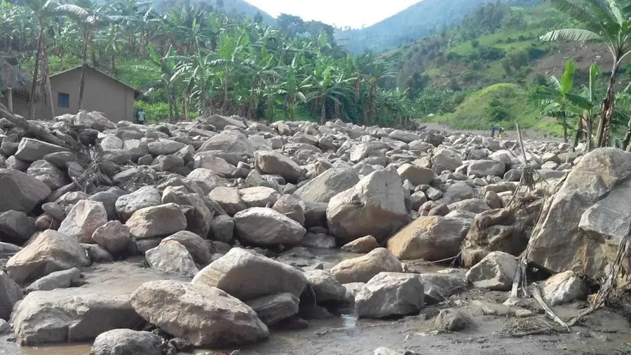
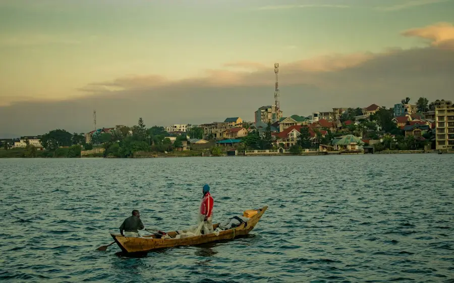
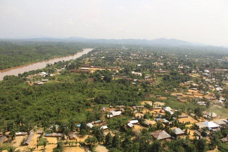
The historical Ruvubu Valley stretches along the Ruvubu River, one of the southernmost headwaters of the Nile, situated in the borderlands between the DR Congo, Burundi, and Tanzania. Geographically, the valley represents a vital ecological transition zone between East African savannas and Central African montane forests. Historically, the region served as a migration route for various ethnic groups who utilized the fertile alluvial soils for agriculture and livestock herding. The valley is renowned for its rich biodiversity and was once the stage for significant pre-colonial interactions among the regional kingdoms. During the colonial era, the area's rugged terrain often provided a sanctuary for resistance movements. The Ruvubu's waterways are critical to the hydrological balance of the Kagera Basin and thus to the entire upper reach of the Nile. Today, the focus remains on preserving the valley's natural resources to safeguard both cultural heritage and the livelihoods of local communities.
- Location: Congo - Kinshasa
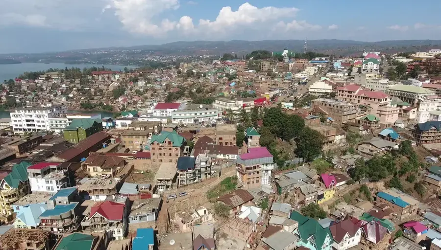
- Nearby: Walungu (23 km)
Best time to visit & climate
The most pleasant time to visit is Jun–Aug.
| Jan | Feb | Mar | Apr | May | Jun | Jul | Aug | Sep | Oct | Nov | Dec | |
|---|---|---|---|---|---|---|---|---|---|---|---|---|
| Avg °C | 18 | 19 | 19 | 18 | 18 | 17 | 17 | 18 | 19 | 19 | 18 | 18 |
| Rain mm | 159 | 141 | 197 | 181 | 112 | 52 | 31 | 73 | 127 | 188 | 265 | 180 |
📋 Practical info
Geography
Facts
- The Ruvubu River is approximately 300 kilometers long and flows into the Kagera River.
- The valley hosts one of the largest hippopotamus populations in the region.
- The nearby Ruvubu National Park was officially established in 1980.
- Historically, the region was part of the Kingdom of Burundi's sphere of influence.
- The average elevation of the valley floor is roughly 1,400 meters above sea level.
- The name 'Ruvubu' translates to 'hippopotamus' in the local language.
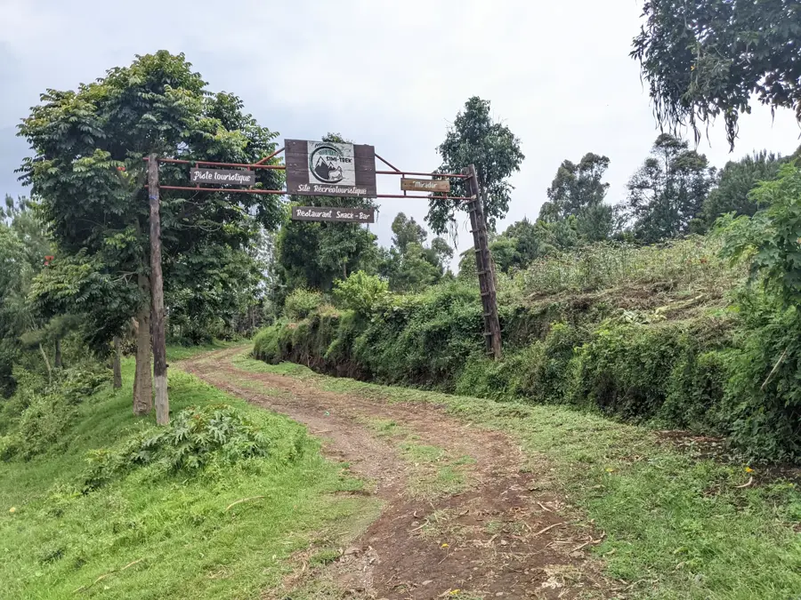
Explore nearby
Notable places around
Route planner — Car & Motorhome
Where do you start? We build the route here, with stops and country notes along the way.
© OpenStreetMap contributors · OpenRouteService
Sights nearby
Frequently asked questions
What is the historical Ruvubu Valley?
Where is the Ruvubu Valley located?
What has been excavated there?
Is the valley protected?
When is the best time to visit?
Historical Ruvubu Valley: where is it located?
Historical Ruvubu Valley: when is the best time to visit?
Historical Ruvubu Valley: why is it worth visiting?

Nearby cities

History & landmarks


More places