Plizio Visual Lab
Walikale
ℹ️Practical info — Walikale
▾
🌤 Weather — 5 days
📍 Nearby
Sights nearby
💡 Tips
- As this is a remote mining town deep in the forest, always have a trustworthy local guide with you.
- Road conditions can be extremely difficult, especially during heavy rains; flexibility in travel planning is a must.
- Electricity and internet access are often unreliable, so charge your devices at every opportunity.
- Respect local customs and do not photograph mining facilities or government buildings without explicit permission.
🍽 Food
The safest and most common option in the small local eateries.
A fermented cassava bread wrapped in leaves that has a very long shelf life.
A nutritious local dish that provides good energy for long days.
🛍 Shopping · 🧘 Quiet spots
Here you will find basic goods that often have to be brought in from long distances.
Locals occasionally sell honey and other items foraged from the surrounding rainforest.
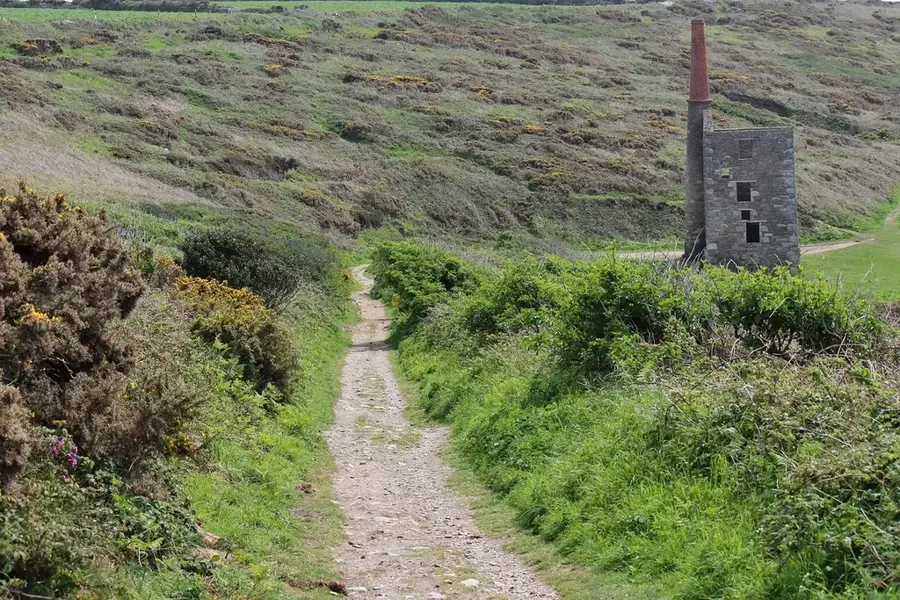
The church or mission grounds offer one of the few truly quiet spots in the bustling mining town.
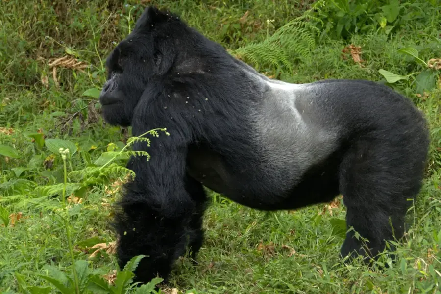
Accompanied by a guide, you can experience the incredible biodiversity at the quieter edges of the settlement.
Water temperature…
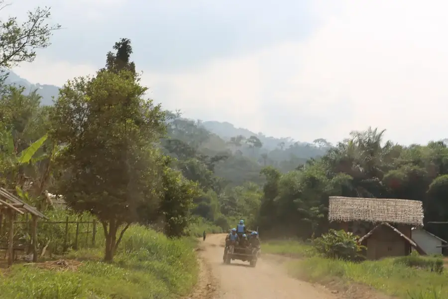
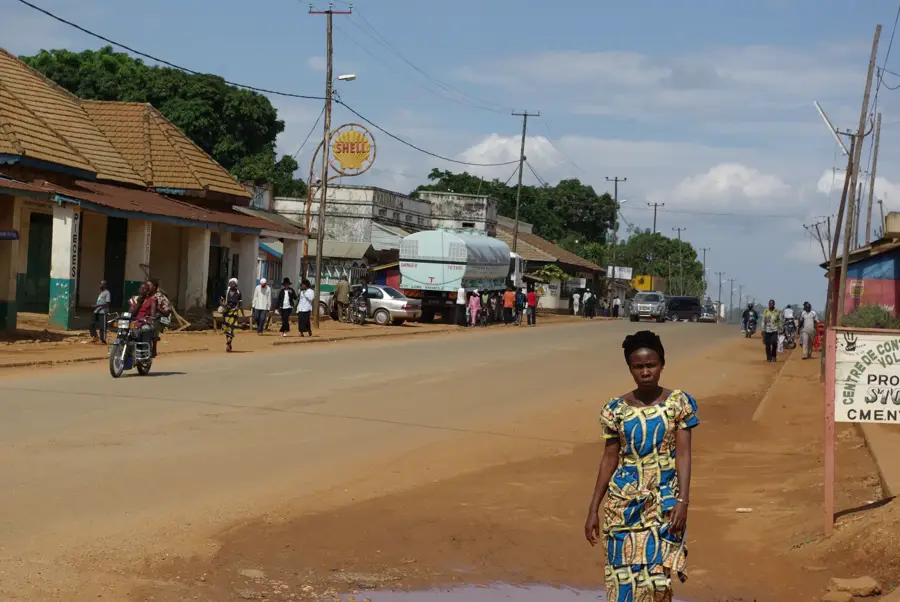
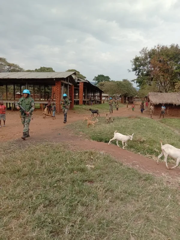
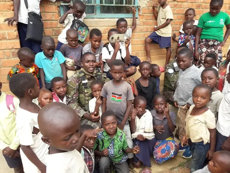
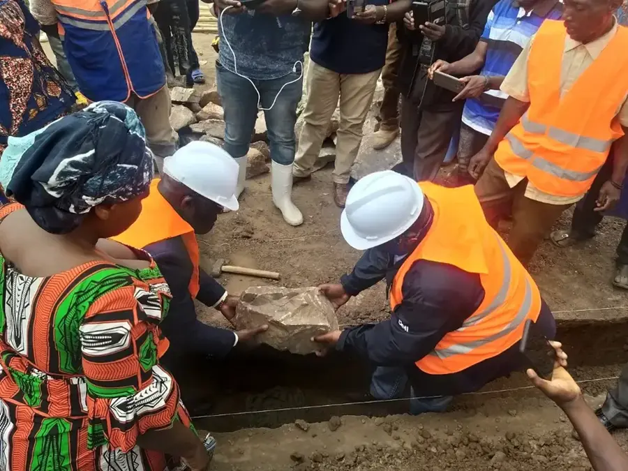
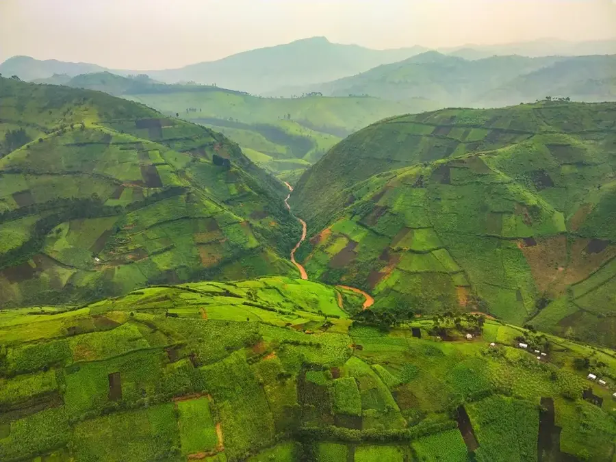
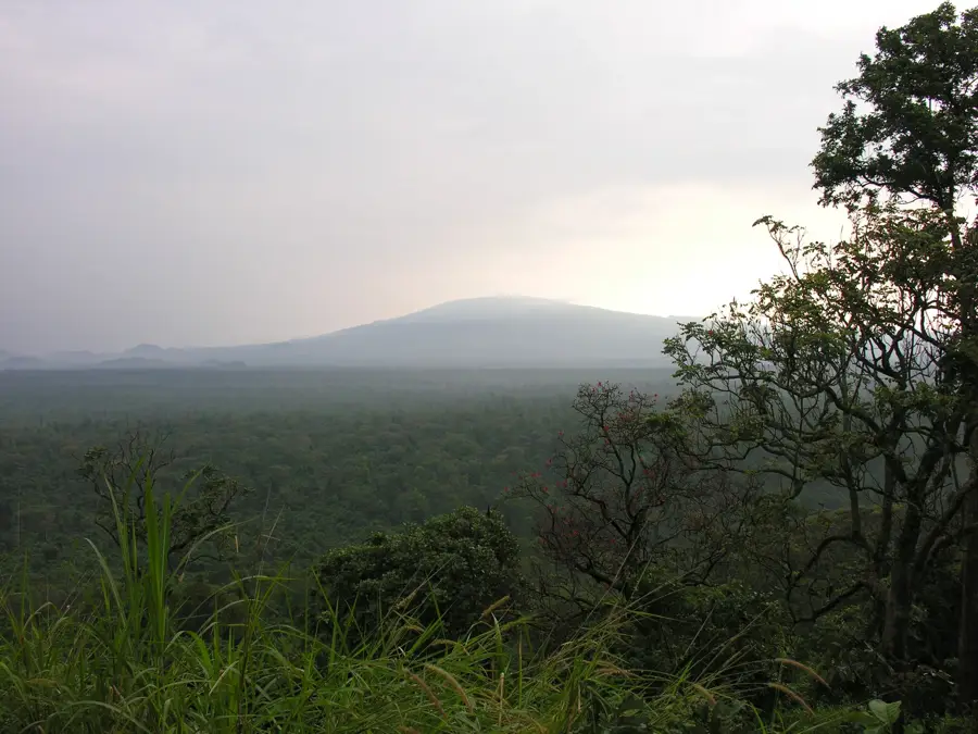
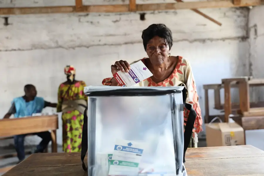
Walikale is a remote but economically strategic territory in the North Kivu province of the eastern Democratic Republic of the Congo. It is the largest territory in the province by land area and is almost entirely covered by dense tropical rainforest. The region is globally renowned for its vast deposits of mineral resources, particularly tin (cassiterite), gold, and coltan. The Bisie mine in Walikale is considered one of the richest sources of tin in the world. Despite this wealth, infrastructure remains extremely underdeveloped, and many locations are only accessible via air transport or arduous forest trails. The local population consists primarily of the Nyanga and Tembo ethnic groups, whose traditional lifestyle is deeply integrated with the forest. Control over the mines has been a central factor in regional conflicts between various militias for decades. In recent years, there have been increased efforts to formalize mining and strengthen the presence of state institutions. The ecological significance of Walikale's forest is immense for maintaining local biodiversity.
- Location: Congo - Kinshasa
- Nearby: Masisi (83 km)
Best time to visit & climate
The most pleasant time to visit is Jun–Aug.
| Jan | Feb | Mar | Apr | May | Jun | Jul | Aug | Sep | Oct | Nov | Dec | |
|---|---|---|---|---|---|---|---|---|---|---|---|---|
| Avg °C | 23 | 23 | 23 | 23 | 23 | 23 | 23 | 23 | 23 | 23 | 22 | 22 |
| Rain mm | 139 | 149 | 248 | 211 | 148 | 77 | 45 | 105 | 174 | 248 | 297 | 204 |
Geography
Facts
- Walikale is the largest territory in North Kivu province by land area.
- The Bisie mine in Walikale is one of the world's largest tin deposits.
- The region is almost entirely covered by dense rainforest.
- Many parts of the territory are only accessible by small aircraft.
- Nyanga and Tembo are the predominant ethnic groups in the area.
- Illegal mining was long a major source of funding for local militias.
Explore nearby
Notable places around
Route planner — Car & Motorhome
Where do you start? We build the route here, with stops and country notes along the way.
© OpenStreetMap contributors · OpenRouteService
Frequently asked questions
What is Walikale economically known for?
How to get to Walikale?
Are there tourist attractions in Walikale?
How is the security situation in Walikale?
What is the predominant landscape?
Walikale: where is it located?
Walikale: when is the best time to visit?
Walikale: why is it worth visiting?

Nearby cities

History & landmarks

More places