Volkskunde- und Mühlenmuseum🏛 museum
A museum dedicated to local folklore and milling history.
🌐 museum-waltersdorf.jimdosite.com🕒 We 10:00-12:00, Fr-Sa 10:00-16:00
Plizio Visual Lab
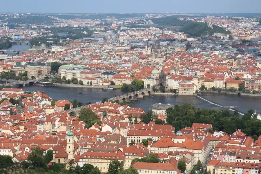
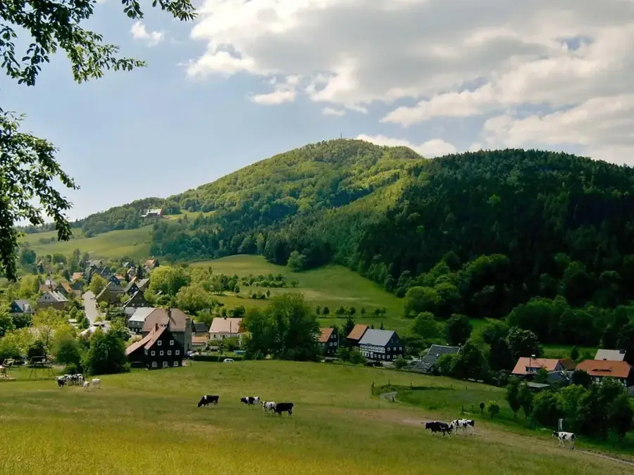
Luž is the highest peak of the Lusatian Mountains, standing at an elevation of 793 meters on the border between the Czech Republic and Germany. The mountain originated from volcanic activity approximately 30 million years ago and consists primarily of phonolite, a volcanic rock known for its ringing sound when struck. Historically, the summit was a major tourist destination, featured a prominent mountain inn that operated for over a century before being destroyed by fire in 1946. Today, a modern observation platform provides visitors with panoramic views of the Zittau Mountains, Bohemian Switzerland, and the distant Giant Mountains. The slopes are covered with dense beech and coniferous forests, with parts of the area designated as a nature reserve to protect rare alpine flora. During winter, Luž becomes a popular spot for cross-country skiing, while summer attracts hikers following well-marked trails from both sides of the border. The peak serves as a symbol of cross-border cooperation within the Neisse Euroregion, connecting the hiking networks of Bohemia and Saxony.
The most pleasant time to visit is Jun–Aug.
| Jan | Feb | Mar | Apr | May | Jun | Jul | Aug | Sep | Oct | Nov | Dec | |
|---|---|---|---|---|---|---|---|---|---|---|---|---|
| Avg °C | -2 | -1 | 3 | 8 | 13 | 17 | 19 | 19 | 14 | 9 | 4 | 0 |
| Rain mm | 63 | 44 | 51 | 38 | 66 | 75 | 89 | 83 | 59 | 56 | 56 | 56 |
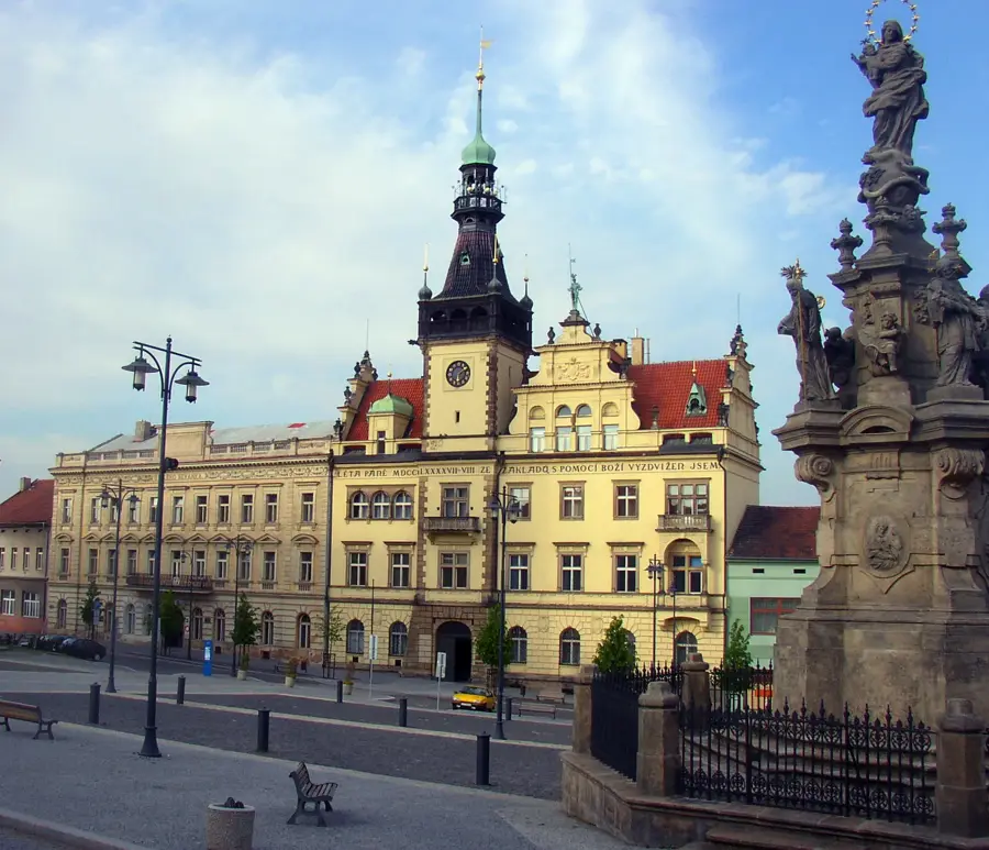
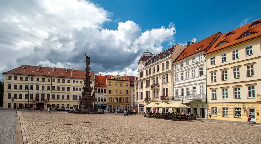
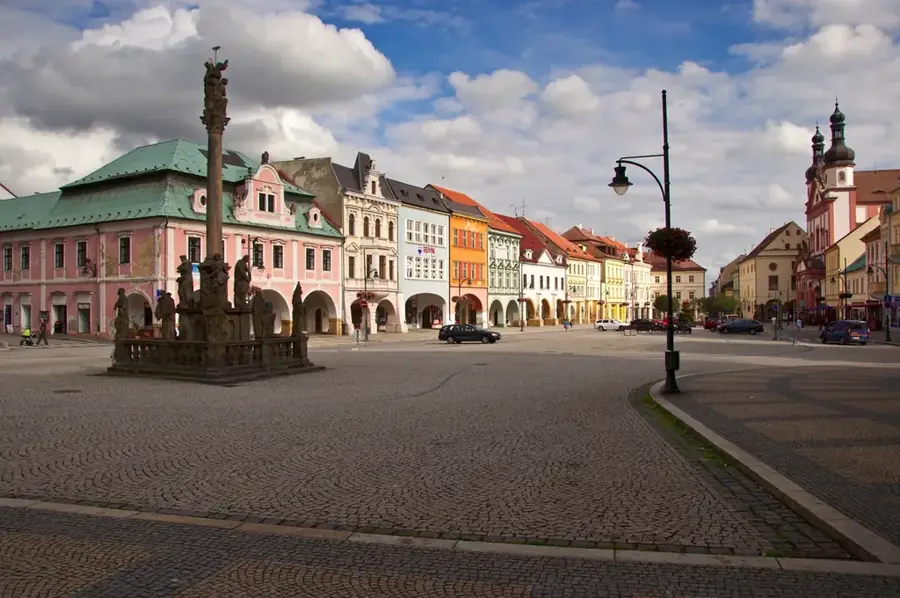
Notable places around
Where do you start? We build the route here, with stops and country notes along the way.
© OpenStreetMap contributors · OpenRouteService
A museum dedicated to local folklore and milling history.
A museum showcasing the traditional weaving arts of the region.
A small water facility for refreshment and bathing fun.