Plizio Visual Lab
Moslavačka gora
Weather…
Water temperature…
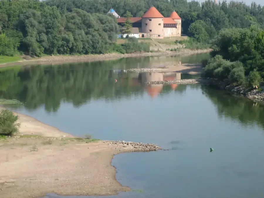
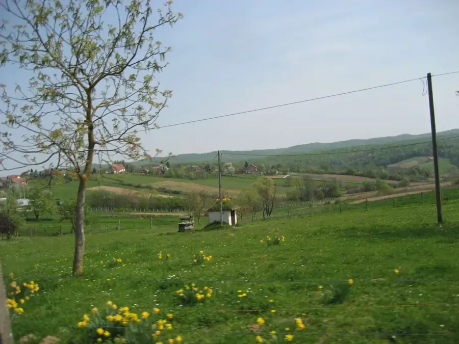
Moslavačka gora is an isolated mountain range in central Croatia, located on the border between the Sisak-Moslavina and Bjelovar-Bilogora counties. The range is composed of very old magmatic and metamorphic rocks, which geologically distinguishes it from the surrounding sedimentary plains. Its highest peak is Humka, standing at 489 meters above sea level. Since 2011, the area has been protected as a regional park, characterized by dense beech and oak forests as well as numerous springs and streams. Historically, the region was a retreat for nobility, evidenced by the ruins of medieval castles such as Garić grad, one of the oldest fortifications in Croatia. Moslavačka gora is also known for its winemaking tradition on the southern slopes, where the indigenous Škrlet grape variety is grown. Stone quarries in the region provided building materials for significant structures in Zagreb, including the Croatian Parliament building. Today, the regional park is a popular destination for hikers and cyclists from the nearby capital. The blend of historical heritage and untouched nature makes the region a quiet find for recreation.
- Location: Croatia
- Top sights: Regional park Moslavačka gora · Bršljanac · Monument to the Revolution of the people of Moslavina
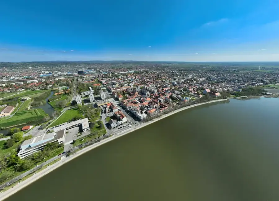
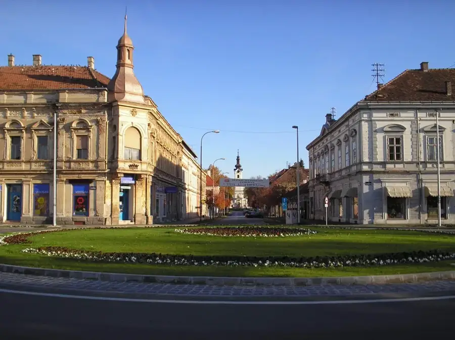
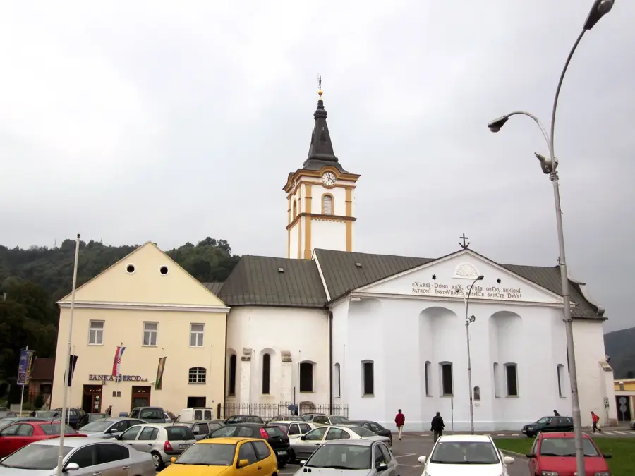
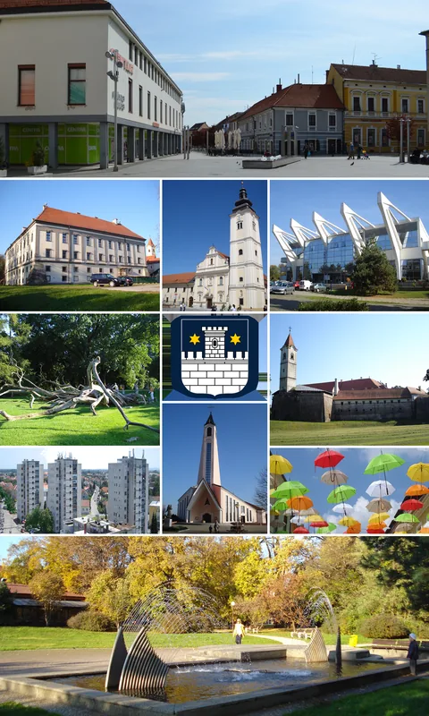
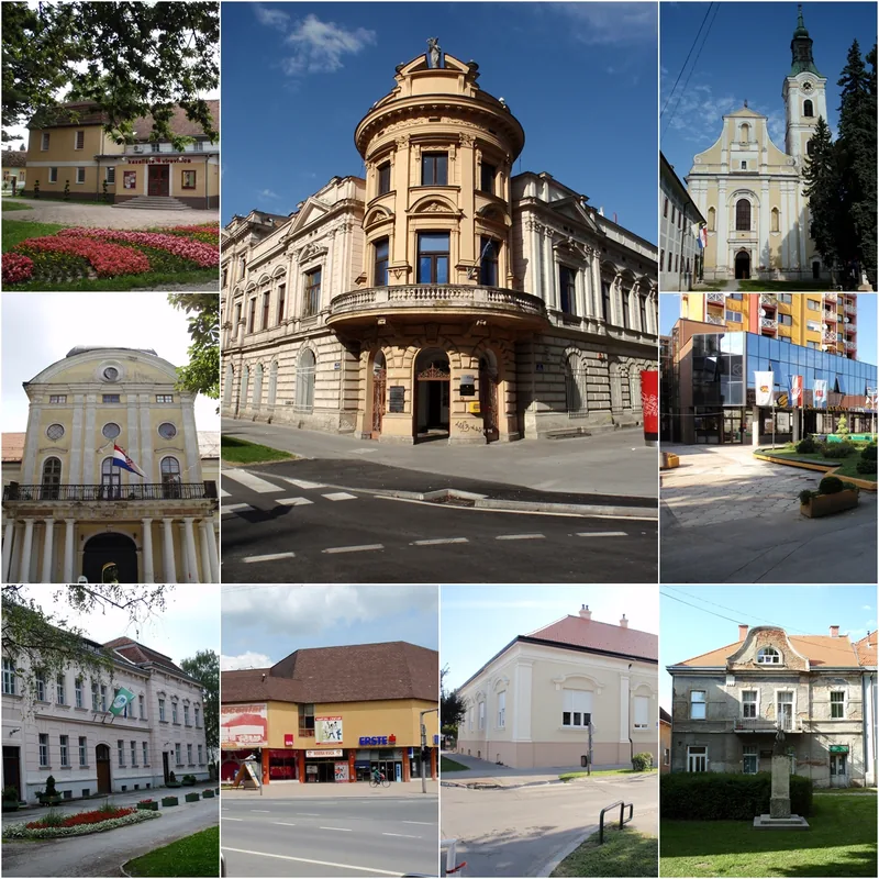
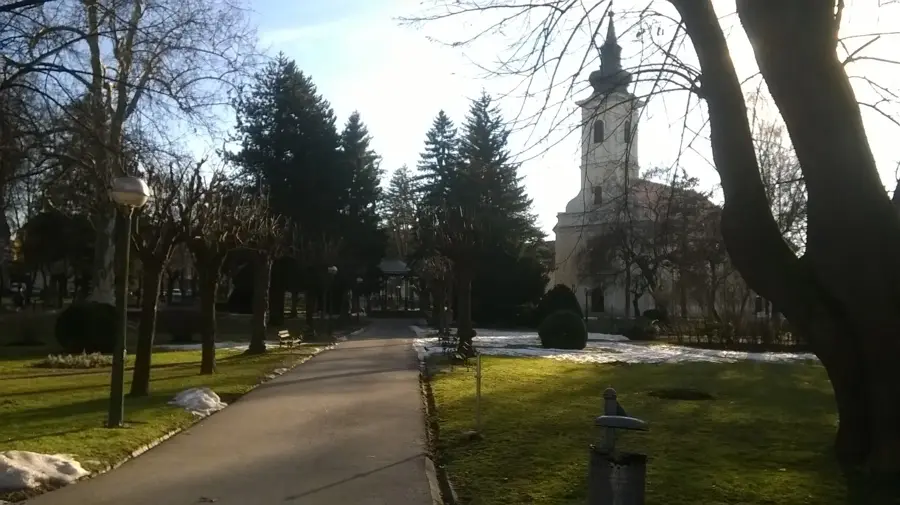
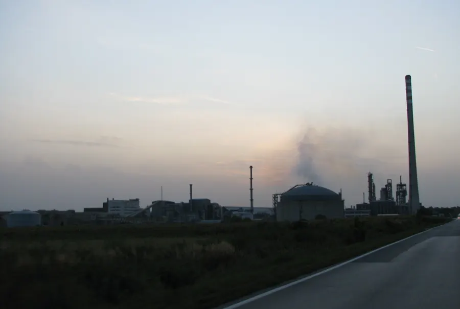
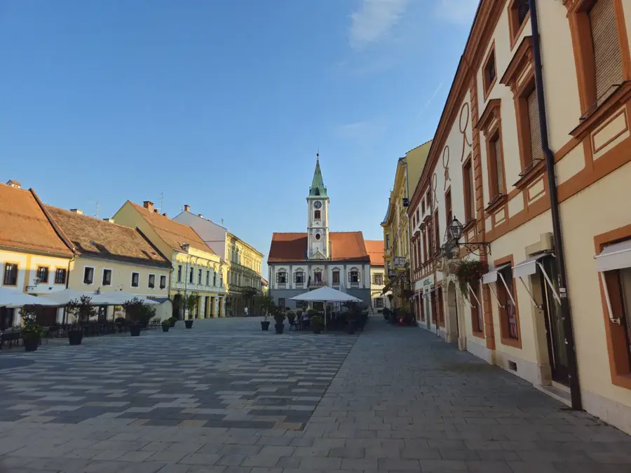
- Nearby: Popovača (11 km)
Best time to visit & climate
The most pleasant time to visit is Jun–Aug.
| Jan | Feb | Mar | Apr | May | Jun | Jul | Aug | Sep | Oct | Nov | Dec | |
|---|---|---|---|---|---|---|---|---|---|---|---|---|
| Avg °C | 0 | 2 | 6 | 11 | 16 | 20 | 23 | 23 | 17 | 12 | 6 | 1 |
| Rain mm | 57 | 61 | 61 | 62 | 93 | 84 | 70 | 72 | 101 | 79 | 74 | 65 |
📋 Practical info
Geography
Facts
- Moslavačka gora was designated a regional park in 2011.
- The highest summit, Humka, stands at 489 meters.
- The Garić grad fortress, built in 1256, is one of Croatia's oldest medieval ruins.
- Geologically, it is one of the oldest mountain formations in Croatia.
- The southern slopes are home to the unique indigenous Škrlet grape variety.
- Fossils of prehistoric elephants and rhinos have been discovered in the local soil.
Explore nearby
Notable places around
Route planner — Car & Motorhome
Where do you start? We build the route here, with stops and country notes along the way.
© OpenStreetMap contributors · OpenRouteService
Sights in the town Moslavačka gora (5)
Sights nearby
Frequently asked questions
Where is Moslavačka gora located?
What is the highest peak of Moslavačka gora?
What historical ruins can be found here?
Is the region famous for wine?
Are there protected areas on the mountain?
Moslavačka gora: where is it located?
Moslavačka gora: what is there to see?
Moslavačka gora: when is the best time to visit?
Moslavačka gora: why is it worth visiting?

Nearby cities