Plizio Visual Lab
Krndija
Weather…
Water temperature…
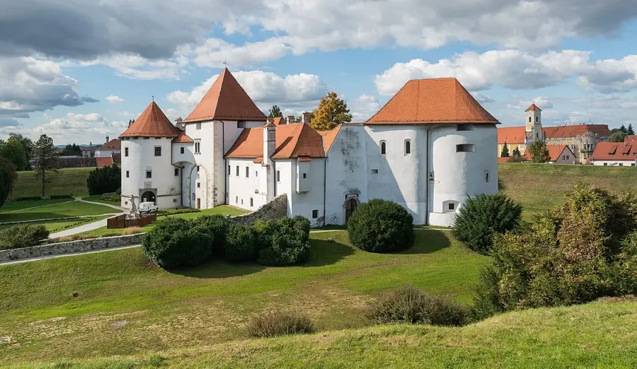
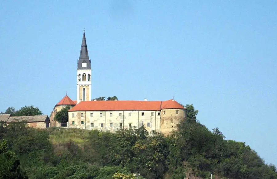
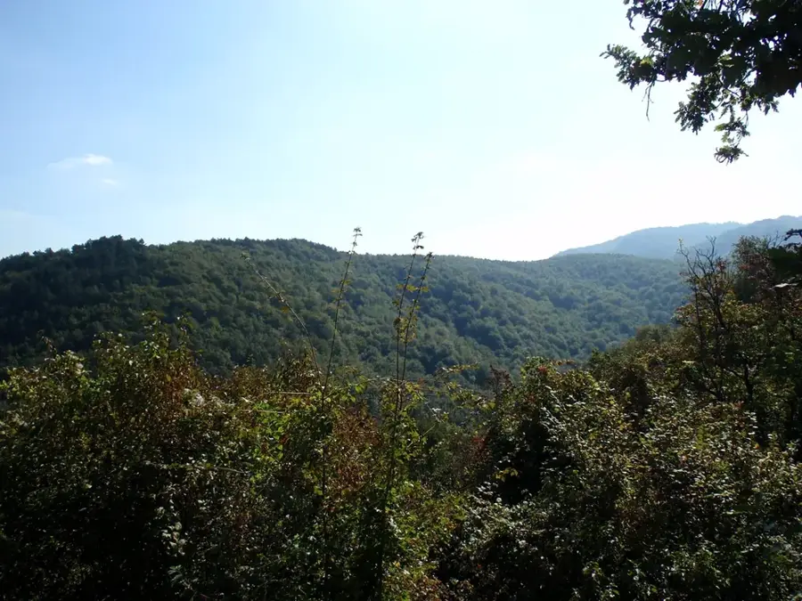
Krndija is a mountain range in eastern Croatia that forms the easternmost part of the Slavonian highland, adjacent to the Papuk mountain. Its highest peak is Kapovac, reaching 792 meters, which is topped by a prominent television transmitter. Geologically, Krndija is remarkably diverse, containing not only metamorphic rocks but also rare volcanic formations, distinguishing it from surrounding ranges. The slopes are heavily forested, while the lower foothills are renowned for fertile vineyards, particularly around Našice and Feričanci. Historically, the area is famous for its medieval fortresses, most notably Ružica grad near Orahovica, which is one of the largest and best-preserved castle ruins in Croatia. The mountain is a favored destination for nature enthusiasts as it is part of the Papuk UNESCO Global Geopark, offering extensive hiking trails through pristine woodlands.
- Location: Croatia
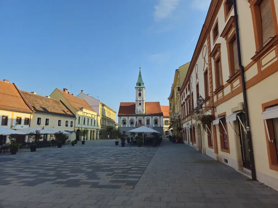
- Nearby: Kutjevo (4 km)
Best time to visit & climate
The most pleasant time to visit is Jun–Aug.
| Jan | Feb | Mar | Apr | May | Jun | Jul | Aug | Sep | Oct | Nov | Dec | |
|---|---|---|---|---|---|---|---|---|---|---|---|---|
| Avg °C | 0 | 2 | 6 | 12 | 17 | 21 | 24 | 23 | 18 | 12 | 6 | 1 |
| Rain mm | 48 | 50 | 50 | 53 | 83 | 83 | 64 | 61 | 70 | 61 | 54 | 52 |
📋 Practical info
Geography
Facts
- Highest peak: Kapovac at 792 meters.
- Integrative part of the Papuk UNESCO Global Geopark.
- Home to Ružica grad, a massive 14th-century fortress.
- Contains distinct volcanic rock formations.
- The range marks the eastern limit of the Slavonian mountains.
- Known for the excellent white wines produced on its slopes.
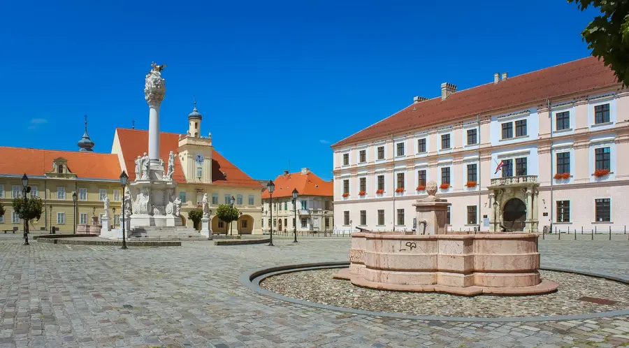
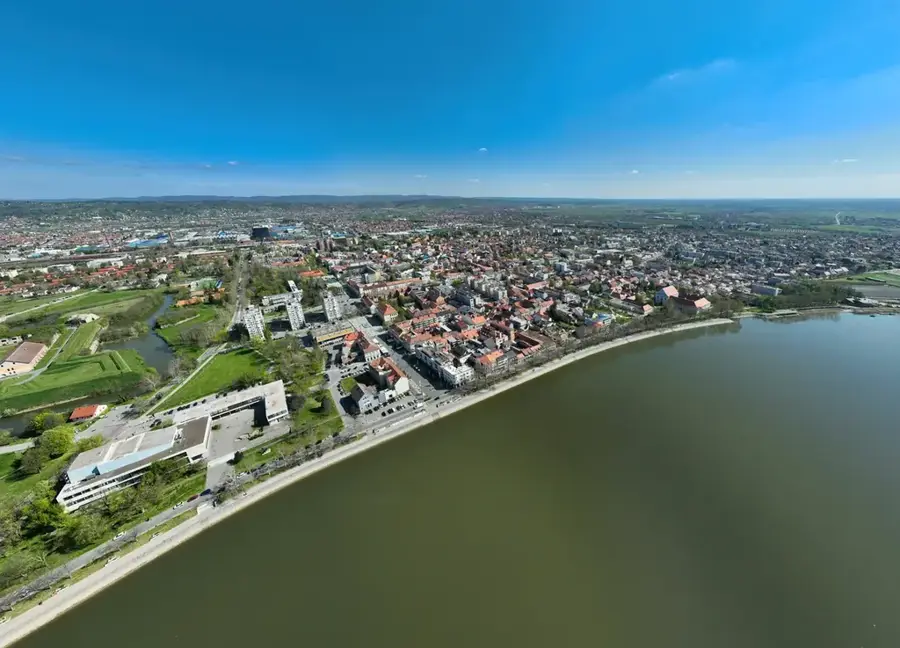
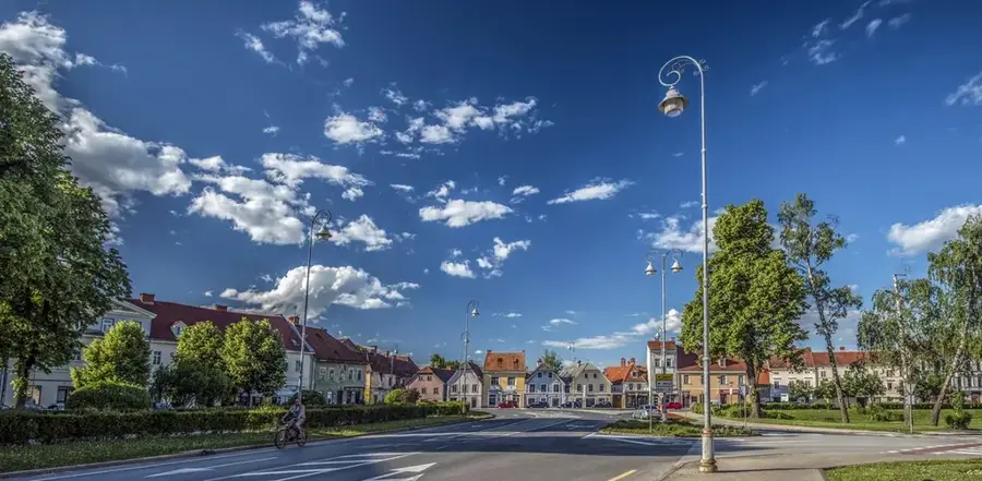
Explore nearby
Notable places around
Route planner — Car & Motorhome
Where do you start? We build the route here, with stops and country notes along the way.
© OpenStreetMap contributors · OpenRouteService
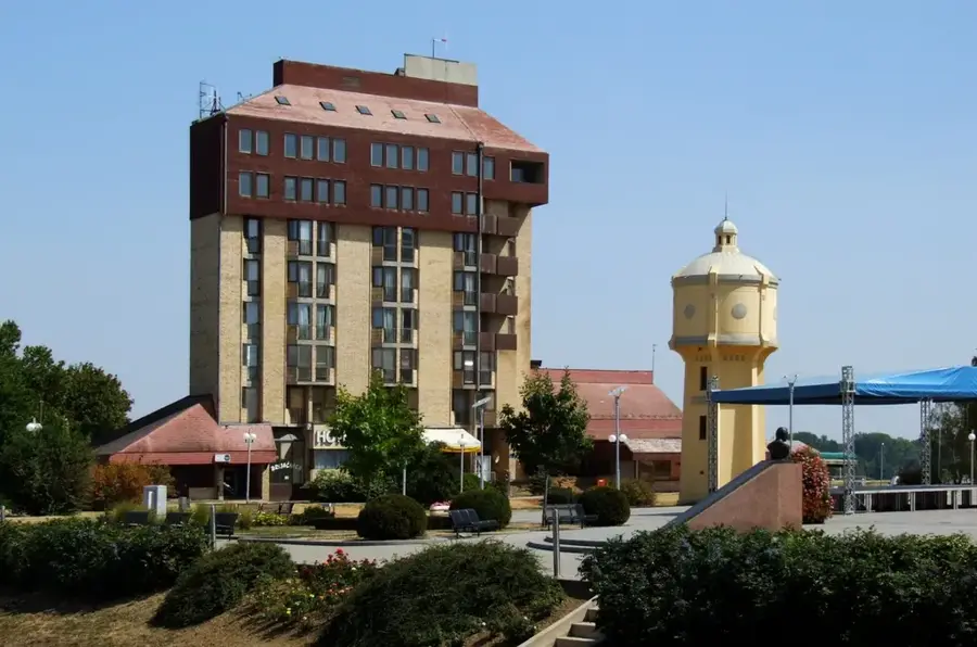
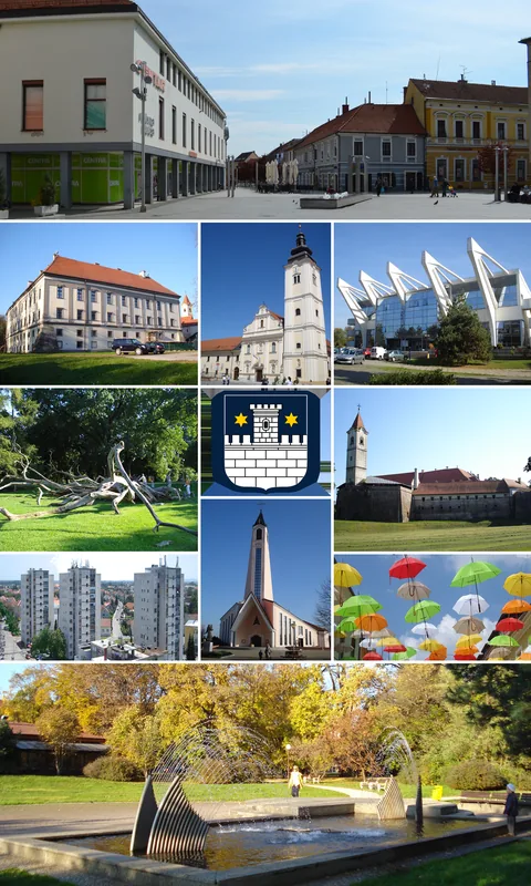
Sights in the town Krndija (1)
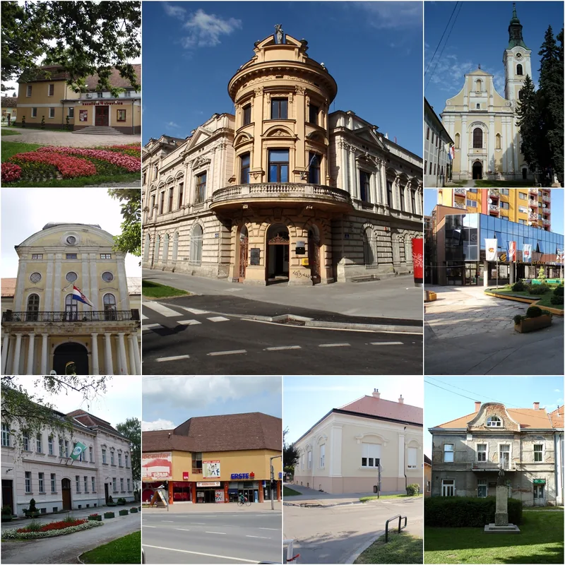
Sights nearby
Frequently asked questions
Where is Krndija located?
How high is the highest peak?
Which town is nearby?
Are there monasteries or ruins there?
What is the region known for?
Krndija: where is it located?
Krndija: when is the best time to visit?
Krndija: why is it worth visiting?

Nearby cities
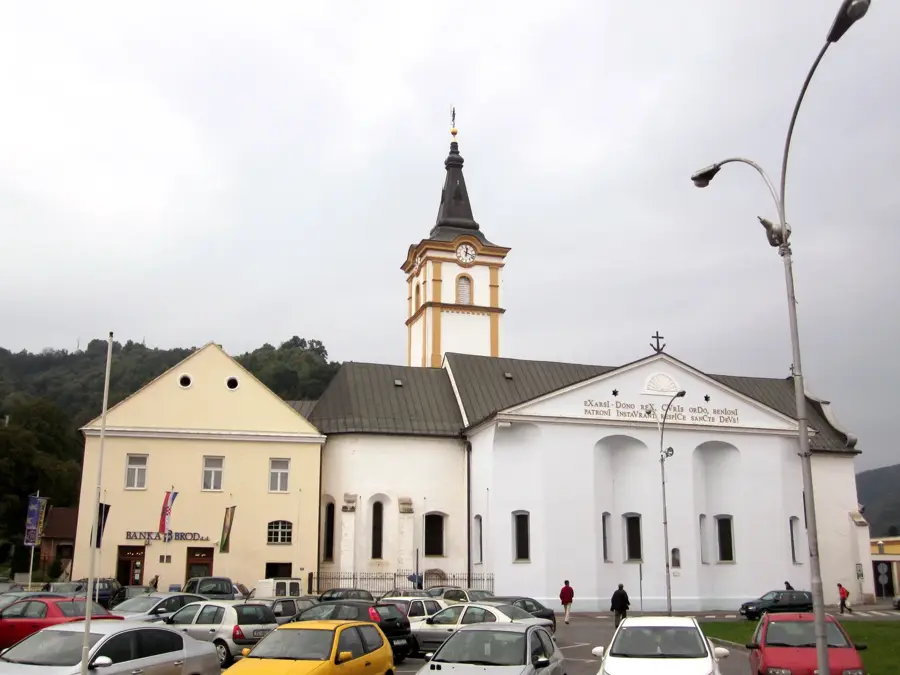
History & landmarks